Lane is a town in Williamsburg County, South Carolina, United States. The population was 508 at the 2010 census.
Lane is a predominately black town.
| Name: | Lane town |
|---|---|
| LSAD Code: | 43 |
| LSAD Description: | town (suffix) |
| State: | South Carolina |
| County: | Williamsburg County |
| Elevation: | 69 ft (21 m) |
| Total Area: | 3.95 sq mi (10.23 km²) |
| Land Area: | 3.95 sq mi (10.23 km²) |
| Water Area: | 0.00 sq mi (0.00 km²) |
| Total Population: | 472 |
| Population Density: | 119.49/sq mi (46.14/km²) |
| ZIP code: | 29564 |
| Area code: | 843, 854 |
| FIPS code: | 4540210 |
| GNISfeature ID: | 1246290 |
| Website: | townoflane.com |
Online Interactive Map
Click on ![]() to view map in "full screen" mode.
to view map in "full screen" mode.
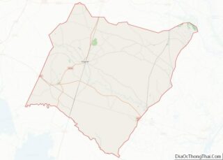
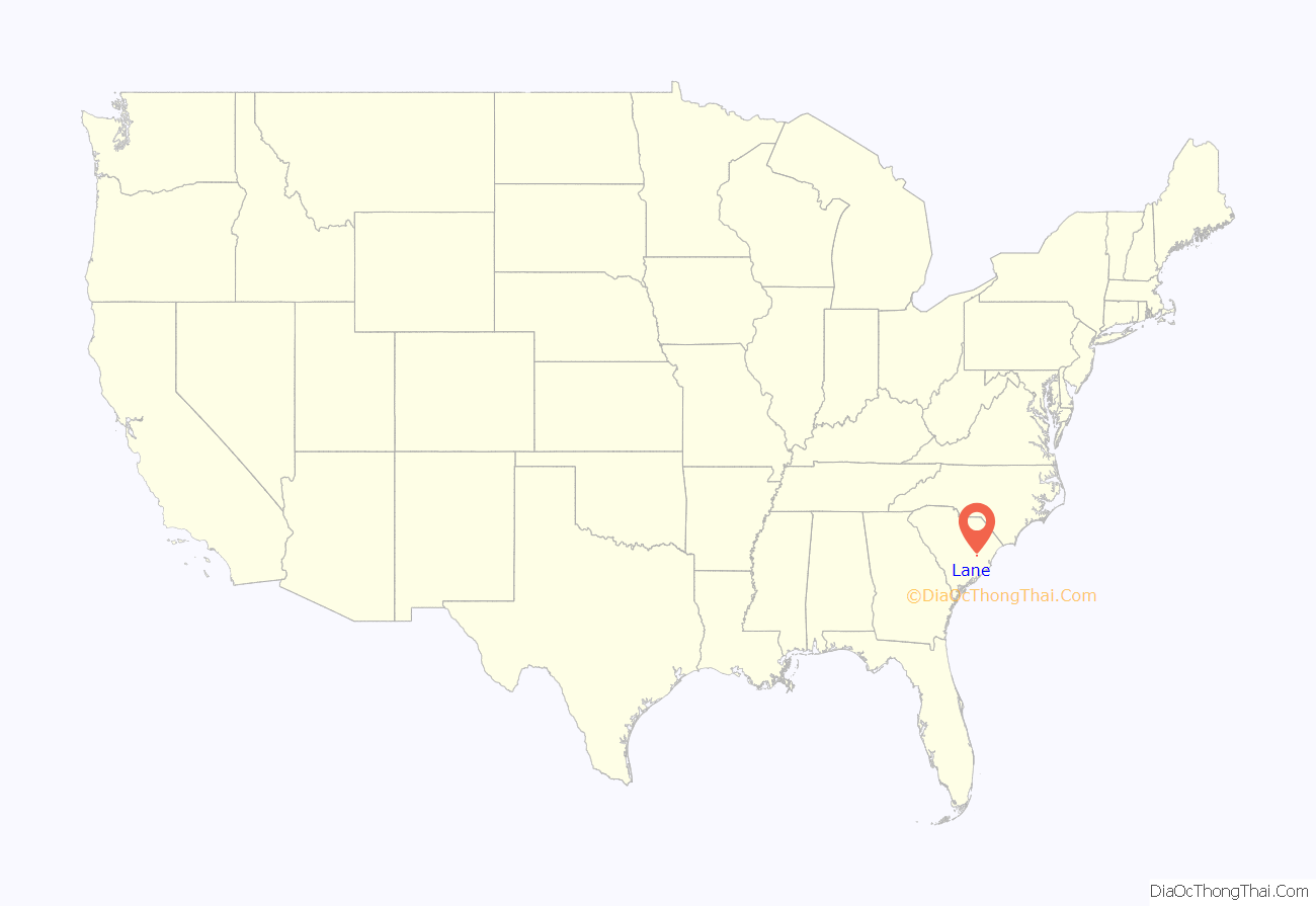
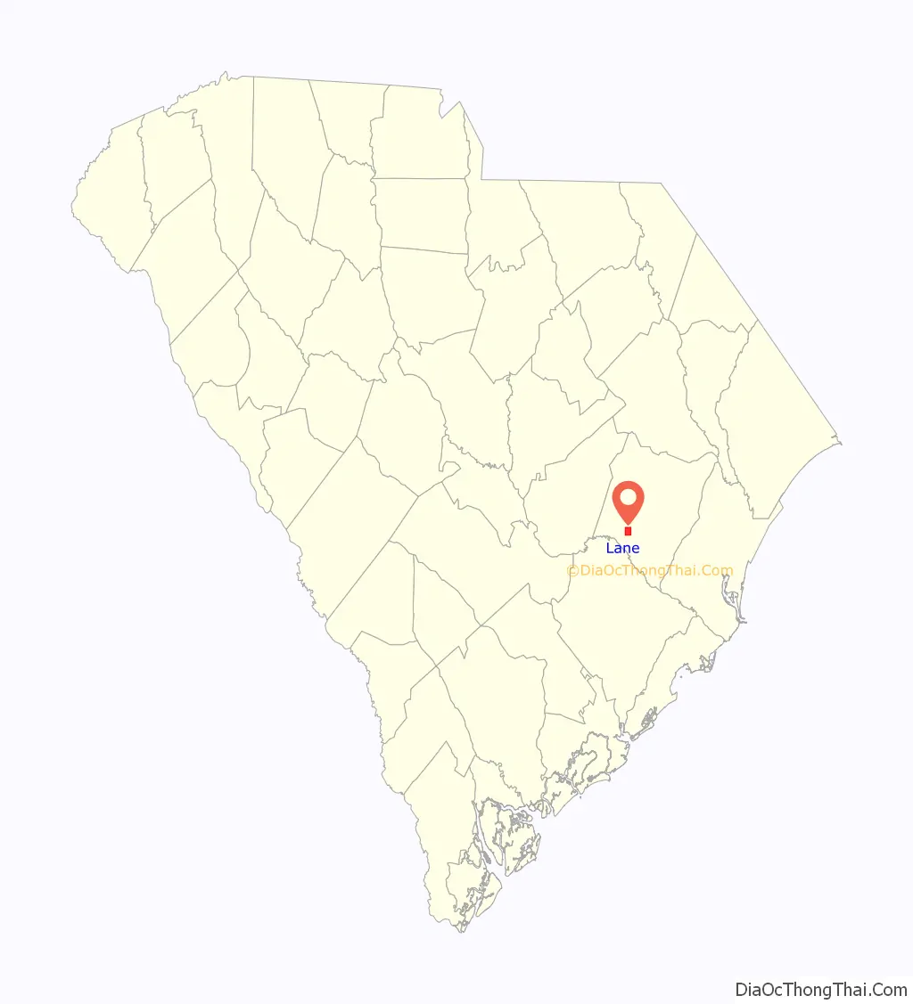
Lane location map. Where is Lane town?
History
Lane, a farming community between the Santee and Black River Basins, was established in 1856.
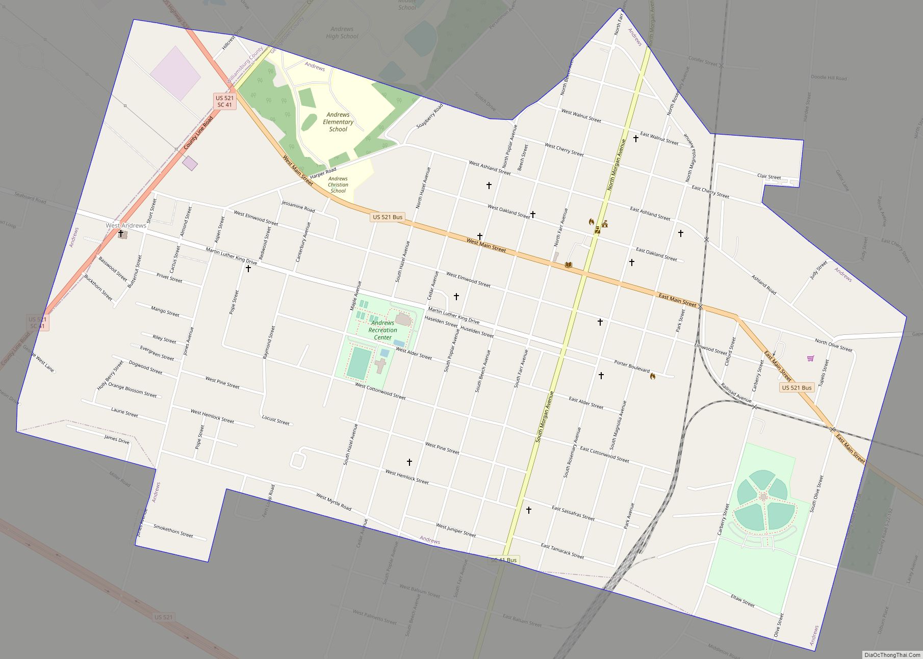
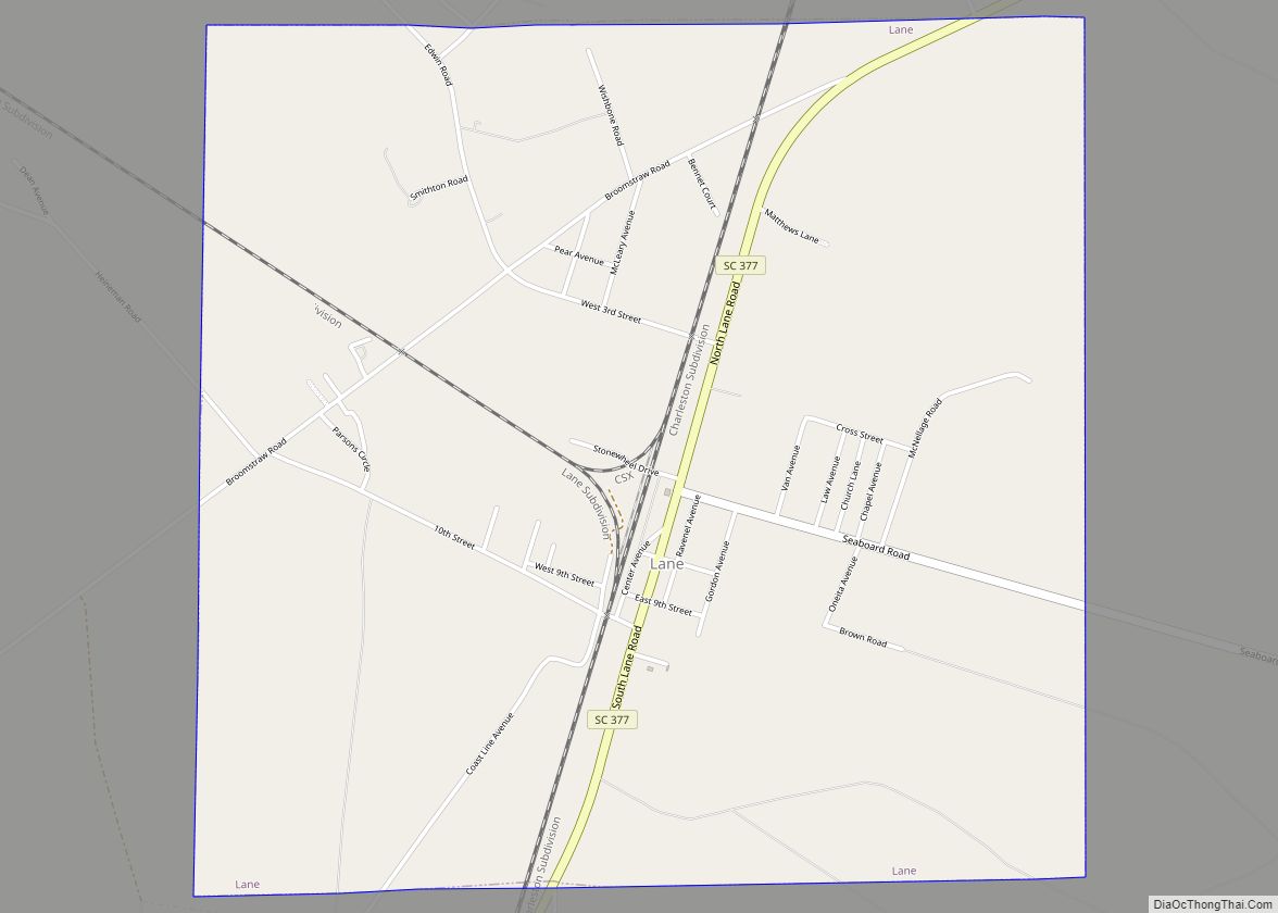
The town is bisected by the main north–south CSX Transportation line. Located in a rural setting, Lane is situated a short distance southeast of the intersection of US Highways 52 and 521. The water, provided by a modern municipal water system from ground water sources, was named the best drinking water by the SC Rural Water Association in 1990.
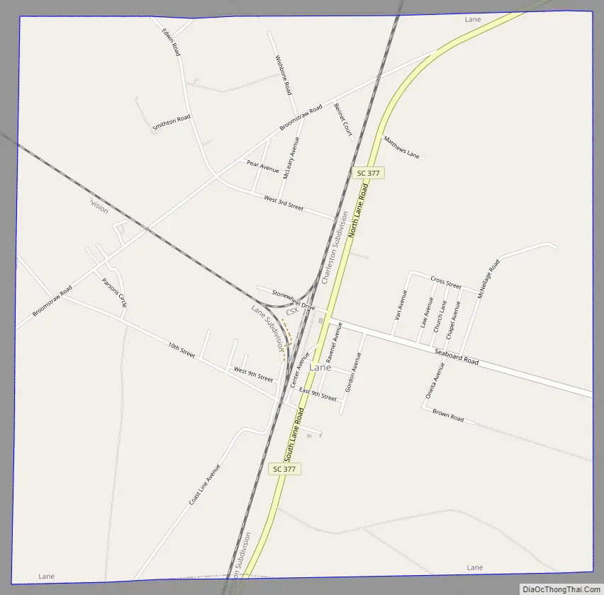
Lane Road Map
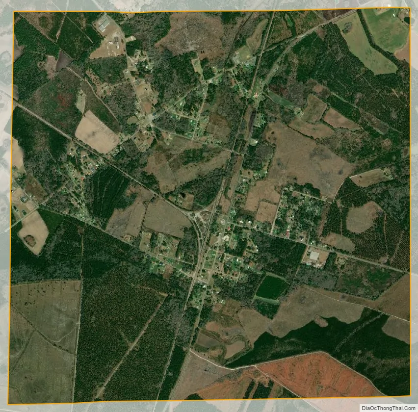
Lane city Satellite Map
Geography
Lane is located at 33°31′31″N 79°52′46″W / 33.52528°N 79.87944°W / 33.52528; -79.87944 (33.525346, -79.879560).
According to the United States Census Bureau, the town has a total area of 4.0 square miles (10 km), all of it land.
Lane is located about an hour’s drive from Charleston and the Atlantic Ocean.
See also
Map of South Carolina State and its subdivision:- Abbeville
- Aiken
- Allendale
- Anderson
- Bamberg
- Barnwell
- Beaufort
- Berkeley
- Calhoun
- Charleston
- Cherokee
- Chester
- Chesterfield
- Clarendon
- Colleton
- Darlington
- Dillon
- Dorchester
- Edgefield
- Fairfield
- Florence
- Georgetown
- Greenville
- Greenwood
- Hampton
- Horry
- Jasper
- Kershaw
- Lancaster
- Laurens
- Lee
- Lexington
- Marion
- Marlboro
- McCormick
- Newberry
- Oconee
- Orangeburg
- Pickens
- Richland
- Saluda
- Spartanburg
- Sumter
- Union
- Williamsburg
- York
- Alabama
- Alaska
- Arizona
- Arkansas
- California
- Colorado
- Connecticut
- Delaware
- District of Columbia
- Florida
- Georgia
- Hawaii
- Idaho
- Illinois
- Indiana
- Iowa
- Kansas
- Kentucky
- Louisiana
- Maine
- Maryland
- Massachusetts
- Michigan
- Minnesota
- Mississippi
- Missouri
- Montana
- Nebraska
- Nevada
- New Hampshire
- New Jersey
- New Mexico
- New York
- North Carolina
- North Dakota
- Ohio
- Oklahoma
- Oregon
- Pennsylvania
- Rhode Island
- South Carolina
- South Dakota
- Tennessee
- Texas
- Utah
- Vermont
- Virginia
- Washington
- West Virginia
- Wisconsin
- Wyoming