McBee /ˈmækbi/ is a town in Chesterfield County, South Carolina, United States. As of the 2010 census, the population was 867. McBee is approximately 36 miles (58 km) northwest of Florence and 62 miles (100 km) northeast of Columbia.
| Name: | McBee town |
|---|---|
| LSAD Code: | 43 |
| LSAD Description: | town (suffix) |
| State: | South Carolina |
| County: | Chesterfield County |
| Founded: | October 8, 1901 |
| Elevation: | 479 ft (146 m) |
| Total Area: | 1.31 sq mi (3.40 km²) |
| Land Area: | 1.31 sq mi (3.40 km²) |
| Water Area: | 0.00 sq mi (0.00 km²) |
| Total Population: | 758 |
| Population Density: | 578.18/sq mi (223.22/km²) |
| ZIP code: | 29101 |
| Area code: | 843, 854 |
| FIPS code: | 4543495 |
| GNISfeature ID: | 1231526 |
| Website: | townofmcbeesc.com |
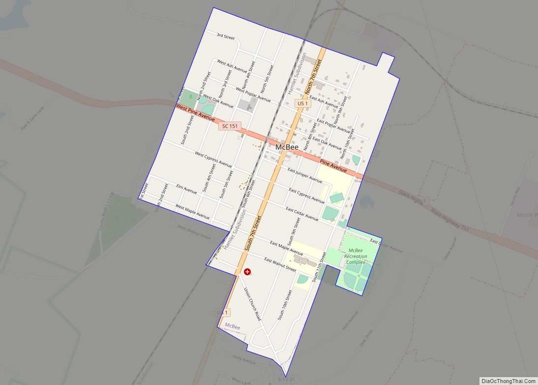
Online Interactive Map
Click on ![]() to view map in "full screen" mode.
to view map in "full screen" mode.
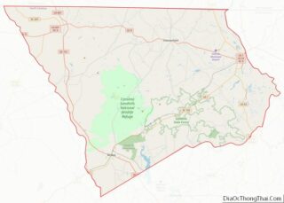
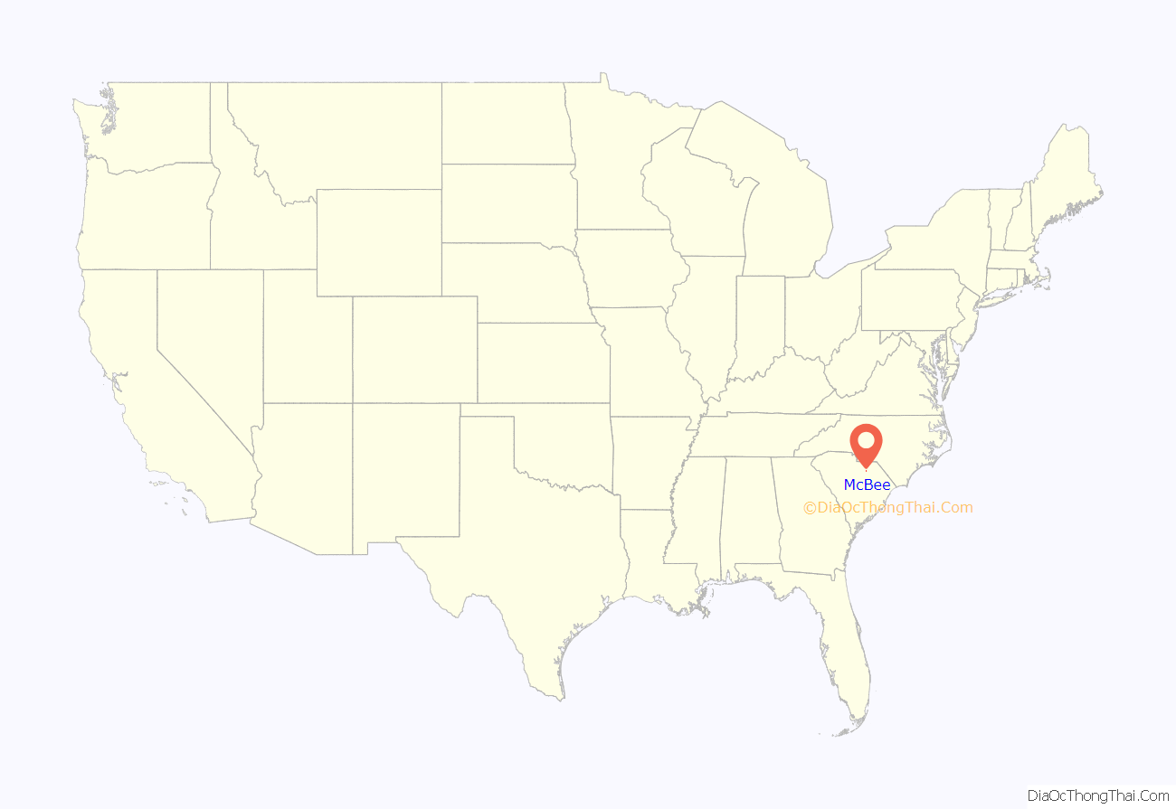
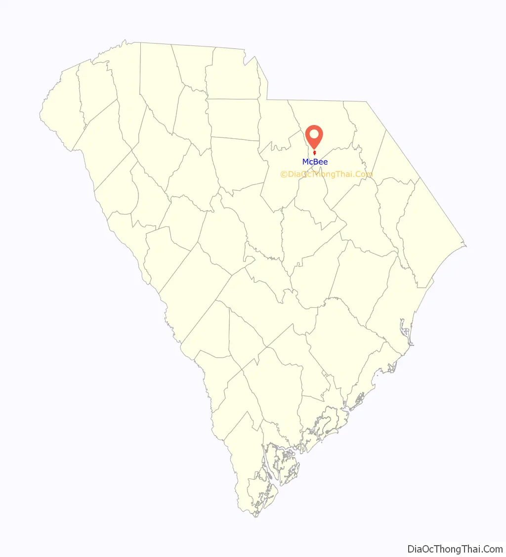
McBee location map. Where is McBee town?
History
Origin
McBee was named after a railroad executive, V.E. “Bunch” McBee, born July 26, 1849, in Greenville County, South Carolina. Bunch McBee was one of South Carolina’s leading forces in the building of railroads, was responsible for the Columbia to Hamlet, North Carolina, line, which runs through McBee, and was at one time superintendent of the Seaboard Air Line Railroad.
20th century
In 1900, McBee’s first railroad depot was built. About one year later on October 8, 1901, McBee was incorporated. On June 30, 1901, McBee Presbyterian Church was built, the first church in McBee. Six years later in 1907 McBee’s second church, McBee Methodist Church, was built.
After the Seaboard’s Columbia-to-Cheraw line was completed in 1900, McBee grew so quickly that a new depot became a high priority by the end of the decade. In 1914, the Seaboard Air Line Railroad built a second depot in McBee. This was both a passenger and freight depot until it closed in 1971. Now it is the McBee Depot Library and Railroad Museum. It was listed in the National Register of Historic Places in 1999 as the Seaboard Air Line Railway Depot in McBee. In 1980, the railroad became a subsidiary of the newly created CSX Corporation, and in 1986 the Seaboard name was changed to CSX Transportation.
In 1945, U.S. Route 1 through McBee was named the Blue Star Memorial Highway Number 6.
McBee Rescue was originally formed in 1962 as a joint venture with Jefferson Rescue to fill the need of rescue – ambulance service in the area. The ambulance was rotated between McBee and Jefferson and responded to the appropriate area as needed. The ambulance was originally parked on the street corner in McBee and later at the Health Center prior to constructing the current squad building. Prior to the ambulance, the only means of transport to the hospital was by personal vehicle or by the funeral home hearse, which had to come from Hartsville. Approximately one year later McBee and Jefferson split and formed their own respective squads and each purchased an ambulance.
In 1973, the town of McBee purchased a second engine for the McBee Fire Department. In 1986, Alligator Fire District was formed with McBee Fire Department.
21st century
In 2001, McBee celebrated its 100-year anniversary. In 2001 McBee Elementary School was re-modeled. Following the completion of the elementary school, in 2005 McBee High School also was re-modeled. In 2012 McBee built a recreational complex that consists of four baseball diamonds, a football field, a soccer field, a walking trail, and a practice football field. In 2013 McBee launched their official website. Nestle Waters of North American, completed their bottled water facility in 2016, creating 27 jobs in McBee.
McBee Road Map
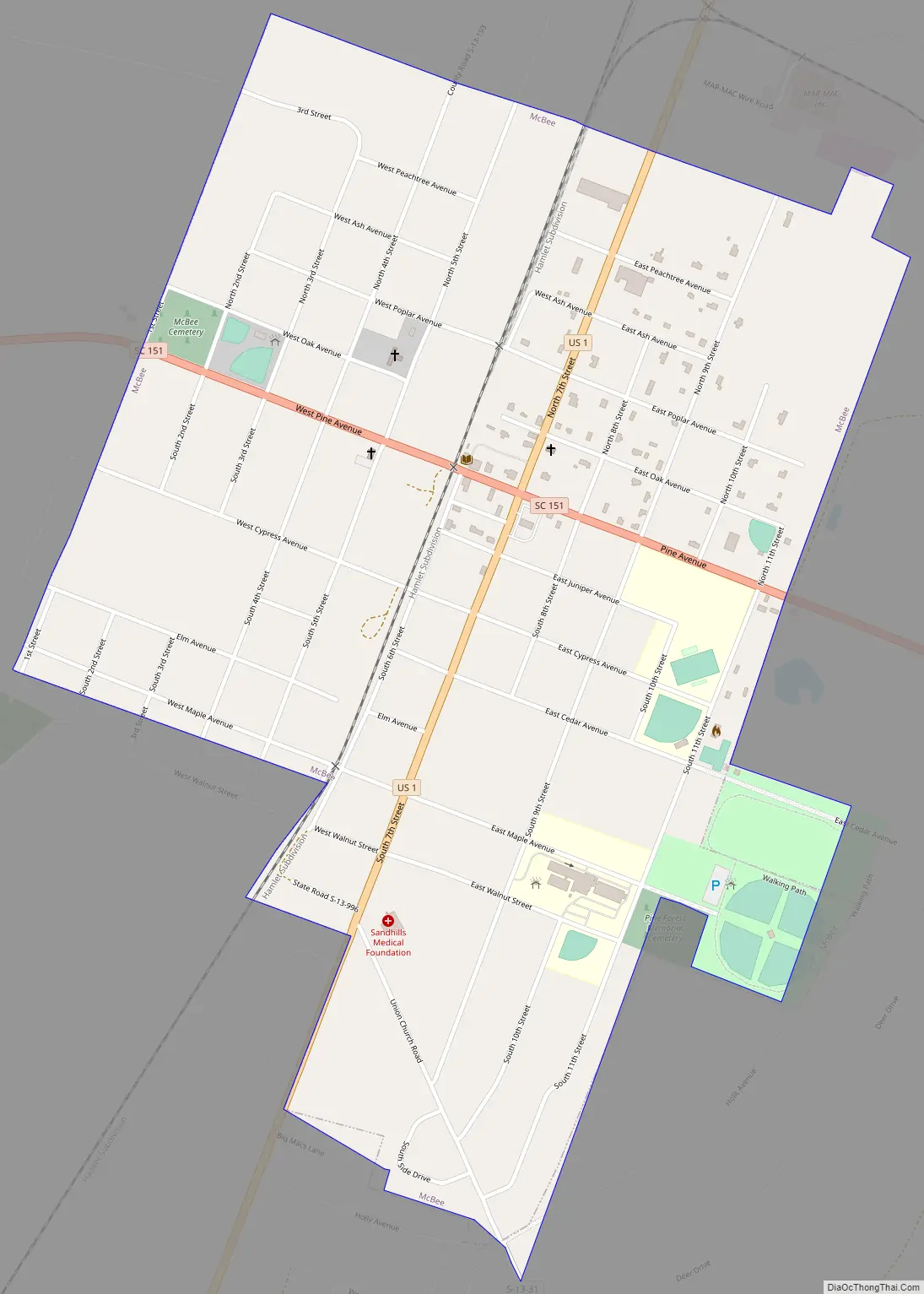
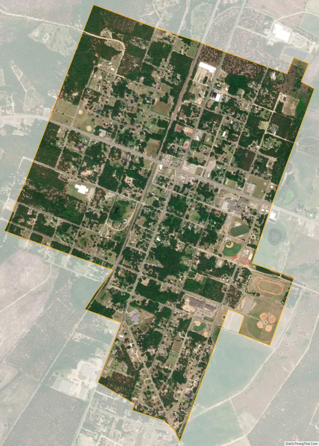
McBee city Satellite Map
Geography
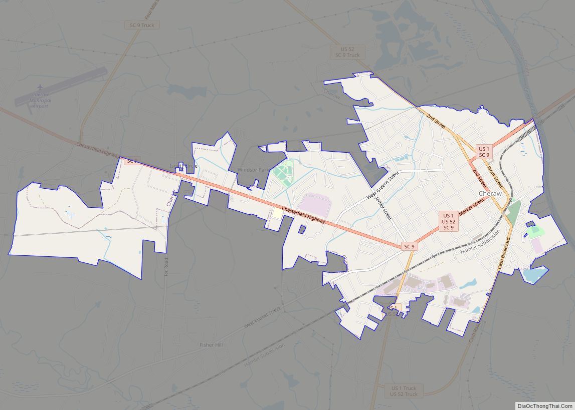
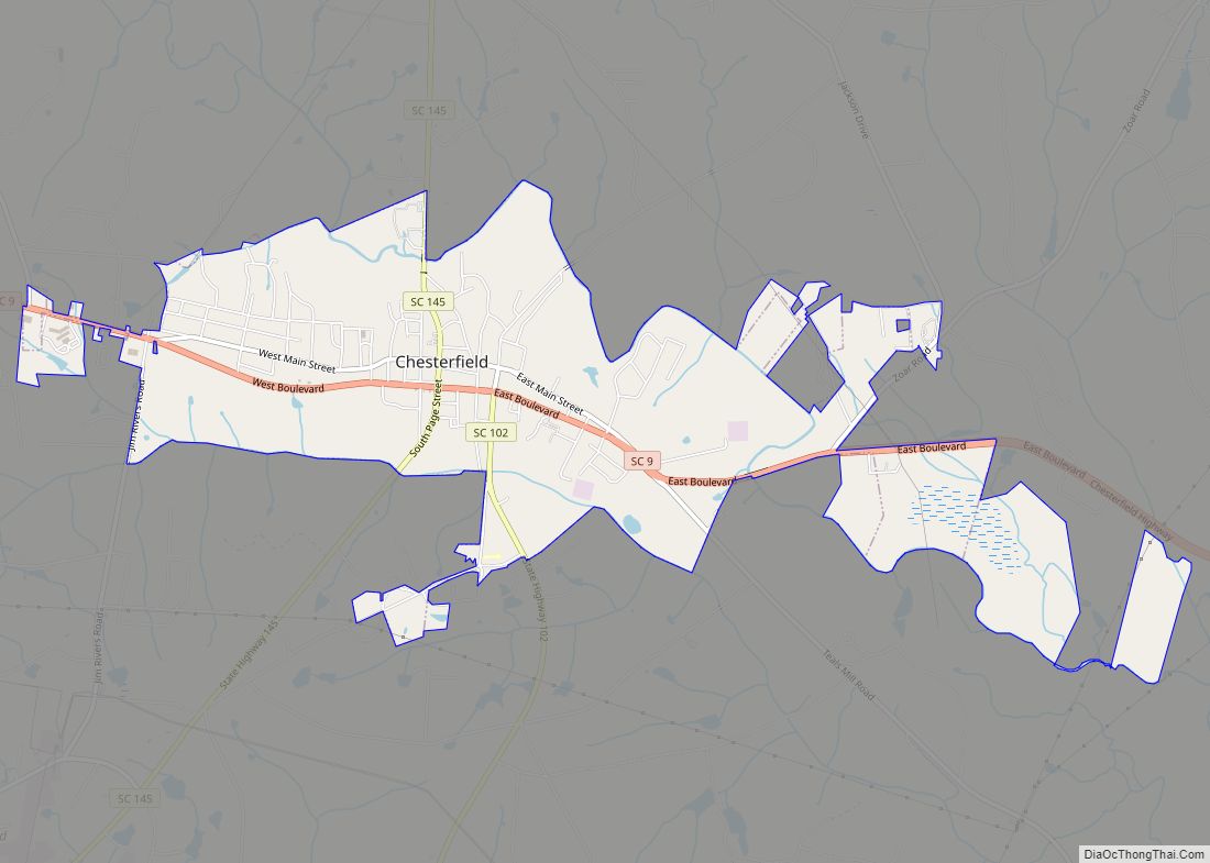
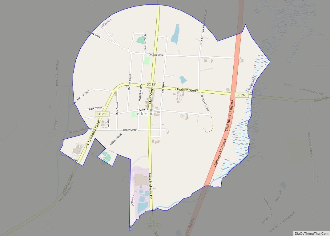
McBee is located in southwestern Chesterfield County at 34°28′4″N 80°15′29″W / 34.46778°N 80.25806°W / 34.46778; -80.25806 (34.467803, −80.258075), in the Sandhills region of the Carolinas. U.S. Route 1 passes through the center of town, leading southwest 27 miles (43 km) to Camden and northeast 28 miles (45 km) to Cheraw. South Carolina Highway 151 crosses US 1 in the center of town, leading northwest 16 miles (26 km) to Jefferson and southeast 14 miles (23 km) to Hartsville. South Carolina Highway 145 splits off from US 1 just north of McBee and leads 25 miles (40 km) northeast to Chesterfield, the county seat.
According to the United States Census Bureau, McBee has a total area of 1.3 square miles (3.3 km), all land.
McBee has a humid subtropical climate, characterized by humid summers and cool dry winters. Precipitation does not vary greatly between seasons. July is the hottest month, with an average high temperature of below 91 °F and an average low temperature of around 69 °F.[6] The coldest month of the year is January, when the average high temperature is near 54 °F and the average low temperature is below 32 °F.[6] The warmest temperature ever recorded in the town was 106 °F.[7] The coldest temperature ever recorded in the town was -2 °F.[8] While McBee is near a coastal area, hurricanes are not a major concern, but are possible in this part of South Carolina.
See also
Map of South Carolina State and its subdivision:- Abbeville
- Aiken
- Allendale
- Anderson
- Bamberg
- Barnwell
- Beaufort
- Berkeley
- Calhoun
- Charleston
- Cherokee
- Chester
- Chesterfield
- Clarendon
- Colleton
- Darlington
- Dillon
- Dorchester
- Edgefield
- Fairfield
- Florence
- Georgetown
- Greenville
- Greenwood
- Hampton
- Horry
- Jasper
- Kershaw
- Lancaster
- Laurens
- Lee
- Lexington
- Marion
- Marlboro
- McCormick
- Newberry
- Oconee
- Orangeburg
- Pickens
- Richland
- Saluda
- Spartanburg
- Sumter
- Union
- Williamsburg
- York
- Alabama
- Alaska
- Arizona
- Arkansas
- California
- Colorado
- Connecticut
- Delaware
- District of Columbia
- Florida
- Georgia
- Hawaii
- Idaho
- Illinois
- Indiana
- Iowa
- Kansas
- Kentucky
- Louisiana
- Maine
- Maryland
- Massachusetts
- Michigan
- Minnesota
- Mississippi
- Missouri
- Montana
- Nebraska
- Nevada
- New Hampshire
- New Jersey
- New Mexico
- New York
- North Carolina
- North Dakota
- Ohio
- Oklahoma
- Oregon
- Pennsylvania
- Rhode Island
- South Carolina
- South Dakota
- Tennessee
- Texas
- Utah
- Vermont
- Virginia
- Washington
- West Virginia
- Wisconsin
- Wyoming