Pelzer is a town in Anderson County in South Carolina, United States, along the Saluda River. The population was 89 at the 2010 census, and grew to 1,344 at the 2020 census.
| Name: | Pelzer town |
|---|---|
| LSAD Code: | 43 |
| LSAD Description: | town (suffix) |
| State: | South Carolina |
| County: | Anderson County |
| Elevation: | 742 ft (229 m) |
| Total Area: | 0.97 sq mi (2.52 km²) |
| Land Area: | 0.91 sq mi (2.37 km²) |
| Water Area: | 0.06 sq mi (0.15 km²) |
| Total Population: | 1,344 |
| Population Density: | 1,470.46/sq mi (567.81/km²) |
| ZIP code: | 29669 |
| Area code: | 864 |
| FIPS code: | 4555465 |
| GNISfeature ID: | 1231641 |
| Website: | www.townofpelzer.us |
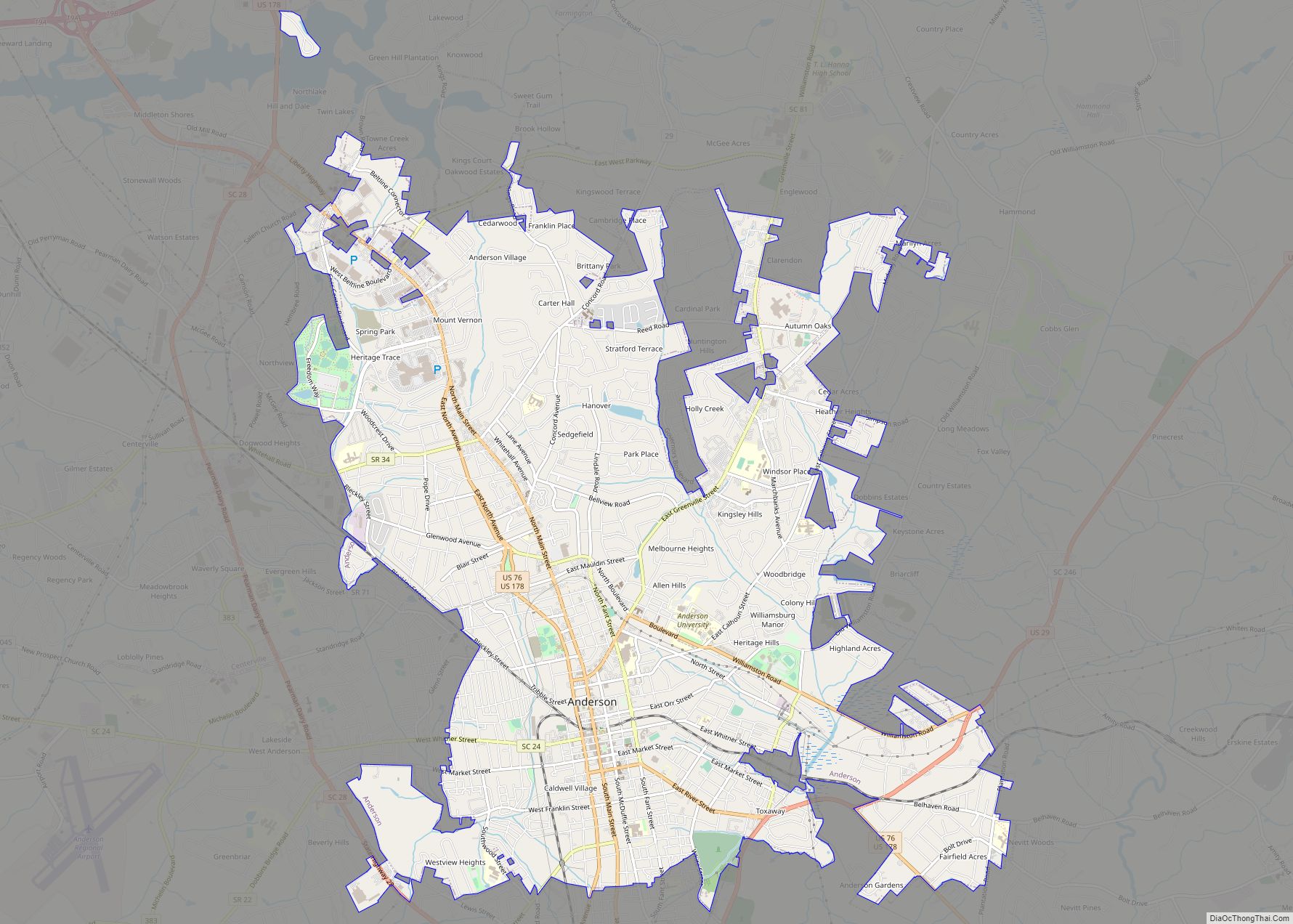
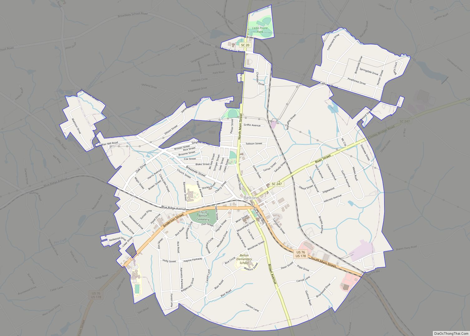
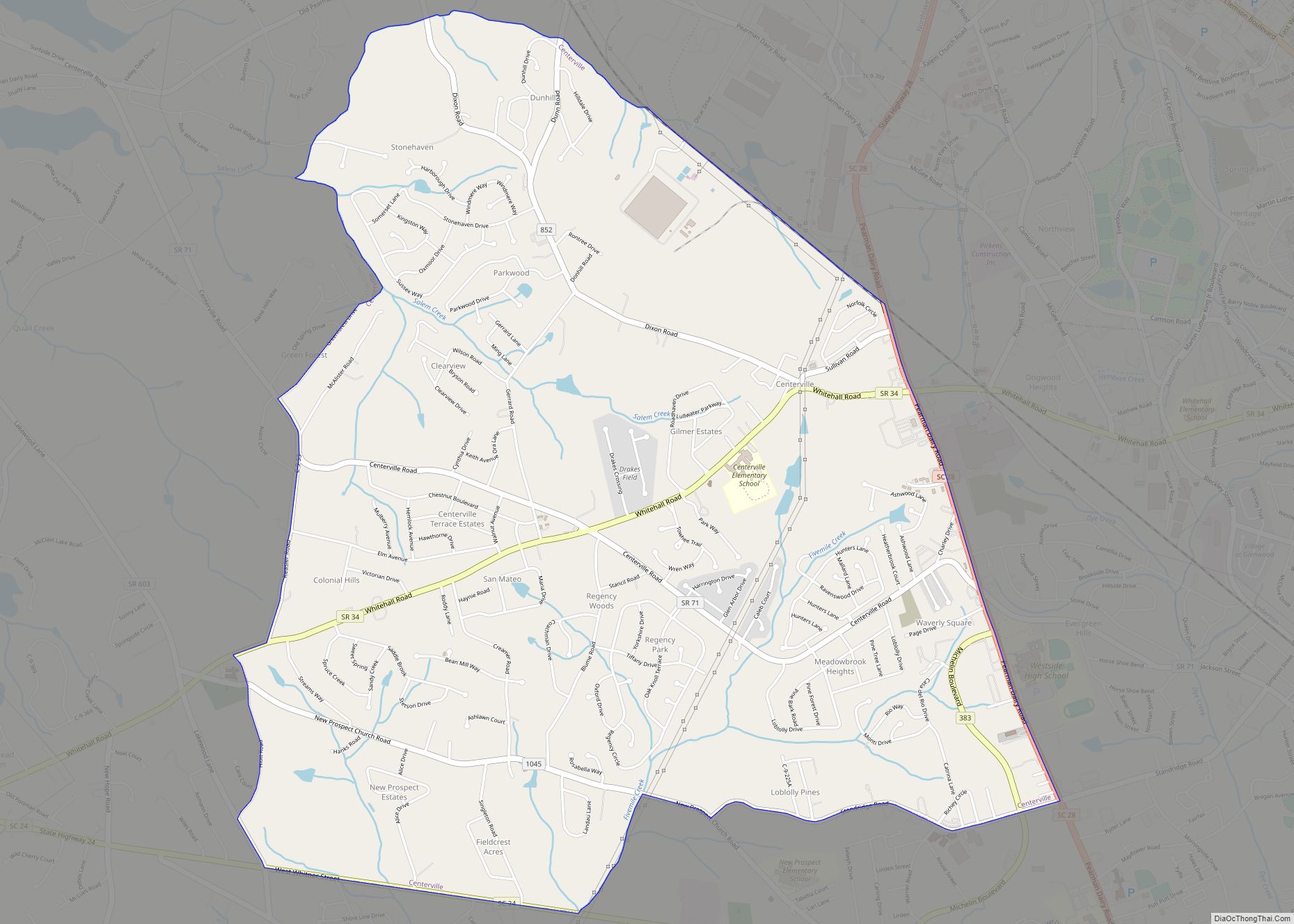
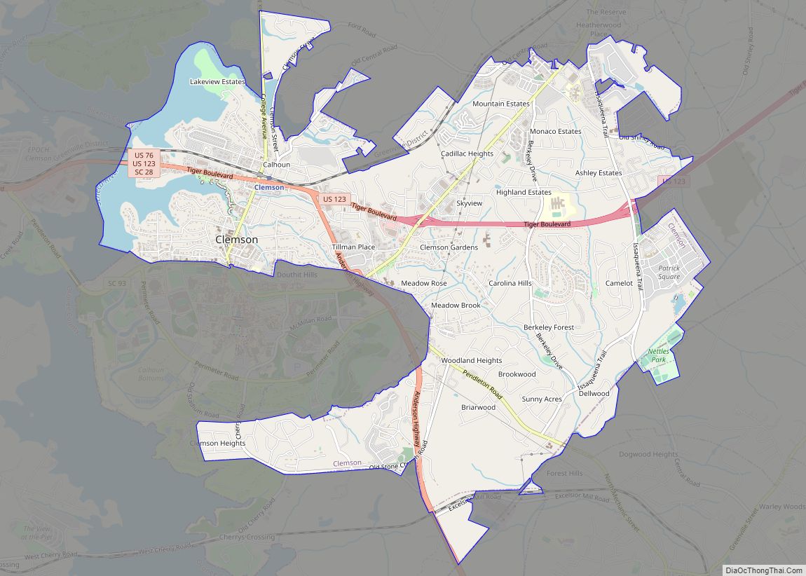
Online Interactive Map
Click on ![]() to view map in "full screen" mode.
to view map in "full screen" mode.
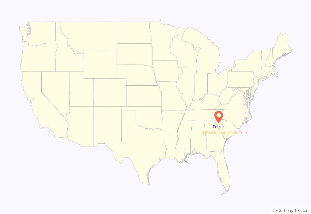
Pelzer location map. Where is Pelzer town?
History
Pelzer was founded in the 19th century as a mill town around several mill sites (the Lower Mill and the Upper Mill) on the Saluda River developed by the Pelzer Manufacturing Company. The first (lower) mill was completed in 1882; two additional expansions were referred to as mills 2 and 3, with construction of the 4th mill (the upper mill) starting in 1896. Pelzer Manufacturing drew power from two dams built along the Saluda River, which generated power with the help of the first generators ever sold by General Electric. The factory was the first in the country to use incandescent lighting.
The company and town were named for Francis J. Pelzer, who surveyed sites along the river and laid out the town and was along with William Lebby and Ellison A. Smyth one of the founders of Pelzer Manufacturing. The first president and treasurer of the company was Ellison Adger Smyth, who held the corporate titles for 43 years. When Smyth decided to build the fourth mill, he initially selected a site four miles downriver from the town along a shoal, necessitating construction of a new mill town. Eventually, however, Smyth decided to build a new mill at Pelzer and began construction at the Upper Mill site, with power generation coming from the downstream shoals and dam. This was the first instance of a mill in South Carolina not built immediately adjacent to its power generation facility; Smyth contracted General Electric to build the power lines between the new dam and the existing town, a first in the industry that many competitors argued was doomed to fail. Smyth allowed GE to use the new Upper Mill as a testing ground for new electric generators and motors, which initially cost Pelzer Manufacturing money and made the new mill a money loser for several years, though it did become profitable in time.
All four mills were designed and built by the architecture firm Lockwood, Greene & Co. Pelzer Manufacturing was sold in 1923 and the mills changed hands several times. The final functional owner was Gerber Products Company, which bought the mills in 1986 and made Onesies and other childrenswear until 1990, when the company ceased operations at Pelzer and moved all clothing manufacturing overseas. The mill properties were bought by Greenlight Enterprises, which destroyed the upper mill in 2004; the lower mill burned in 2012 and 2014. In 2013, the Pelzer Heritage Commission bought both mill sites.
In the mill town, the mill managers’ homes were laid out along what was the town’s main street (Lebby St.), which eventually became South Carolina Highway 8. When the town was initially incorporated, only the main street and adjacent properties were included, so that the management of the mill would retain control of the town; the milltown itself occupied substantially more area than the incorporated town. In 2015 area residents voted to incorporate substantial additional property into the town limits.
The Pelzer Presbyterian Church was listed on the National Register of Historic Places in 1993.
Community of Pelzer Historical Society was founded in 2008. Ms. Beth Rostron, Founder, President, Treasurer
At least one of the “Dare Stones” purported to tell the story of the lost colonists of Roanoke was found on a hillside across the Saluda River from the town of Pelzer. This stone found in Pelzer has not been proven to be authentic.
Pelzer Road Map
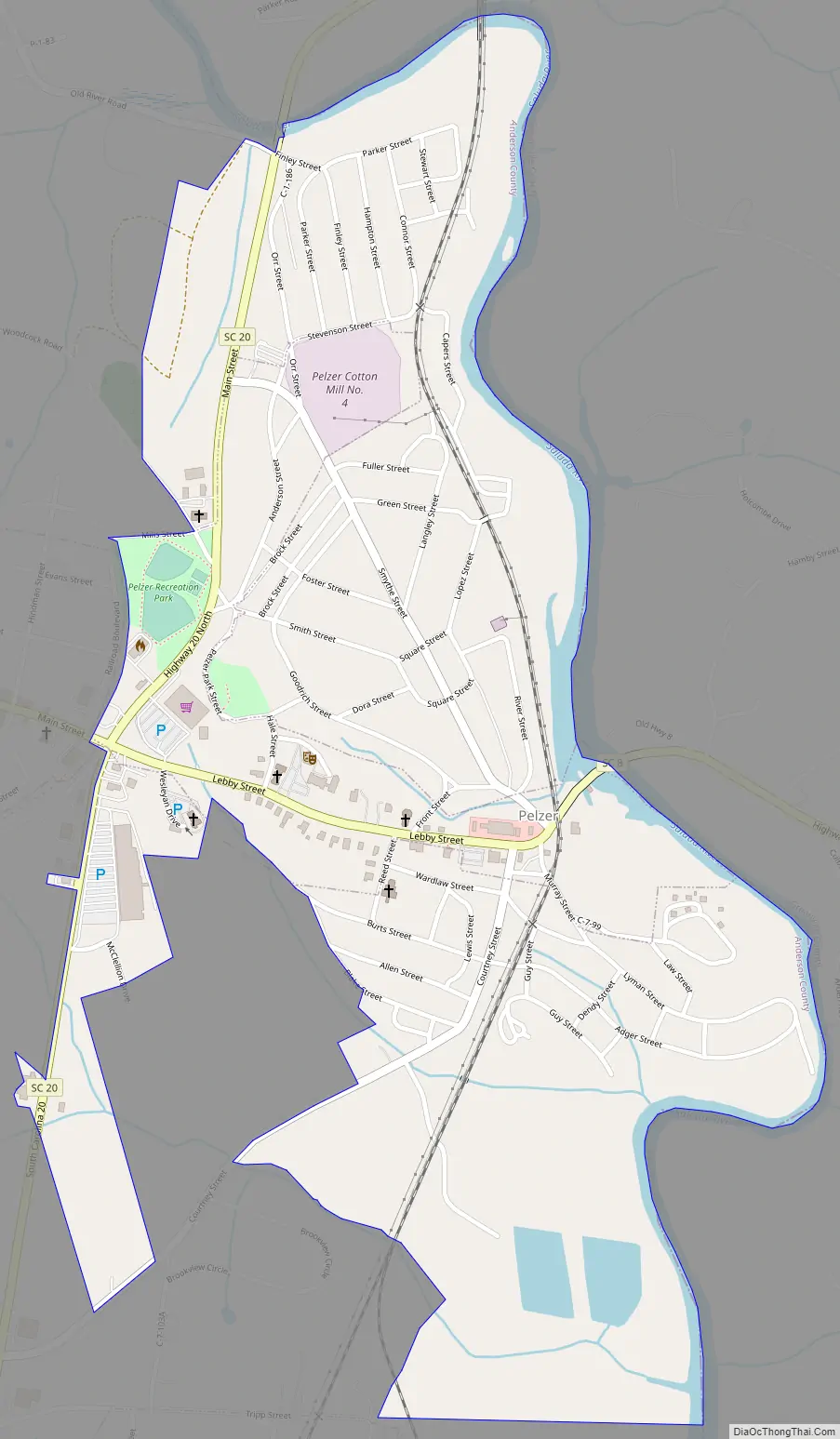
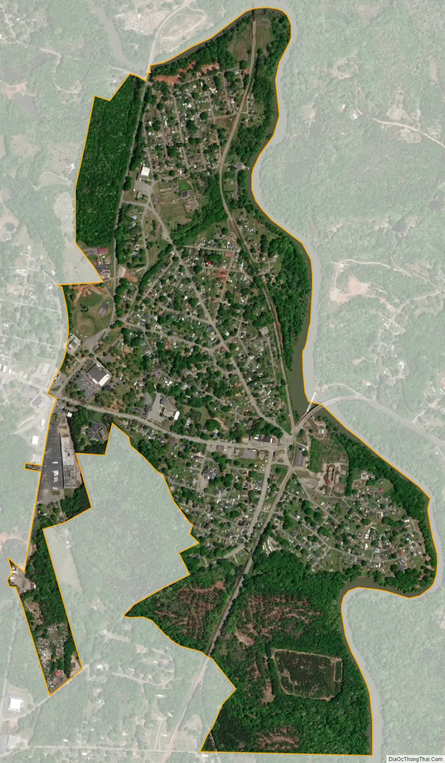
Pelzer city Satellite Map
Geography
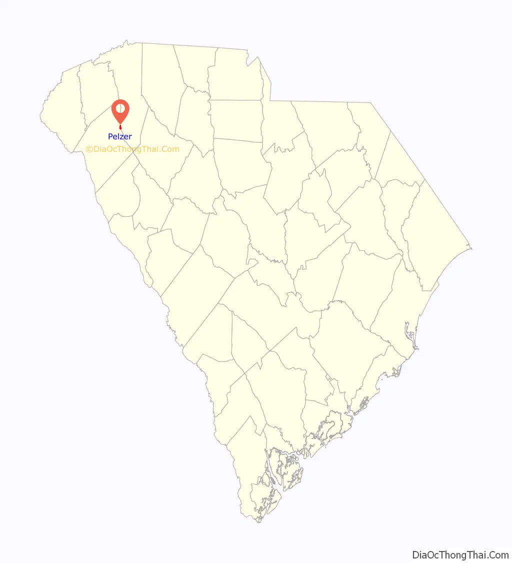
Pelzer is located in Anderson County, beside the Saluda River. On the town’s western border is the town of West Pelzer, and the town of Williamston is 2 miles (3 km) to the south. Anderson, the county seat, is 17 miles (27 km) to the southwest, and the center of Greenville is 17 miles (27 km) to the north.
According to the United States Census Bureau, the town has a total area of 0.19 square miles (0.5 km), all land.
See also
Map of South Carolina State and its subdivision:- Abbeville
- Aiken
- Allendale
- Anderson
- Bamberg
- Barnwell
- Beaufort
- Berkeley
- Calhoun
- Charleston
- Cherokee
- Chester
- Chesterfield
- Clarendon
- Colleton
- Darlington
- Dillon
- Dorchester
- Edgefield
- Fairfield
- Florence
- Georgetown
- Greenville
- Greenwood
- Hampton
- Horry
- Jasper
- Kershaw
- Lancaster
- Laurens
- Lee
- Lexington
- Marion
- Marlboro
- McCormick
- Newberry
- Oconee
- Orangeburg
- Pickens
- Richland
- Saluda
- Spartanburg
- Sumter
- Union
- Williamsburg
- York
- Alabama
- Alaska
- Arizona
- Arkansas
- California
- Colorado
- Connecticut
- Delaware
- District of Columbia
- Florida
- Georgia
- Hawaii
- Idaho
- Illinois
- Indiana
- Iowa
- Kansas
- Kentucky
- Louisiana
- Maine
- Maryland
- Massachusetts
- Michigan
- Minnesota
- Mississippi
- Missouri
- Montana
- Nebraska
- Nevada
- New Hampshire
- New Jersey
- New Mexico
- New York
- North Carolina
- North Dakota
- Ohio
- Oklahoma
- Oregon
- Pennsylvania
- Rhode Island
- South Carolina
- South Dakota
- Tennessee
- Texas
- Utah
- Vermont
- Virginia
- Washington
- West Virginia
- Wisconsin
- Wyoming