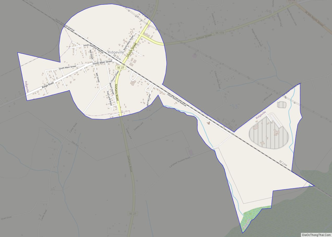
Ridgeville is a town in Dorchester County, South Carolina, United States. The population was 1,979 at the 2010 census, up from 1,690 at the 2000 census. Ridgeville is part of the Charleston-North Charleston-Summerville metropolitan area.
| Name: | Ridgeville town |
|---|---|
| LSAD Code: | 43 |
| LSAD Description: | town (suffix) |
| State: | South Carolina |
| County: | Dorchester County |
| Elevation: | 75 ft (23 m) |
| Total Area: | 1.80 sq mi (4.65 km²) |
| Land Area: | 1.80 sq mi (4.65 km²) |
| Water Area: | 0.00 sq mi (0.00 km²) |
| Total Population: | 1,672 |
| Population Density: | 930.96/sq mi (359.40/km²) |
| ZIP code: | 29472 |
| Area code: | 843, 854 |
| FIPS code: | 4560370 |
| GNISfeature ID: | 1250386 |
| Website: | ridgevillegov.com |
Online Interactive Map
Click on ![]() to view map in "full screen" mode.
to view map in "full screen" mode.
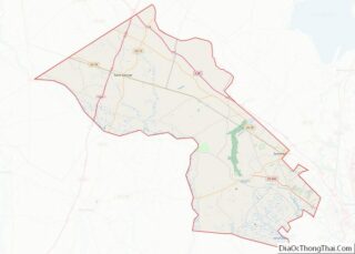
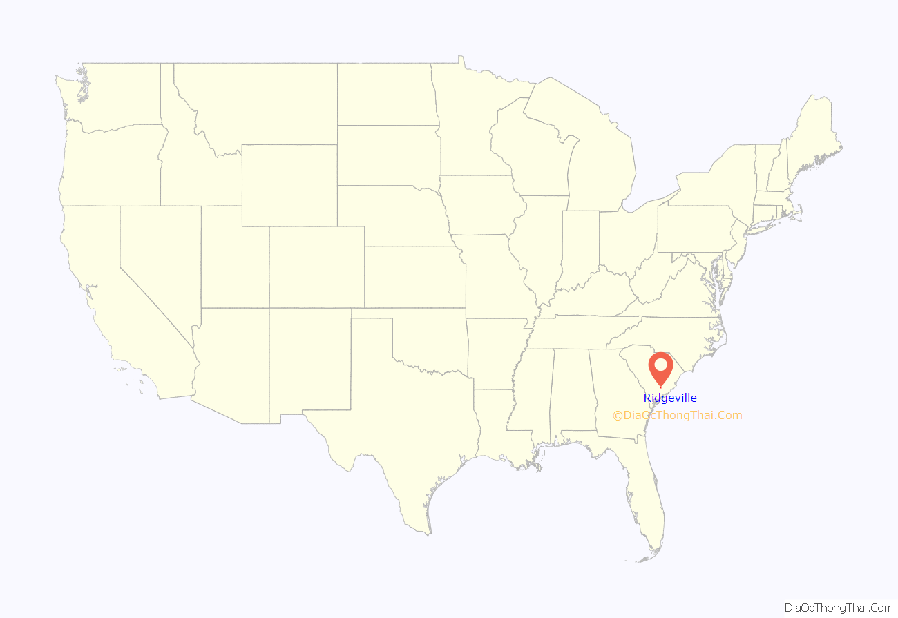
Ridgeville location map. Where is Ridgeville town?
History
The Cypress Methodist Camp Ground was added to the National Register of Historic Places in 1978.
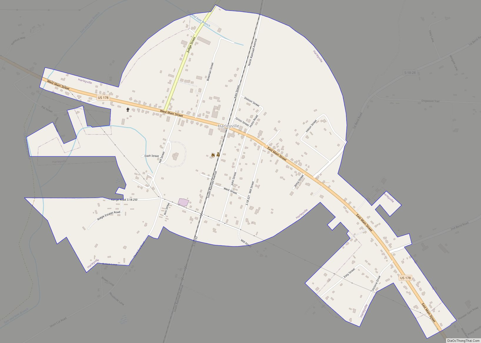
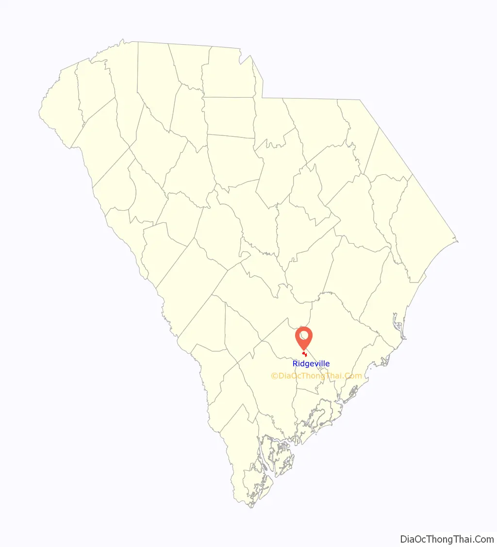
Ridgeville Road Map

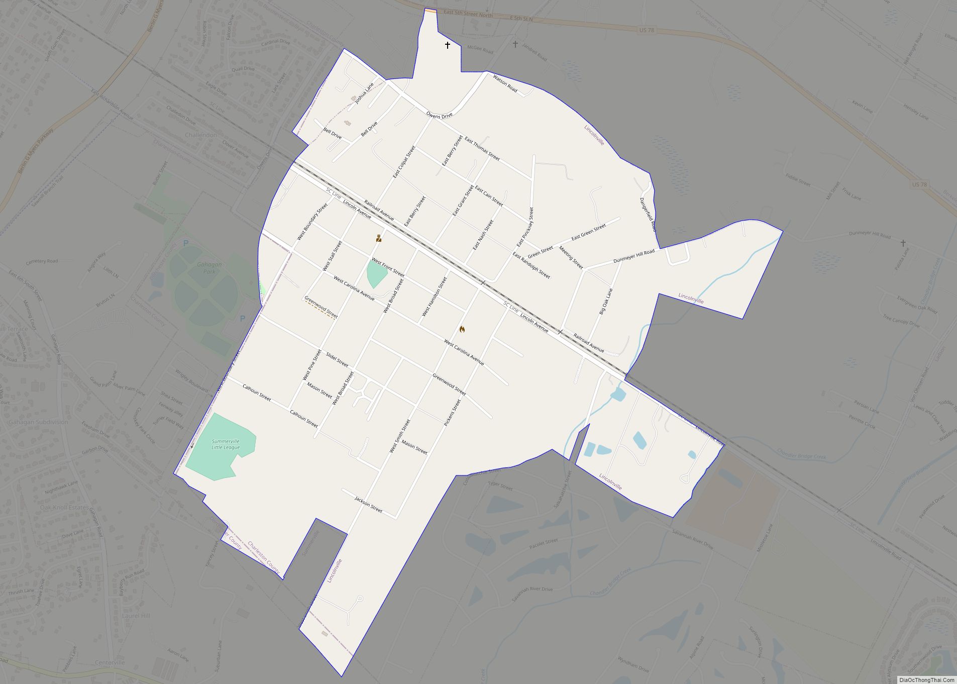
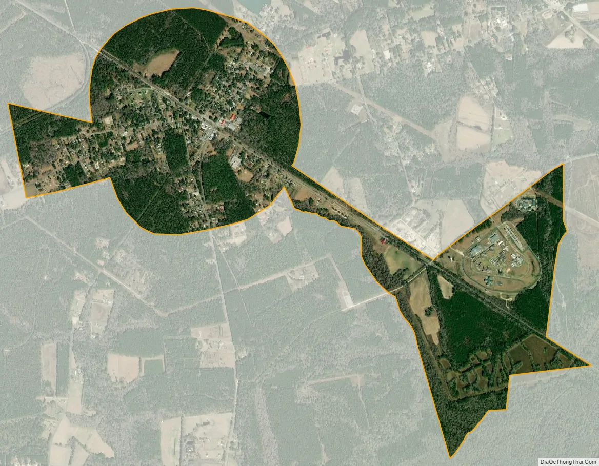
Ridgeville city Satellite Map
Geography
Ridgeville is located near the center of Dorchester County at 33°5.6′N 80°18.8′W / 33.0933°N 80.3133°W / 33.0933; -80.3133 (33.0931, -80.3124). South Carolina Highway 27 passes through the town, leading north 1.7 miles (2.7 km) to U.S. Route 78 and 3.2 miles (5.1 km) to Exit 187 on Interstate 26.
According to the United States Census Bureau, the town has a total area of 1.8 square miles (4.7 km), all of it land. The town limits extend east to include Lieber Correctional Institution, run by the South Carolina Department of Corrections.
See also
Map of South Carolina State and its subdivision:- Abbeville
- Aiken
- Allendale
- Anderson
- Bamberg
- Barnwell
- Beaufort
- Berkeley
- Calhoun
- Charleston
- Cherokee
- Chester
- Chesterfield
- Clarendon
- Colleton
- Darlington
- Dillon
- Dorchester
- Edgefield
- Fairfield
- Florence
- Georgetown
- Greenville
- Greenwood
- Hampton
- Horry
- Jasper
- Kershaw
- Lancaster
- Laurens
- Lee
- Lexington
- Marion
- Marlboro
- McCormick
- Newberry
- Oconee
- Orangeburg
- Pickens
- Richland
- Saluda
- Spartanburg
- Sumter
- Union
- Williamsburg
- York
- Alabama
- Alaska
- Arizona
- Arkansas
- California
- Colorado
- Connecticut
- Delaware
- District of Columbia
- Florida
- Georgia
- Hawaii
- Idaho
- Illinois
- Indiana
- Iowa
- Kansas
- Kentucky
- Louisiana
- Maine
- Maryland
- Massachusetts
- Michigan
- Minnesota
- Mississippi
- Missouri
- Montana
- Nebraska
- Nevada
- New Hampshire
- New Jersey
- New Mexico
- New York
- North Carolina
- North Dakota
- Ohio
- Oklahoma
- Oregon
- Pennsylvania
- Rhode Island
- South Carolina
- South Dakota
- Tennessee
- Texas
- Utah
- Vermont
- Virginia
- Washington
- West Virginia
- Wisconsin
- Wyoming