Lincolnville is a town in Charleston County, South Carolina, United States. A very small portion of the town extends into Dorchester County. The population was 1,139 at the 2010 census, up from 904 in 2000.
Lincolnville is part of the Charleston-North Charleston-Summerville metropolitan area.
| Name: | Lincolnville town |
|---|---|
| LSAD Code: | 43 |
| LSAD Description: | town (suffix) |
| State: | South Carolina |
| County: | Charleston County, Dorchester County |
| Elevation: | 79 ft (24 m) |
| Total Area: | 1.20 sq mi (3.12 km²) |
| Land Area: | 1.20 sq mi (3.12 km²) |
| Water Area: | 0.00 sq mi (0.00 km²) |
| Total Population: | 1,147 |
| Population Density: | 952.66/sq mi (367.96/km²) |
| ZIP code: | 29485 |
| Area code: | 843 and 854 |
| FIPS code: | 4541740 |
| GNISfeature ID: | 1231482 |
Online Interactive Map
Click on ![]() to view map in "full screen" mode.
to view map in "full screen" mode.
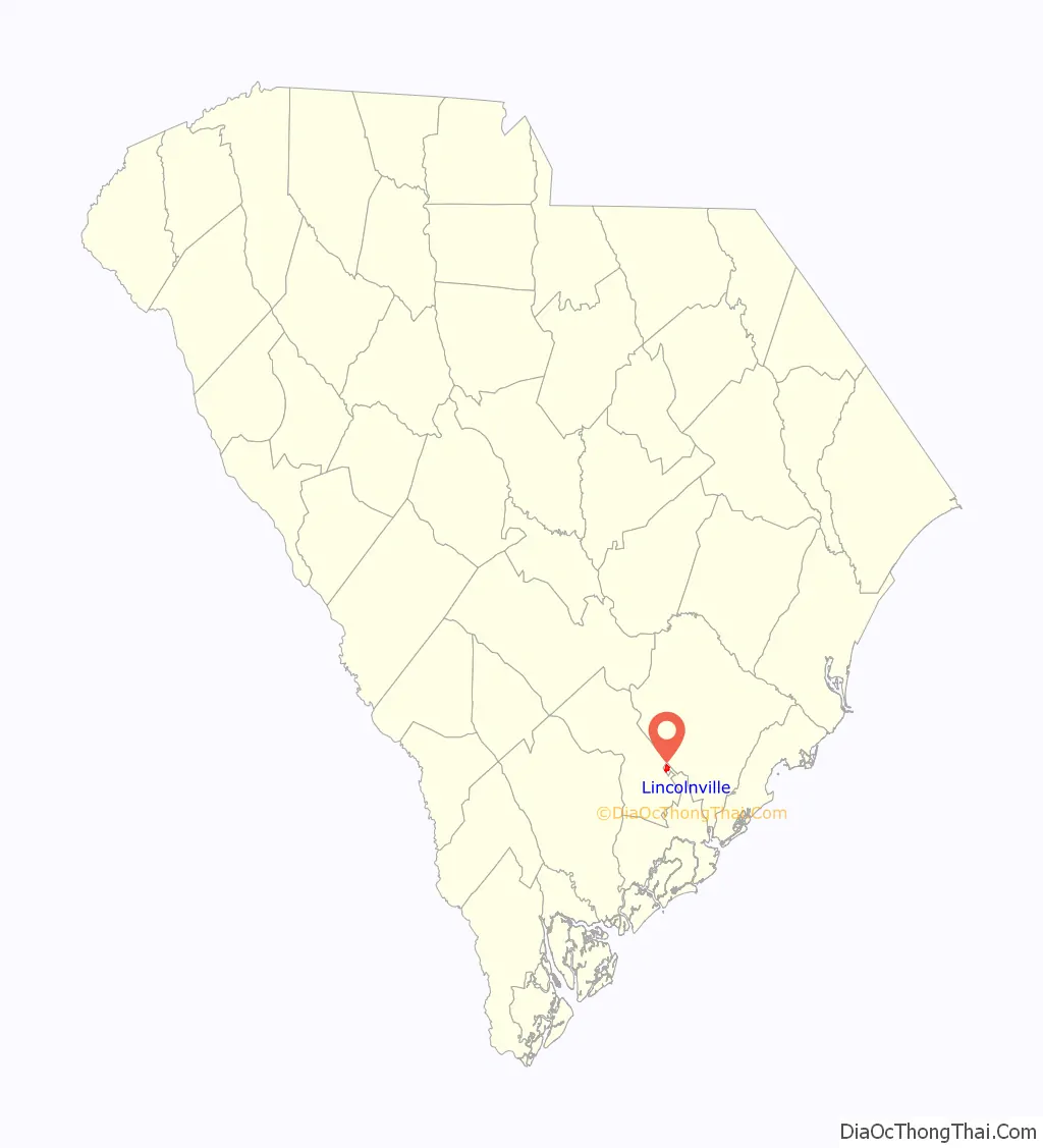
Lincolnville location map. Where is Lincolnville town?

History
Lincolnville was founded in 1867 by seven African-American men, including Reverend Richard Harvey Cain, Daniel Adger, Marc Buffett, Reverend Lewis Ruffin Nichols, Hector Grant, Reverend M.B. Salters and Walter Steele, who left their former home of Charleston to escape the racial discrimination they felt subject to in that environment. Amos Williams joined them as a signer of Lincolnville’s original charter. Riding the local South Carolina Special train to examine properties for sale by the South Carolina Railroad Company, the men settled on this area that was then known as “Pump Pond” for its use as a train stopping point for water, wood and coal. The men signed a contract with the railroad company to purchase 620 acres (2.5 km) for $1,000.
After paying the agreed amount in full, a charter for establishment of the town was applied for and later received on December 14, 1889. The name “Lincolnville” was given to the settlement in honor of Abraham Lincoln.
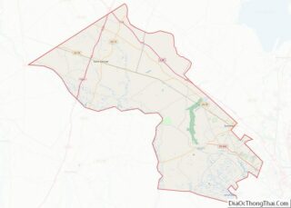
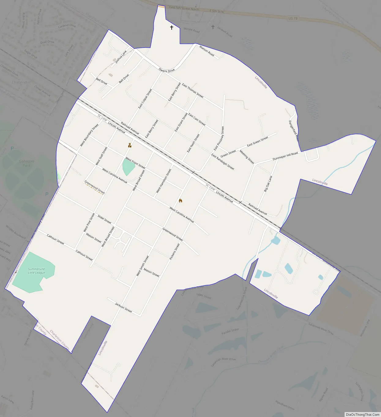
Lincolnville Road Map
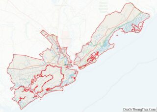
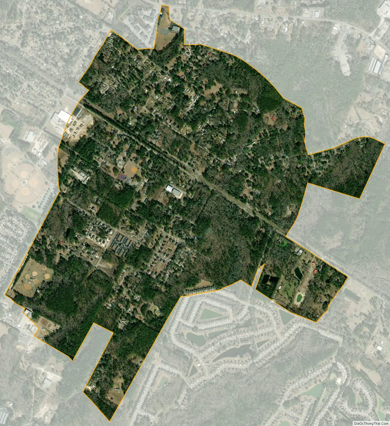
Lincolnville city Satellite Map
Geography
Lincolnville is located at 33°0′31″N 80°9′28″W / 33.00861°N 80.15778°W / 33.00861; -80.15778 (33.008579, -80.157737). It is bordered by the town of Summerville to the north, west, and south. Lincoln Avenue is the main street through the town, leading northwest towards the center of Summerville and southeast into Ladson. Downtown Charleston is 23 miles (37 km) to the southeast.
According to the United States Census Bureau, Lincolnville has a total area of 1.2 square miles (3.1 km), all land.
See also
Map of South Carolina State and its subdivision:- Abbeville
- Aiken
- Allendale
- Anderson
- Bamberg
- Barnwell
- Beaufort
- Berkeley
- Calhoun
- Charleston
- Cherokee
- Chester
- Chesterfield
- Clarendon
- Colleton
- Darlington
- Dillon
- Dorchester
- Edgefield
- Fairfield
- Florence
- Georgetown
- Greenville
- Greenwood
- Hampton
- Horry
- Jasper
- Kershaw
- Lancaster
- Laurens
- Lee
- Lexington
- Marion
- Marlboro
- McCormick
- Newberry
- Oconee
- Orangeburg
- Pickens
- Richland
- Saluda
- Spartanburg
- Sumter
- Union
- Williamsburg
- York
- Alabama
- Alaska
- Arizona
- Arkansas
- California
- Colorado
- Connecticut
- Delaware
- District of Columbia
- Florida
- Georgia
- Hawaii
- Idaho
- Illinois
- Indiana
- Iowa
- Kansas
- Kentucky
- Louisiana
- Maine
- Maryland
- Massachusetts
- Michigan
- Minnesota
- Mississippi
- Missouri
- Montana
- Nebraska
- Nevada
- New Hampshire
- New Jersey
- New Mexico
- New York
- North Carolina
- North Dakota
- Ohio
- Oklahoma
- Oregon
- Pennsylvania
- Rhode Island
- South Carolina
- South Dakota
- Tennessee
- Texas
- Utah
- Vermont
- Virginia
- Washington
- West Virginia
- Wisconsin
- Wyoming