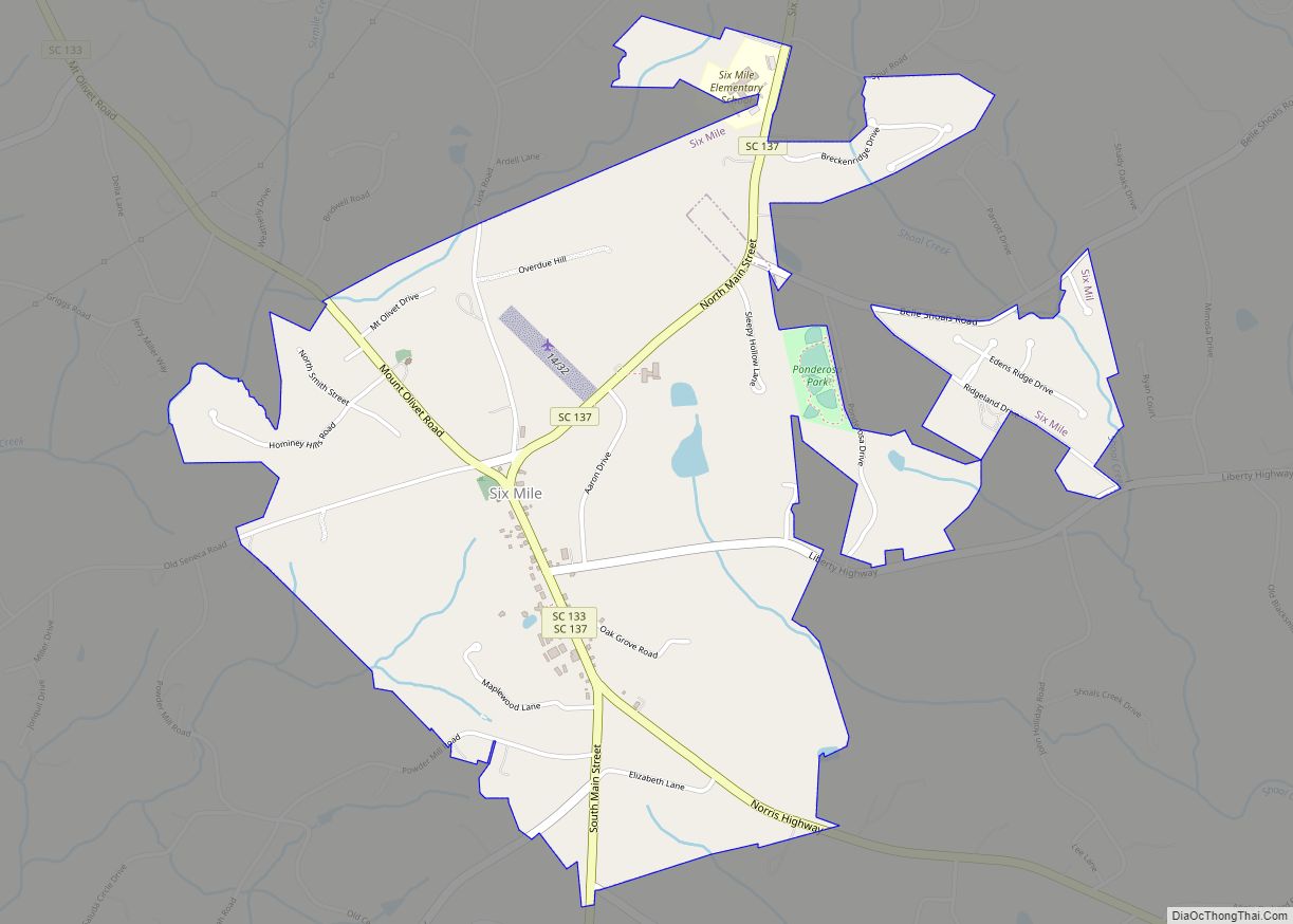
Six Mile is a town in Pickens County, South Carolina, United States. The 2010 census showed a population of 675, representing a 21% increase since 2000. The 2020 census showed a population of 678 representing a 0.30% increase since 2010. The average household income in Six Mile is $82,828 with a poverty rate at 6.54%. The median rental costs in recent years is $618 per month, and the median house value is $258,700
Six Mile was named “Six Mile” because it was located six miles from Fort Prince George. Many other landmarks in this area were named by their distance from Fort Prince George such as 12 Mile River, 18 Mile Creek, and Ninety Six.
| Name: | Six Mile town |
|---|---|
| LSAD Code: | 43 |
| LSAD Description: | town (suffix) |
| State: | South Carolina |
| County: | Pickens County |
| Elevation: | 1,024 ft (312 m) |
| Total Area: | 2.05 sq mi (5.31 km²) |
| Land Area: | 2.04 sq mi (5.28 km²) |
| Water Area: | 0.01 sq mi (0.03 km²) |
| Total Population: | 759 |
| Population Density: | 372.42/sq mi (143.81/km²) |
| ZIP code: | 29682 |
| Area code: | 864 |
| FIPS code: | 4566760 |
| GNISfeature ID: | 1226654 |
| Website: | www.sixmilesc.org |
Online Interactive Map
Click on ![]() to view map in "full screen" mode.
to view map in "full screen" mode.
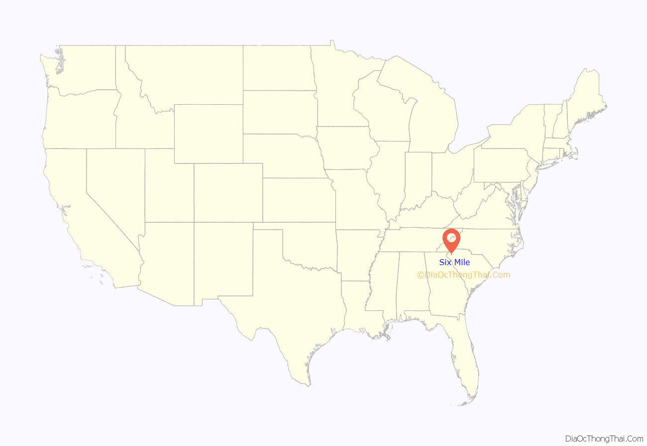
Six Mile location map. Where is Six Mile town?
Six Mile Road Map
Six Mile city Satellite Map
Geography
Six Mile is located at 34°48′7″N 82°49′4″W / 34.80194°N 82.81778°W / 34.80194; -82.81778 (34.801983, −82.817857).
According to the United States Census Bureau, the town has a total area of 1.8 square miles (4.7 km), of which 1.8 square miles (4.7 km) is land and 0.55% is water.
See also
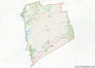
Map of South Carolina State and its subdivision:- Abbeville
- Aiken
- Allendale
- Anderson
- Bamberg
- Barnwell
- Beaufort
- Berkeley
- Calhoun
- Charleston
- Cherokee
- Chester
- Chesterfield
- Clarendon
- Colleton
- Darlington
- Dillon
- Dorchester
- Edgefield
- Fairfield
- Florence
- Georgetown
- Greenville
- Greenwood
- Hampton
- Horry
- Jasper
- Kershaw
- Lancaster
- Laurens
- Lee
- Lexington
- Marion
- Marlboro
- McCormick
- Newberry
- Oconee
- Orangeburg
- Pickens
- Richland
- Saluda
- Spartanburg
- Sumter
- Union
- Williamsburg
- York
- Alabama
- Alaska
- Arizona
- Arkansas
- California
- Colorado
- Connecticut
- Delaware
- District of Columbia
- Florida
- Georgia
- Hawaii
- Idaho
- Illinois
- Indiana
- Iowa
- Kansas
- Kentucky
- Louisiana
- Maine
- Maryland
- Massachusetts
- Michigan
- Minnesota
- Mississippi
- Missouri
- Montana
- Nebraska
- Nevada
- New Hampshire
- New Jersey
- New Mexico
- New York
- North Carolina
- North Dakota
- Ohio
- Oklahoma
- Oregon
- Pennsylvania
- Rhode Island
- South Carolina
- South Dakota
- Tennessee
- Texas
- Utah
- Vermont
- Virginia
- Washington
- West Virginia
- Wisconsin
- Wyoming
