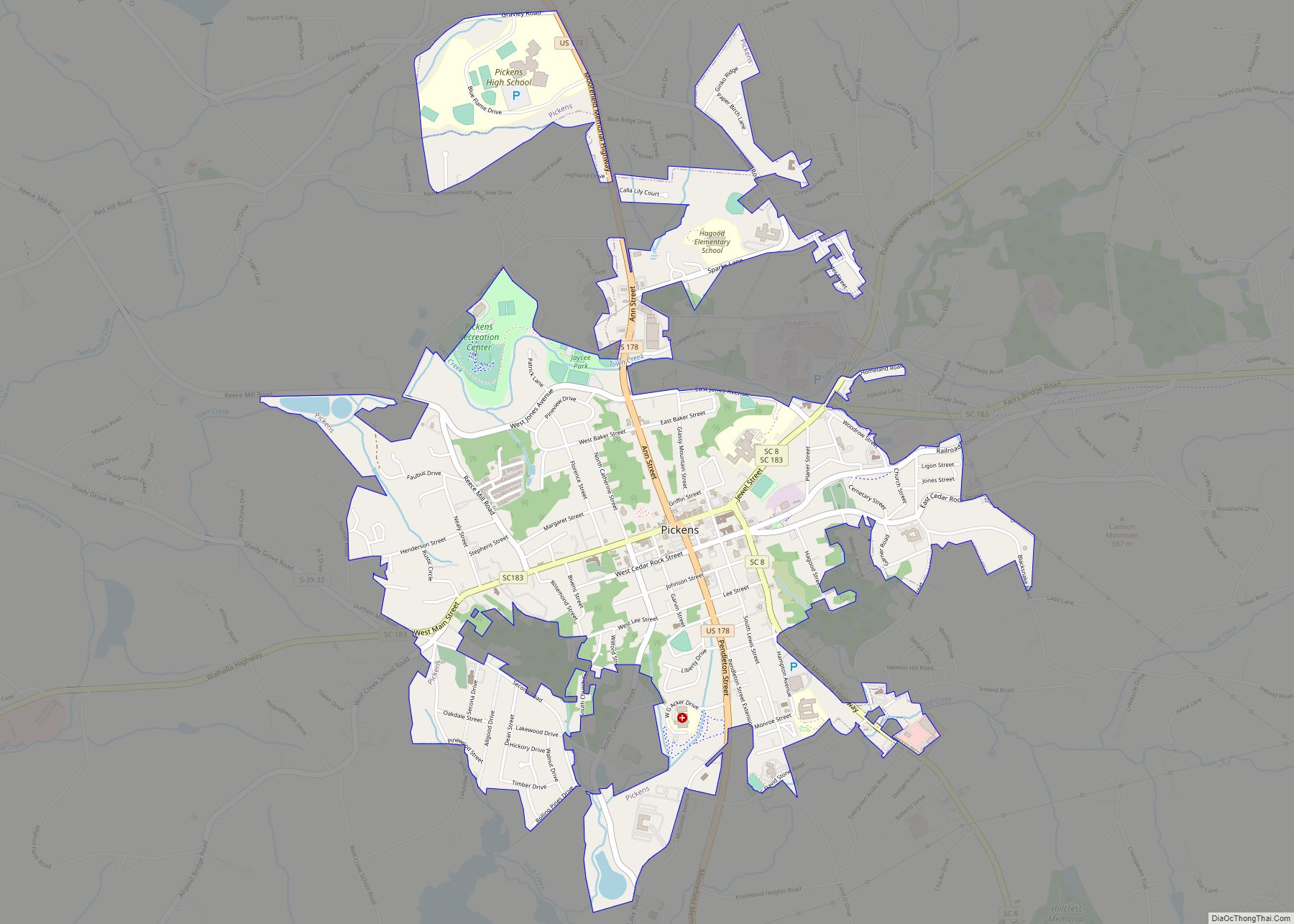
Pickens, formerly called Pickens Courthouse, is a city in Pickens County, South Carolina, United States. The population was 3,126 at the 2010 census. Pickens changed its classification from a town to a city in 1998, but it was not reported to the Census Bureau until 2001. It is the county seat of Pickens County. It was named after Andrew Pickens (1739–1817), an American revolutionary soldier and US Congressman for South Carolina.
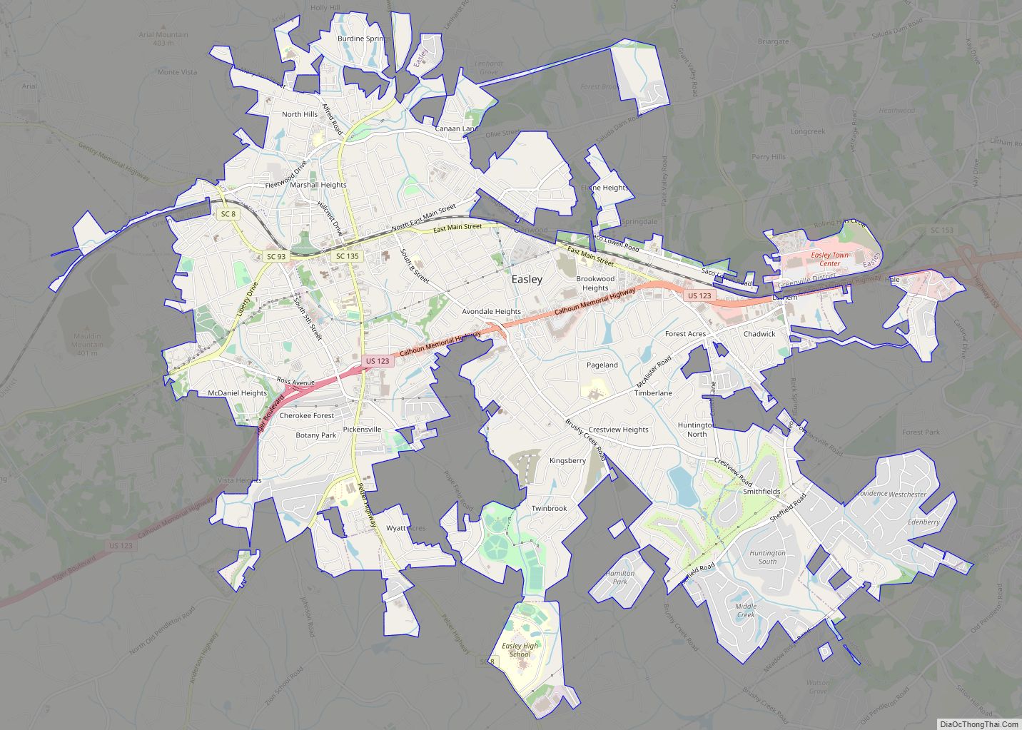
Pickens is part of the Greenville–Mauldin–Easley Metropolitan Statistical Area.
| Name: | Pickens city |
|---|---|
| LSAD Code: | 25 |
| LSAD Description: | city (suffix) |
| State: | South Carolina |
| County: | Pickens County |
| Elevation: | 1,109 ft (338 m) |
| Total Area: | 3.06 sq mi (7.93 km²) |
| Land Area: | 3.04 sq mi (7.87 km²) |
| Water Area: | 0.02 sq mi (0.06 km²) |
| Total Population: | 3,388 |
| Population Density: | 1,114.84/sq mi (430.43/km²) |
| ZIP code: | 29671 |
| Area code: | 864 |
| FIPS code: | 4556140 |
| GNISfeature ID: | 1250078 |
| Website: | www.cityofpickens.com |
Online Interactive Map
Click on ![]() to view map in "full screen" mode.
to view map in "full screen" mode.
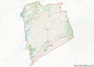
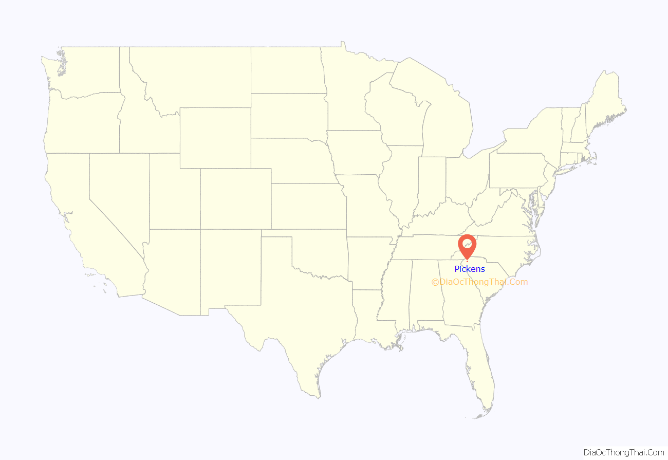
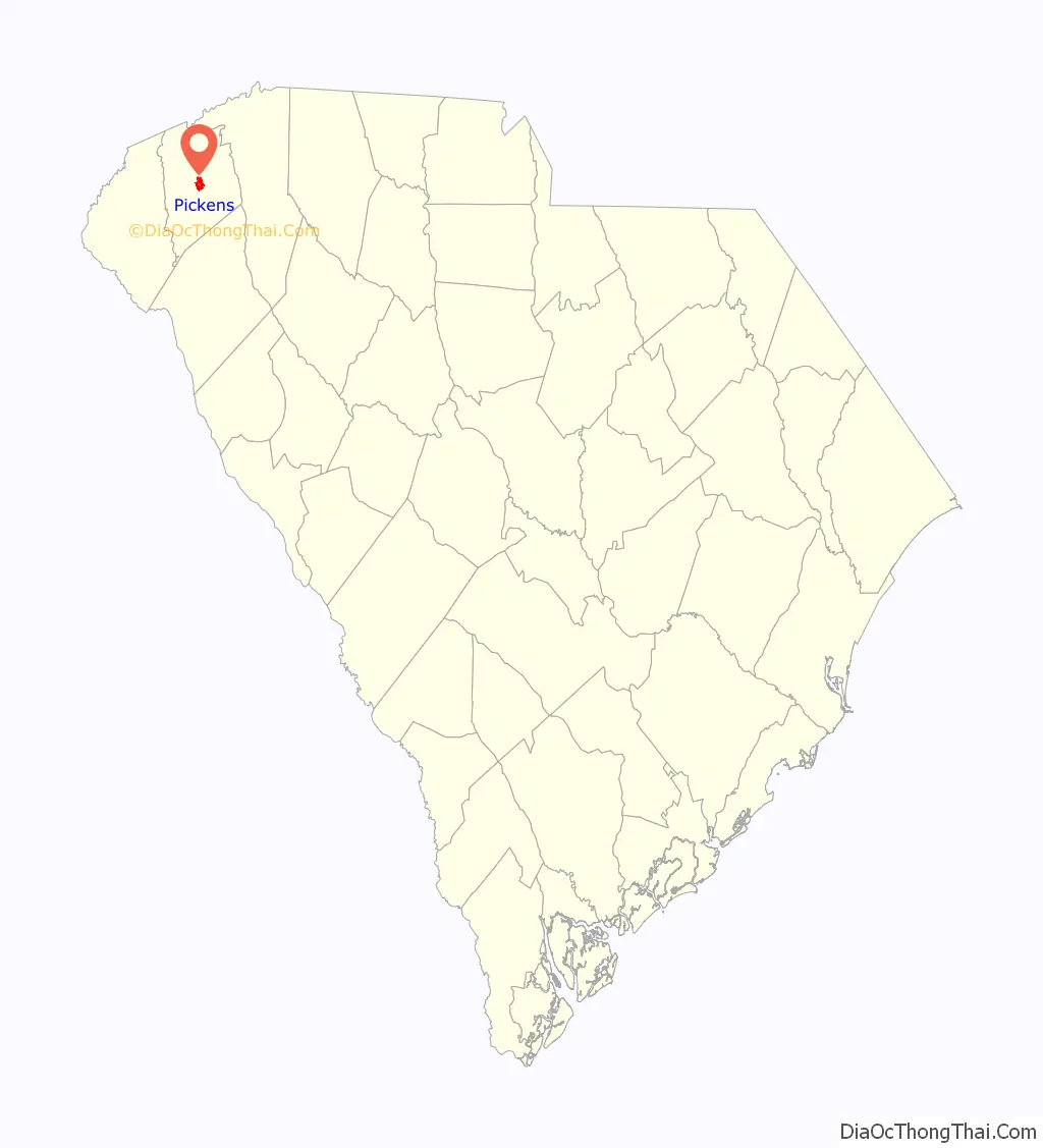
Pickens location map. Where is Pickens city?
History
Present-day Pickens of Pickens County was previously Cherokee Territory. During the American Revolutionary War, the Cherokee sided with the Kingdom of Great Britain. When Great Britain was defeated in the war, the Cherokee were forced to surrender their land. In 1791, the state legislature established Washington District that comprises present-day Greenville, Anderson, Oconee, and Pickens Counties. In 1798 Washington District was divided into Greenville and Pendleton districts. The Pendleton district eventually became Anderson, Oconee, and Pickens County. Pendleton District was divided in 1828 into Anderson and Pickens. A courthouse was established on the banks of the Keowee River where the town of Pickens Court House was developed. The Hagood-Mauldin House was built circa 1856 and is one of the historic structures of Pickens County. In 1868, the Pickens District was divided for a final time, into Pickens and Oconee counties. Pickens Court House relocated to its present-day site and was renamed to Pickens.
The Pickens Railway was established in 1898 as a shortline railroad from Easley to Pickens. From 1955 until 1987, Sangamo-Weston Inc. operated a capacitor manufacturing facility just outside Pickens. Until they were banned in the US, Sangamo discharged a significant amount of polychlorinated biphenyls (PCBs) into a tributary of the Twelve Mile River which feeds into Lake Hartwell. Sangamo also dumped contaminated waste in six locations in the vicinity of Pickens. In two of these locations, the waste was burned, forming more dangerous dioxins. According to the Spartanburg Herald-Journal, contamination was discovered at the “Breazeale site”, southwest of town. Schlumberger paid $11.8 million to federal and state agencies for injuries to natural resources caused by the contamination.
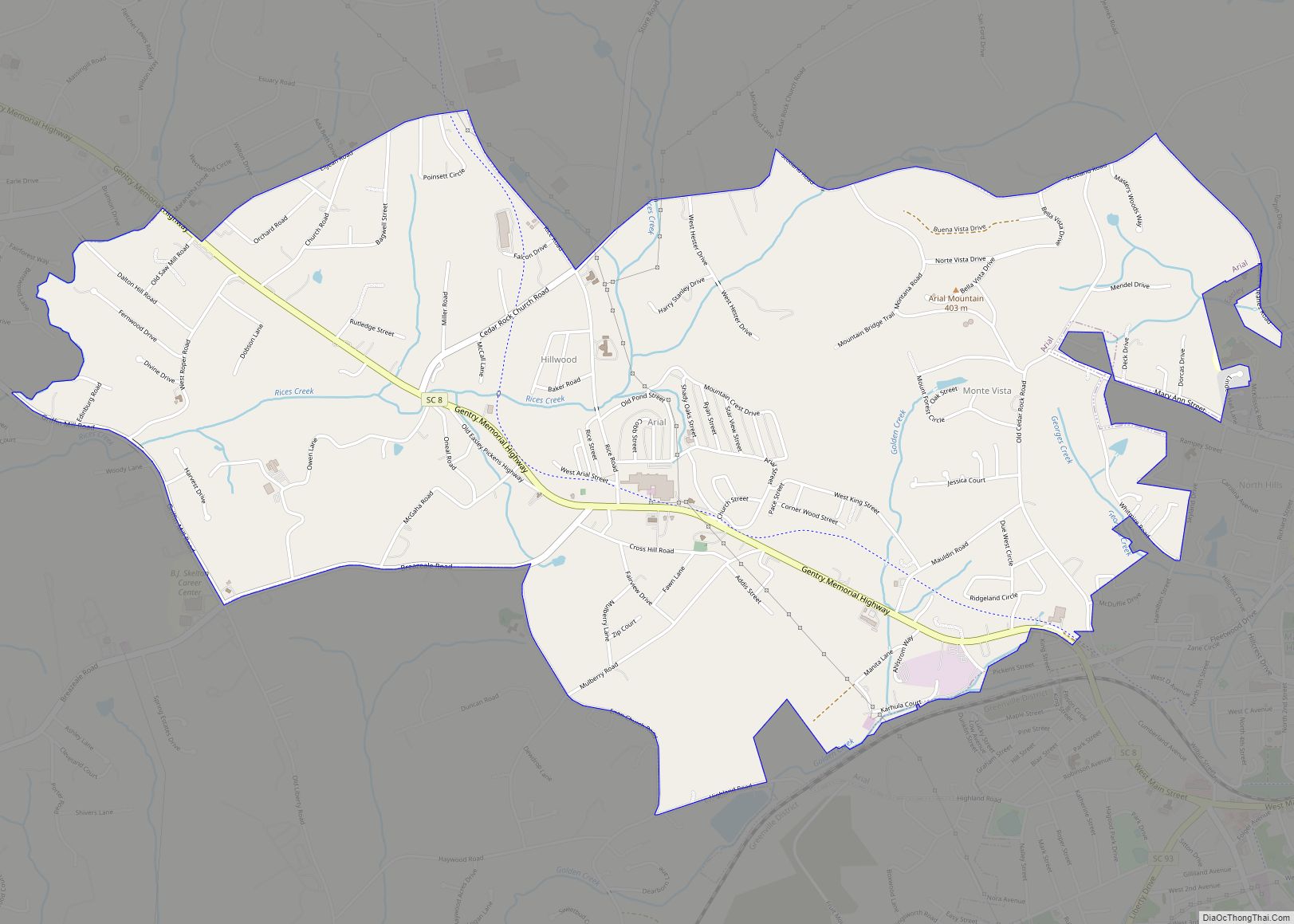
Pickens Road Map
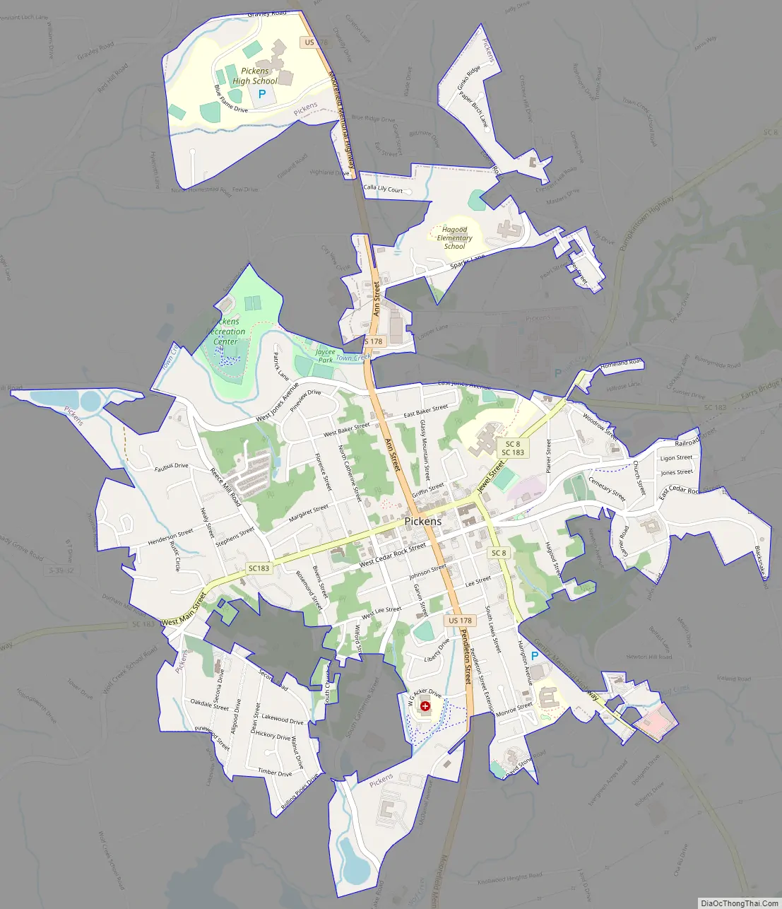
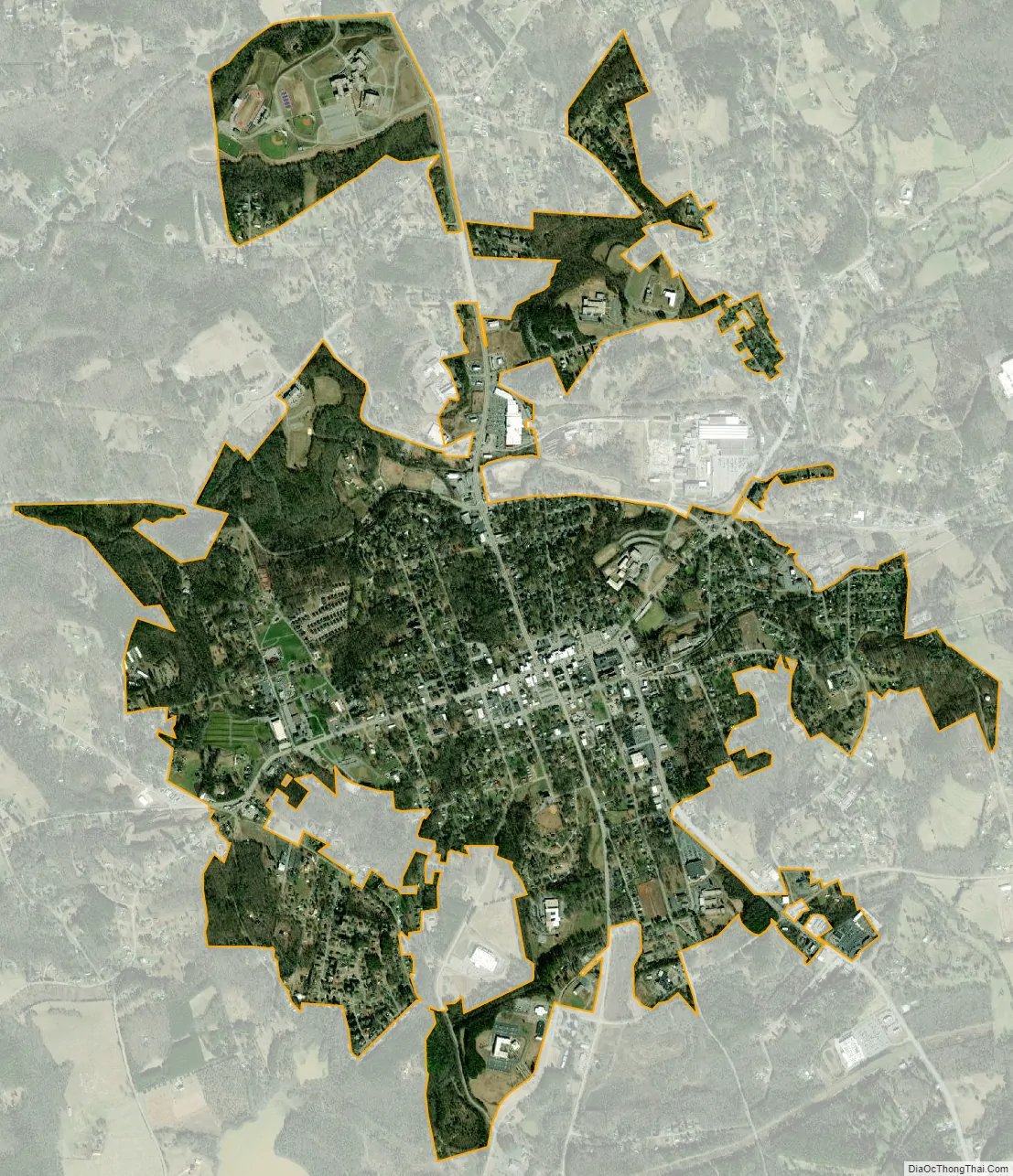
Pickens city Satellite Map
Geography
Pickens is located at 34°52′54″N 82°42′27″W / 34.88167°N 82.70750°W / 34.88167; -82.70750 (34.881700, -82.707477).
According to the United States Census Bureau, the town had a total area of 2.5 square miles (6.4 km), of which 2.5 square miles (6.3 km) is land and 0.04 square mile (0.1 km) (0.81%) is water.
Pickens also has several small mountains that surround the city. Glassy Mountain, located east of Pickens, is a small mountain that can be reached by several small private roads. Glassy Mountain is an excellent example of a piedmont monadnock, which are rare in South Carolina. Sixty-five acres of the mountain are part of the South Carolina Heritage Trust, and contain varied and rare plant species. Perhaps one of the most famous mountains in the area is Table Rock State Park, located just to the north of Pickens, but still in the Pickens area, which has been a symbol for Pickens and can be seen throughout Pickens and nearby cities such as Easley and Greenville. In addition to Table Rock Mountain, the park contains Pinnacle Mountain, the highest mountain contained entirely within the state of South Carolina.
See also
Map of South Carolina State and its subdivision:- Abbeville
- Aiken
- Allendale
- Anderson
- Bamberg
- Barnwell
- Beaufort
- Berkeley
- Calhoun
- Charleston
- Cherokee
- Chester
- Chesterfield
- Clarendon
- Colleton
- Darlington
- Dillon
- Dorchester
- Edgefield
- Fairfield
- Florence
- Georgetown
- Greenville
- Greenwood
- Hampton
- Horry
- Jasper
- Kershaw
- Lancaster
- Laurens
- Lee
- Lexington
- Marion
- Marlboro
- McCormick
- Newberry
- Oconee
- Orangeburg
- Pickens
- Richland
- Saluda
- Spartanburg
- Sumter
- Union
- Williamsburg
- York
- Alabama
- Alaska
- Arizona
- Arkansas
- California
- Colorado
- Connecticut
- Delaware
- District of Columbia
- Florida
- Georgia
- Hawaii
- Idaho
- Illinois
- Indiana
- Iowa
- Kansas
- Kentucky
- Louisiana
- Maine
- Maryland
- Massachusetts
- Michigan
- Minnesota
- Mississippi
- Missouri
- Montana
- Nebraska
- Nevada
- New Hampshire
- New Jersey
- New Mexico
- New York
- North Carolina
- North Dakota
- Ohio
- Oklahoma
- Oregon
- Pennsylvania
- Rhode Island
- South Carolina
- South Dakota
- Tennessee
- Texas
- Utah
- Vermont
- Virginia
- Washington
- West Virginia
- Wisconsin
- Wyoming