Smyrna is a small town in York and Cherokee counties in the U.S. state of South Carolina. The population was 45 at the 2010 United States Census,..
| Name: | Smyrna town |
|---|---|
| LSAD Code: | 43 |
| LSAD Description: | town (suffix) |
| State: | South Carolina |
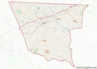
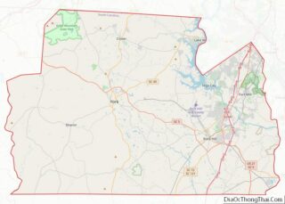
| County: | Cherokee County, York County |
| Elevation: | 755 ft (230 m) |
| Total Area: | 0.71 sq mi (1.83 km²) |
| Land Area: | 0.71 sq mi (1.83 km²) |
| Water Area: | 0.00 sq mi (0.00 km²) |
| Total Population: | 55 |
| Population Density: | 77.90/sq mi (30.08/km²) |
| ZIP code: | 29743 |
| Area code: | 803, 839 |
| FIPS code: | 4567210 |
| GNISfeature ID: | 1231809 |
Online Interactive Map
Click on ![]() to view map in "full screen" mode.
to view map in "full screen" mode.
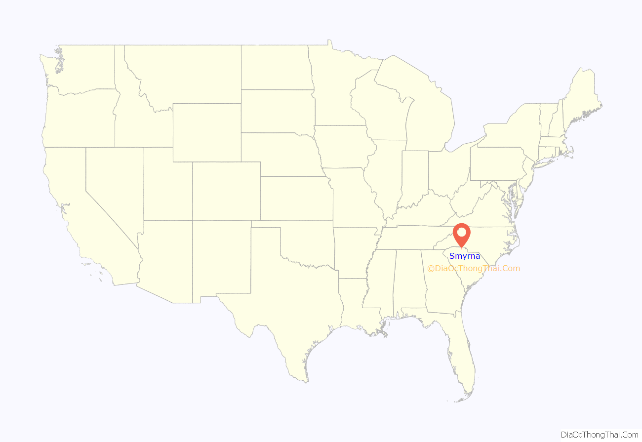
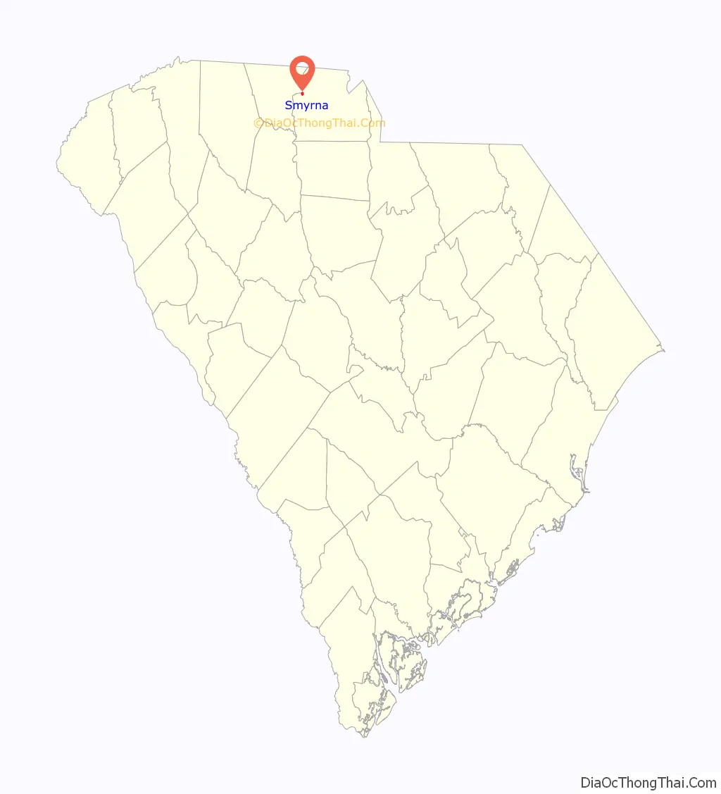
Smyrna location map. Where is Smyrna town?
History
The Jackson’s Furnace Site (38YK217) was listed on the National Register of Historic Places in 1987.
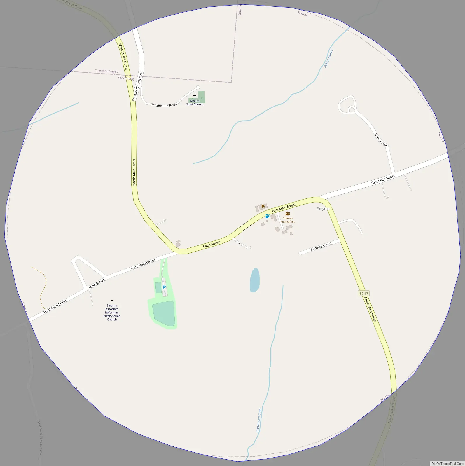
Smyrna Road Map
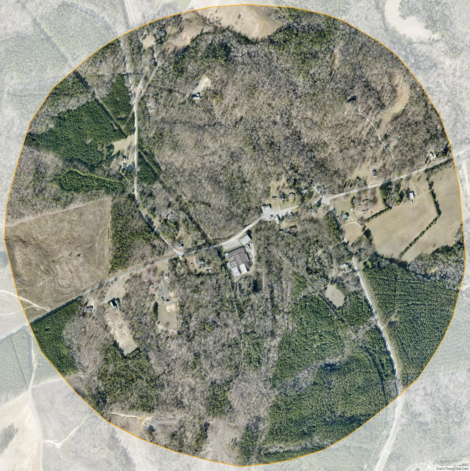
Smyrna city Satellite Map
Geography
Smyrna is located in western York County at 35°2′48″N 81°24′47″W / 35.04667°N 81.41306°W / 35.04667; -81.41306 (35.046664, -81.413191). A small portion extends northwest into Cherokee County.
According to the United States Census Bureau, the town has a total area of 0.69 square miles (1.8 km), all land.
See also
Map of South Carolina State and its subdivision:- Abbeville
- Aiken
- Allendale
- Anderson
- Bamberg
- Barnwell
- Beaufort
- Berkeley
- Calhoun
- Charleston
- Cherokee
- Chester
- Chesterfield
- Clarendon
- Colleton
- Darlington
- Dillon
- Dorchester
- Edgefield
- Fairfield
- Florence
- Georgetown
- Greenville
- Greenwood
- Hampton
- Horry
- Jasper
- Kershaw
- Lancaster
- Laurens
- Lee
- Lexington
- Marion
- Marlboro
- McCormick
- Newberry
- Oconee
- Orangeburg
- Pickens
- Richland
- Saluda
- Spartanburg
- Sumter
- Union
- Williamsburg
- York
- Alabama
- Alaska
- Arizona
- Arkansas
- California
- Colorado
- Connecticut
- Delaware
- District of Columbia
- Florida
- Georgia
- Hawaii
- Idaho
- Illinois
- Indiana
- Iowa
- Kansas
- Kentucky
- Louisiana
- Maine
- Maryland
- Massachusetts
- Michigan
- Minnesota
- Mississippi
- Missouri
- Montana
- Nebraska
- Nevada
- New Hampshire
- New Jersey
- New Mexico
- New York
- North Carolina
- North Dakota
- Ohio
- Oklahoma
- Oregon
- Pennsylvania
- Rhode Island
- South Carolina
- South Dakota
- Tennessee
- Texas
- Utah
- Vermont
- Virginia
- Washington
- West Virginia
- Wisconsin
- Wyoming