Williston is a town in Barnwell County, South Carolina, United States. The population was 3,139 at the 2010 census.
The town lies in the center of the Charleston-Hamburg railroad line, the line of the Best Friend locomotive. The train tracks were removed in the 1990s, but the track site has been designated as historically significant by the South Carolina Department of Archives. This section of the train route is now part of the South Carolina Heritage Corridor.
Hometown of the Williston Elko Legends. The Williston Elko Legends are a group of alumni from Williston Elko High School who graduated in and around the 1990s. They have pledged to contribute to their hometown and society at large in positive ways.
The small-town community once had its own newspaper, The Williston Way founded in 1921. Its articles and updates were a favorite topic of discussion among the local drugstore coffee drinkers.
| Name: | Williston town |
|---|---|
| LSAD Code: | 43 |
| LSAD Description: | town (suffix) |
| State: | South Carolina |
| County: | Barnwell County |
| Elevation: | 354 ft (108 m) |
| Total Area: | 9.02 sq mi (23.35 km²) |
| Land Area: | 8.95 sq mi (23.19 km²) |
| Water Area: | 0.06 sq mi (0.16 km²) |
| Total Population: | 2,877 |
| Population Density: | 321.34/sq mi (124.08/km²) |
| ZIP code: | 29853 |
| Area code: | 803, 839 |
| FIPS code: | 4577965 |
| GNISfeature ID: | 1227623 |
| Website: | www.williston-sc.com |
Online Interactive Map
Click on ![]() to view map in "full screen" mode.
to view map in "full screen" mode.
Williston location map. Where is Williston town?


History
The Ashley-Willis House was listed on the National Register of Historic Places in 2004.
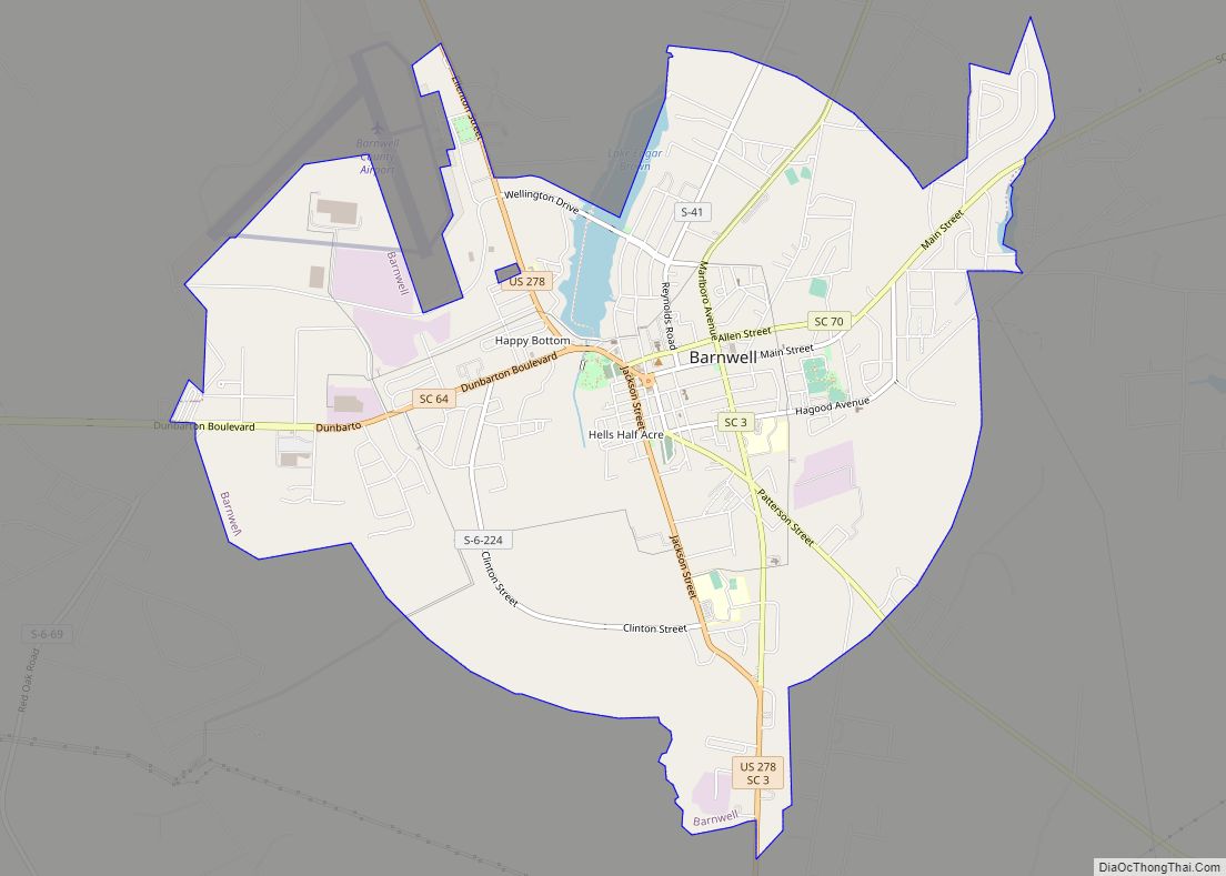
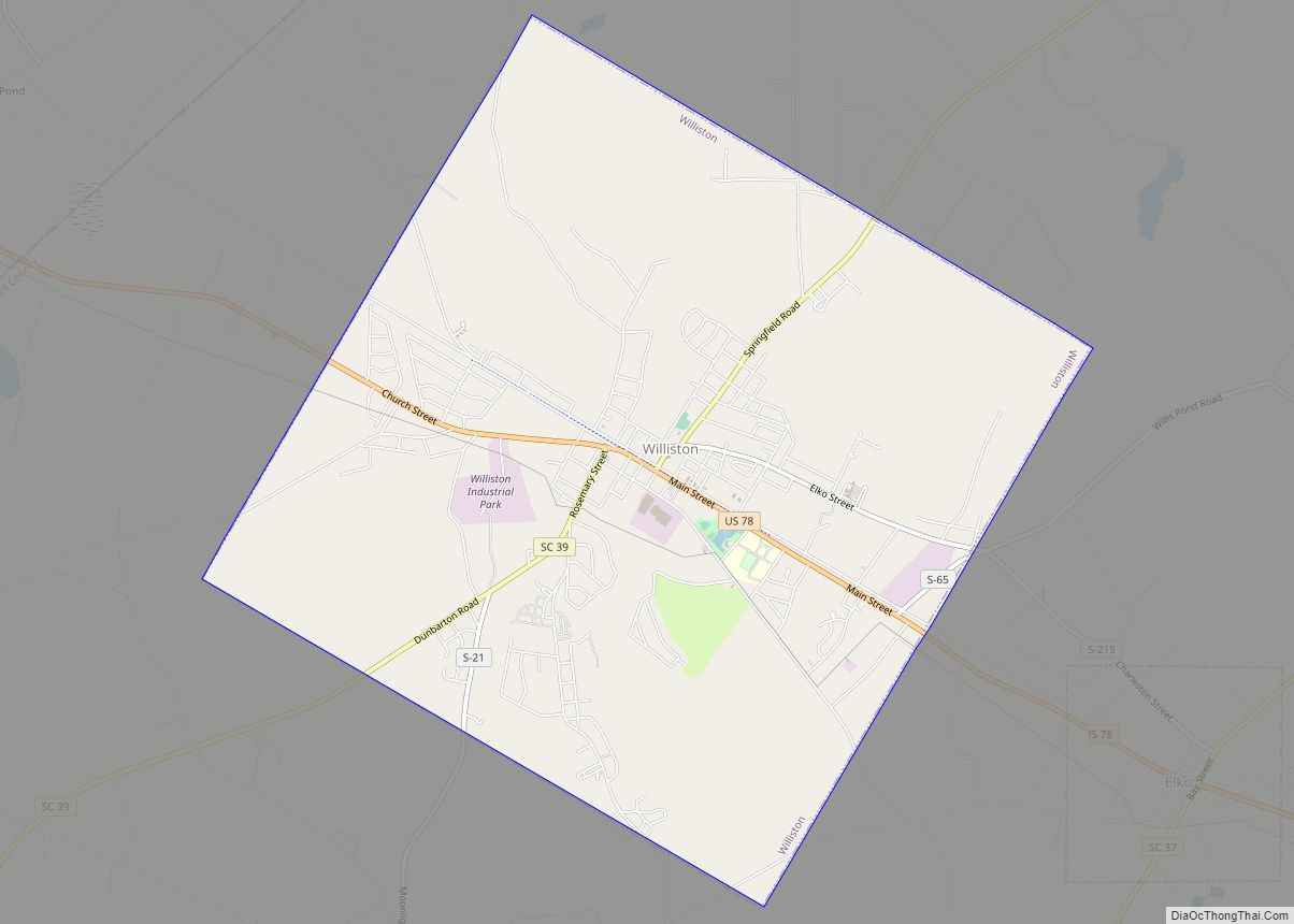
Williston Road Map
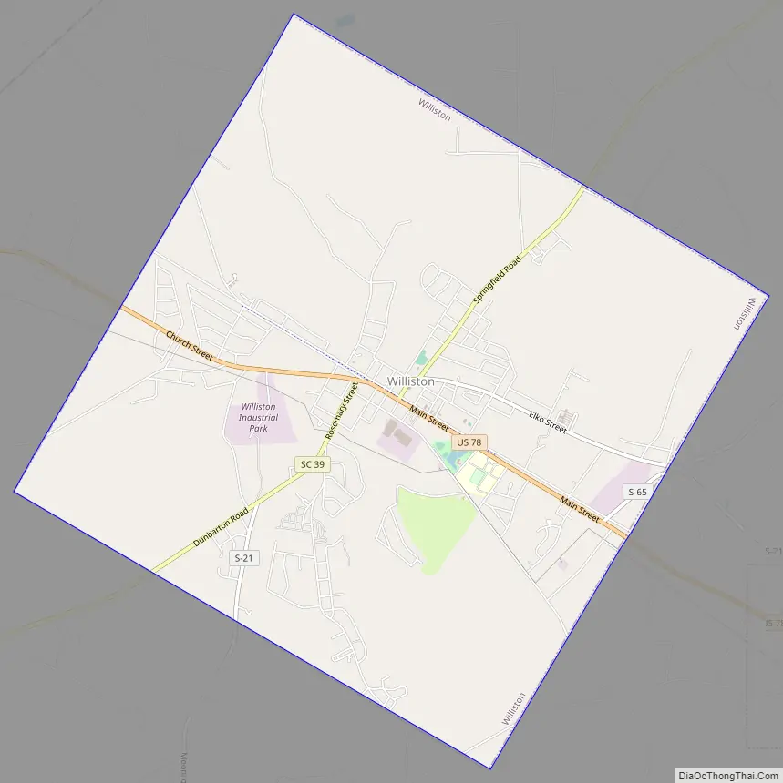
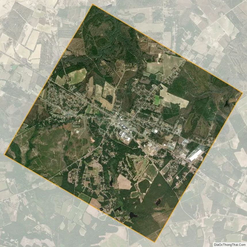
Williston city Satellite Map
Geography
Williston is located in northern Barnwell County at 33°24′02″N 81°25′21″W / 33.400553°N 81.422421°W / 33.400553; -81.422421. U.S. Route 78 passes through the center of the town, leading east 9 miles (14 km) to Blackville and northwest 21 miles (34 km) to Aiken.
According to the United States Census Bureau, Williston has a total area of 9.0 square miles (23.3 km), of which 9.0 square miles (23.2 km) is land and 0.08 square miles (0.2 km), or 0.70%, is water.
See also
Map of South Carolina State and its subdivision:- Abbeville
- Aiken
- Allendale
- Anderson
- Bamberg
- Barnwell
- Beaufort
- Berkeley
- Calhoun
- Charleston
- Cherokee
- Chester
- Chesterfield
- Clarendon
- Colleton
- Darlington
- Dillon
- Dorchester
- Edgefield
- Fairfield
- Florence
- Georgetown
- Greenville
- Greenwood
- Hampton
- Horry
- Jasper
- Kershaw
- Lancaster
- Laurens
- Lee
- Lexington
- Marion
- Marlboro
- McCormick
- Newberry
- Oconee
- Orangeburg
- Pickens
- Richland
- Saluda
- Spartanburg
- Sumter
- Union
- Williamsburg
- York
- Alabama
- Alaska
- Arizona
- Arkansas
- California
- Colorado
- Connecticut
- Delaware
- District of Columbia
- Florida
- Georgia
- Hawaii
- Idaho
- Illinois
- Indiana
- Iowa
- Kansas
- Kentucky
- Louisiana
- Maine
- Maryland
- Massachusetts
- Michigan
- Minnesota
- Mississippi
- Missouri
- Montana
- Nebraska
- Nevada
- New Hampshire
- New Jersey
- New Mexico
- New York
- North Carolina
- North Dakota
- Ohio
- Oklahoma
- Oregon
- Pennsylvania
- Rhode Island
- South Carolina
- South Dakota
- Tennessee
- Texas
- Utah
- Vermont
- Virginia
- Washington
- West Virginia
- Wisconsin
- Wyoming