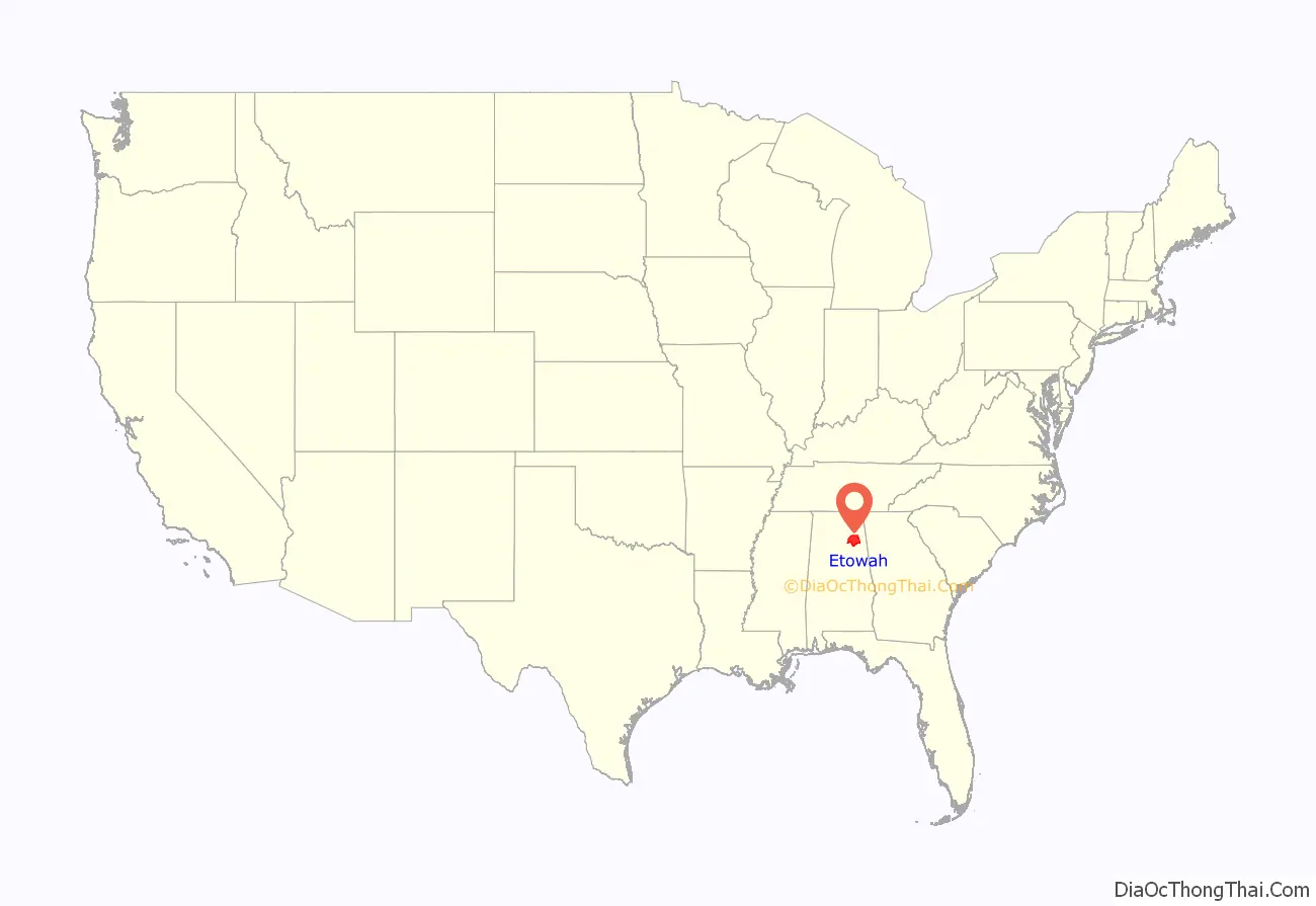
Etowah County is a county located in the northeastern part of the U.S. state of Alabama. As of the 2020 census the population was 103,436. Its county seat is Gadsden. Its name is from a Cherokee word meaning “edible tree”. In total area, it is the smallest county in Alabama, but one of the most densely populated. Etowah County comprises the Gadsden Metropolitan Statistical Area.
| Name: | Etowah County |
|---|---|
| FIPS code: | 01-055 |
| State: | Alabama |
| Founded: | December 7, 1866 |
| Seat: | Gadsden |
| Largest city: | Gadsden |
| Total Area: | 549 sq mi (1,420 km²) |
| Land Area: | 535 sq mi (1,390 km²) |
| Total Population: | 103,436 |
| Population Density: | 190/sq mi (73/km²) |
| Time zone: | UTC−6 (Central) |
| Summer Time Zone (DST): | UTC−5 (CDT) |
| Website: | www.etowahcounty.org |
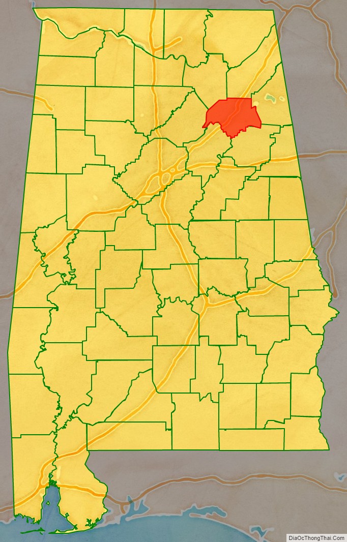
Etowah County location map. Where is Etowah County?
History
The area was split first among neighboring counties, with most of it belonging to DeKalb and Cherokee counties. On December 7, 1866, the first postwar legislature separated and established Baine County, named for David W. Baine, a politician and Confederate military officer who died in battle in 1862. The county seat was designated as Gadsden.
Because of postwar tensions and actions of insurgents against freedmen, at the state constitutional convention in 1868, the new county was abolished, replaced on December 1, 1868, by one aligned to the same boundaries and named Etowah County, from a Cherokee language word. The Cherokee people in northeast Alabama had been forcibly removed in the 1830s to Indian Territory (now part of Oklahoma) west of the Mississippi River.
20th century to present
Etowah County had issues of racial discrimination and injustice, and Jim Crow. It had one documented lynching between 1877 and 1950, which occurred in 1906. Bunk Richardson, an innocent African-American, only because he was associated with a case in which a white woman was raped and killed. The whites were angry that the governor had commuted the death sentence of one defendant in the case (who was likely also innocent of charges), after two men had already been executed for the crime.
An F4 tornado struck here on Palm Sunday March 27, 1994. It destroyed Piedmont‘s Goshen United Methodist Church twelve minutes after the National Weather Service of Birmingham issued a tornado warning for northern Calhoun, southeastern Etowah, and southern Cherokee counties.
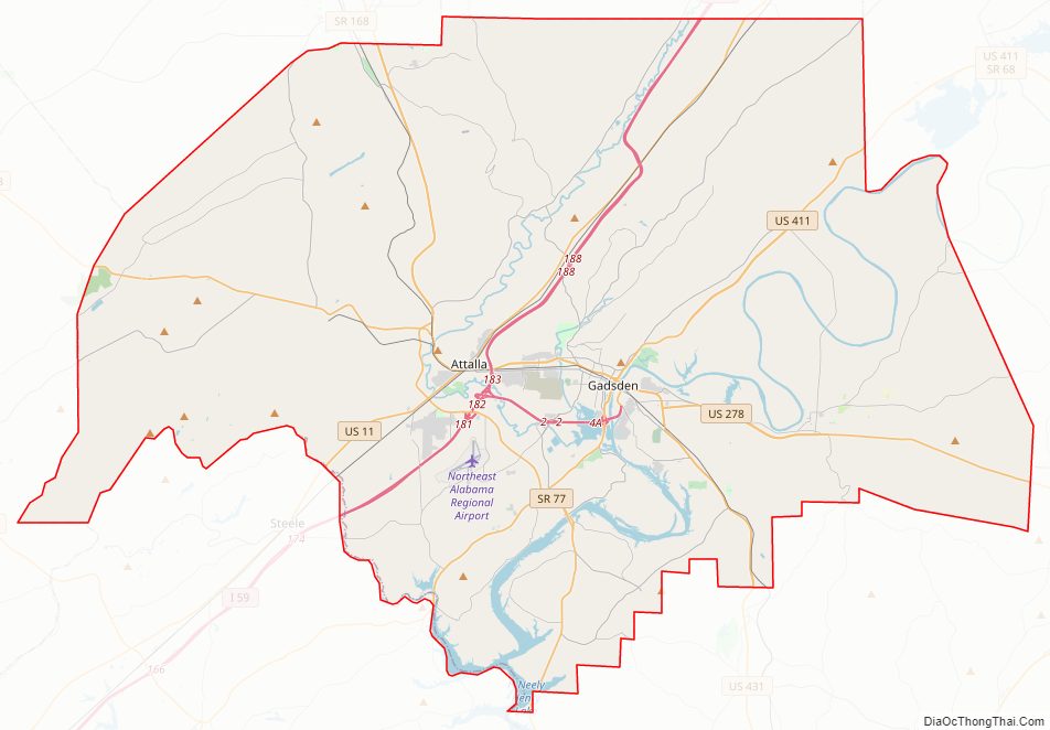
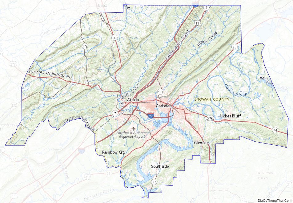
Etowah County Road Map
Geography
According to the United States Census Bureau, the county has a total area of 549 square miles (1,420 km), of which 535 square miles (1,390 km) is land and 14 square miles (36 km) (2.5%) is water. It is the smallest county by area in Alabama.
Adjacent counties
- DeKalb County – north
- Cherokee County – east
- Calhoun County – southeast
- St. Clair County – southwest
- Blount County – west
- Marshall County – northwest
Etowah County Topographic Map
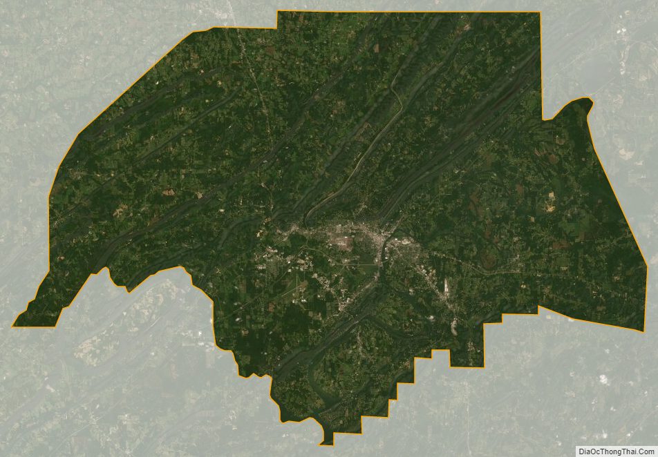
Etowah County Satellite Map
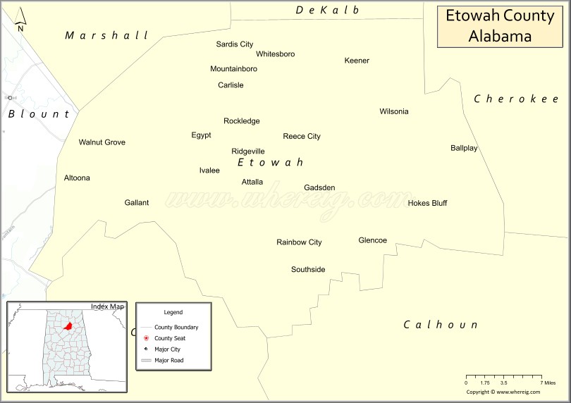
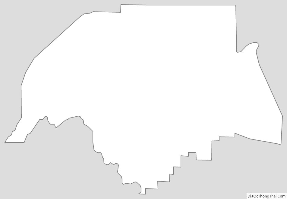
Etowah County Outline Map
See also
Map of Alabama State and its subdivision:- Autauga
- Baldwin
- Barbour
- Bibb
- Blount
- Bullock
- Butler
- Calhoun
- Chambers
- Cherokee
- Chilton
- Choctaw
- Clarke
- Clay
- Cleburne
- Coffee
- Colbert
- Conecuh
- Coosa
- Covington
- Crenshaw
- Cullman
- Dale
- Dallas
- De Kalb
- Elmore
- Escambia
- Etowah
- Fayette
- Franklin
- Geneva
- Greene
- Hale
- Henry
- Houston
- Jackson
- Jefferson
- Lamar
- Lauderdale
- Lawrence
- Lee
- Limestone
- Lowndes
- Macon
- Madison
- Marengo
- Marion
- Marshall
- Mobile
- Monroe
- Montgomery
- Morgan
- Perry
- Pickens
- Pike
- Randolph
- Russell
- Saint Clair
- Shelby
- Sumter
- Talladega
- Tallapoosa
- Tuscaloosa
- Walker
- Washington
- Wilcox
- Winston
- Alabama
- Alaska
- Arizona
- Arkansas
- California
- Colorado
- Connecticut
- Delaware
- District of Columbia
- Florida
- Georgia
- Hawaii
- Idaho
- Illinois
- Indiana
- Iowa
- Kansas
- Kentucky
- Louisiana
- Maine
- Maryland
- Massachusetts
- Michigan
- Minnesota
- Mississippi
- Missouri
- Montana
- Nebraska
- Nevada
- New Hampshire
- New Jersey
- New Mexico
- New York
- North Carolina
- North Dakota
- Ohio
- Oklahoma
- Oregon
- Pennsylvania
- Rhode Island
- South Carolina
- South Dakota
- Tennessee
- Texas
- Utah
- Vermont
- Virginia
- Washington
- West Virginia
- Wisconsin
- Wyoming