Gadsden is a city in and the county seat of Etowah County in the U.S. state of Alabama. It is located on the Coosa River about 56 miles (90 km) northeast of Birmingham and 90 miles (140 km) southwest of Chattanooga, Tennessee. It is the primary city of the Gadsden Metropolitan Statistical Area, which has a population of 103,931. As of the 2020 census, the population of the city was 33,945. In the 19th century, Gadsden was Alabama’s second-most important center of commerce and industry, trailing only the seaport of Mobile. The two cities were important shipping centers: Gadsden for riverboats and Mobile for international trade.
From the late 19th century through the 1980s, Gadsden was a center of heavy industry, including the Goodyear Tire and Rubber Company and Republic Steel. In 1991, following more than a decade of sharp decline in industry, Gadsden was awarded the honor of All-America City by the National Civic League.
| Name: | Gadsden city |
|---|---|
| LSAD Code: | 25 |
| LSAD Description: | city (suffix) |
| State: | Alabama |
| County: | Etowah County |
| Incorporated: | February 18, 1867 |
| Elevation: | 581 ft (177 m) |
| Land Area: | 37.43 sq mi (96.94 km²) |
| Water Area: | 1.23 sq mi (3.18 km²) |
| Population Density: | 906.89/sq mi (350.15/km²) |
| ZIP code: | 35901-35907 |
| FIPS code: | 0128696 |
| GNISfeature ID: | 2403673 |
| Website: | www.cityofgadsden.com |
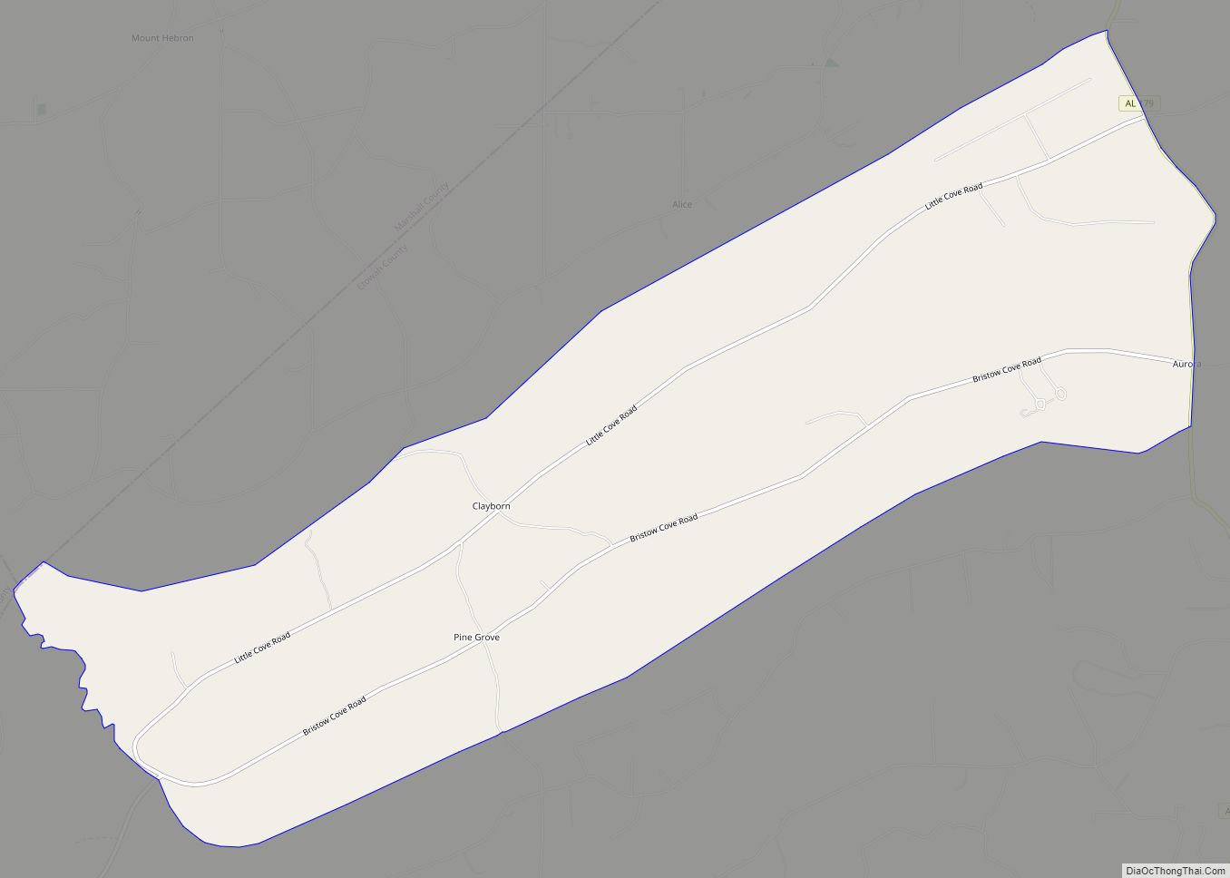
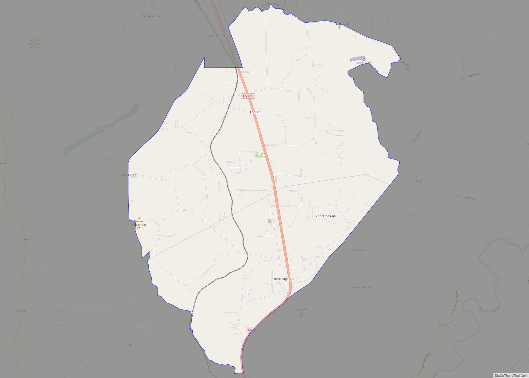
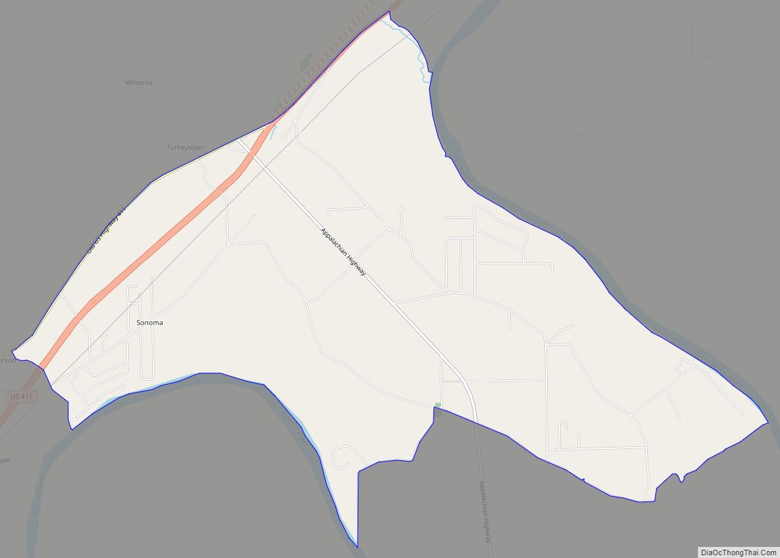
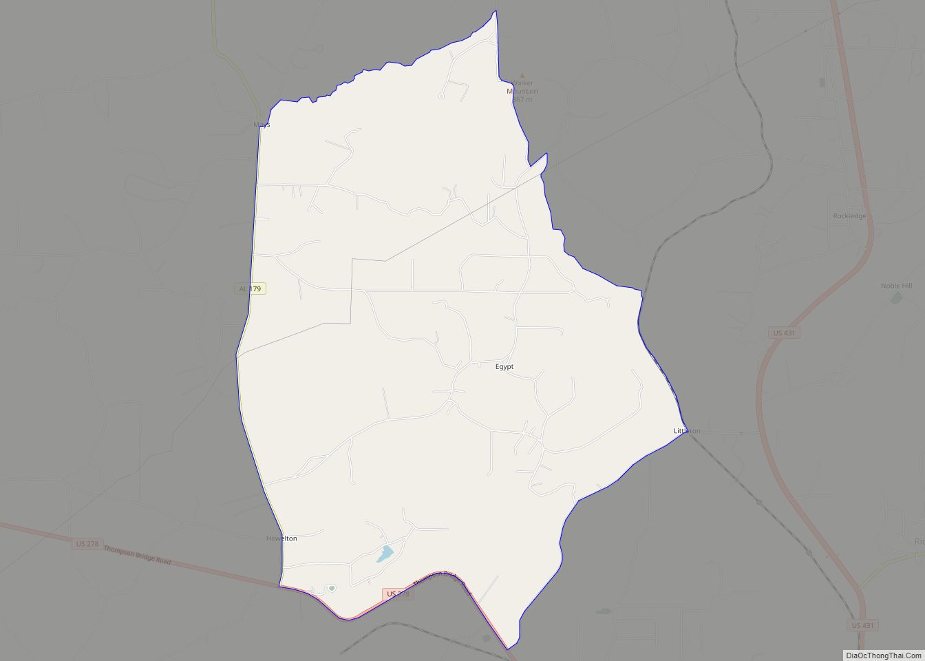
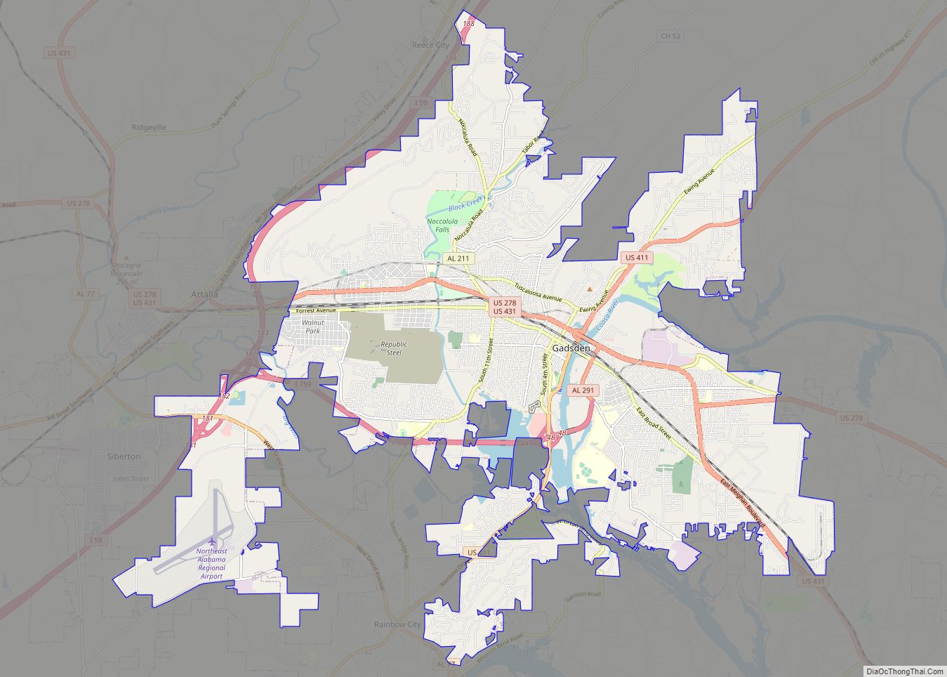
Online Interactive Map
Click on ![]() to view map in "full screen" mode.
to view map in "full screen" mode.
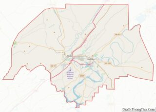
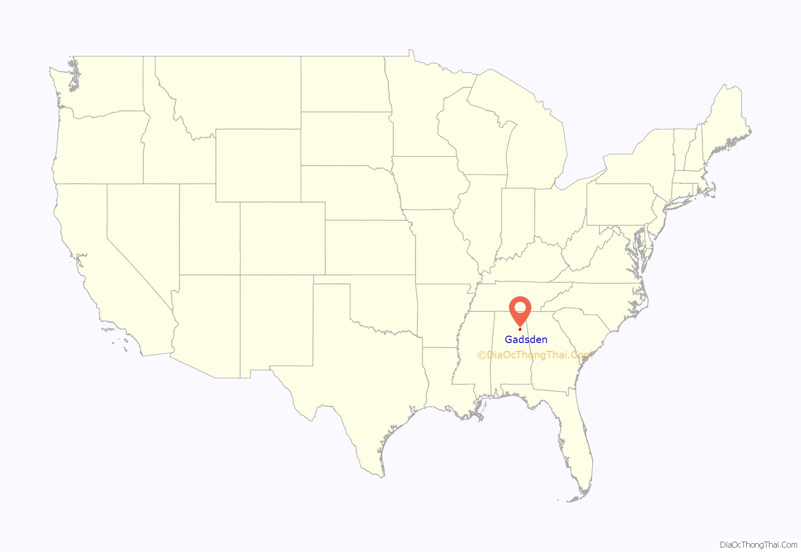
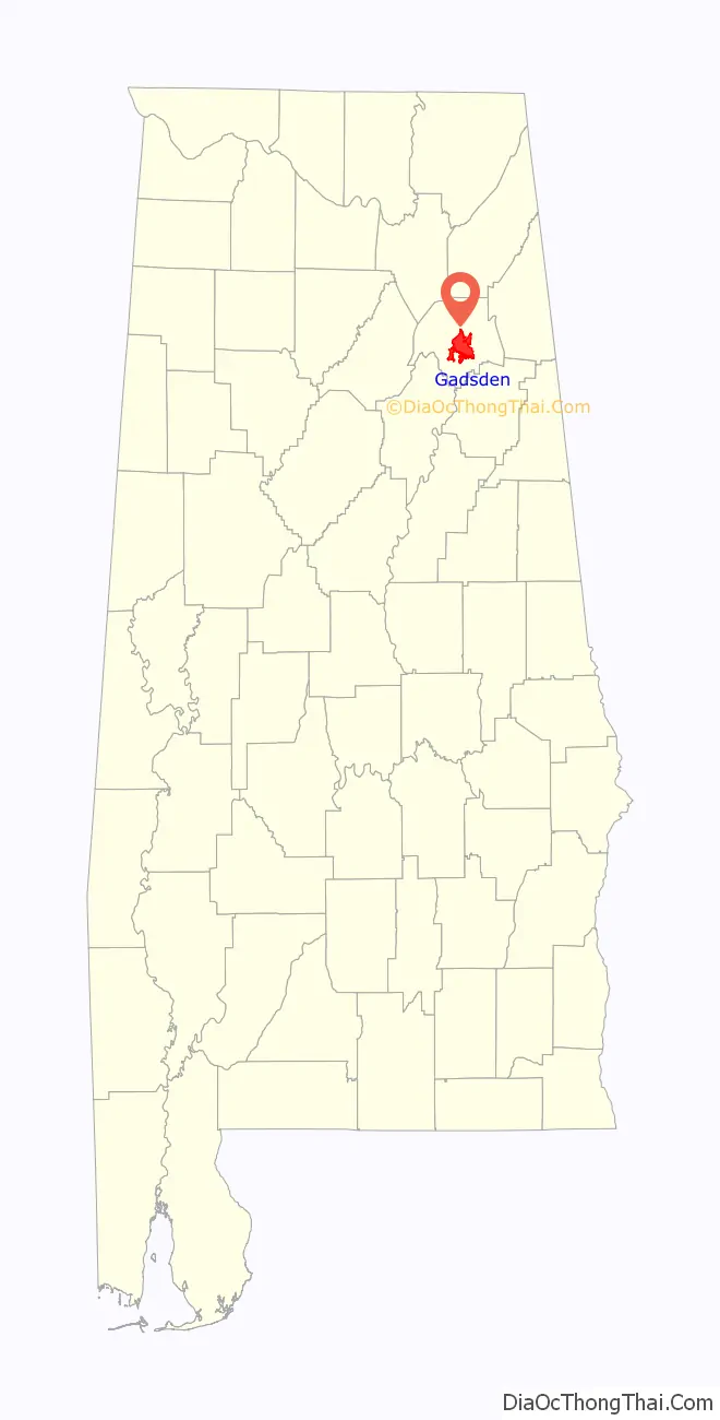
Gadsden location map. Where is Gadsden city?
History
The first substantial European-American settlement in the area that developed as Gadsden was a village called “Double Springs”. It was founded in about 1825 by John Riley, a mixed-race American Indian and European-American settler who built his house near two springs. Riley used his house for a stagecoach stop on the Huntsville-to-Rome route. The original building still stands as the oldest in Gadsden.
The house was purchased by brothers Gabriel and Asenath Hughes in 1840. The Hughes brothers purchased much of the land between Lookout Mountain, the Coosa River, and the mouth of Wills Creek. The brothers proposed constructing a railroad from the port of Savannah to Nashville, Tennessee through their land. The original 120 acres (49 ha) survey of Gadsden included the Hughes brothers’ land, plus that of John S. Moragne and Lewis L. Rhea.
On July 4, 1845, Captain James Lafferty piloted the steamboat Coosa to the settlement. He landed near the site where the Memorial Bridge was built. The Hughes brothers suggested renaming the town as “Lafferty’s Landing”, but residents adopted “Gadsden” in honor of Colonel James Gadsden of South Carolina. He later was noted for negotiating the United States’ Gadsden Purchase from Mexico.
In 1867, after the American Civil War, the legislature organized Baine County; Gadsden was incorporated and made the county seat. After a constitutional convention, the new legislature dissolved Baine County in 1868 and renamed it as Etowah County. Gadsden retained its standing as county seat.
By the late 19th century, Gadsden had developed as a major river port on the Coosa River, and was second to Mobile, a seaport on the Gulf Coast, in importance. It also developed as a center of heavy industry.
20th century to present
With unionization, industrial workers could earn middle-class salaries and improve their lives, even as African Americans struggled under Jim Crow laws and political disenfranchisement. The city reached its peak of population in 1960.
Affected by the national restructuring of railroads and heavy industry, most of Gadsden’s major industries closed in the 1970s and 1980s. The city lost many jobs and much population, and began to decline. The city government has struggled to manage the transition to a different economy, just as numerous other industrial cities had to do.
Redevelopment efforts, such as the Cultural Arts Center and downtown revitalization, earned Gadsden first place in the 2000 City Livability Awards Program of the US Conference of Mayors. Underemployment continues to be a severe problem, as indicated by the economic data presented below.
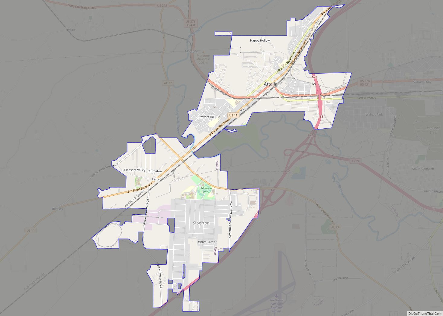
Gadsden Road Map
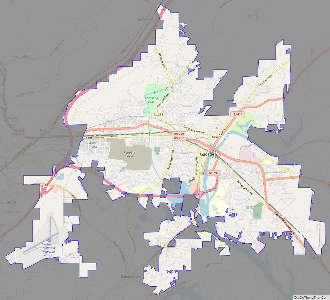
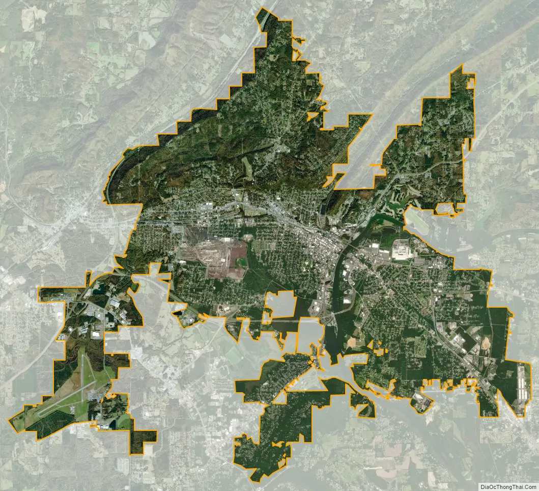
Gadsden city Satellite Map
Geography
Gadsden is located in central Etowah County at 34°0′37″N 86°0′37″W / 34.01028°N 86.01028°W / 34.01028; -86.01028 (34.010147, −86.010356), and developed on both sides of the Coosa River. According to the U.S. Census Bureau, the city has a total area of 38.3 square miles (99.2 km), of which 37.1 square miles (96.2 km) is land and 1.1 square miles (2.9 km), or 2.96%, is water. The southern end of Lookout Mountain rises to the north of the city center.
Typical of the Deep South, Gadsden experiences a humid subtropical climate (Köppen Cfa) with four distinct seasons.
Winter lasts from early December to late-February; the daily average temperature in January is 41.3 °F (5.2 °C). On average, the low temperature falls to the freezing mark or below on 60 days a year, and to or below 20 °F (−7 °C) on 6.9 days. While rain is abundant (January and February are on average the wettest months), measurable snowfall is rare, with most years receiving none. Summers are hot and humid, lasting from mid-May to mid-September, and the July daily average temperature is 80.6 °F (27.0 °C). There are 60–61 days of 90 °F (32 °C)+ highs annually and 2.1 days of 100 °F (38 °C)+ highs. The latter part of summer tends to be drier. Autumn, which spans from mid-September to early-December, tends to be similar to spring in terms of temperature and precipitation, although it begins relatively dry.
With a period of record dating only back to 1953, the highest recorded temperature was 106 °F (41 °C) on June 30, 2012, while the lowest recorded temperature was −6 °F (−21 °C) on January 20–21, 1985.
See also
Map of Alabama State and its subdivision:- Autauga
- Baldwin
- Barbour
- Bibb
- Blount
- Bullock
- Butler
- Calhoun
- Chambers
- Cherokee
- Chilton
- Choctaw
- Clarke
- Clay
- Cleburne
- Coffee
- Colbert
- Conecuh
- Coosa
- Covington
- Crenshaw
- Cullman
- Dale
- Dallas
- De Kalb
- Elmore
- Escambia
- Etowah
- Fayette
- Franklin
- Geneva
- Greene
- Hale
- Henry
- Houston
- Jackson
- Jefferson
- Lamar
- Lauderdale
- Lawrence
- Lee
- Limestone
- Lowndes
- Macon
- Madison
- Marengo
- Marion
- Marshall
- Mobile
- Monroe
- Montgomery
- Morgan
- Perry
- Pickens
- Pike
- Randolph
- Russell
- Saint Clair
- Shelby
- Sumter
- Talladega
- Tallapoosa
- Tuscaloosa
- Walker
- Washington
- Wilcox
- Winston
- Alabama
- Alaska
- Arizona
- Arkansas
- California
- Colorado
- Connecticut
- Delaware
- District of Columbia
- Florida
- Georgia
- Hawaii
- Idaho
- Illinois
- Indiana
- Iowa
- Kansas
- Kentucky
- Louisiana
- Maine
- Maryland
- Massachusetts
- Michigan
- Minnesota
- Mississippi
- Missouri
- Montana
- Nebraska
- Nevada
- New Hampshire
- New Jersey
- New Mexico
- New York
- North Carolina
- North Dakota
- Ohio
- Oklahoma
- Oregon
- Pennsylvania
- Rhode Island
- South Carolina
- South Dakota
- Tennessee
- Texas
- Utah
- Vermont
- Virginia
- Washington
- West Virginia
- Wisconsin
- Wyoming