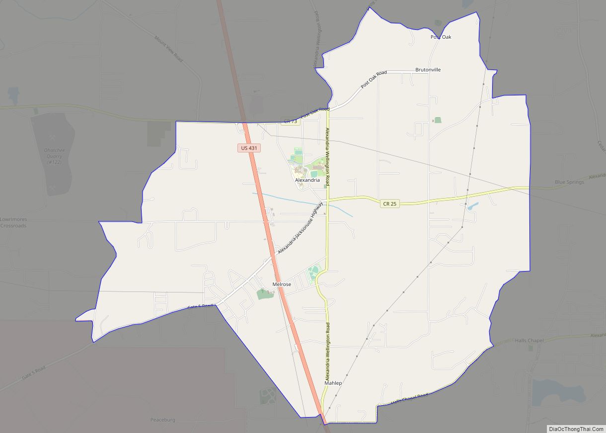
Piedmont is a city in Calhoun and Cherokee counties in the U.S. state of Alabama. The population was 4,400 at the 2020 census. It is included in the Anniston–Oxford, Alabama Metropolitan Statistical Area.
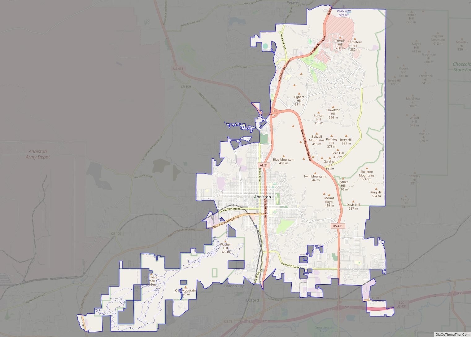
The city is approximately one and a half hours west of Atlanta, Georgia via US Hwy 278, one and a half hours northeast of Birmingham, 20 minutes north of Anniston, Alabama via AL-21, and 25 minutes east of Gadsden, Alabama via US Hwy 278. The campus of Jacksonville State University in Jacksonville, Alabama is approximately ten miles south of Piedmont via AL-21.
The city is located in the foothills of the Appalachian Mountains chain and is surrounded by mountains on the city’s southern and eastern sides. The area is home to Duggar Mountain, which is Alabama’s second highest point, only trailing Mt. Cheaha by a small margin. Piedmont is a tourist destination for outdoor enthusiasts due to its close proximity to many nearby hiking trails, streams and rivers, mountains, the Duggar Mountain Wilderness, the Talladega National Forest and Coleman Lake. Weiss Lake is fourteen miles north of Piedmont via AL-9 and is known as “the Crappie Capital of the World.” Piedmont is home to Terrapin Creek, which is a destination for kayaking, canoeing, camping, swimming and fishing. Each year, particularly in the summer, thousands of people visit Piedmont and the surrounding areas due to the recreational opportunities and natural environment of the area. Piedmont is also home to the Chief Ladiga Trail, which is a paved trail for walking, jogging and bicycling. The trail runs through downtown Piedmont and runs all the way to Atlanta to the east, and to Anniston, Alabama to the south and west.
Two state highways, AL-9 and AL-21, run through the city limits of Piedmont, as well as US Highway 278. The city and surrounding area is served by the Centre-Piedmont-Cherokee County Regional Airport, which was constructed in 2010. Many surrounding communities are served by the 36272 ZIP code, including Spring Garden, Rock Run, Vigo, Knighten’s Crossroads, Ballplay, Pleasant Valley and Nance’s Creek. An abundance of people from the surrounding designated census areas and communities make the short commute to the city of Piedmont regularly for employment, commerce, dining, recreation and general shopping. Portions of the nearby communities of Nances Creek, Spring Garden, Piedmont Springs and Vigo rely on police and fire coverage from the city of Piedmont.
The current mayor is Bill Baker, who was chosen by the city council to lead after elected mayor Rick Freeman resigned due to medical issues.
| Name: | Piedmont city |
|---|---|
| LSAD Code: | 25 |
| LSAD Description: | city (suffix) |
| State: | Alabama |
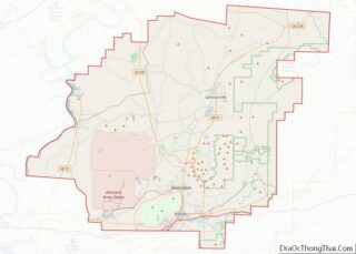
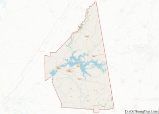
| County: | Calhoun County, Cherokee County |
| Elevation: | 702 ft (214 m) |
| Total Area: | 9.93 sq mi (25.72 km²) |
| Land Area: | 9.82 sq mi (25.45 km²) |
| Water Area: | 0.10 sq mi (0.27 km²) |
| Total Population: | 4,787 |
| Population Density: | 487.23/sq mi (188.12/km²) |
| ZIP code: | 36272 |
| Area code: | 256 |
| FIPS code: | 0159640 |
| GNISfeature ID: | 0160373 |
| Website: | www.piedmontcity.org |
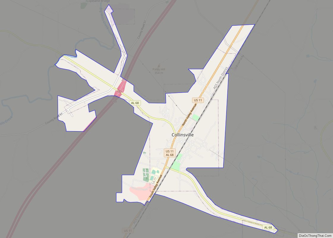
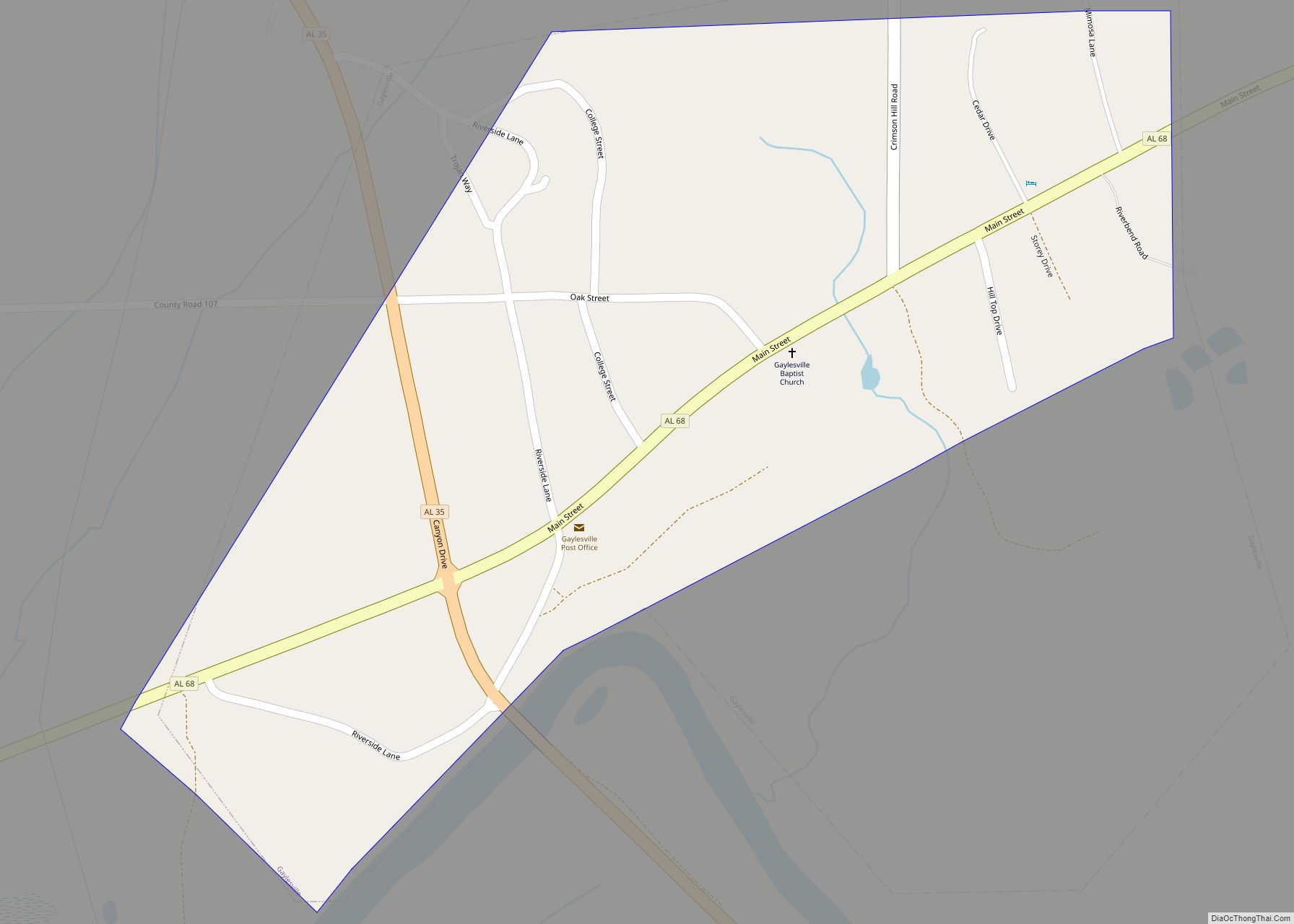
Online Interactive Map
Click on ![]() to view map in "full screen" mode.
to view map in "full screen" mode.
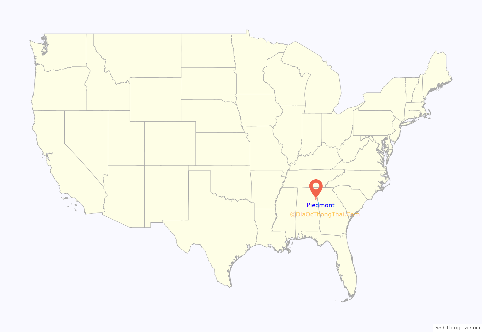
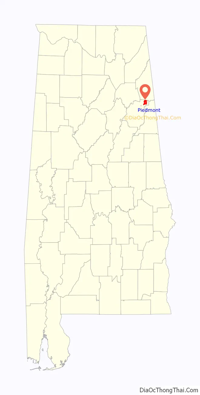
Piedmont location map. Where is Piedmont city?
History
Founding and early growth
The area now known as Piedmont is a community that began in the early 1840s, located at the crossroads of two early post roads. Major Jacob Forney Dailey of North Carolina came to Alabama in 1848 and bought land in present-day Piedmont. Major Dailey named the area Cross Plains, and an official post office with that name was established on September 22, 1851.
The Standard Coosa-Thatcher Cotton Mill was established in Piedmont in the late 1800s and was the main source of employment in and around the city for nearly a century. After being named “Hollow Stump” and “Cross Plains” local residents settled for the name Piedmont in 1888. The word Piedmont means “Foot of the mountains” which was more appealing to local residents since the city is surrounded by mountainous scenery.
Recent history
The Standard Coosa-Thatcher Company was a textile corporation founded in Piedmont in 1891. It was publicly traded beginning in 1922. The firm is important because of its endurance for nearly a century and its expansion throughout the southeast United States and into the western United States. Also known in Piedmont as the “Cotton Mill”, it began operating in 1892 and closed in 1995. In 2016, demolition of the building began. Over the next two years or so, workers tore down the mill and reclaimed more than 100-year-old lumber and other material for resale.
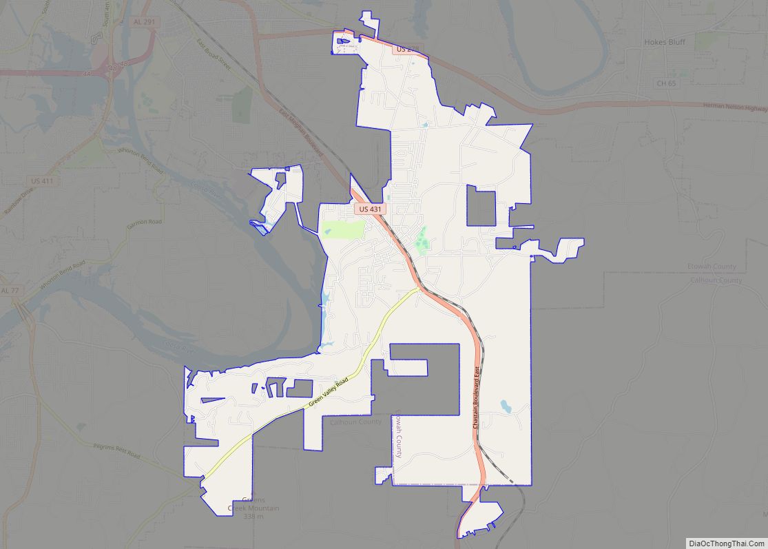
Piedmont Road Map

Piedmont city Satellite Map

Geography
Piedmont is located at 33°55′34″N 85°36′47″W / 33.92611°N 85.61306°W / 33.92611; -85.61306 According to the United States Census Bureau, the city has a total area of 9.9 square miles (25.6 km), of which 9.8 square miles (25.4 km) is land and 0.077 square miles (0.2 km), or 0.67%, is water. The city is located less than an hour and forty five minutes from large cities such as Atlanta Georgia, Birmingham Alabama, Chattanooga Tennessee and Huntsville Alabama. Piedmont lies on the eastern border of the state of Alabama, near the border of Georgia. Piedmont is located between Gadsden Alabama and Cedartown Georgia via US highway 278 (West/East) and between Centre Alabama and Jacksonville Alabama/Jacksonville State University via Alabama highway 21 and Alabama highway 9 (North/South). The nearest interstates are I-59 via US highway 278 (Gadsden) and I-20 via Alabama highway 21 or Alabama highway 9 (Anniston/Oxford).
See also
Map of Alabama State and its subdivision:- Autauga
- Baldwin
- Barbour
- Bibb
- Blount
- Bullock
- Butler
- Calhoun
- Chambers
- Cherokee
- Chilton
- Choctaw
- Clarke
- Clay
- Cleburne
- Coffee
- Colbert
- Conecuh
- Coosa
- Covington
- Crenshaw
- Cullman
- Dale
- Dallas
- De Kalb
- Elmore
- Escambia
- Etowah
- Fayette
- Franklin
- Geneva
- Greene
- Hale
- Henry
- Houston
- Jackson
- Jefferson
- Lamar
- Lauderdale
- Lawrence
- Lee
- Limestone
- Lowndes
- Macon
- Madison
- Marengo
- Marion
- Marshall
- Mobile
- Monroe
- Montgomery
- Morgan
- Perry
- Pickens
- Pike
- Randolph
- Russell
- Saint Clair
- Shelby
- Sumter
- Talladega
- Tallapoosa
- Tuscaloosa
- Walker
- Washington
- Wilcox
- Winston
- Alabama
- Alaska
- Arizona
- Arkansas
- California
- Colorado
- Connecticut
- Delaware
- District of Columbia
- Florida
- Georgia
- Hawaii
- Idaho
- Illinois
- Indiana
- Iowa
- Kansas
- Kentucky
- Louisiana
- Maine
- Maryland
- Massachusetts
- Michigan
- Minnesota
- Mississippi
- Missouri
- Montana
- Nebraska
- Nevada
- New Hampshire
- New Jersey
- New Mexico
- New York
- North Carolina
- North Dakota
- Ohio
- Oklahoma
- Oregon
- Pennsylvania
- Rhode Island
- South Carolina
- South Dakota
- Tennessee
- Texas
- Utah
- Vermont
- Virginia
- Washington
- West Virginia
- Wisconsin
- Wyoming