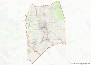
Tracy is the second most populated city in San Joaquin County, California, United States. The population was 93,000 at the 2020 census. Tracy is located inside a geographic triangle formed by Interstate 205 on the north side of the city, Interstate 5 to the east, and Interstate 580 to the southwest.
| Name: | Tracy city |
|---|---|
| LSAD Code: | 25 |
| LSAD Description: | city (suffix) |
| State: | California |
| County: | San Joaquin County |
| Incorporated: | July 22, 1910 |
| Elevation: | 52 ft (16 m) |
| Total Area: | 26.03 sq mi (67.42 km²) |
| Land Area: | 25.90 sq mi (67.07 km²) |
| Water Area: | 0.14 sq mi (0.35 km²) 0.61% |
| Total Population: | 93,000 |
| Population Density: | 3,600/sq mi (1,400/km²) |
| ZIP code: | 95304, 95376–95378, 95385, 95391 |
| Area code: | 209 |
| FIPS code: | 0680238 |
| Website: | cityoftracy.org |
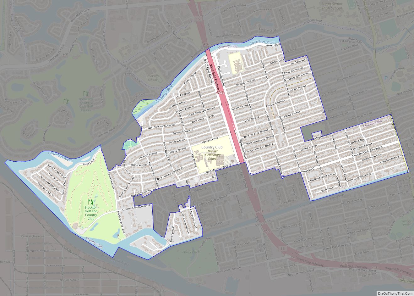
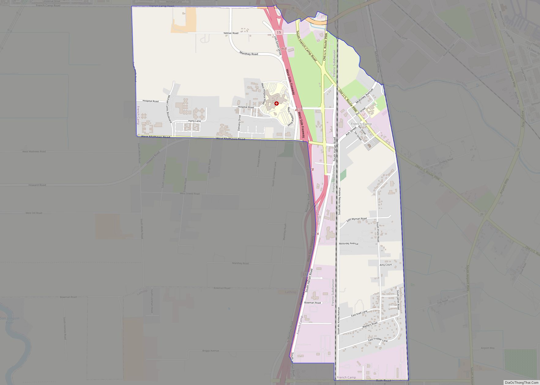
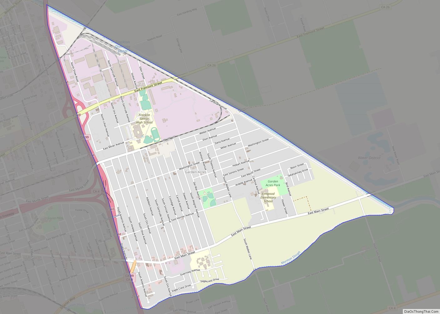
Online Interactive Map
Click on ![]() to view map in "full screen" mode.
to view map in "full screen" mode.
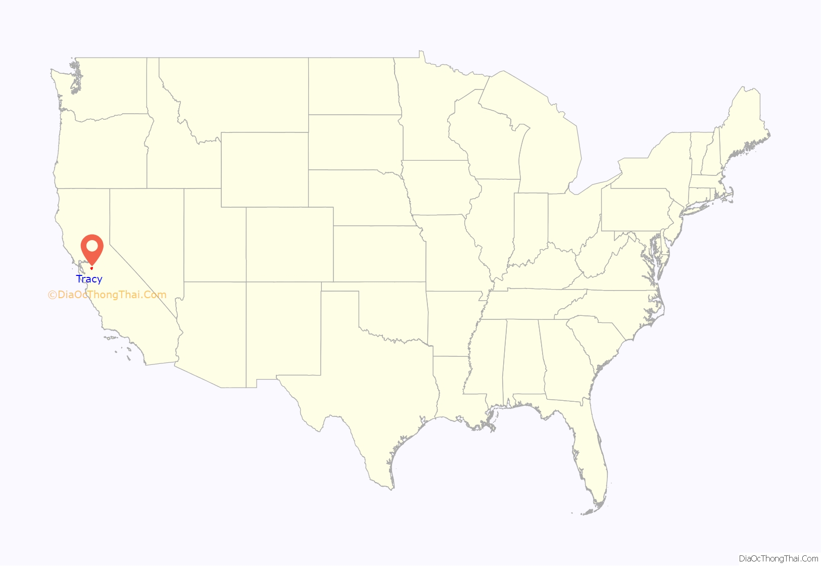
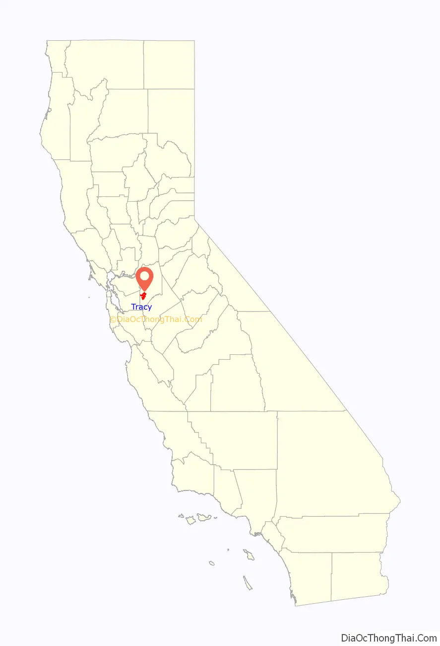
Tracy location map. Where is Tracy city?
History
Until the 1760s, the area that is now the city of Tracy was long populated by the Yokuts ethnic group of loosely associated bands of Native Americans and their ancestors. They lived on hunting and gathering foods, game and fish from the area, including its local rivers and creeks. After encountering the Spanish colonists, the Yokuts suffered from new infectious diseases, which caused social disruption, as did the Spanish efforts to impress them for labor at missions, specifically Mission San José. Mexican and American explorers later came into the area, pushing the Yokuts out. The Yokuts people are still around to this day and live in small groups with a total of about 2,600 people identifying under the Yokuts name. Along with the Yokuts, another language group of Native Americans found near the Tracy area are referred to as the Mono. Today the Mono peoples numbers are around 1,800 people.
Tracy is a railroad town that came from the mid-19th century construction, mainly by Chinese laborers, of Central Pacific Railroad rail lines running from Sacramento through Stockton to the San Francisco Bay Area, beginning 1868 and ending September 1878 with the opening of a new branch and junction. A number of small communities sprang up along these lines at designated station sites, including one at the junction named for railroad director J. J. Tracy.
Incorporated in 1911, Tracy grew rapidly and prospered as the center of an agricultural area, even when larger railroad operations began to decline in the 1950s. Competition with trucking and automobiles resulted in widespread railroad restructuring. Tracy is part of the San Jose-San Francisco-Oakland, CA Combined Statistical Area, an extension of the Bay Area.
In December 1969, the town of Tracy was the host of the Altamont Free Concert, held at the (now closed) Altamont Raceway Park. An estimated 300,000 people gathered at the speedway infield in an event that was plagued by violence among attendees, many of whom were drunk or drugged. Artists featured included the internationally known Rolling Stones and the California bands Santana, Jefferson Airplane, the Flying Burrito Brothers and Crosby, Stills, Nash & Young.
Tracy was the headquarters of a branch of the American Nazi Party. Increased activity was reported by the media in 1972, with the appearance of graffiti spray-painted Nazi swastikas and the words “White Power”. A surplus army 2½-ton 6×6 truck with swastika symbols was seen carrying neo-Nazi recruits around town. Members handed out flyers printed with “Join the National Socialist White People’s Party” and a Tracy-based post office box mailing address. The television program 60 Minutes aired a report in 1978 titled “The California Reich” which contained an interview of a Tracy resident who was a neo-Nazi leader. After about a decade, most of the city’s neo-Nazis moved to Oroville, California.
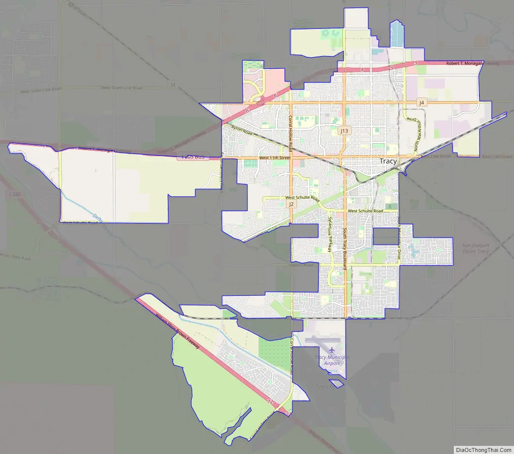
Tracy Road Map
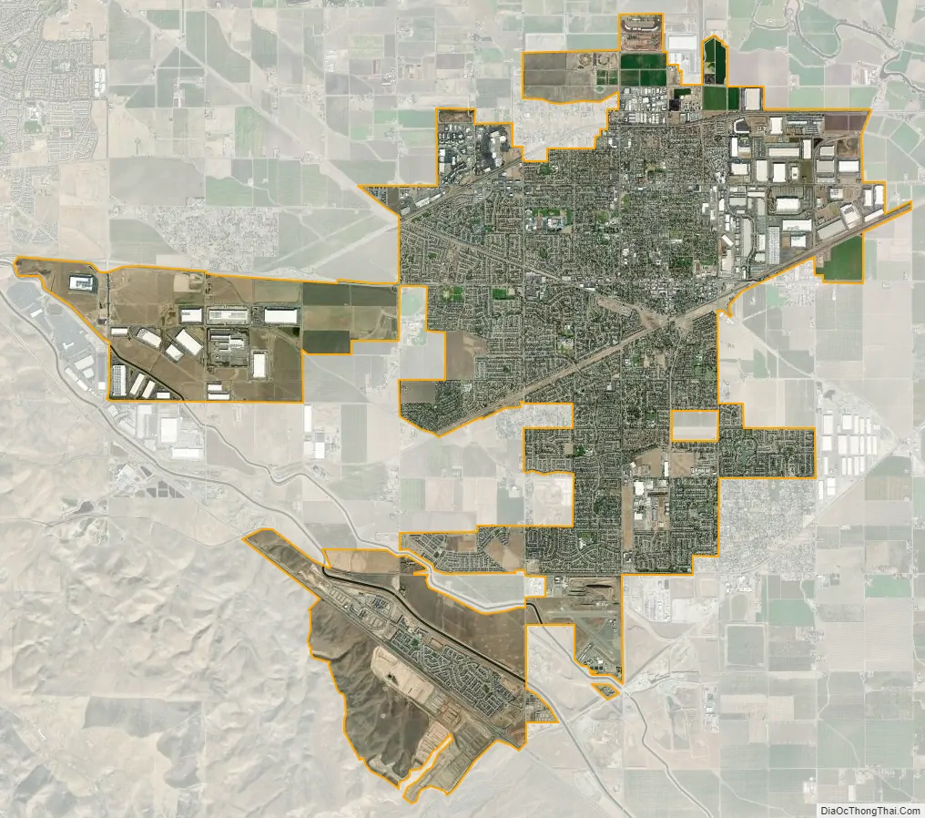
Tracy city Satellite Map
Geography
Located in the Central Valley, Tracy is near both fertile and (due to a region of hills west of Tracy) infertile agricultural lands. Tracy has a Mediterranean climate.
Some of this land (in the east and mostly north of Tracy because of the moist Delta river system) has come under increasing development pressure. The San Francisco Bay Area’s vigorous population growth has spilled over into the Tracy area as well as other locations, such as the new town of Mountain House. Tracy passed Measure A in 1990 in an attempt to contain and limit development.
In an effort to reduce environmental impacts of the city, it launched the Emerald Tracy Project in September 2009. City spokesman Matt Robinson said that if it succeeds, Tracy will be the second city after Riverside, California to satisfy the state’s goal for sustainable communities.
Tire fire, south of Tracy
On August 7, 1998, a tire fire ignited at S.F. Royster’s Tire Disposal south of Tracy at 29425 South MacArthur Drive, near Linne Road. The tire dump held more than 7 million illegally stored tires and was allowed to burn for over two years before it was extinguished. Allowing the fire to burn was considered to be a better way to avoid groundwater contamination than putting it out. The cleanup of chemicals released by the fire cost $16.2 million. The chemicals were found to have contaminated groundwater in the region.
Climate
Tracy is marked by a semi-arid climate (Köppen BSh), with cool, moist winters and very hot and dry summers, displaying Mediterranean characteristics. December and January are the coolest months, and average around 47.1 °F (8.4 °C), and there are 19 nights with lows at or below freezing annually, with the coldest night of the year typically bottoming out below 30 °F (−1.1 °C). July is the warmest month, averaging 76.4 °F (28.3 °C); normally, there are 18 days of 100 °F (37.8 °C)+ highs and 82 days of 90 °F (32.2 °C)+ highs. Average annual precipitation is around 12.5 inches (317.7 mm), which, by definition, results in the area being classified as a semi-desert.
See also
Map of California State and its subdivision:- Alameda
- Alpine
- Amador
- Butte
- Calaveras
- Colusa
- Contra Costa
- Del Norte
- El Dorado
- Fresno
- Glenn
- Humboldt
- Imperial
- Inyo
- Kern
- Kings
- Lake
- Lassen
- Los Angeles
- Madera
- Marin
- Mariposa
- Mendocino
- Merced
- Modoc
- Mono
- Monterey
- Napa
- Nevada
- Orange
- Placer
- Plumas
- Riverside
- Sacramento
- San Benito
- San Bernardino
- San Diego
- San Francisco
- San Joaquin
- San Luis Obispo
- San Mateo
- Santa Barbara
- Santa Clara
- Santa Cruz
- Shasta
- Sierra
- Siskiyou
- Solano
- Sonoma
- Stanislaus
- Sutter
- Tehama
- Trinity
- Tulare
- Tuolumne
- Ventura
- Yolo
- Yuba
- Alabama
- Alaska
- Arizona
- Arkansas
- California
- Colorado
- Connecticut
- Delaware
- District of Columbia
- Florida
- Georgia
- Hawaii
- Idaho
- Illinois
- Indiana
- Iowa
- Kansas
- Kentucky
- Louisiana
- Maine
- Maryland
- Massachusetts
- Michigan
- Minnesota
- Mississippi
- Missouri
- Montana
- Nebraska
- Nevada
- New Hampshire
- New Jersey
- New Mexico
- New York
- North Carolina
- North Dakota
- Ohio
- Oklahoma
- Oregon
- Pennsylvania
- Rhode Island
- South Carolina
- South Dakota
- Tennessee
- Texas
- Utah
- Vermont
- Virginia
- Washington
- West Virginia
- Wisconsin
- Wyoming