Stockton is a city in and the county seat of San Joaquin County in the Central Valley of the U.S. state of California. Stockton is the largest city in the county, the 11th largest city in California and the 58th largest city in the United States. Stockton’s population in 2020 was 320,804. It was named an All-America City in 1999, 2004, 2015, and again in 2017. The city is located on the San Joaquin River in the northern San Joaquin Valley.
Stockton was founded by Carlos Maria Weber in 1849 after he acquired Rancho Campo de los Franceses. The city is named after Robert F. Stockton, and it was the first community in California to have a name not of Spanish or Native American origin.
Built during the California Gold Rush, Stockton’s seaport serves as a gateway to the Central Valley and beyond. It provided easy access for trade and transportation to the southern gold mines. The University of the Pacific (UOP), chartered in 1851, is the oldest university in California, and has been located in Stockton since 1923. In 2012, Stockton filed for what was then the largest municipal bankruptcy in US history – which had multiple causes, including financial mismanagement in the 1990s, generous fringe benefits to unionized city employees, and the 2008 financial crisis. Stockton successfully exited bankruptcy in February 2015.
| Name: | Stockton city |
|---|---|
| LSAD Code: | 25 |
| LSAD Description: | city (suffix) |
| State: | California |
| County: | San Joaquin County |
| Incorporated: | July 23, 1850 |
| Elevation: | 13 ft (4 m) |
| Land Area: | 62.17 sq mi (161.02 km²) |
| Water Area: | 3.08 sq mi (7.99 km²) 4.76% |
| Population Density: | 4,900/sq mi (1,900/km²) |
| ZIP code: | 95201–95213, 95215, 95219, 95267, 95269, 95296–95297 |
| Area code: | 209 |
| FIPS code: | 0675000 |
| Website: | www.stocktongov.com |
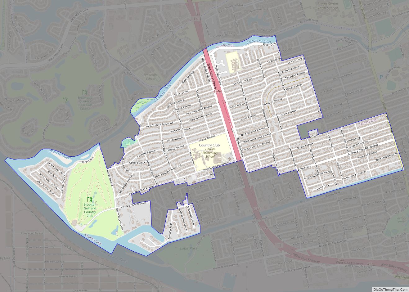
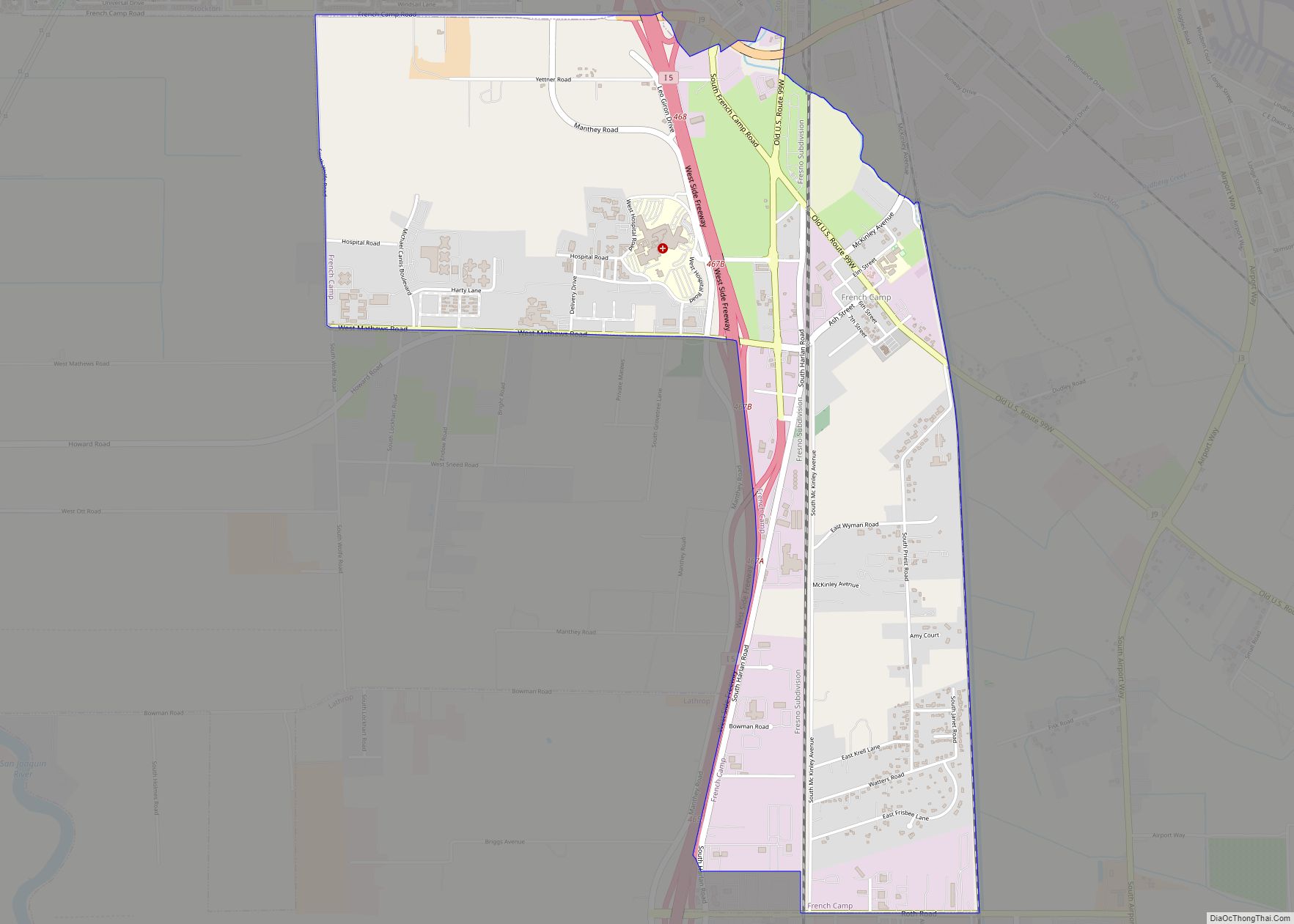
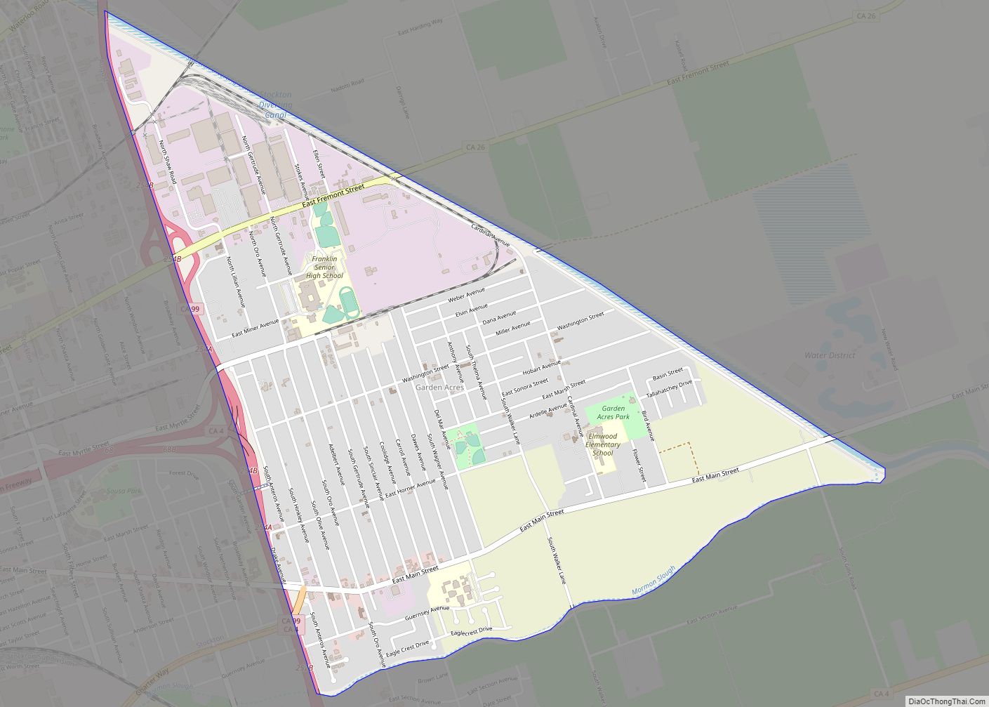
Online Interactive Map
Click on ![]() to view map in "full screen" mode.
to view map in "full screen" mode.
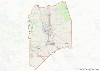
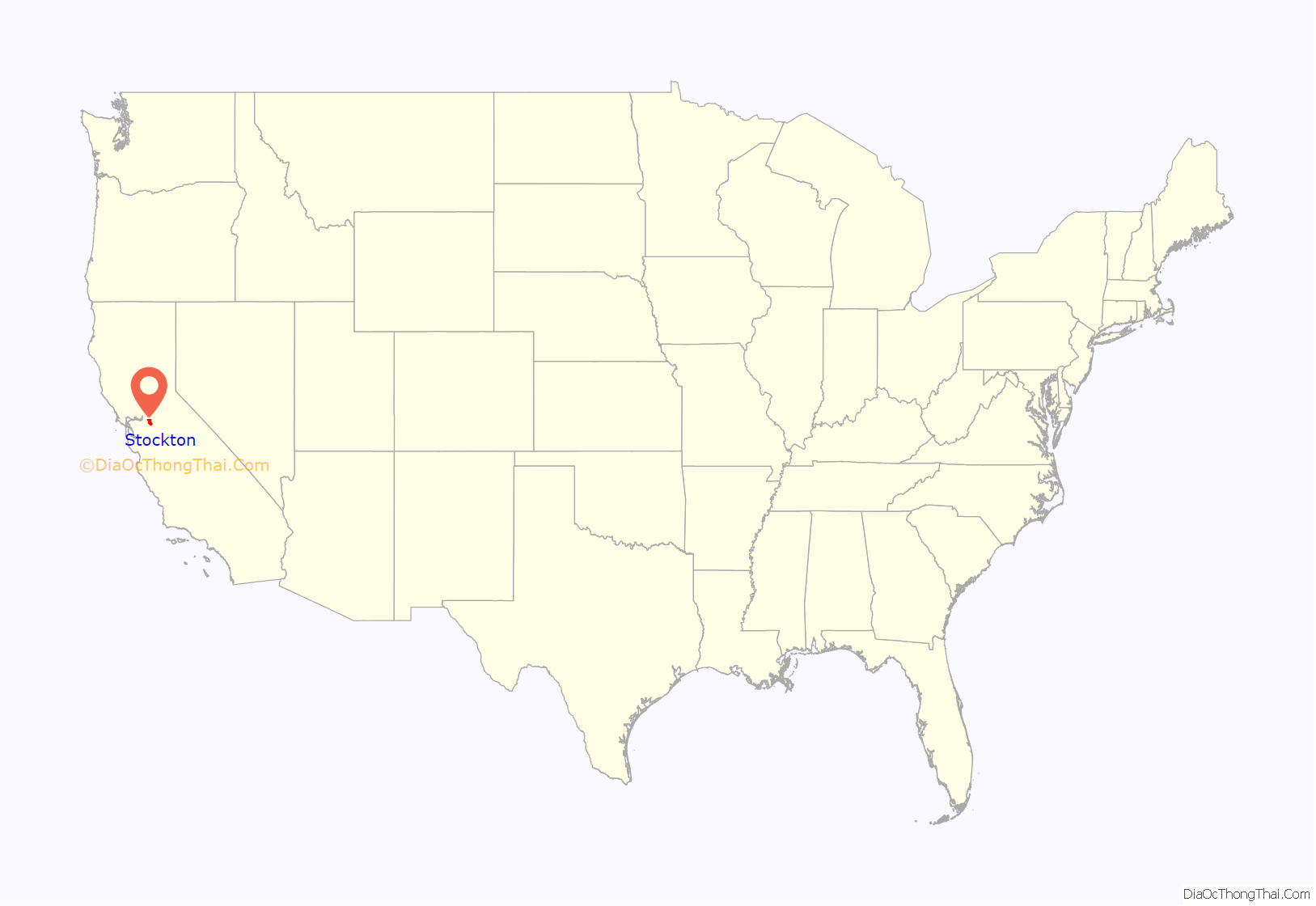
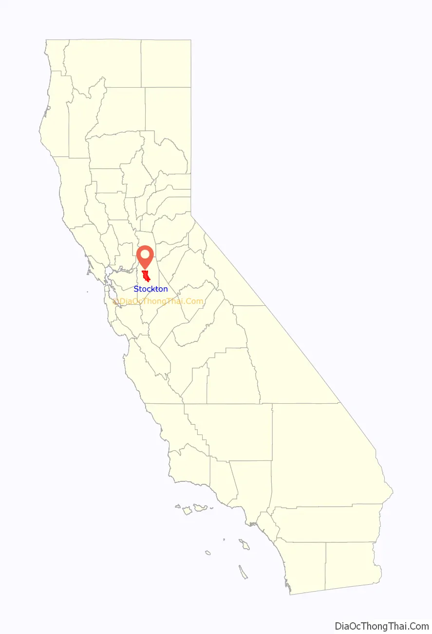
Stockton location map. Where is Stockton city?
History
When Europeans first arrived in the Stockton area, it was occupied by the Yatchicumne, a branch of the Northern Valley Yokuts Indians. They built their villages on low mounds to keep their homes above regular floods. A Yokuts village named Pasasimas was located on a mound between Edison and Harrison Streets on what is now the Stockton Channel in downtown Stockton.
The Siskiyou Trail began in the northern San Joaquin Valley. It was a centuries-old Native American footpath that led through the Sacramento Valley over the Cascades and into present-day Oregon.
The extensive network of waterways in and around Stockton was fished and navigated by Miwok Indians for centuries. During the California Gold Rush, the San Joaquin River was navigable by ocean-going vessels, making Stockton a natural inland seaport and point of supply and departure for prospective gold-miners. From the mid-19th century onward, Stockton became the region’s transportation hub, dealing mainly with agricultural products.
19th century
Carlos Maria Weber was a German émigré in the United States in 1836. He was born Karl and then went by Charles in the United States, spending time in Texas. He then came overland from Missouri to California with the Bartleson-Bidwell Party in 1841 and began to go by Carlos, when he began working for John Sutter. In 1842 Weber settled in the Pueblo of San José.
As an alien, Weber could not secure a land grant directly, so he formed a partnership with Guillermo (William) Gulnac. Born in New York, Gulnac had married a Mexican woman and sworn allegiance to Mexico, which then ruled California. He applied in Weber’s place for Rancho Campo de los Franceses, a land grant of 11 square leagues on the east side of the San Joaquin River.
Gulnac and Weber dissolved their partnership in 1843. Gulnac’s attempts to settle the Rancho Campo de los Franceses failed, and Weber acquired it in 1845. In 1846 Weber had induced a number of settlers to locate on the rancho, when the Mexican–American War broke out. Considered a Californio, Weber was offered the position of captain by Mexican Gen. José Castro, which he declined; he later, however, accepted the position of captain in the Cavalry of the United States. Capt. Weber’s decision to change sides lost him a great deal of the trust he had built up among his Mexican business partners. As a result, he moved to the grant in 1847 and sold his business in San Jose in 1849.
At the start of the California Gold Rush in 1848, Europeans and Americans started to arrive in the area of Weber’s rancho on their way to the goldfields. When Weber decided to try his hand at gold mining in late 1848, he soon found selling supplies to gold-seekers was more profitable.
As the head of navigation on the San Joaquin River, the city grew rapidly as a miners’ supply point during the Gold Rush. Weber built the first permanent residence in the San Joaquin Valley on a piece of land now known as Weber Point. During the Gold Rush, the location of what is now Stockton developed as a river port, the hub of roads to the gold settlements in the San Joaquin Valley and northern terminus of the Stockton – Los Angeles Road. During its early years, Stockton was known by several names, including “Weberville,” “Fat City,” “Mudville” and “California’s Sunrise Seaport.” In 1849 Weber laid out a town, which he named “Tuleburg,” but he soon decided on “Stockton” in honor of Commodore Robert F. Stockton. Stockton was the first community in California to have a name that was neither Spanish nor Native American in origin.
Thousands of Chinese came to Stockton from the Kwangtung province of China during the 1850s due to a combination of political and economic unrest in China and the discovery of gold in California. After the gold rush, many worked for the railroads and land reclamation projects in the Sacramento–San Joaquin River Delta and remained in Stockton. By 1880 Stockton was home to the third-largest Chinese community in California. Discriminatory laws, in particular the Chinese Exclusion Act of 1882, restricted immigration and prevented the Chinese from buying property. The Lincoln Hotel, built in 1920 by the Wong brothers on South El Dorado Street, was considered one of Stockton’s finest hotels of the time. Only after the Magnuson Act was repealed in 1962 were American-born Chinese allowed to buy property and own buildings.
The city was officially incorporated on July 23, 1850, by the county court, and the first city election was held on July 31, 1850. In 1851 the City of Stockton received its charter from the State of California. Early settlers included gold seekers from Asia, Africa, Australia, Europe, the Pacific Islands, Mexico and Canada. The historical population diversity is reflected in Stockton street names, architecture, numerous ethnic festivals and the faces and heritage of a majority of its citizens. In 1870 the Census Bureau reported Stockton’s population as 87.6% white and 10.7% Asian. Many Chinese were immigrating to California as workers in these years, especially for the Transcontinental Railroad.
Benjamin Holt settled in Stockton in 1883 and with his three brothers founded the Stockton Wheel Co., and later the Holt Manufacturing Company.
20th century
On Thanksgiving Day, November 24, 1904, Holt successfully tested the first workable track-laying machine, plowing soggy San Joaquin Valley Delta farmland. Company photographer Charles Clements was reported to have observed that the tractor crawled like a caterpillar, and Holt seized on the metaphor. “Caterpillar it is. That’s the name for it.”
On April 22, 1918, British Army Col. Ernest Dunlop Swinton visited Stockton while on a tour of the United States. The British and French armies were using many hundreds of Holt tractors to haul heavy guns and supplies during World War I, and Swinton publicly thanked Holt and his workforce for their contribution to the war effort. During 1914 and 1915, Swinton had advocated basing some sort of armored fighting vehicle on Holt’s caterpillar tractors, but without success (although Britain did develop tanks, they came from a separate source and were not directly derived from Holt machines). After the appearance of tanks on the battlefield, Holt built a prototype, the gas-electric tank, but it did not enter production.
On January 10, 1920, a major fire on Main Street threatened an entire city block. At about 2 a.m., a blaze was discovered in the basement of the Yost-Dohrmann store, which was gutted, and adjacent businesses were damaged by flames and water. Damage was estimated at $150,000.
By 1931, the Stockton Electric Railroad Co. operated 40 streetcars over 28 miles (45 km) of track.
Stockton is the site of the first Sikh temple in the United States; Gurdwara Sahib Stockton opened on October 24, 1912. It was founded by Baba Jawala Singh and Baba Wasakha Singh, successful Punjabi immigrants who farmed and owned 500 acres (202 ha) on the Holt River.
In 1933, the port was modernized, and the Stockton Deepwater Channel, which improved water passage to San Francisco Bay, was deepened and completed. This created commercial opportunities that fueled the city’s growth. Ruff and Ready Island Naval Supply Depot was established, placing Stockton in a strategic position during the Cold War. During the Great Depression the town’s canning industry became the battleground of a labor dispute resulting in the Spinach Riot of 1937.
During World War II, the Stockton Assembly Center was built on the San Joaquin County Fairgrounds, a few blocks from what was then the city center. One of 15 temporary detention sites run by the Wartime Civilian Control Administration, the center held some 4,200 Japanese-Americans removed from their West Coast homes under Executive Order 9066, while they waited for transfer to more permanent and isolated camps in the interior of the country. The center opened on May 10, 1942, and operated until October 17, when the majority of its population was sent to Rohwer, Arkansas. The former incarceration site was named a California Historical Landmark in 1980, and in 1984 a marker was erected at the entrance to the fairgrounds.
In 1979, the development of a residential area in Stockton at a burial ground of the tribe unearthed two hundred Miwok remains. In an attempt to prevent the further desecration of the burial grounds, a descendant of the people initiated a legal case which became Wana the Bear v. Community Construction (1982). The decision ultimately sided with the development company, which was heavily criticized by Native Americans as a display of ethnocentrism.
In September 1996, the Base Realignment and Closure Commission announced the final closure of Stockton’s Naval Reserve Center on Rough and Ready Island. Formerly known as Ruff and Ready Island Naval Supply Depot, the island’s facilities had served as a major communications outpost for submarine activities in the Pacific during the Cold War. The site is slowly being redeveloped as commercial property.
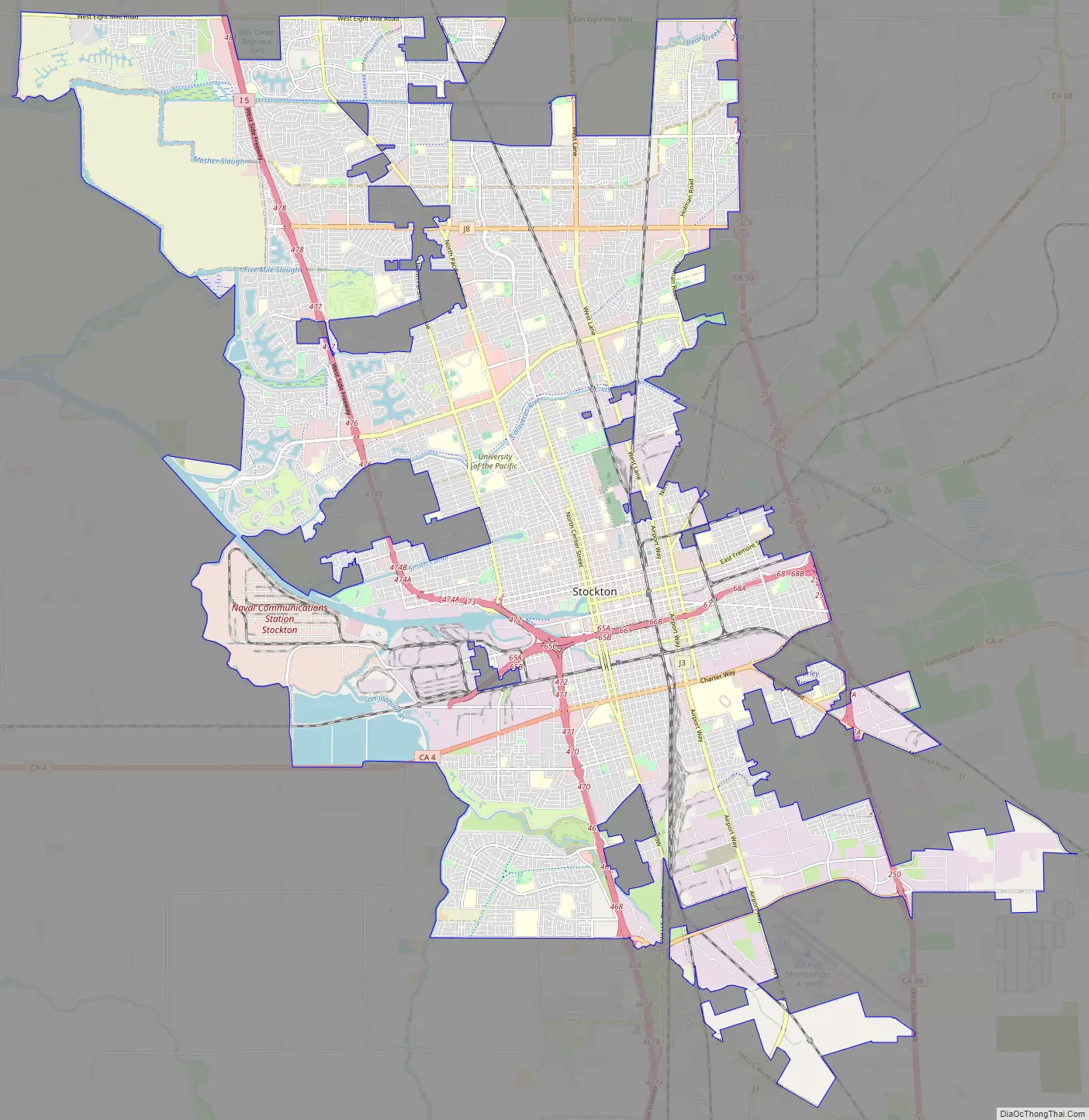
Stockton Road Map
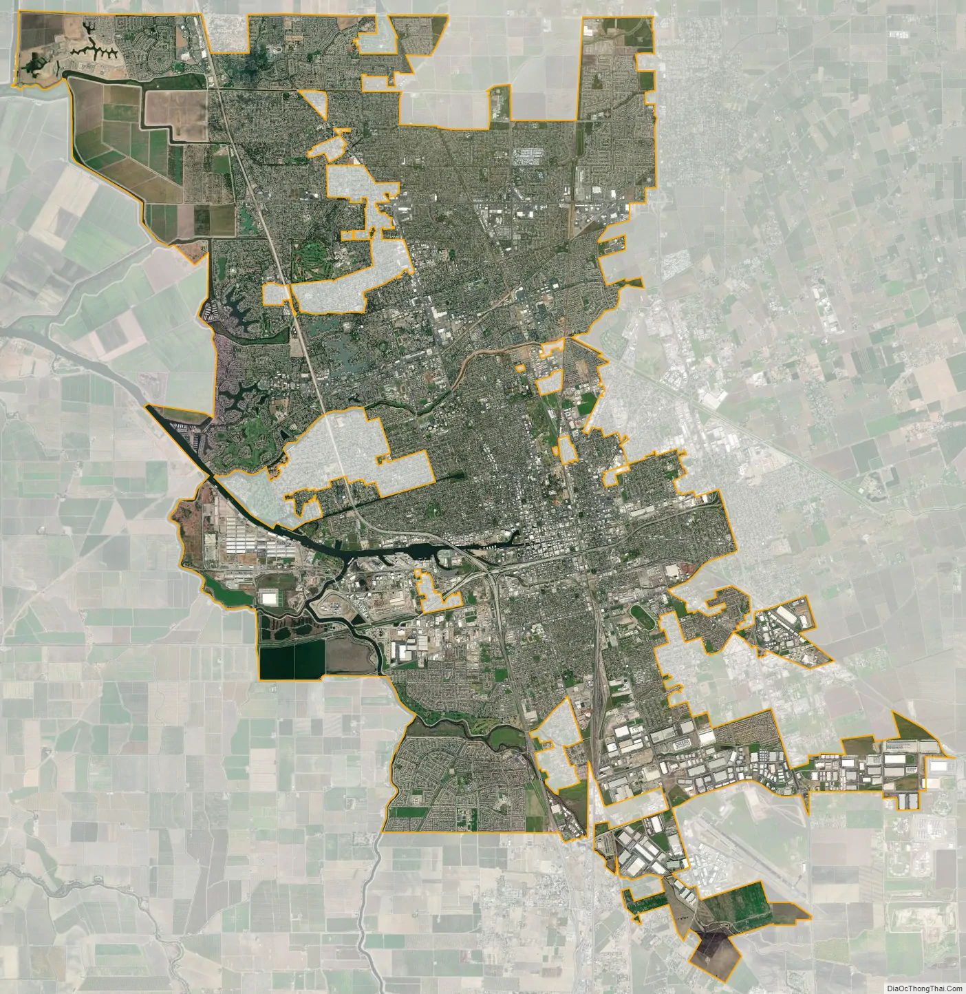
Stockton city Satellite Map
Geography
Stockton is situated amidst the farmland of California’s San Joaquin Valley, a subregion of the Central Valley. In and around Stockton are thousands of miles of waterways that make up the California Delta.
Interstate 5 and State Route 99, inland California’s major north–south highways, pass through the city. State Route 4 and the dredged San Joaquin River connect the city with the San Francisco Bay Area to its west, creating the Stockton Deepwater Shipping Channel. Stockton and Sacramento are California’s only inland sea ports.
According to the United States Census Bureau, the city occupies a total area of 64.8 square miles (168 km), of which 61.7 square miles (160 km) is land and 3.1 square miles (8.0 km), comprising 4.76%, is water.
See also
Map of California State and its subdivision:- Alameda
- Alpine
- Amador
- Butte
- Calaveras
- Colusa
- Contra Costa
- Del Norte
- El Dorado
- Fresno
- Glenn
- Humboldt
- Imperial
- Inyo
- Kern
- Kings
- Lake
- Lassen
- Los Angeles
- Madera
- Marin
- Mariposa
- Mendocino
- Merced
- Modoc
- Mono
- Monterey
- Napa
- Nevada
- Orange
- Placer
- Plumas
- Riverside
- Sacramento
- San Benito
- San Bernardino
- San Diego
- San Francisco
- San Joaquin
- San Luis Obispo
- San Mateo
- Santa Barbara
- Santa Clara
- Santa Cruz
- Shasta
- Sierra
- Siskiyou
- Solano
- Sonoma
- Stanislaus
- Sutter
- Tehama
- Trinity
- Tulare
- Tuolumne
- Ventura
- Yolo
- Yuba
- Alabama
- Alaska
- Arizona
- Arkansas
- California
- Colorado
- Connecticut
- Delaware
- District of Columbia
- Florida
- Georgia
- Hawaii
- Idaho
- Illinois
- Indiana
- Iowa
- Kansas
- Kentucky
- Louisiana
- Maine
- Maryland
- Massachusetts
- Michigan
- Minnesota
- Mississippi
- Missouri
- Montana
- Nebraska
- Nevada
- New Hampshire
- New Jersey
- New Mexico
- New York
- North Carolina
- North Dakota
- Ohio
- Oklahoma
- Oregon
- Pennsylvania
- Rhode Island
- South Carolina
- South Dakota
- Tennessee
- Texas
- Utah
- Vermont
- Virginia
- Washington
- West Virginia
- Wisconsin
- Wyoming