Cameron is a census-designated place (CDP) in and the parish seat of Cameron Parish, Louisiana, United States. It is part of the Lake Charles Metropolitan Statistical Area. After sustaining extreme damage from Hurricane Rita in 2005 and Hurricane Ike in 2008, in the 2010 Census Cameron was recorded as having a population of only 406, a 79% drop since 2000.
| Name: | Cameron CDP |
|---|---|
| LSAD Code: | 57 |
| LSAD Description: | CDP (suffix) |
| State: | Louisiana |
| County: | Cameron Parish |
| Elevation: | 3 ft (0.9 m) |
| Total Area: | 12.60 sq mi (32.64 km²) |
| Land Area: | 11.43 sq mi (29.60 km²) |
| Water Area: | 1.17 sq mi (3.04 km²) |
| Total Population: | 315 |
| Population Density: | 27.57/sq mi (10.64/km²) |
| Area code: | 337 |
| FIPS code: | 2212000 |
Online Interactive Map
Click on ![]() to view map in "full screen" mode.
to view map in "full screen" mode.
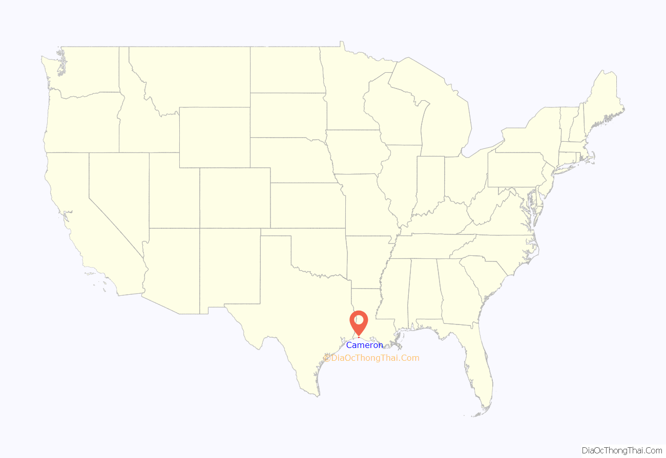
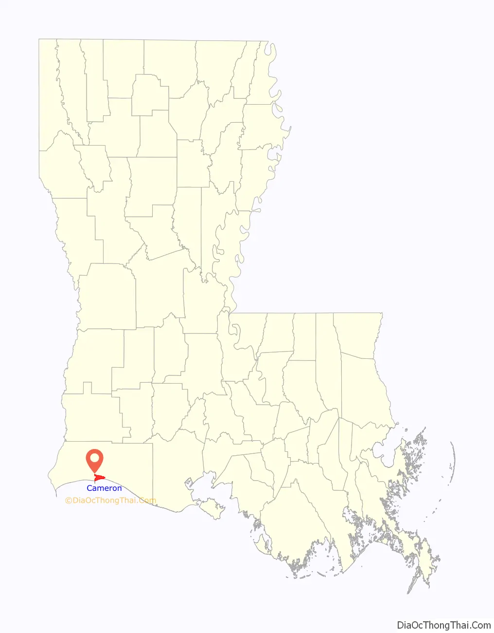
Cameron location map. Where is Cameron CDP?
History
The town of Cameron was originally called Leesburg, although the post office was designated Cameron, like the parish. Its location at the mouth of the Calcasieu River made it a transhipment location for mail, cattle, and other goods to be taken by ship to Lake Charles. After the sinking of the first successful oil well in Louisiana in 1901, Cameron became a center of petroleum extraction.
In 1957, Cameron was nearly destroyed by Hurricane Audrey. A storm surge of 12 feet (3.7 m) and winds of 125 miles per hour (201 km/h) devastated nearby oilfields and caused the deaths of more than 300 residents of the town.
Nearly fifty years later, in late September 2005, Hurricane Rita hit Cameron with 120-mile-per-hour (190 km/h) winds and the highest storm surges ever recorded in the state, 17.8 feet (5.4 m) at Cameron and possibly 18 feet (5.5 m) in some locations. Much of the town was destroyed, but everyone had evacuated beforehand.
On September 13, 2008, Hurricane Ike leveled Cameron with a 12-foot (3.7 m) storm surge while the town was still recovering from Rita in 2005. Ike destroyed more than 90 percent of the homes in the parish seat and caused catastrophic flooding in every part of the parish.
After Rita and Ike, the parish instituted stricter building codes, and insurance rates rose dramatically, making rebuilding too expensive for many residents. The population of Cameron fell 79 percent between 2000 and 2010. By 2010, when the First Baptist Church was rebuilt, the town had lost its grocery stores and drug store and had only a gas station and a bank, and the post office and a restaurant, both housed in trailers. Most residents were still living in mobile homes. The main parish library, destroyed by Rita and again by Ike, was rebuilt on tall stilts; South Cameron Memorial Hospital, destroyed by Rita, was also rebuilt to withstand tropical storms. A new government complex was completed in 2015 but repairs to the parish courthouse were still needed.
On August 27, 2020, at 1:00 am CDT, Hurricane Laura made landfall near Cameron with maximum sustained winds of 150 miles per hour (240 km/h), a category 4 storm on the Saffir-Simpson Hurricane Wind Scale. A storm surge measured between 9 and 12 feet inundated the immediate areas surrounding Cameron according to Louisiana Governor John Bel Edwards. Much of the town was again destroyed or severely damaged, including the hospital.
Six weeks later, Hurricane Delta made landfall not too far east of Cameron as a category 2 storm. It caused further damage following Laura. Clean up from Laura was paused in preparation for Delta.
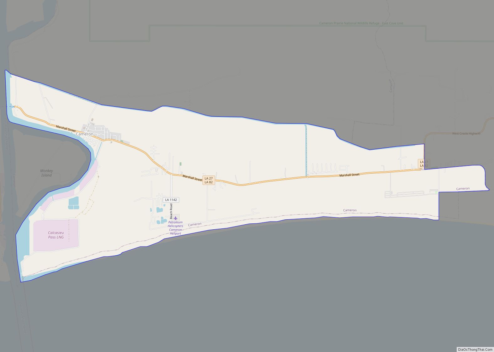
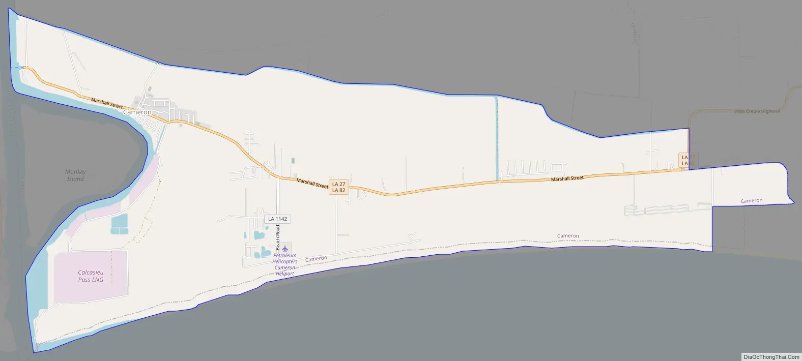
Cameron Road Map
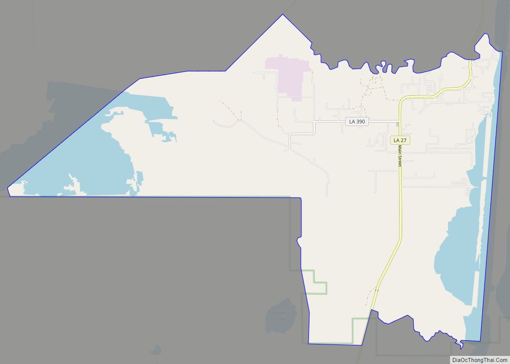
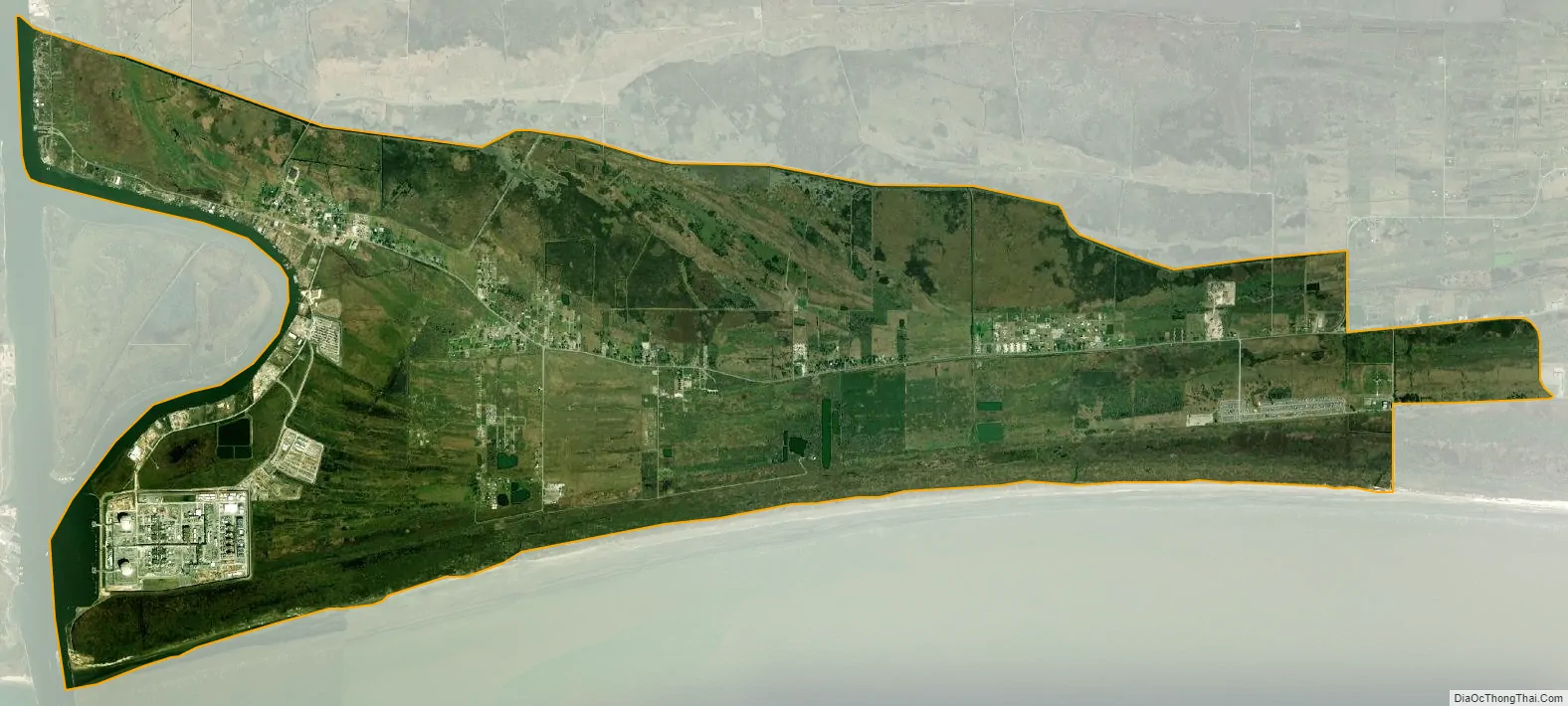
Cameron city Satellite Map
Geography
Cameron is located in south-central Cameron Parish at 29°47′17″N 93°18′42″W / 29.78806°N 93.31167°W / 29.78806; -93.31167 (29.788055, -93.311764), along the Gulf of Mexico at an elevation of 4 feet (1.2 m) above sea level. State highways 27 and 82 pass through the community as Marshall Street, crossing the Calcasieu Ship Channel just west of town. Highway 82 leads east 93 miles (150 km) to Abbeville and west 48 miles (77 km) to Port Arthur, Texas. Highway 27 leads west then north 48 miles (77 km) to Sulphur. Lake Charles is 52 miles (84 km) to the north.
According to the United States Census Bureau, the CDP has a total area of 12.6 square miles (32.6 km), of which 11.4 square miles (29.6 km) is land and 1.2 square miles (3.0 km), or 9.31%, is water.
Climate
See also
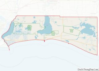
Map of Louisiana State and its subdivision:- Acadia
- Allen
- Ascension
- Assumption
- Avoyelles
- Beauregard
- Bienville
- Bossier
- Caddo
- Calcasieu
- Caldwell
- Cameron
- Catahoula
- Claiborne
- Concordia
- De Soto
- East Baton Rouge
- East Carroll
- East Feliciana
- Evangeline
- Franklin
- Grant
- Iberia
- Iberville
- Jackson
- Jefferson
- Jefferson Davis
- La Salle
- Lafayette
- Lafourche
- Lincoln
- Livingston
- Madison
- Morehouse
- Natchitoches
- Orleans
- Ouachita
- Plaquemines
- Pointe Coupee
- Rapides
- Red River
- Richland
- Sabine
- Saint Bernard
- Saint Charles
- Saint Helena
- Saint James
- Saint John the Baptist
- Saint Landry
- Saint Martin
- Saint Mary
- Saint Tammany
- Tangipahoa
- Tensas
- Terrebonne
- Union
- Vermilion
- Vernon
- Washington
- Webster
- West Baton Rouge
- West Carroll
- West Feliciana
- Winn
- Alabama
- Alaska
- Arizona
- Arkansas
- California
- Colorado
- Connecticut
- Delaware
- District of Columbia
- Florida
- Georgia
- Hawaii
- Idaho
- Illinois
- Indiana
- Iowa
- Kansas
- Kentucky
- Louisiana
- Maine
- Maryland
- Massachusetts
- Michigan
- Minnesota
- Mississippi
- Missouri
- Montana
- Nebraska
- Nevada
- New Hampshire
- New Jersey
- New Mexico
- New York
- North Carolina
- North Dakota
- Ohio
- Oklahoma
- Oregon
- Pennsylvania
- Rhode Island
- South Carolina
- South Dakota
- Tennessee
- Texas
- Utah
- Vermont
- Virginia
- Washington
- West Virginia
- Wisconsin
- Wyoming