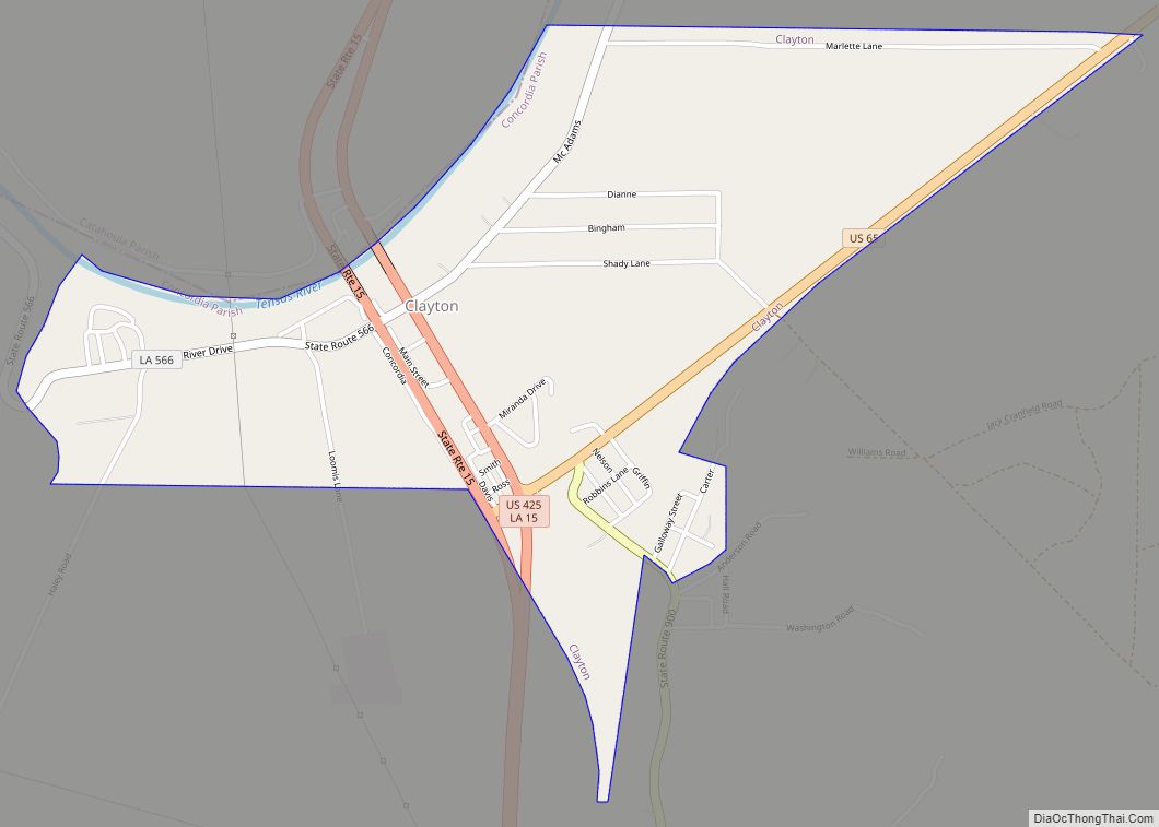
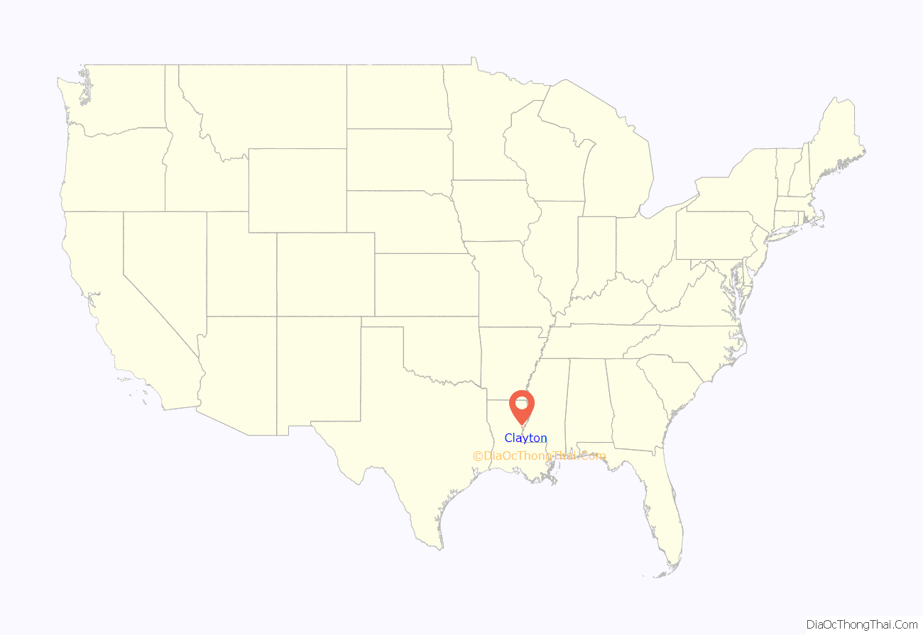
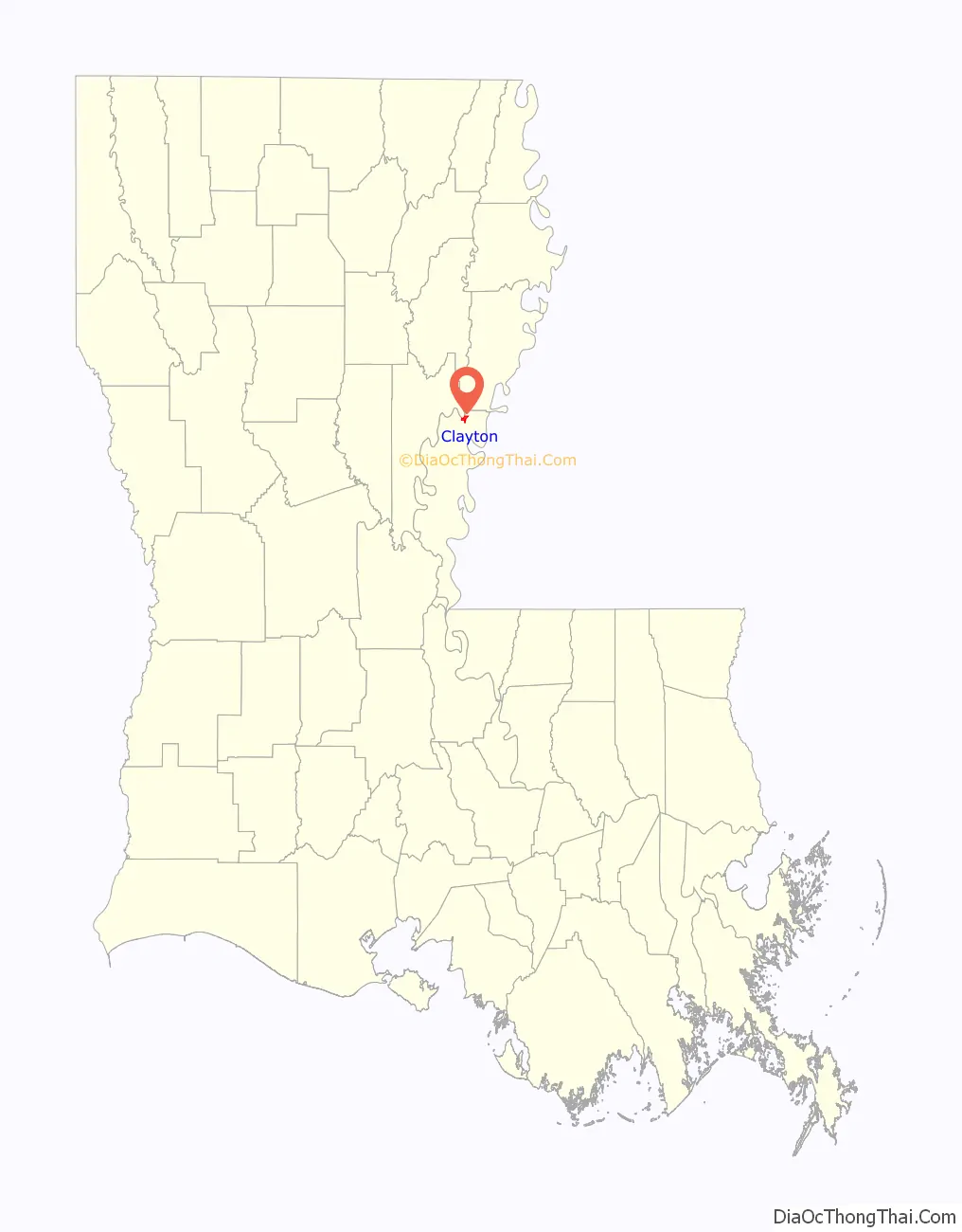
Clayton is a town in northern Concordia Parish, Louisiana, United States. The population was 711 at the 2010 census. Cotton is a principal commodity in the area. Clayton is located on the Tensas River, important for fishing and boating, promoted through a U.S. Army Corps of Engineers-maintained boat launch. The Tensas River merges with the Black River in Jonesville in Catahoula Parish.
Louisiana State Representative Andy Anders is from Clayton and Ferriday.
Among the businesses in the community are Cross Keys Bank and David’s Grocery.
A major employer in the town was Clayton Gin Company which closed in the early 2000s and was mostly demolished in the early 2010s. The Clayton Gin was originally constructed in the 1940s by W. Howard Davis and his brother Doyle E. Davis. The gin operated under the name “Davis Bros. Gin Co.”. The last surviving brother, Howard Davis, died in 1972 and the gin continued to operate under the management of his son-in-law Sam D. Cole until his death in 1979. The gin was sold in the early 1980s and continued operation as the “Clayton Gin Company” until the early 2000s.
| Name: | Clayton town |
|---|---|
| LSAD Code: | 43 |
| LSAD Description: | town (suffix) |
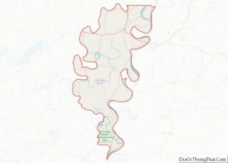
| State: | Louisiana |
| County: | Concordia Parish |
| Elevation: | 56 ft (17 m) |
| Total Area: | 1.64 sq mi (4.23 km²) |
| Land Area: | 1.58 sq mi (4.10 km²) |
| Water Area: | 0.05 sq mi (0.14 km²) |
| Total Population: | 584 |
| Population Density: | 369.15/sq mi (142.55/km²) |
| Area code: | 318 |
| FIPS code: | 2215850 |
Online Interactive Map
Click on ![]() to view map in "full screen" mode.
to view map in "full screen" mode.
Clayton location map. Where is Clayton town?
Clayton Road Map

Clayton city Satellite Map

Geography
Clayton is located in northern Concordia Parish at 31°43′8″N 91°32′20″W / 31.71889°N 91.53889°W / 31.71889; -91.53889 (31.718837, -91.538902), along the south bank of the Tensas River. Catahoula Parish is to the north across the river. U.S. Route 425 passes through the center of the town, leading north 36 miles (58 km) to Winnsboro and south 6 miles (10 km) to Ferriday and 18 miles (29 km) to Natchez, Mississippi. U.S. Route 65 has its southern terminus in Clayton; it leads north 56 miles (90 km) to Tallulah and 998 miles (1,606 km) to its northern terminus in Minnesota.
According to the United States Census Bureau, the town has a total area of 1.63 square miles (4.23 km), of which 1.58 square miles (4.10 km) is land and 0.05 square miles (0.14 km), or 3.24%, is water.
See also
Map of Louisiana State and its subdivision:- Acadia
- Allen
- Ascension
- Assumption
- Avoyelles
- Beauregard
- Bienville
- Bossier
- Caddo
- Calcasieu
- Caldwell
- Cameron
- Catahoula
- Claiborne
- Concordia
- De Soto
- East Baton Rouge
- East Carroll
- East Feliciana
- Evangeline
- Franklin
- Grant
- Iberia
- Iberville
- Jackson
- Jefferson
- Jefferson Davis
- La Salle
- Lafayette
- Lafourche
- Lincoln
- Livingston
- Madison
- Morehouse
- Natchitoches
- Orleans
- Ouachita
- Plaquemines
- Pointe Coupee
- Rapides
- Red River
- Richland
- Sabine
- Saint Bernard
- Saint Charles
- Saint Helena
- Saint James
- Saint John the Baptist
- Saint Landry
- Saint Martin
- Saint Mary
- Saint Tammany
- Tangipahoa
- Tensas
- Terrebonne
- Union
- Vermilion
- Vernon
- Washington
- Webster
- West Baton Rouge
- West Carroll
- West Feliciana
- Winn
- Alabama
- Alaska
- Arizona
- Arkansas
- California
- Colorado
- Connecticut
- Delaware
- District of Columbia
- Florida
- Georgia
- Hawaii
- Idaho
- Illinois
- Indiana
- Iowa
- Kansas
- Kentucky
- Louisiana
- Maine
- Maryland
- Massachusetts
- Michigan
- Minnesota
- Mississippi
- Missouri
- Montana
- Nebraska
- Nevada
- New Hampshire
- New Jersey
- New Mexico
- New York
- North Carolina
- North Dakota
- Ohio
- Oklahoma
- Oregon
- Pennsylvania
- Rhode Island
- South Carolina
- South Dakota
- Tennessee
- Texas
- Utah
- Vermont
- Virginia
- Washington
- West Virginia
- Wisconsin
- Wyoming