Kinder is a small town in Allen Parish, Louisiana, in the United States. The population was 2,477 at the 2010 census.
The Lieutenant Douglas B. Fournet Memorial Park, an American Legion enterprise, was dedicated on June 11, 1988, in Kinder to remember those who died in military service to the nation.
Kinder was the birthplace of the late Mayor J. Rayburn Bertrand of Lafayette, who served from 1960 to 1972 and presided over the near doubling of the municipal population.
Kinder is home to Coushatta Casino Resort, the largest casino resort in Louisiana. The resort includes Koasati Pines, an 18-hole par 72 championship layout golf course.
| Name: | Kinder town |
|---|---|
| LSAD Code: | 43 |
| LSAD Description: | town (suffix) |
| State: | Louisiana |
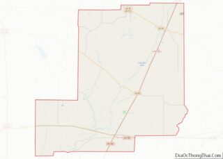
| County: | Allen Parish |
| Elevation: | 46 ft (14 m) |
| Total Area: | 5.53 sq mi (14.31 km²) |
| Land Area: | 5.53 sq mi (14.31 km²) |
| Water Area: | 0.00 sq mi (0.00 km²) |
| Total Population: | 2,170 |
| Population Density: | 392.76/sq mi (151.64/km²) |
| Area code: | 337 |
| FIPS code: | 2239755 |
| Website: | townofkinder.com |
Online Interactive Map
Click on ![]() to view map in "full screen" mode.
to view map in "full screen" mode.
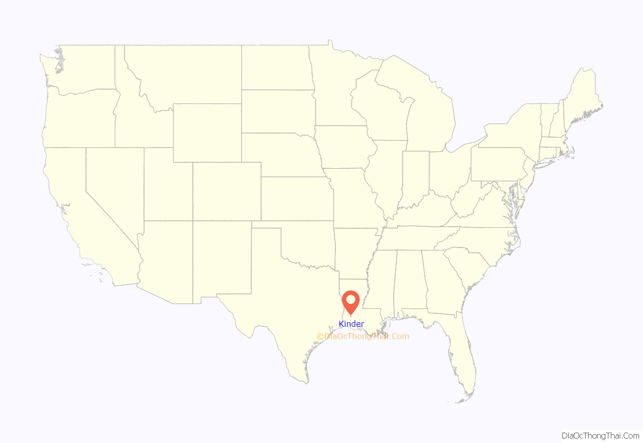
Kinder location map. Where is Kinder town?
History
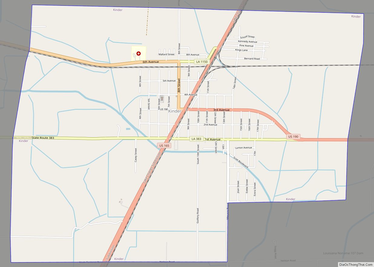
James A. Kinder, a Union soldier, went south during the Civil War and after the war, he returned to the state, settling first in Rapides Parish in 1870, then moving south to Kinder. He homesteaded a Soldier’s Land Grant of 138.77 acres (56.16 ha) and built a home and store where Highway 165 and Highway 190 now intersect. His customers called the store Kinder’s Store.
Jabez Bunting Watkins brought the Watkins, Kansas City and Gulf Railroad through Kinder, and purchased Kinder’s land in 1892. Kinder moved to Lake Charles.
After buying Kinder’s property, JB Watkins brought in a surveyor, John W. Rhorer, to make a plat and lay out town streets. In 1903, Louisiana Gov. William Heard issued a proclamation declaring the site the Village of Kinder.
Among the first families who came to Kinder, all employees of Watkins Enterprises, were Milton B. McRill, John M. Houston and Philetus Philbrick. McRill joined JB Watkins’ venture as a railroad contractor. His job was to build 100 miles (160 km) of railway from Alexandria to Lake Charles. McRill bought lots at the corner of Ninth Street and Fourth Avenue and built the first home in Kinder. McRill, who became one of the early mayors of Kinder, often provided lodging and meals for teachers because he believed strongly in education.
John M. Houston came south to serve as office manager and surveyor for the railroad Watkins was building. About 35 miles (56 km) before the railroad reached Lake Charles, Houston selected and purchased a tract of timber land. He built a sawmill and commissary on the tract north of Kinder, alongside the railroad, to enable him to ship logs to other states. Houston’s commissary became known as the “Houston spur”.
Philetus Philbrick came south from the University of Iowa, where he had helped set up the Department of Engineering and taught there for 14 years. It was Philbrick’s knowledge of railroading that brought him in contact with Watkins, then south to Kinder as a railroad surveyor. Philetus wrote to his brother Franklin, telling him of the available and fertile farmland. Franklin brought his family south and bought a farm north of Kinder. There was no school then, and the state would not furnish a teacher until the school had operated for three months. Franklin Philbrick opened the school and taught without pay in the small, rough-plank building.
Many other settlers came from the Midwestern states during the JB Watkins era of 1880 to 1900. At that time Watkins was spending enormous sums of money promoting his “Garden of Eden” in southwest Louisiana. Among the new settlers were families named Storer, Mayfield, Jones, Phelps, Mayes, Reynolds, Johnson, Harvey, Leeds and Oden.
By 1903, when Kinder officially became a village, other families had arrived. They included Patrick E. Moore, who was appointed the first mayor, and four men who became aldermen Dr. R.E. Oden, Fred Moore, Edoc Roza and J.W. Kingrey.
In 1911, Kinder had a population of 1,088, thereby entitling it to be classified as a town. Gov. Jared Young Sanders proclaimed Kinder a town on March 4, 1911.
The mayors from 1903 on were Patrick Moore, Jack Dempsey, Dr. R.E. Oden, W.C. McNann, M.B. McRill, Randall H. Odom, J. W. Kingrey, S.R. Kingrey, D.T. Slocum, W.D. Horn, William Marcantel, E.E. Migues, Percy LeLand, Lee St. Romain, Cledius LaFargue, Fred Ashy, for whom the municipal building is named, and Estes Ledoux.
Louisiana Maneuvers
Kinder was used as the headquarters for the Blue Army during the Louisiana Maneuvers preceding the United States entry into WWII. A roadside marker commemorates the occasion.
Kinder Road Map
Kinder city Satellite Map
Geography
Kinder is located at 30°29′12″N 92°50′48″W / 30.48667°N 92.84667°W / 30.48667; -92.84667 (30.486696, −92.846779).
According to the United States Census Bureau, the town has a total area of 5.5 square miles (14.3 km), all land.
See also
Map of Louisiana State and its subdivision:- Acadia
- Allen
- Ascension
- Assumption
- Avoyelles
- Beauregard
- Bienville
- Bossier
- Caddo
- Calcasieu
- Caldwell
- Cameron
- Catahoula
- Claiborne
- Concordia
- De Soto
- East Baton Rouge
- East Carroll
- East Feliciana
- Evangeline
- Franklin
- Grant
- Iberia
- Iberville
- Jackson
- Jefferson
- Jefferson Davis
- La Salle
- Lafayette
- Lafourche
- Lincoln
- Livingston
- Madison
- Morehouse
- Natchitoches
- Orleans
- Ouachita
- Plaquemines
- Pointe Coupee
- Rapides
- Red River
- Richland
- Sabine
- Saint Bernard
- Saint Charles
- Saint Helena
- Saint James
- Saint John the Baptist
- Saint Landry
- Saint Martin
- Saint Mary
- Saint Tammany
- Tangipahoa
- Tensas
- Terrebonne
- Union
- Vermilion
- Vernon
- Washington
- Webster
- West Baton Rouge
- West Carroll
- West Feliciana
- Winn
- Alabama
- Alaska
- Arizona
- Arkansas
- California
- Colorado
- Connecticut
- Delaware
- District of Columbia
- Florida
- Georgia
- Hawaii
- Idaho
- Illinois
- Indiana
- Iowa
- Kansas
- Kentucky
- Louisiana
- Maine
- Maryland
- Massachusetts
- Michigan
- Minnesota
- Mississippi
- Missouri
- Montana
- Nebraska
- Nevada
- New Hampshire
- New Jersey
- New Mexico
- New York
- North Carolina
- North Dakota
- Ohio
- Oklahoma
- Oregon
- Pennsylvania
- Rhode Island
- South Carolina
- South Dakota
- Tennessee
- Texas
- Utah
- Vermont
- Virginia
- Washington
- West Virginia
- Wisconsin
- Wyoming
