Pearl River is a town in St. Tammany Parish in the U.S. state of Louisiana. The population was 2,506 at the 2010 U.S. census, and 2,618 at the 2020 population estimates program. It is part of the New Orleans–Metairie–Kenner metropolitan statistical area.
| Name: | Pearl River town |
|---|---|
| LSAD Code: | 43 |
| LSAD Description: | town (suffix) |
| State: | Louisiana |
| County: | St. Tammany Parish |
| Elevation: | 26 ft (8 m) |
| Total Area: | 3.81 sq mi (9.86 km²) |
| Land Area: | 3.73 sq mi (9.67 km²) |
| Water Area: | 0.07 sq mi (0.19 km²) |
| Population Density: | 686.93/sq mi (265.20/km²) |
| Area code: | 985 |
| FIPS code: | 2259445 |
| Website: | pearlriverla.com |
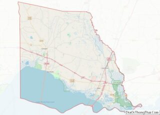
Online Interactive Map
Click on ![]() to view map in "full screen" mode.
to view map in "full screen" mode.
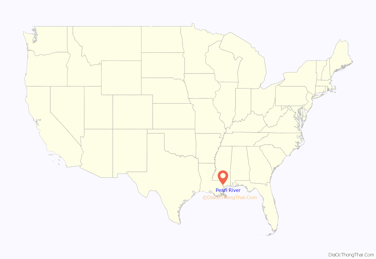
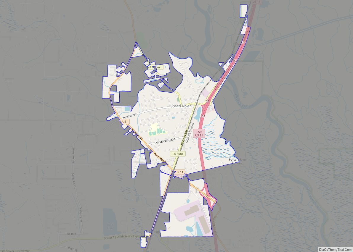
Pearl River location map. Where is Pearl River town?
History
The community that is today Pearl River was originally known as Halloo, a moniker it reputedly garnered from loggers yelling to one another as they labored along the nearby Pearl River. The town was founded in 1859. Early Halloo was a small railroad town, located at the junction of the Northeastern and Poitevent and Favre’s East Louisiana Railroads. In 1886 a train station was constructed at the site, and two years later Samuel Russ Poitevent (June 4, 1852 – June 3, 1904), established the first store in the village. The community’s name was first changed from Halloo (1859) to Pearl (1878), later to Pearlville (1881), and eventually Pearl River, in 1888, after the train station built in the town.
On July 13, 1898, the 200 citizens of Pearl River voted to petition the state of Louisiana for incorporation as the “Village of Pearl River”, a request which was granted nearly a decade later, on May 24, 1906, by governor Newton Crain Blanchard, with G.W. Fuller as the first mayor. The village slowly modernized over the course of the next half century, acquiring the land for a courthouse in 1935 and a town hall ten years later. Pearl River Junior High was opened in 1963, but the building was made into a police training academy in 2005. In 1964, the village insignia was replaced, as the newly minted “town” laid claim to 1,500 residents, a designation that lives on today, in the town of about 2,500.
Pearl River Road Map
Pearl River city Satellite Map
Geography
Pearl River is located at 30°22′16″N 89°45′4″W / 30.37111°N 89.75111°W / 30.37111; -89.75111 (30.371096, -89.751139), in southern Louisiana in the Greater New Orleans area. According to the United States Census Bureau, the town has a total area of 3.6 square miles (9.3 km), of which 3.5 square miles (9.0 km) is land and 0.1 square miles (0.2 km), or 2.27%, is water.
See also
Map of Louisiana State and its subdivision:- Acadia
- Allen
- Ascension
- Assumption
- Avoyelles
- Beauregard
- Bienville
- Bossier
- Caddo
- Calcasieu
- Caldwell
- Cameron
- Catahoula
- Claiborne
- Concordia
- De Soto
- East Baton Rouge
- East Carroll
- East Feliciana
- Evangeline
- Franklin
- Grant
- Iberia
- Iberville
- Jackson
- Jefferson
- Jefferson Davis
- La Salle
- Lafayette
- Lafourche
- Lincoln
- Livingston
- Madison
- Morehouse
- Natchitoches
- Orleans
- Ouachita
- Plaquemines
- Pointe Coupee
- Rapides
- Red River
- Richland
- Sabine
- Saint Bernard
- Saint Charles
- Saint Helena
- Saint James
- Saint John the Baptist
- Saint Landry
- Saint Martin
- Saint Mary
- Saint Tammany
- Tangipahoa
- Tensas
- Terrebonne
- Union
- Vermilion
- Vernon
- Washington
- Webster
- West Baton Rouge
- West Carroll
- West Feliciana
- Winn
- Alabama
- Alaska
- Arizona
- Arkansas
- California
- Colorado
- Connecticut
- Delaware
- District of Columbia
- Florida
- Georgia
- Hawaii
- Idaho
- Illinois
- Indiana
- Iowa
- Kansas
- Kentucky
- Louisiana
- Maine
- Maryland
- Massachusetts
- Michigan
- Minnesota
- Mississippi
- Missouri
- Montana
- Nebraska
- Nevada
- New Hampshire
- New Jersey
- New Mexico
- New York
- North Carolina
- North Dakota
- Ohio
- Oklahoma
- Oregon
- Pennsylvania
- Rhode Island
- South Carolina
- South Dakota
- Tennessee
- Texas
- Utah
- Vermont
- Virginia
- Washington
- West Virginia
- Wisconsin
- Wyoming
