Melville is a town in St. Landry Parish, Louisiana, United States. The population was 1,041 at the 2010 census. It is part of the Opelousas−Eunice Micropolitan Statistical Area. It was founded in 1889 and is known as the Atchafalaya River Catfish Capital of Louisiana.
| Name: | Melville town |
|---|---|
| LSAD Code: | 43 |
| LSAD Description: | town (suffix) |
| State: | Louisiana |
| County: | St. Landry Parish |
| Elevation: | 36 ft (11 m) |
| Total Area: | 1.29 sq mi (3.33 km²) |
| Land Area: | 1.26 sq mi (3.25 km²) |
| Water Area: | 0.03 sq mi (0.08 km²) |
| Total Population: | 759 |
| Population Density: | 604.30/sq mi (233.40/km²) |
| Area code: | 337 |
| FIPS code: | 2249730 |
| Website: | www.melvillela.com |
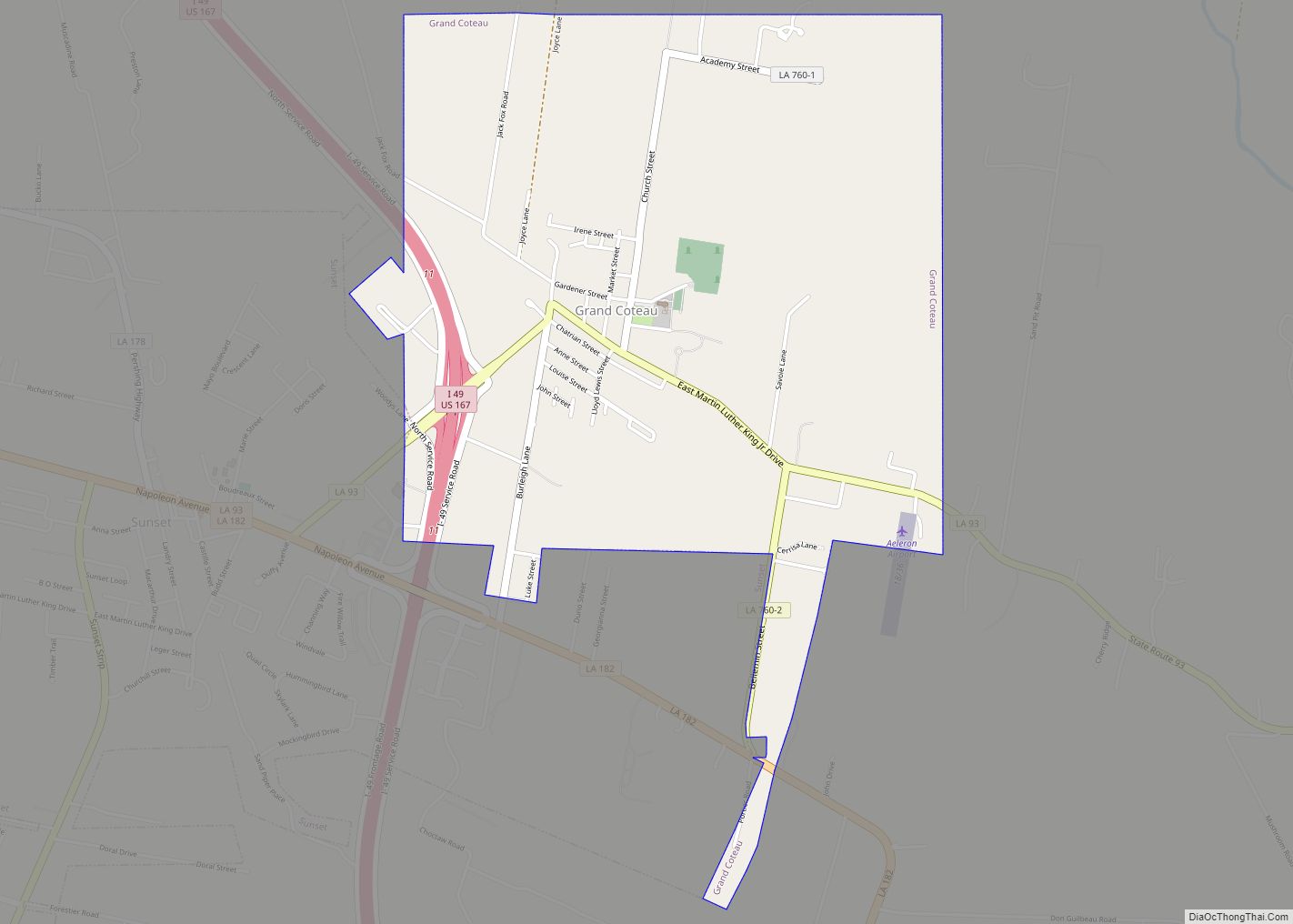
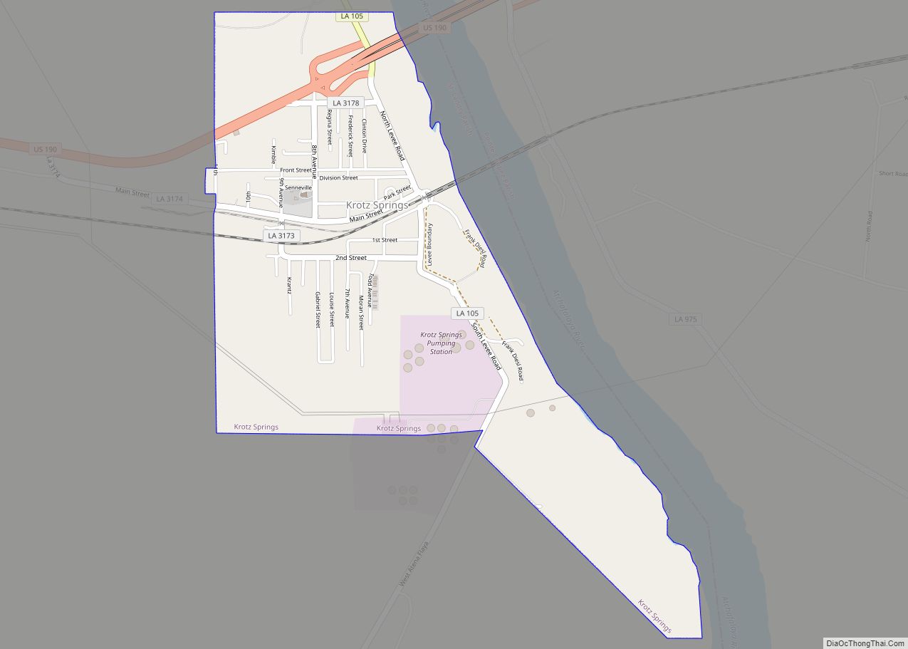
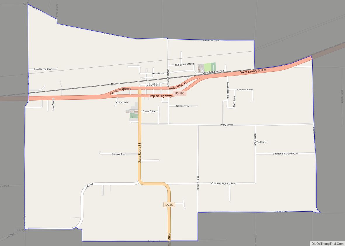
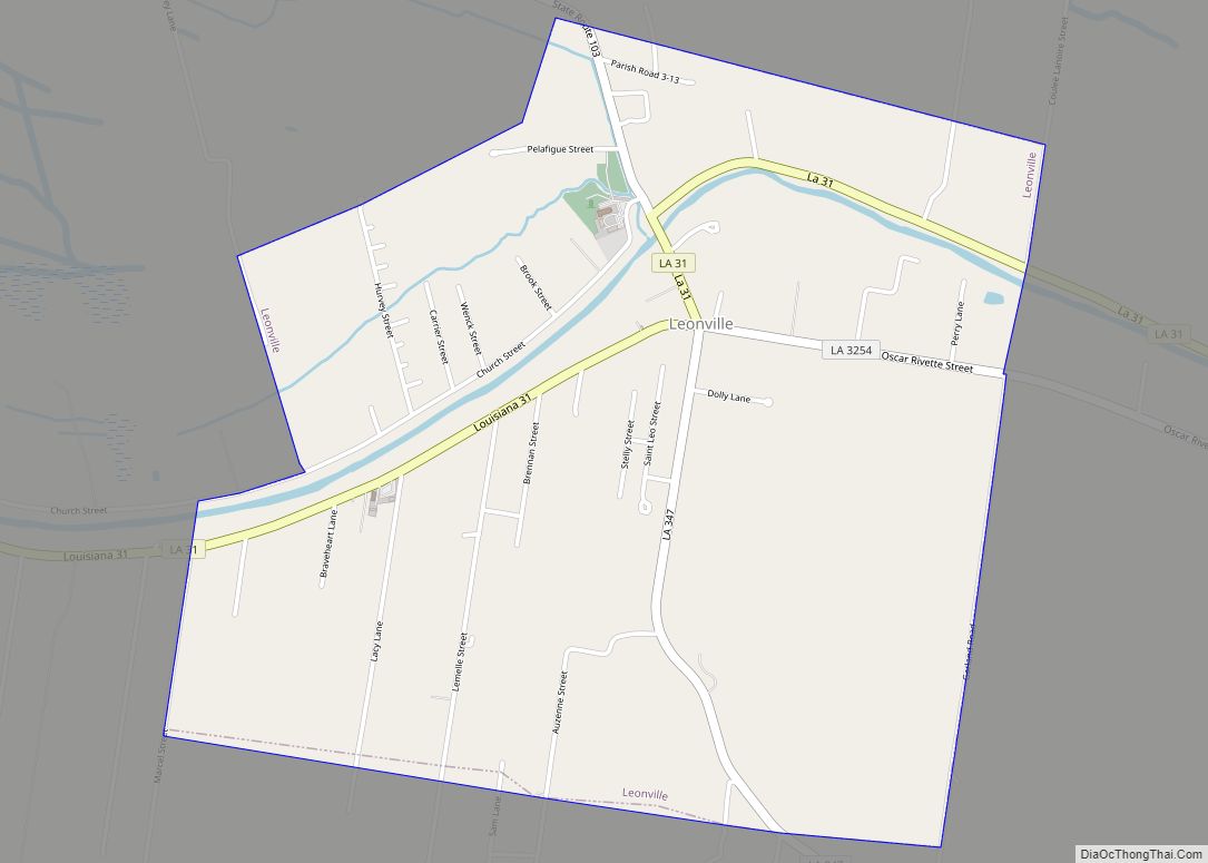
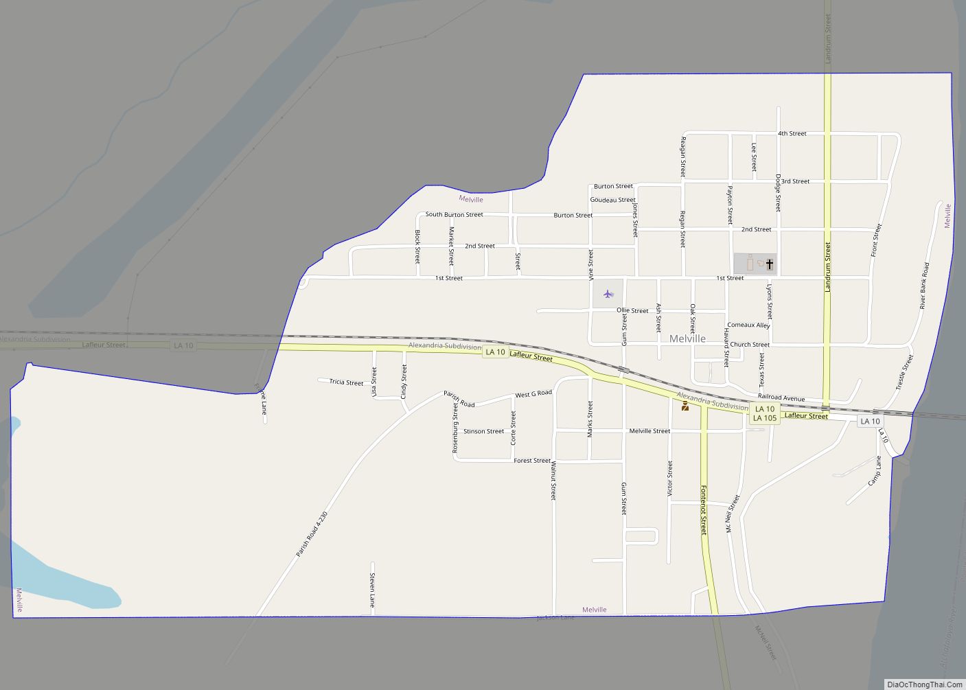
Online Interactive Map
Click on ![]() to view map in "full screen" mode.
to view map in "full screen" mode.
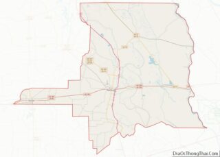
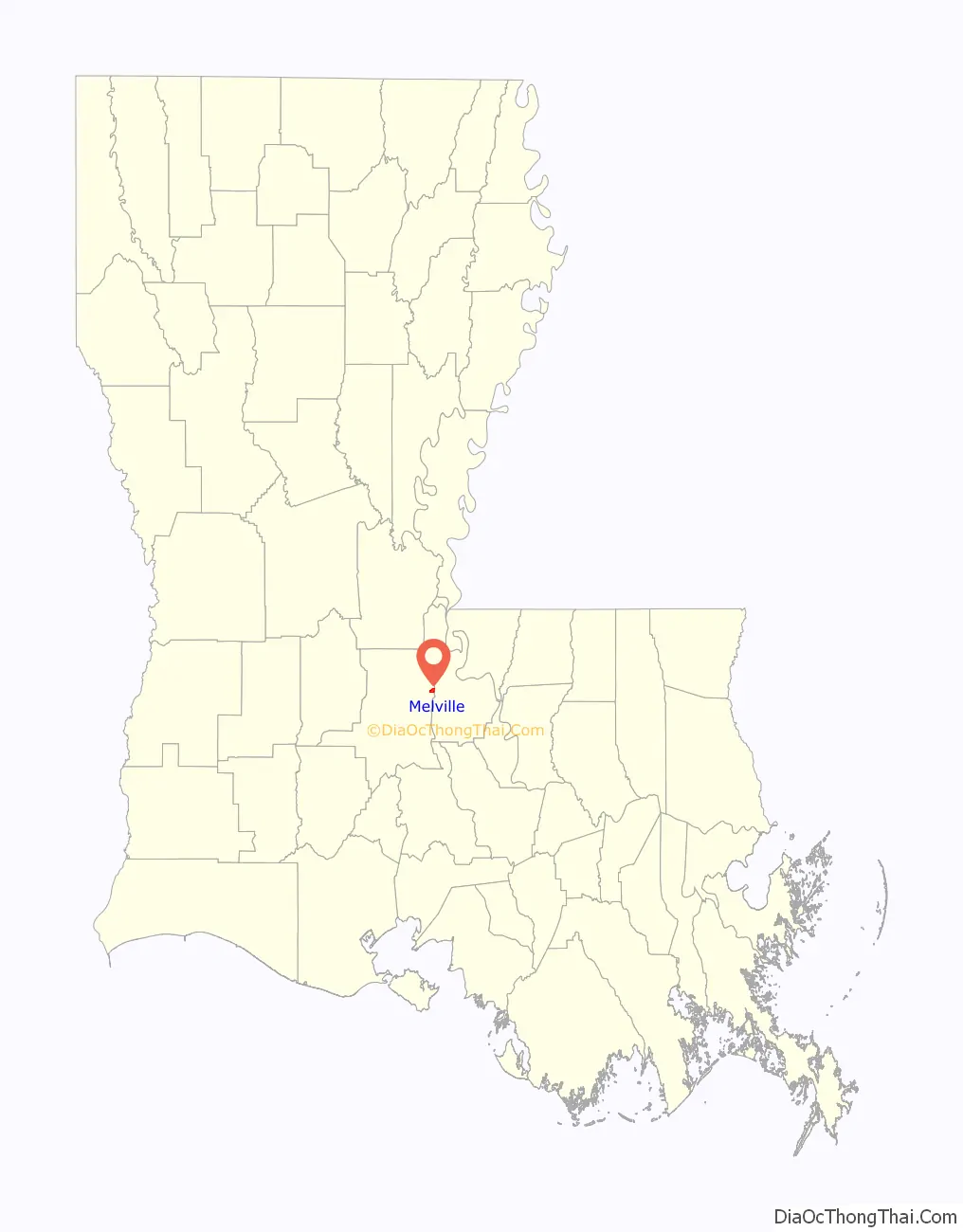
Melville location map. Where is Melville town?

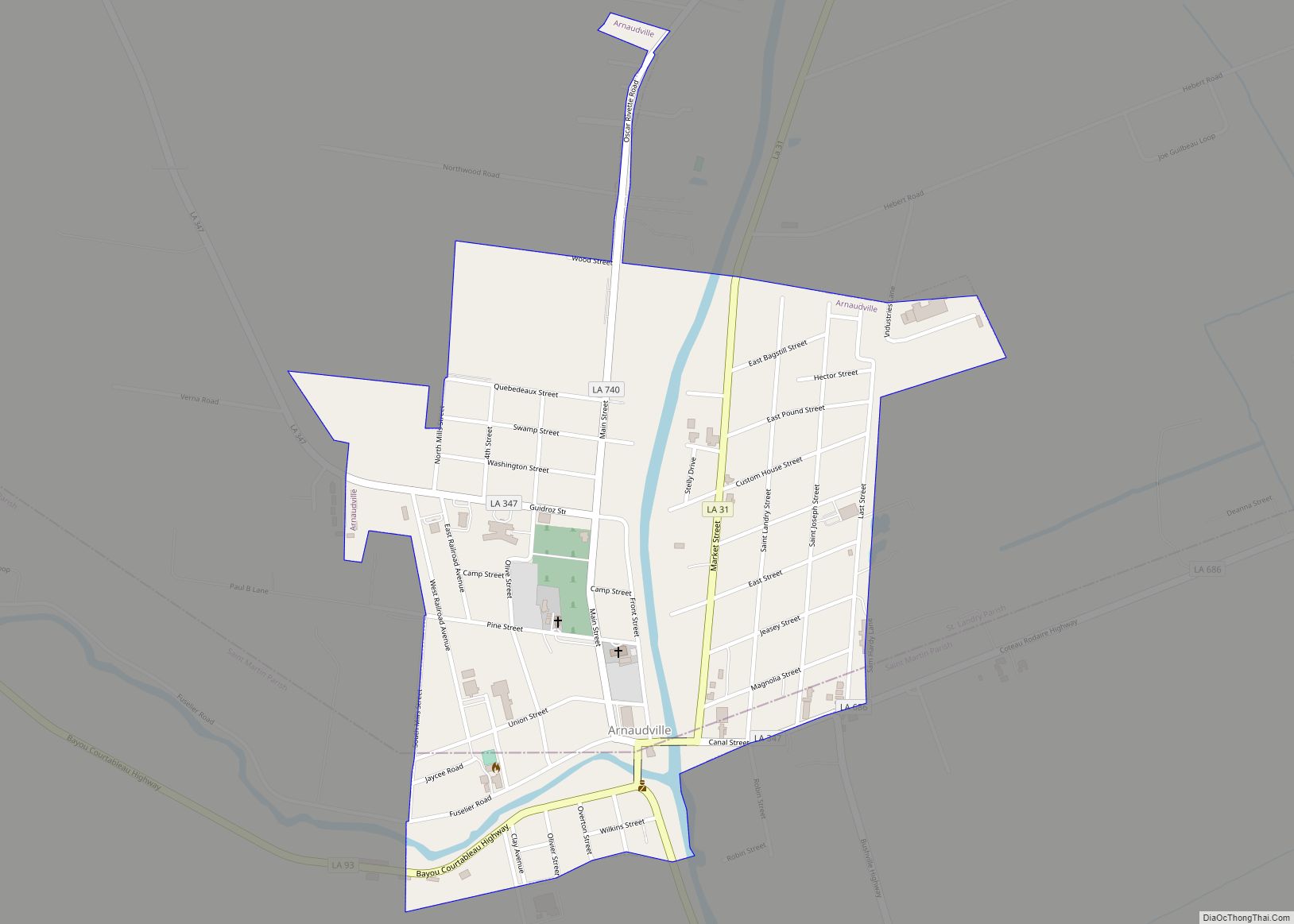
Melville Road Map
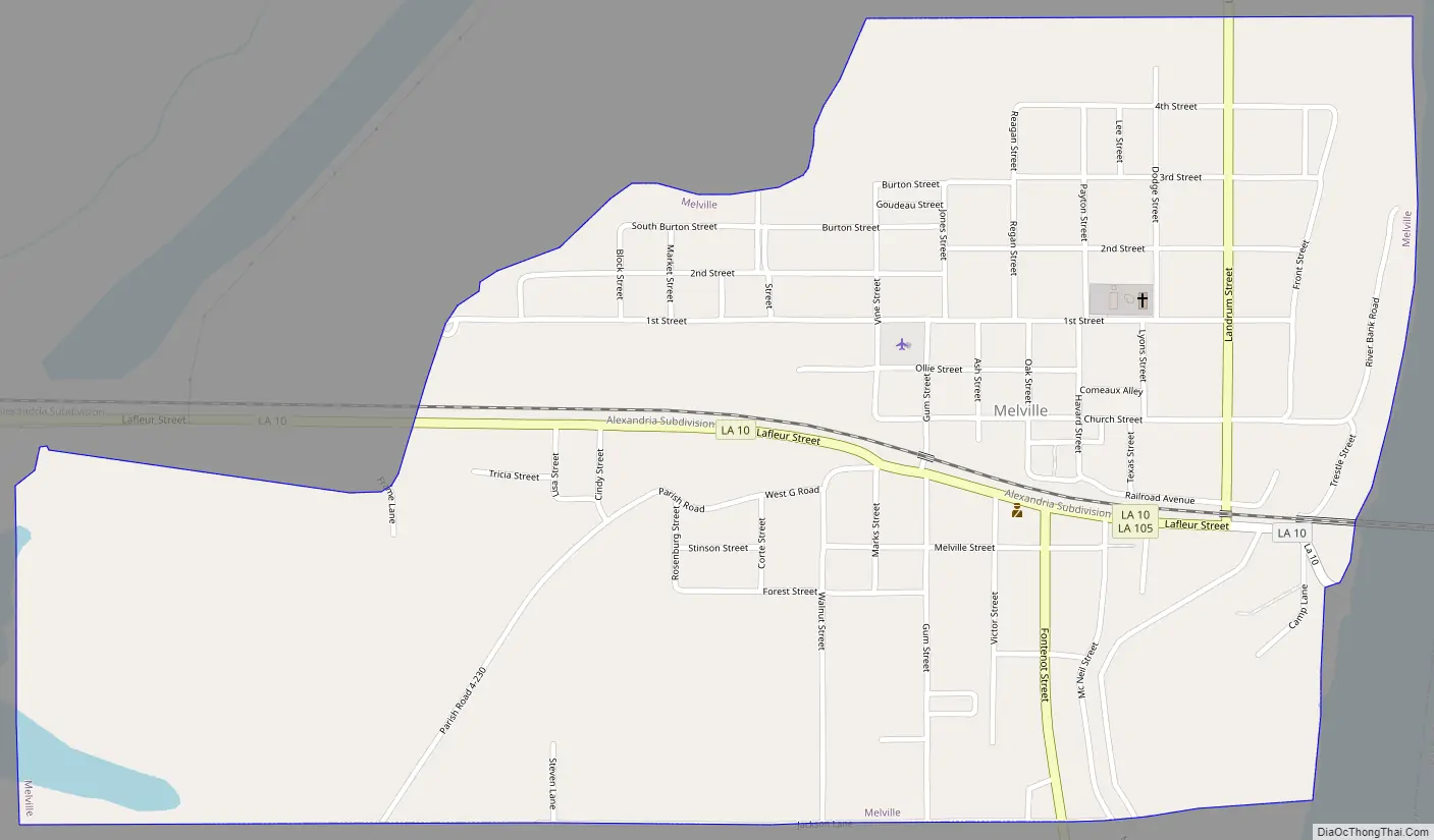
Melville city Satellite Map

Geography
Melville is located at 30°41′36″N 91°44′44″W / 30.69333°N 91.74556°W / 30.69333; -91.74556 (30.693351, −91.745506).
According to the United States Census Bureau, the town has a total area of 1.3 sq mi (3.3 km), all but 0.039 sq mi (0.1 km) (2.34%) of which is land.
It is mostly flat land surrounded by a ring levee to protect it from flooding from the Atchafalaya River and the West Atchafalaya Floodway.
Climate
See also
Map of Louisiana State and its subdivision:- Acadia
- Allen
- Ascension
- Assumption
- Avoyelles
- Beauregard
- Bienville
- Bossier
- Caddo
- Calcasieu
- Caldwell
- Cameron
- Catahoula
- Claiborne
- Concordia
- De Soto
- East Baton Rouge
- East Carroll
- East Feliciana
- Evangeline
- Franklin
- Grant
- Iberia
- Iberville
- Jackson
- Jefferson
- Jefferson Davis
- La Salle
- Lafayette
- Lafourche
- Lincoln
- Livingston
- Madison
- Morehouse
- Natchitoches
- Orleans
- Ouachita
- Plaquemines
- Pointe Coupee
- Rapides
- Red River
- Richland
- Sabine
- Saint Bernard
- Saint Charles
- Saint Helena
- Saint James
- Saint John the Baptist
- Saint Landry
- Saint Martin
- Saint Mary
- Saint Tammany
- Tangipahoa
- Tensas
- Terrebonne
- Union
- Vermilion
- Vernon
- Washington
- Webster
- West Baton Rouge
- West Carroll
- West Feliciana
- Winn
- Alabama
- Alaska
- Arizona
- Arkansas
- California
- Colorado
- Connecticut
- Delaware
- District of Columbia
- Florida
- Georgia
- Hawaii
- Idaho
- Illinois
- Indiana
- Iowa
- Kansas
- Kentucky
- Louisiana
- Maine
- Maryland
- Massachusetts
- Michigan
- Minnesota
- Mississippi
- Missouri
- Montana
- Nebraska
- Nevada
- New Hampshire
- New Jersey
- New Mexico
- New York
- North Carolina
- North Dakota
- Ohio
- Oklahoma
- Oregon
- Pennsylvania
- Rhode Island
- South Carolina
- South Dakota
- Tennessee
- Texas
- Utah
- Vermont
- Virginia
- Washington
- West Virginia
- Wisconsin
- Wyoming