Sunset is a town in St. Landry Parish, Louisiana, United States. The population was 2,897 at the 2010 census, up from 2,352 in 2000. It is part of the Opelousas–Eunice Micropolitan Statistical Area.
| Name: | Sunset town |
|---|---|
| LSAD Code: | 43 |
| LSAD Description: | town (suffix) |
| State: | Louisiana |
| County: | St. Landry Parish |
| Founded: | 1904 |
| Elevation: | 49 ft (15 m) |
| Total Area: | 3.25 sq mi (8.43 km²) |
| Land Area: | 3.23 sq mi (8.36 km²) |
| Water Area: | 0.03 sq mi (0.07 km²) |
| Total Population: | 2,909 |
| Population Density: | 901.46/sq mi (348.06/km²) |
| Area code: | 337 |
| FIPS code: | 2274060 |
| Website: | www.sunset.govoffice2.com |
Online Interactive Map
Click on ![]() to view map in "full screen" mode.
to view map in "full screen" mode.
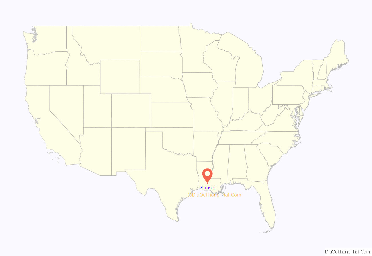
Sunset location map. Where is Sunset town?
History
Like many towns in Southern Louisiana, Sunset began as a railroad town (for the out-distribution of cotton and sweet potatoes and the in-distribution of specialty goods), was incorporated in 1904, and had its first village meeting that December 7. Victor Hugo Sibille was the first mayor. As part of a large-scale conversion of arable land away from cotton (due to the mass-destruction from the cotton boll weevil) and toward sweet potatoes in the late 19th century, the city gave itself the nickname “Sweet Potato Capital of the Nation” at the turn of the 20th century. According to local lore, The Bank of Sunset was one of the very few that did not close throughout the Great Depression of 1929.
Sunset Road Map
Sunset city Satellite Map
Geography
Sunset is located at 30°24′30″N 92°3′58″W / 30.40833°N 92.06611°W / 30.40833; -92.06611 (30.408456, -92.066132).
According to the United States Census Bureau, the town has a total area of 3.1 square miles (8.1 km), of which 3.1 square miles (8.1 km) is land and 0.04 square mile (0.1 km) (0.96%) is water.
See also
Map of Louisiana State and its subdivision:- Acadia
- Allen
- Ascension
- Assumption
- Avoyelles
- Beauregard
- Bienville
- Bossier
- Caddo
- Calcasieu
- Caldwell
- Cameron
- Catahoula
- Claiborne
- Concordia
- De Soto
- East Baton Rouge
- East Carroll
- East Feliciana
- Evangeline
- Franklin
- Grant
- Iberia
- Iberville
- Jackson
- Jefferson
- Jefferson Davis
- La Salle
- Lafayette
- Lafourche
- Lincoln
- Livingston
- Madison
- Morehouse
- Natchitoches
- Orleans
- Ouachita
- Plaquemines
- Pointe Coupee
- Rapides
- Red River
- Richland
- Sabine
- Saint Bernard
- Saint Charles
- Saint Helena
- Saint James
- Saint John the Baptist
- Saint Landry
- Saint Martin
- Saint Mary
- Saint Tammany
- Tangipahoa
- Tensas
- Terrebonne
- Union
- Vermilion
- Vernon
- Washington
- Webster
- West Baton Rouge
- West Carroll
- West Feliciana
- Winn
- Alabama
- Alaska
- Arizona
- Arkansas
- California
- Colorado
- Connecticut
- Delaware
- District of Columbia
- Florida
- Georgia
- Hawaii
- Idaho
- Illinois
- Indiana
- Iowa
- Kansas
- Kentucky
- Louisiana
- Maine
- Maryland
- Massachusetts
- Michigan
- Minnesota
- Mississippi
- Missouri
- Montana
- Nebraska
- Nevada
- New Hampshire
- New Jersey
- New Mexico
- New York
- North Carolina
- North Dakota
- Ohio
- Oklahoma
- Oregon
- Pennsylvania
- Rhode Island
- South Carolina
- South Dakota
- Tennessee
- Texas
- Utah
- Vermont
- Virginia
- Washington
- West Virginia
- Wisconsin
- Wyoming
