Arlee (Salish: nɫq̓alqʷ, nɫq̓a ) is an unincorporated community and census-designated place (CDP) in Lake County, Montana, United States. The population was 636 at the 2010 census. It is named after Alee, a Salish chief. The chief’s name has no “r”, as the Salish alphabet has no letter “r”.
| Name: | Arlee CDP |
|---|---|
| LSAD Code: | 57 |
| LSAD Description: | CDP (suffix) |
| State: | Montana |
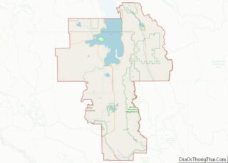
| County: | Lake County |
| Elevation: | 3,091 ft (942 m) |
| Total Area: | 6.47 sq mi (16.75 km²) |
| Land Area: | 6.47 sq mi (16.75 km²) |
| Water Area: | 0.00 sq mi (0.01 km²) |
| Total Population: | 720 |
| Population Density: | 111.35/sq mi (42.99/km²) |
| ZIP code: | 59821 |
| Area code: | 406 |
| FIPS code: | 3002425 |
| GNISfeature ID: | 0801998 |
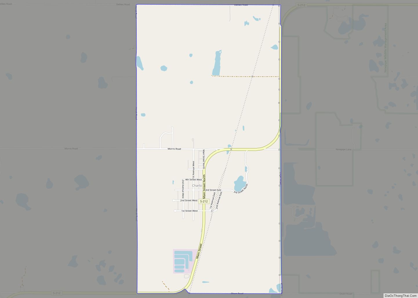
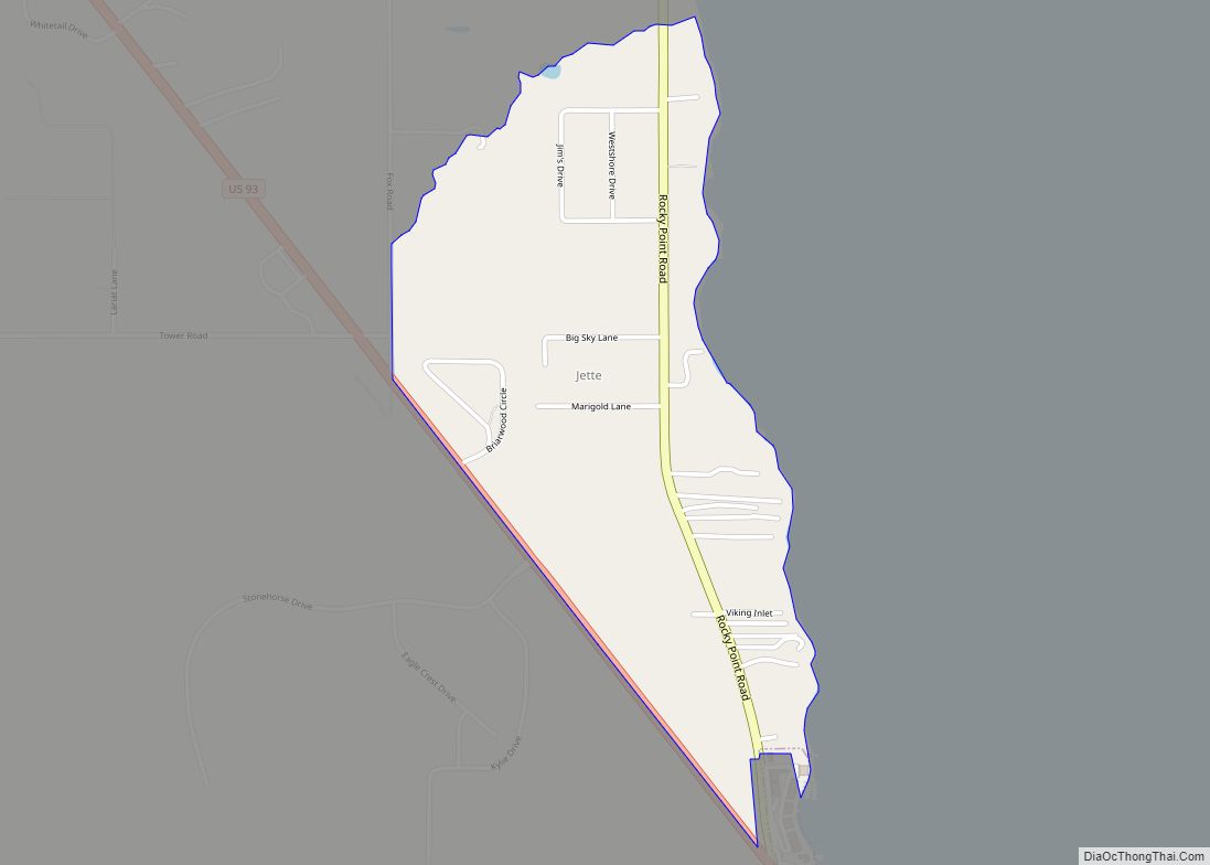
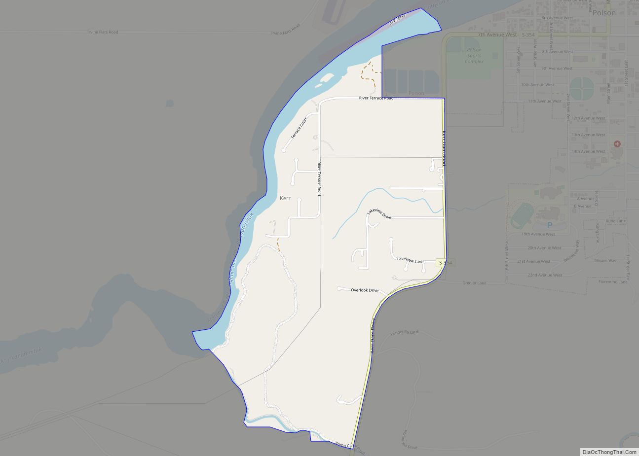
Online Interactive Map
Click on ![]() to view map in "full screen" mode.
to view map in "full screen" mode.
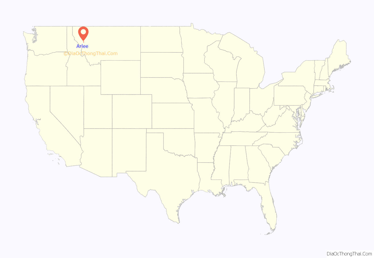
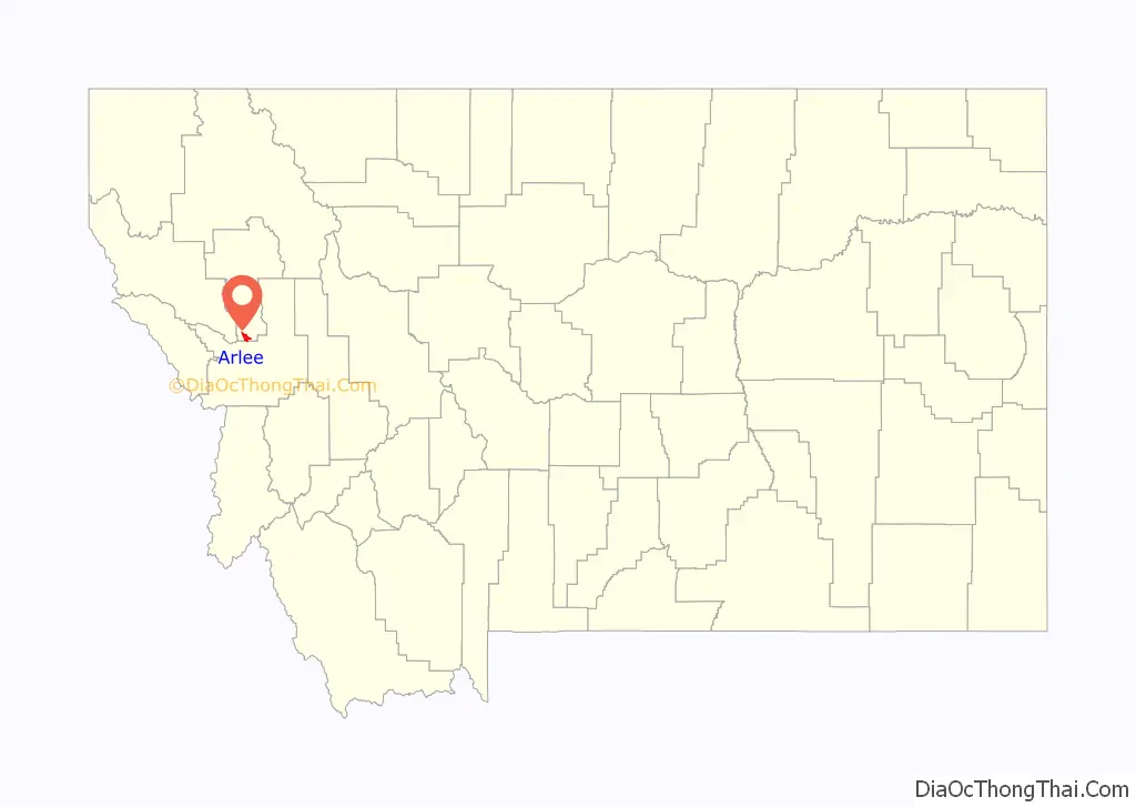
Arlee location map. Where is Arlee CDP?
History
Arlee was named after the Salish leader Arlee. In October 1873, he moved a small group of his people from the Bitterroot Valley, which was designated a “conditional reservation” in the 1855 Hellgate Treaty, to the Jocko Agency (later Flathead Indian Agency) located a few miles south of the current town of Arlee. This forced move stemmed from the efforts of a congressional delegation led by future president James Garfield to negotiate Salish removal from the Bitterroot Valley.
The town and post office were established in 1885.
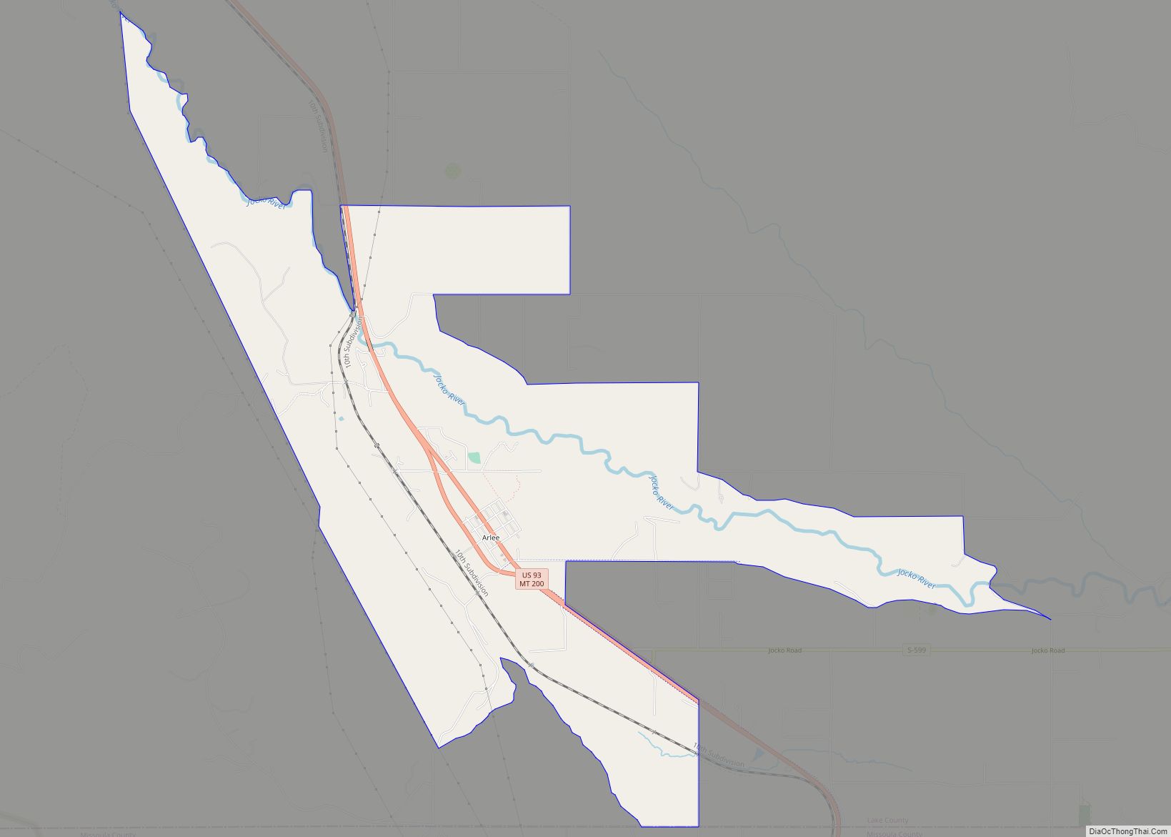
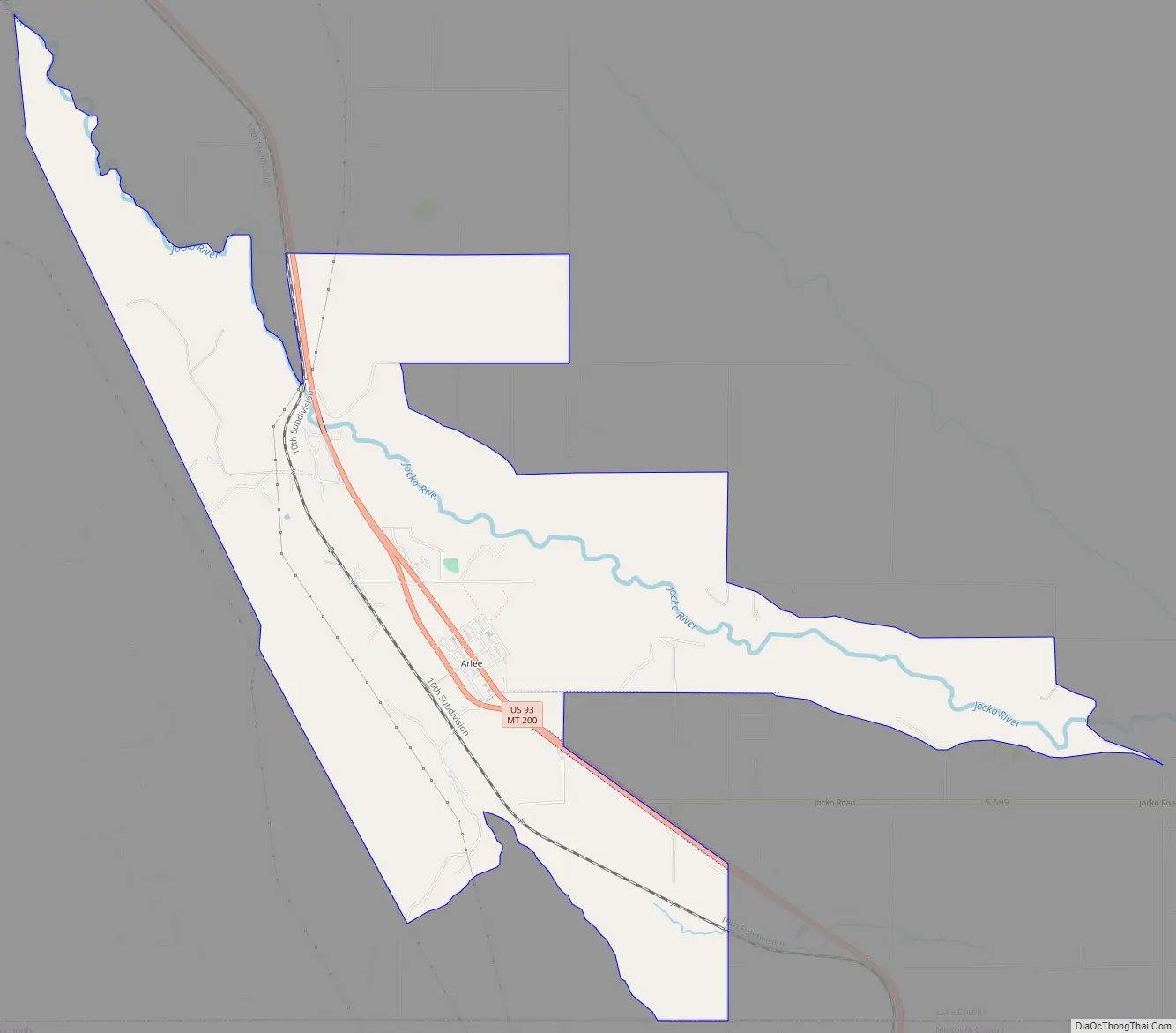
Arlee Road Map
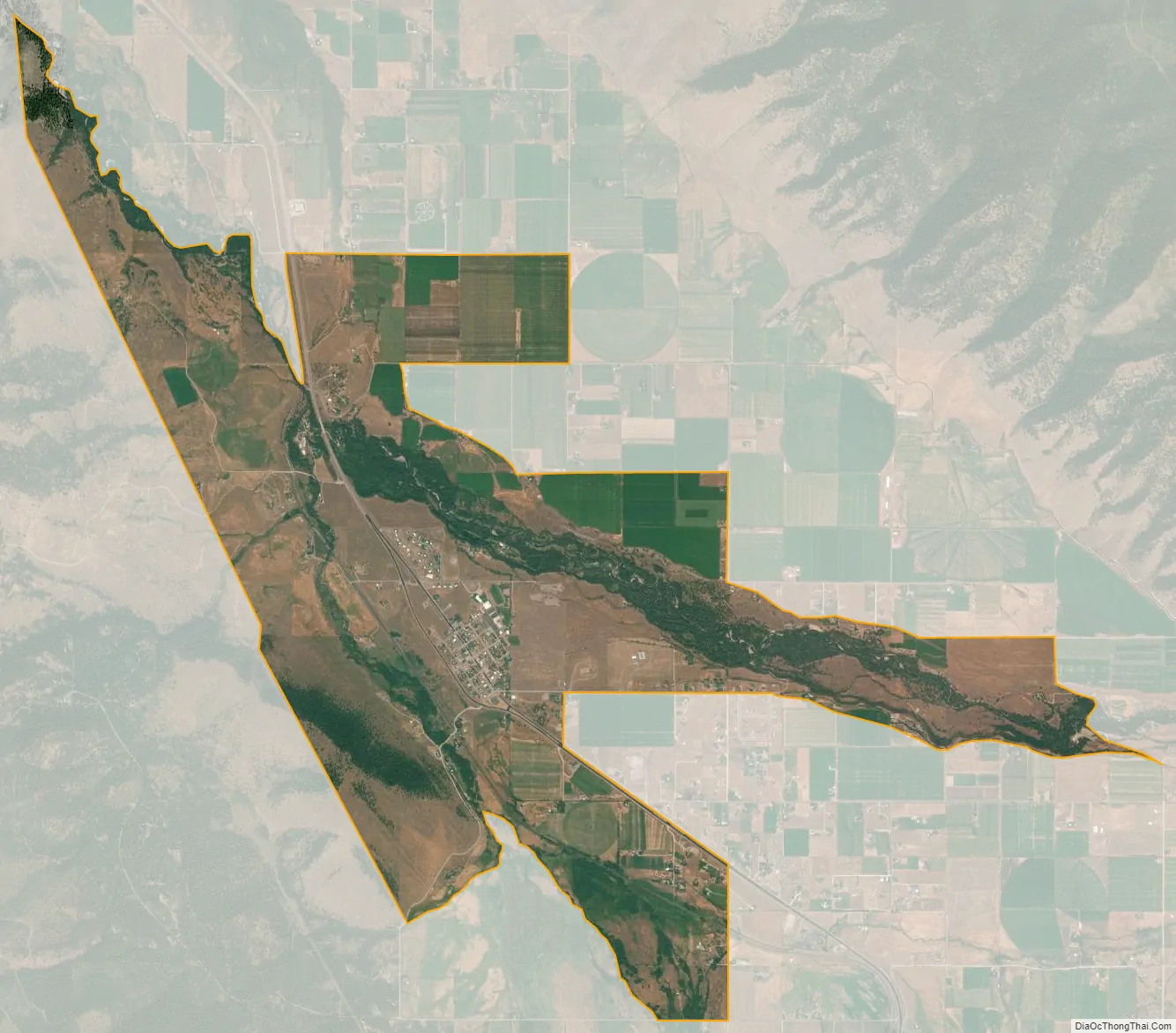
Arlee city Satellite Map
Geography
Arlee is in southern Lake County in the Jocko Valley. U.S. Route 93 and Montana Highway 200 pass through the community together, leading northwest 10 miles (16 km) to Ravalli and south 17 miles (27 km) to Interstate 90 at Wye. Polson, the Lake county seat, is 43 miles (69 km) north of Arlee via US 93.
According to the United States Census Bureau, the Arlee CDP has a total area of 6.5 square miles (16.8 km), of which 93,452.27 square feet (8,682 m), or 0.05%, are water. The Jocko River passes through the northeast side of the community, flowing northwest past Ravalli to the Flathead River at Dixon. Via the Flathead River, it is part of the Clark Fork and Columbia River watershed.
See also
Map of Montana State and its subdivision:- Beaverhead
- Big Horn
- Blaine
- Broadwater
- Carbon
- Carter
- Cascade
- Chouteau
- Custer
- Daniels
- Dawson
- Deer Lodge
- Fallon
- Fergus
- Flathead
- Gallatin
- Garfield
- Glacier
- Golden Valley
- Granite
- Hill
- Jefferson
- Judith Basin
- Lake
- Lewis and Clark
- Liberty
- Lincoln
- Madison
- McCone
- Meagher
- Mineral
- Missoula
- Musselshell
- Park
- Petroleum
- Phillips
- Pondera
- Powder River
- Powell
- Prairie
- Ravalli
- Richland
- Roosevelt
- Rosebud
- Sanders
- Sheridan
- Silver Bow
- Stillwater
- Sweet Grass
- Teton
- Toole
- Treasure
- Valley
- Wheatland
- Wibaux
- Yellowstone
- Alabama
- Alaska
- Arizona
- Arkansas
- California
- Colorado
- Connecticut
- Delaware
- District of Columbia
- Florida
- Georgia
- Hawaii
- Idaho
- Illinois
- Indiana
- Iowa
- Kansas
- Kentucky
- Louisiana
- Maine
- Maryland
- Massachusetts
- Michigan
- Minnesota
- Mississippi
- Missouri
- Montana
- Nebraska
- Nevada
- New Hampshire
- New Jersey
- New Mexico
- New York
- North Carolina
- North Dakota
- Ohio
- Oklahoma
- Oregon
- Pennsylvania
- Rhode Island
- South Carolina
- South Dakota
- Tennessee
- Texas
- Utah
- Vermont
- Virginia
- Washington
- West Virginia
- Wisconsin
- Wyoming