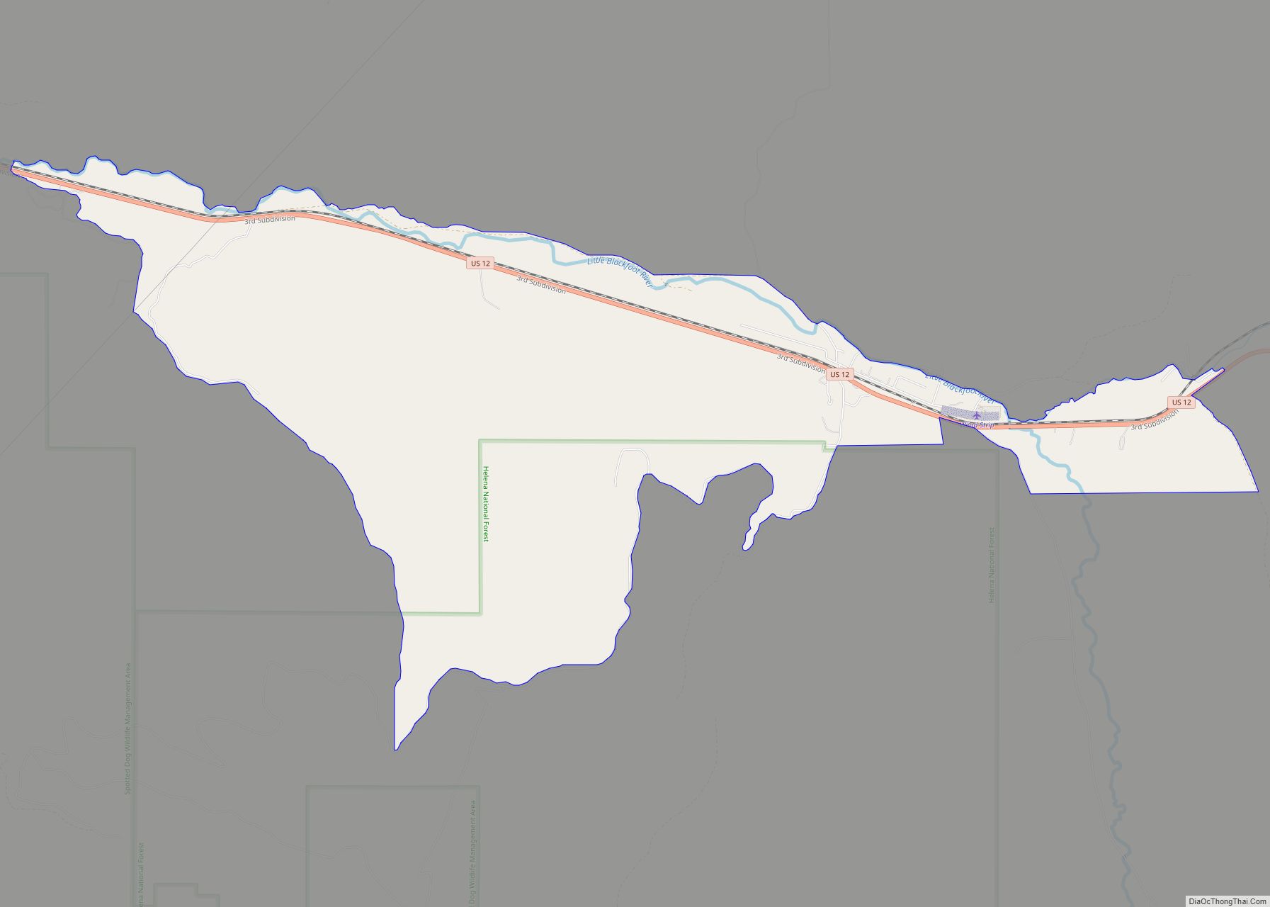
Avon is a census-designated place (CDP) in Powell County, Montana, United States. The population was 124 at the 2000 census. The town sits along the Little Blackfoot River, and serves as a gateway to the Beaverhead-Deerlodge National Forest.
The post office was opened in 1884 by Bill Cramer. The town was named Avon after the Welsh word for river. The town served as a supply point for nearby ranchers, prospectors, and miners.
The town includes the Fitzpatrick Ranch Historic District, a designated location on the National Register of Historic Places.
| Name: | Avon CDP |
|---|---|
| LSAD Code: | 57 |
| LSAD Description: | CDP (suffix) |
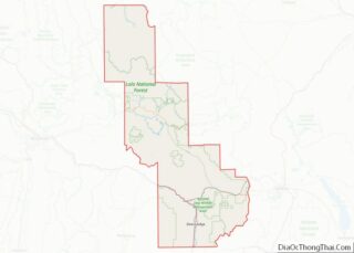
| State: | Montana |
| County: | Powell County |
| Elevation: | 4,692 ft (1,430 m) |
| Total Area: | 13.37 sq mi (34.62 km²) |
| Land Area: | 13.36 sq mi (34.61 km²) |
| Water Area: | 0.00 sq mi (0.01 km²) |
| Total Population: | 114 |
| Population Density: | 8.53/sq mi (3.29/km²) |
| ZIP code: | 59713 |
| Area code: | 406 |
| FIPS code: | 3003175 |
| GNISfeature ID: | 0779204 |
Online Interactive Map
Click on ![]() to view map in "full screen" mode.
to view map in "full screen" mode.
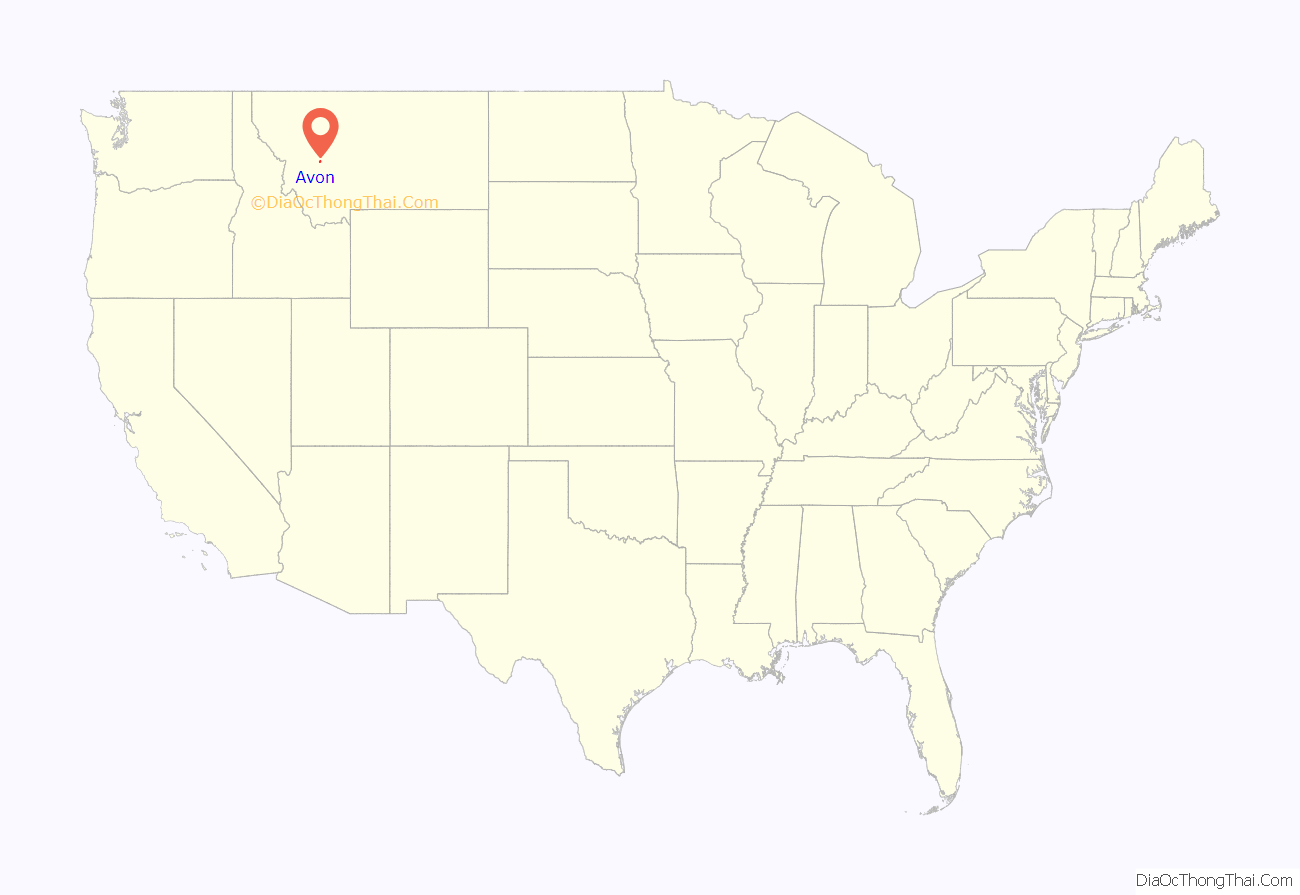
Avon location map. Where is Avon CDP?
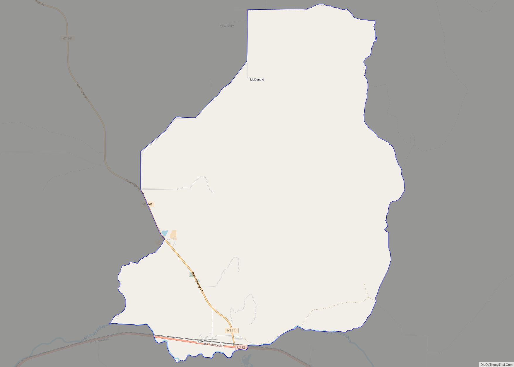
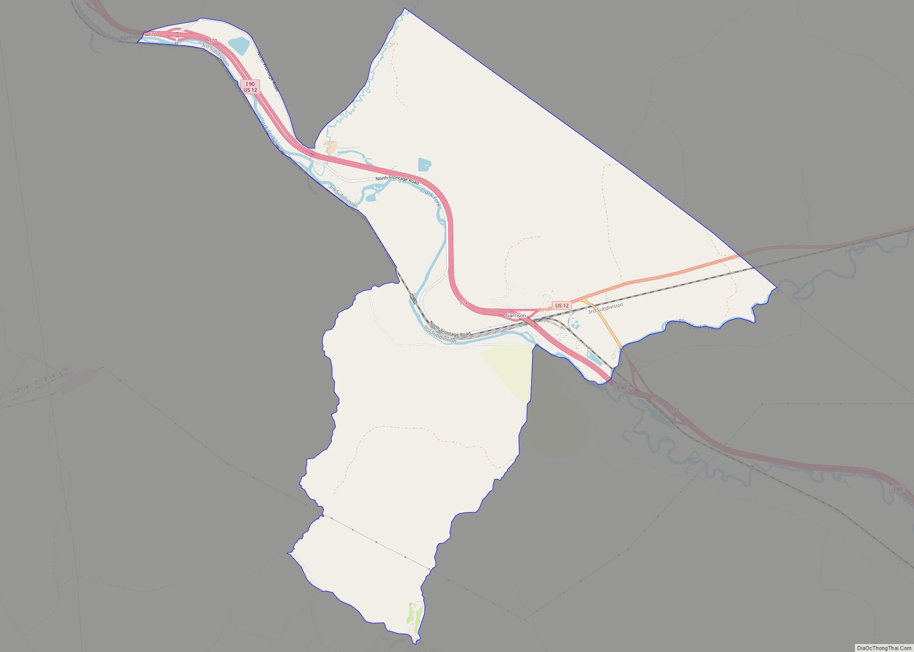
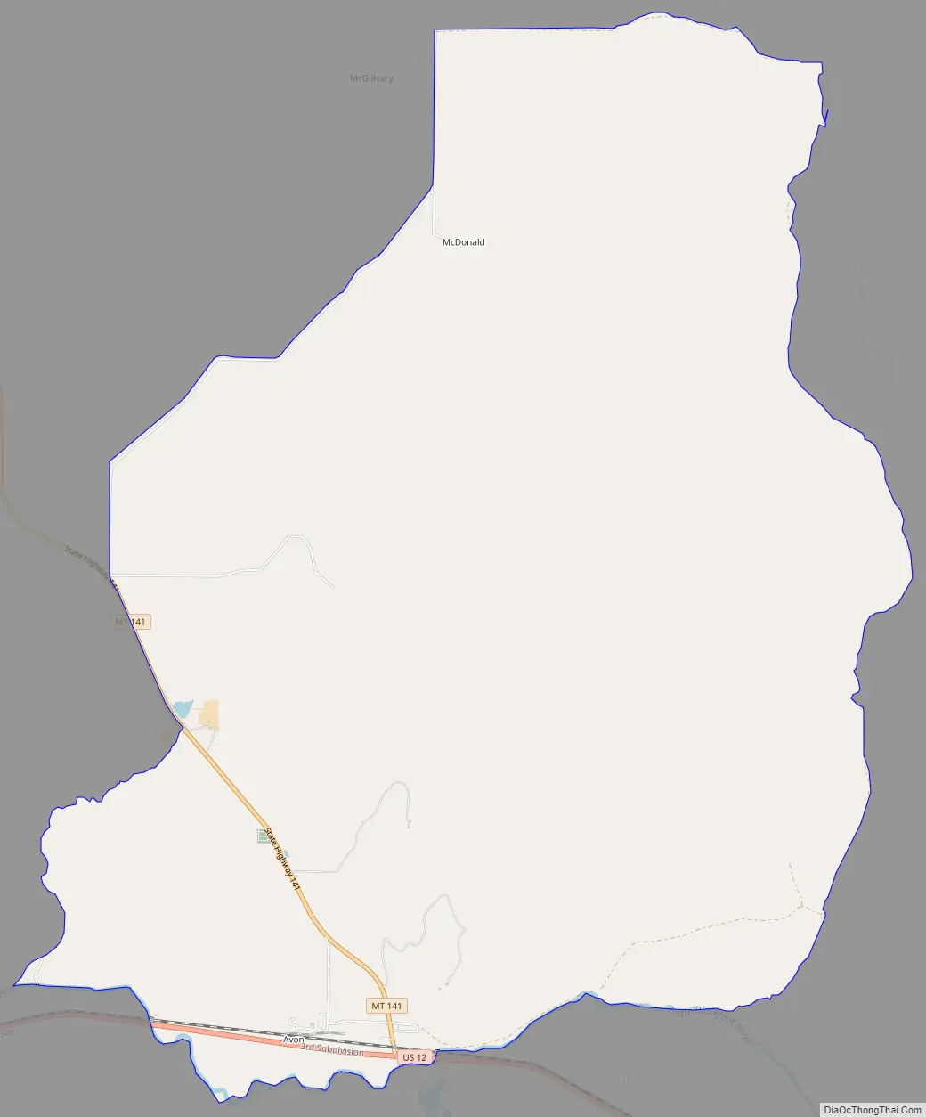
Avon Road Map
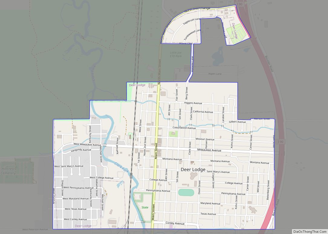
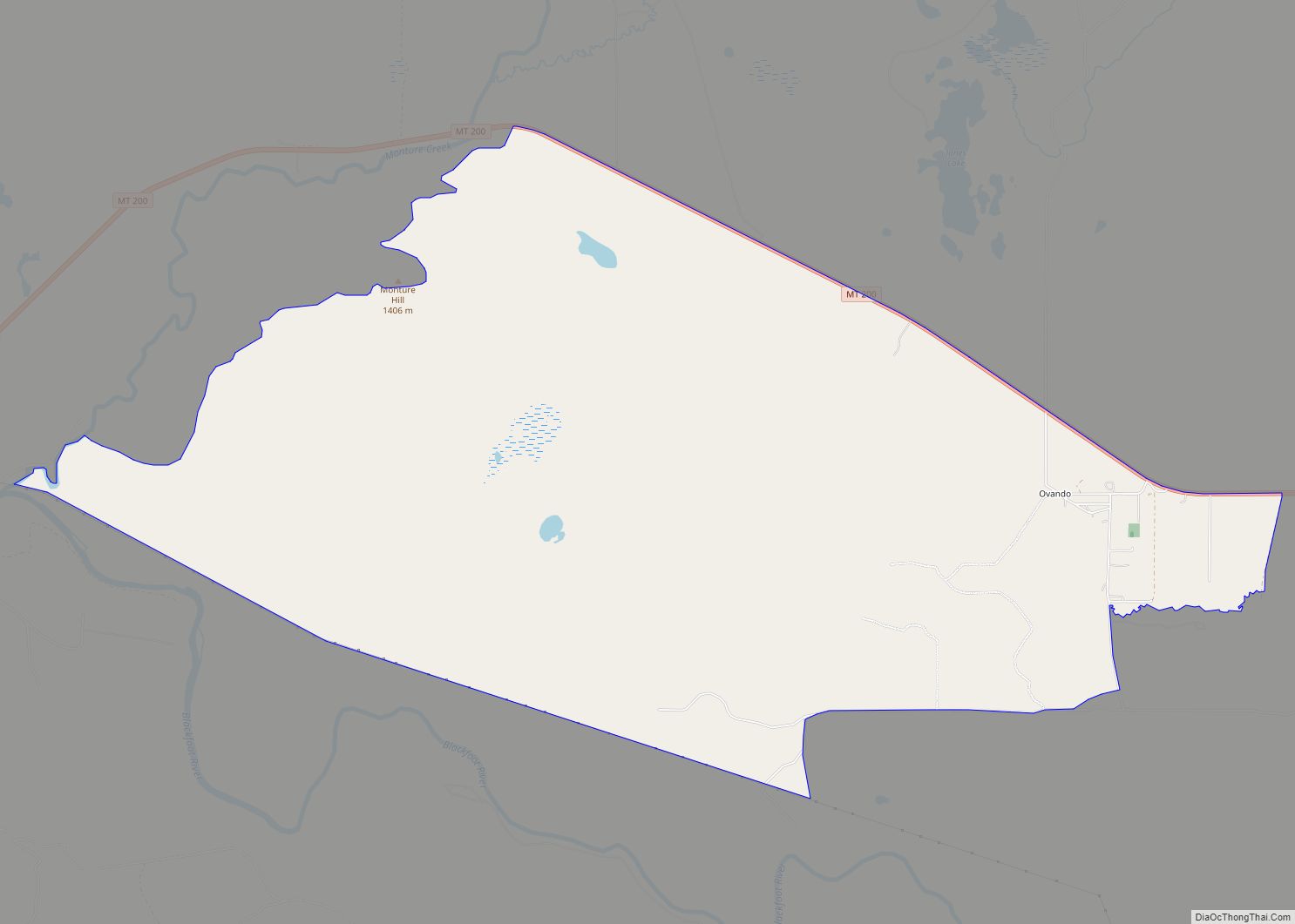
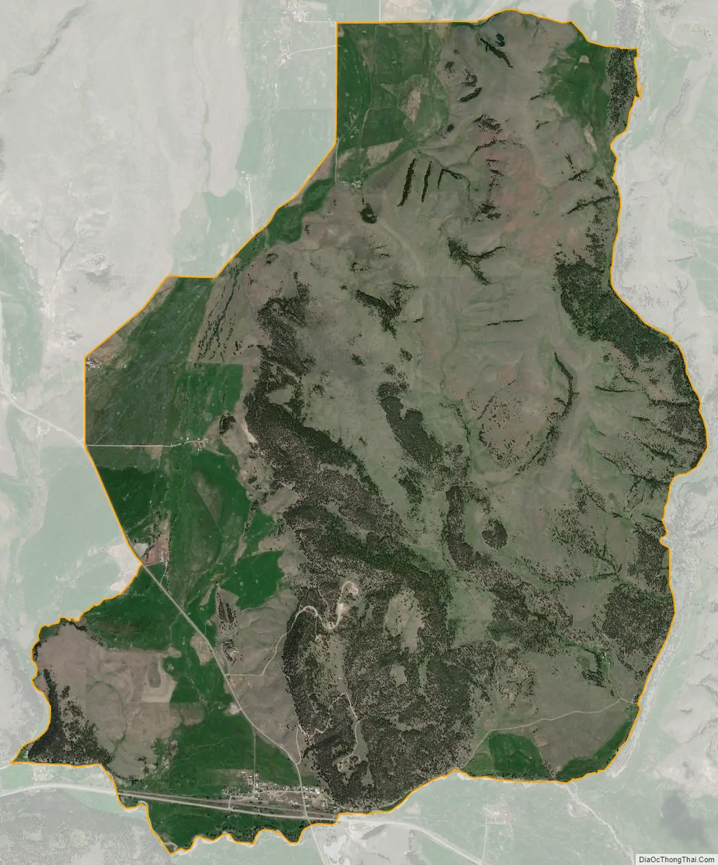
Avon city Satellite Map
Geography
Avon is located at 46°35′57″N 112°35′56″W / 46.59917°N 112.59889°W / 46.59917; -112.59889 (46.599204, -112.598899).
According to the United States Census Bureau, the CDP has a total area of 13.4 square miles (35 km), all land.
See also
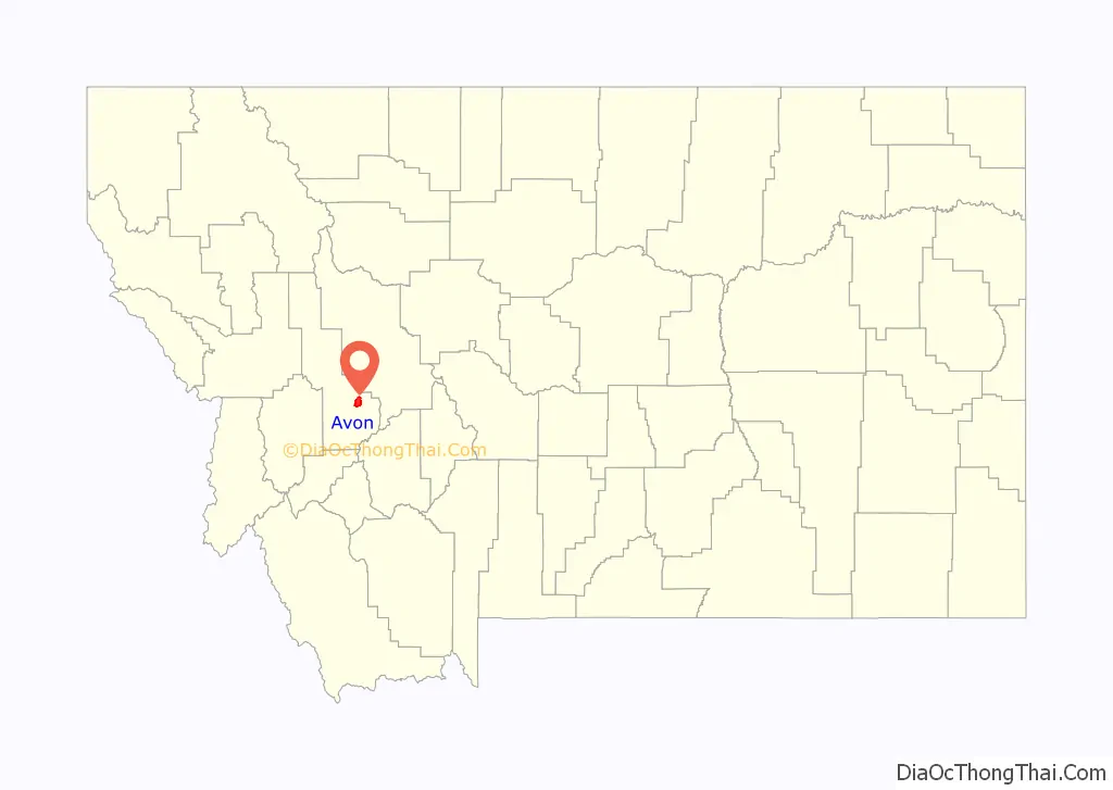
Map of Montana State and its subdivision:- Beaverhead
- Big Horn
- Blaine
- Broadwater
- Carbon
- Carter
- Cascade
- Chouteau
- Custer
- Daniels
- Dawson
- Deer Lodge
- Fallon
- Fergus
- Flathead
- Gallatin
- Garfield
- Glacier
- Golden Valley
- Granite
- Hill
- Jefferson
- Judith Basin
- Lake
- Lewis and Clark
- Liberty
- Lincoln
- Madison
- McCone
- Meagher
- Mineral
- Missoula
- Musselshell
- Park
- Petroleum
- Phillips
- Pondera
- Powder River
- Powell
- Prairie
- Ravalli
- Richland
- Roosevelt
- Rosebud
- Sanders
- Sheridan
- Silver Bow
- Stillwater
- Sweet Grass
- Teton
- Toole
- Treasure
- Valley
- Wheatland
- Wibaux
- Yellowstone
- Alabama
- Alaska
- Arizona
- Arkansas
- California
- Colorado
- Connecticut
- Delaware
- District of Columbia
- Florida
- Georgia
- Hawaii
- Idaho
- Illinois
- Indiana
- Iowa
- Kansas
- Kentucky
- Louisiana
- Maine
- Maryland
- Massachusetts
- Michigan
- Minnesota
- Mississippi
- Missouri
- Montana
- Nebraska
- Nevada
- New Hampshire
- New Jersey
- New Mexico
- New York
- North Carolina
- North Dakota
- Ohio
- Oklahoma
- Oregon
- Pennsylvania
- Rhode Island
- South Carolina
- South Dakota
- Tennessee
- Texas
- Utah
- Vermont
- Virginia
- Washington
- West Virginia
- Wisconsin
- Wyoming