Babb (Blackfeet: Paahtomahksikimi, “Lakes Inside”, or Saiyapakaitapisko, “Cree Town”) is a small unincorporated farming and ranching community in Glacier County, Montana, United States, on the Blackfeet Indian Reservation. The community experiences a large influx of tourists in the summer months as it is the gateway to the Many Glacier area of Glacier National Park. Babb is a census-designated place (CDP) and had a population of 174 at the 2010 census.
Community infrastructure includes one school (Babb Elementary School), a U.S. Post Office, a fire station that houses the Babb/St. Mary Volunteer Fire Department, Thronson’s General Store and Motel, several restaurants, two churches, and a gas station. Alcohol is not sold in Babb.
Nearby attractions include Glacier National Park, the Many Glacier Hotel, the St. Mary River, the St. Mary Irrigation Canal, Chief Mountain, and the U.S. ports of entry of Piegan and Chief Mountain.
| Name: | Babb CDP |
|---|---|
| LSAD Code: | 57 |
| LSAD Description: | CDP (suffix) |
| State: | Montana |
| County: | Glacier County |
| Elevation: | 4,524 ft (1,379 m) |
| Total Area: | 9.56 sq mi (24.76 km²) |
| Land Area: | 9.48 sq mi (24.57 km²) |
| Water Area: | 0.07 sq mi (0.19 km²) |
| Total Population: | 130 |
| Population Density: | 13.71/sq mi (5.29/km²) |
| ZIP code: | 59411 |
| FIPS code: | 3003250 |
| GNISfeature ID: | 802006 |
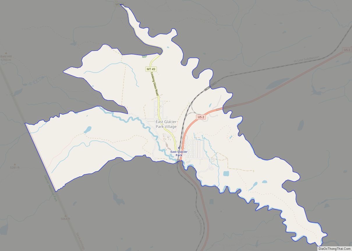
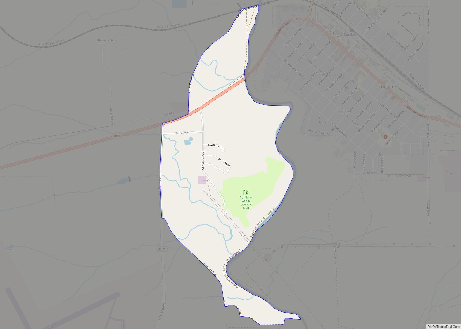
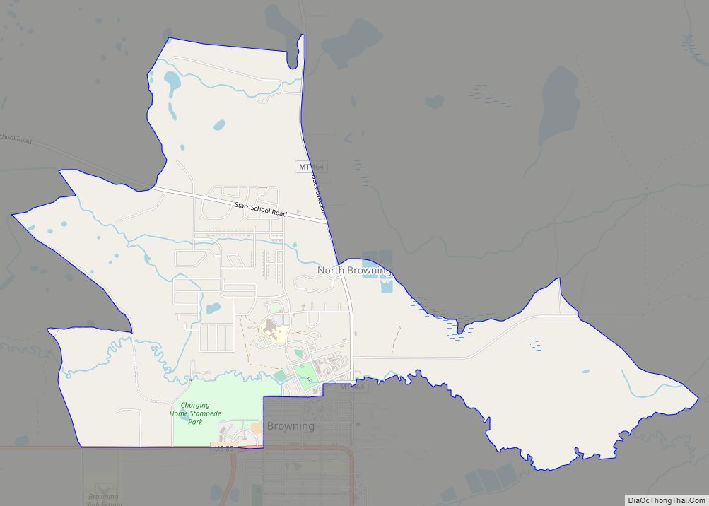
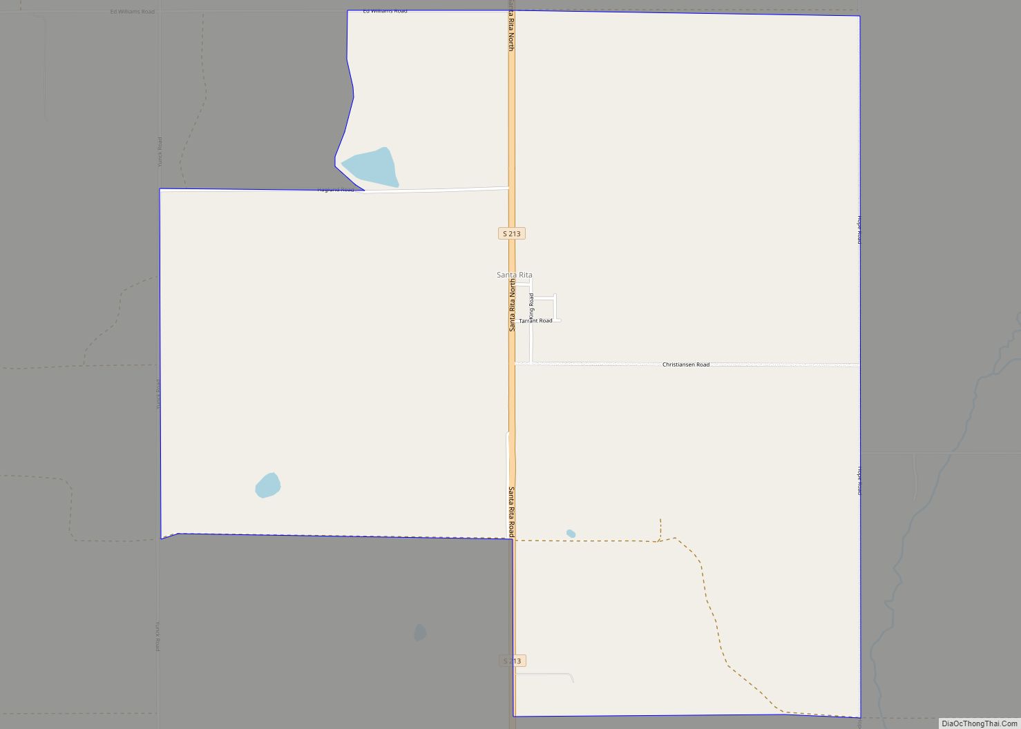
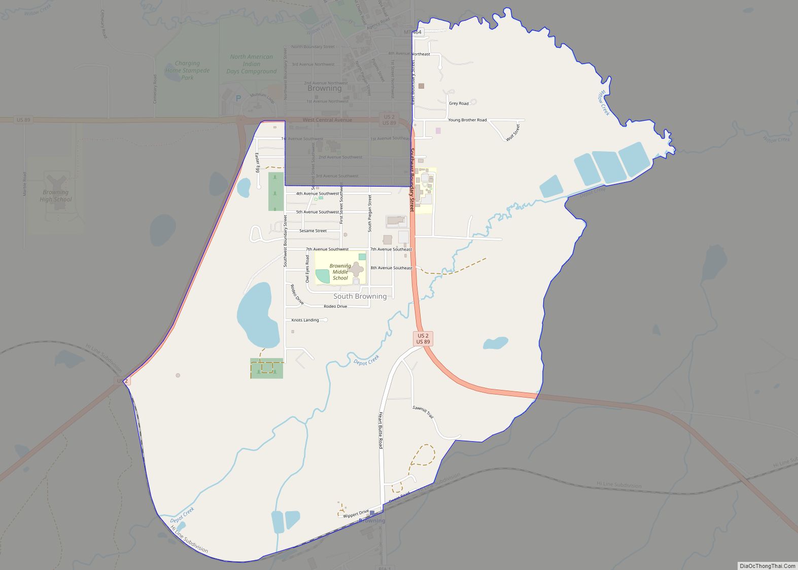
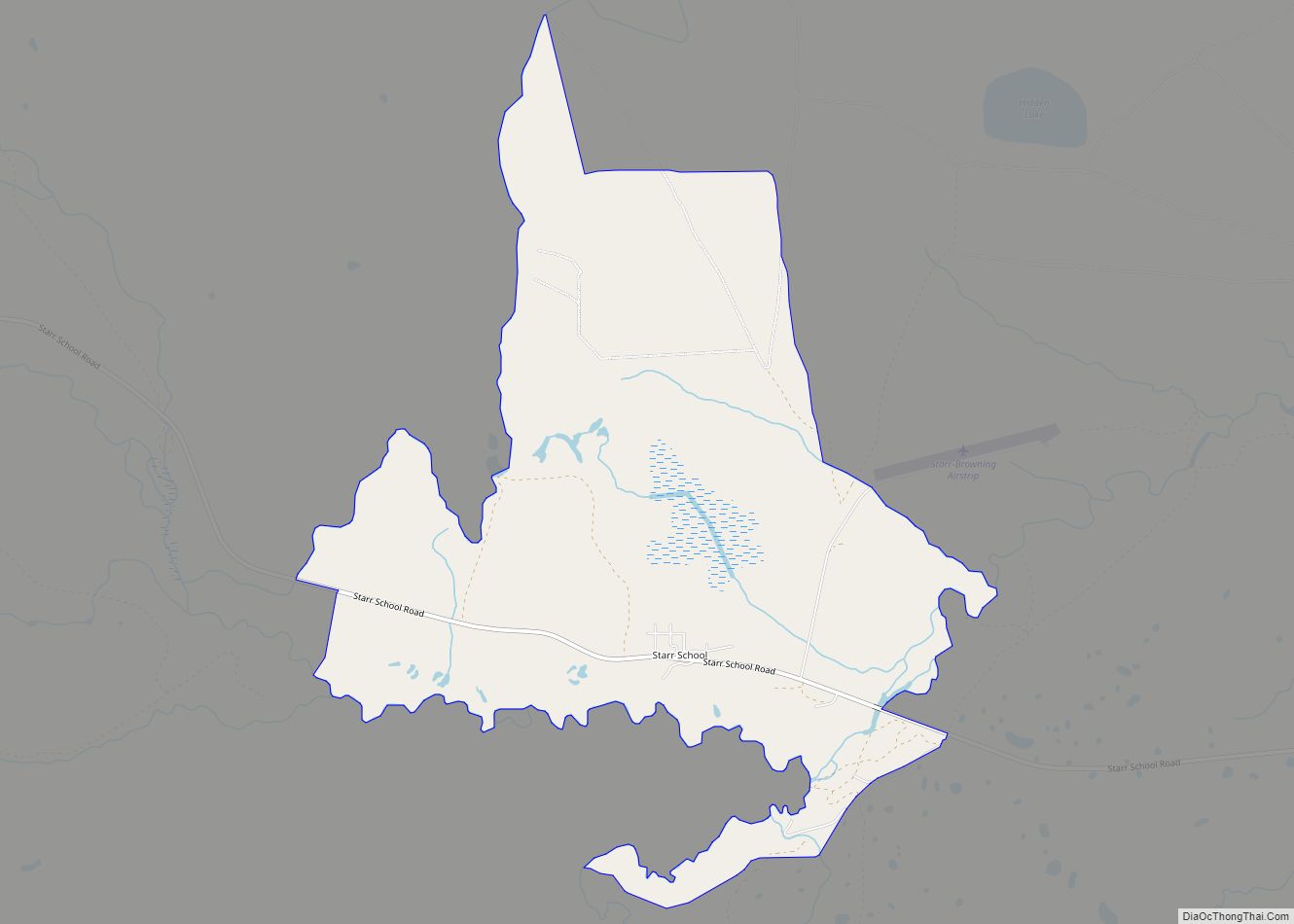
Online Interactive Map
Click on ![]() to view map in "full screen" mode.
to view map in "full screen" mode.
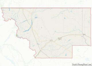
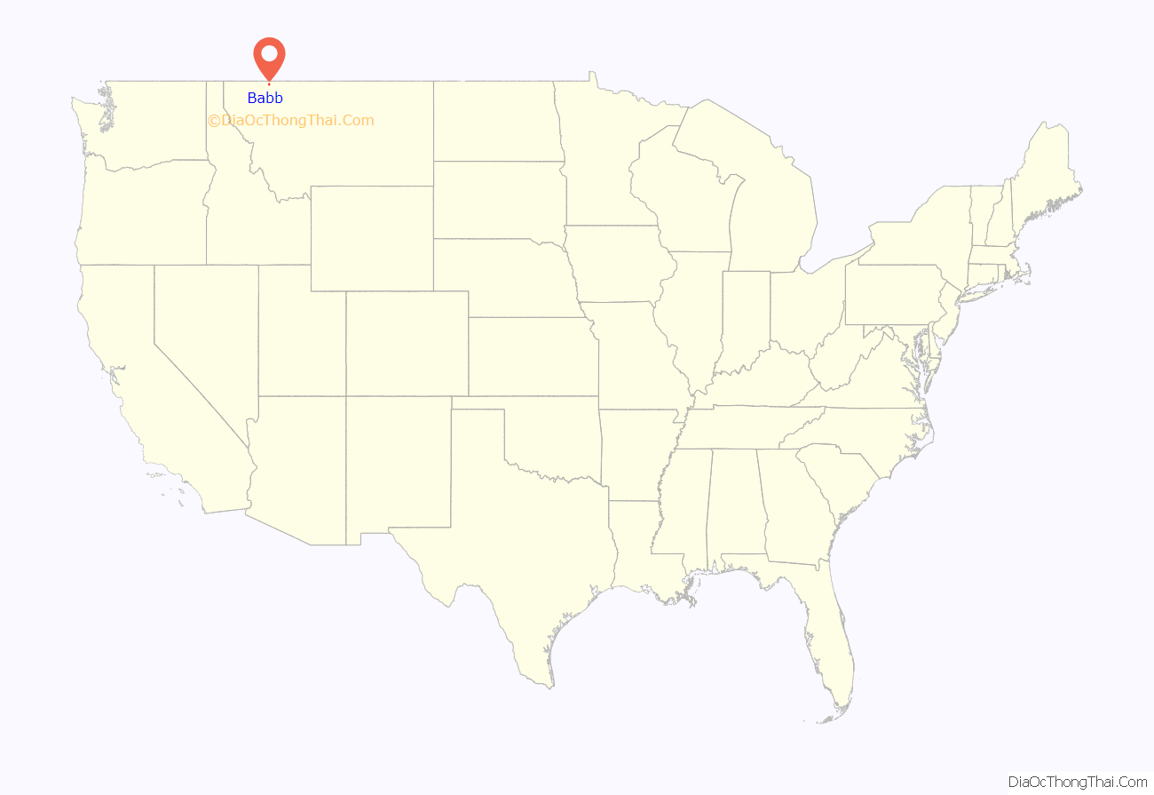
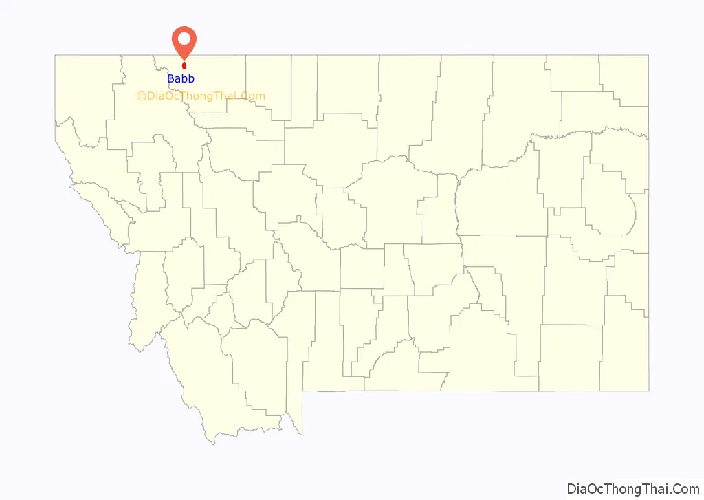
Babb location map. Where is Babb CDP?
History
Established in 1905 as a post office, the town of Babb was named for Cyrus C. Babb, the engineer in charge of surveying the U.S. Reclamation Service’s St. Mary Irrigation Canal. The canal siphoned water from the St. Mary River into the Milk River and was one of the first Bureau of Reclamation projects in the nation.
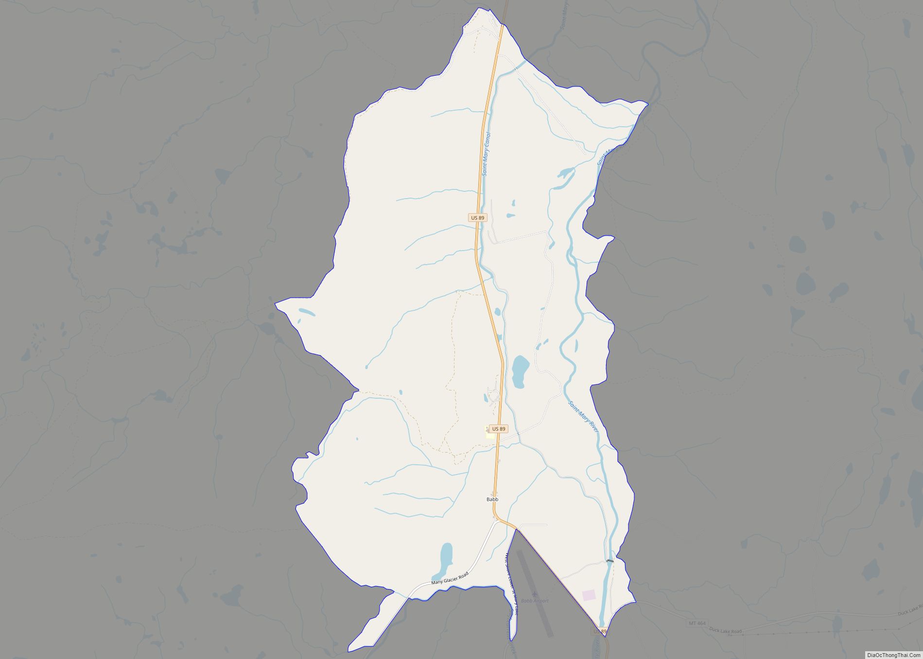
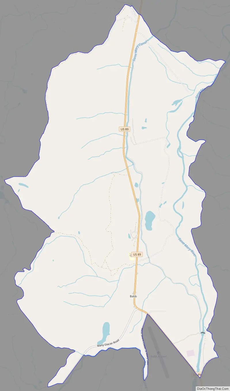
Babb Road Map
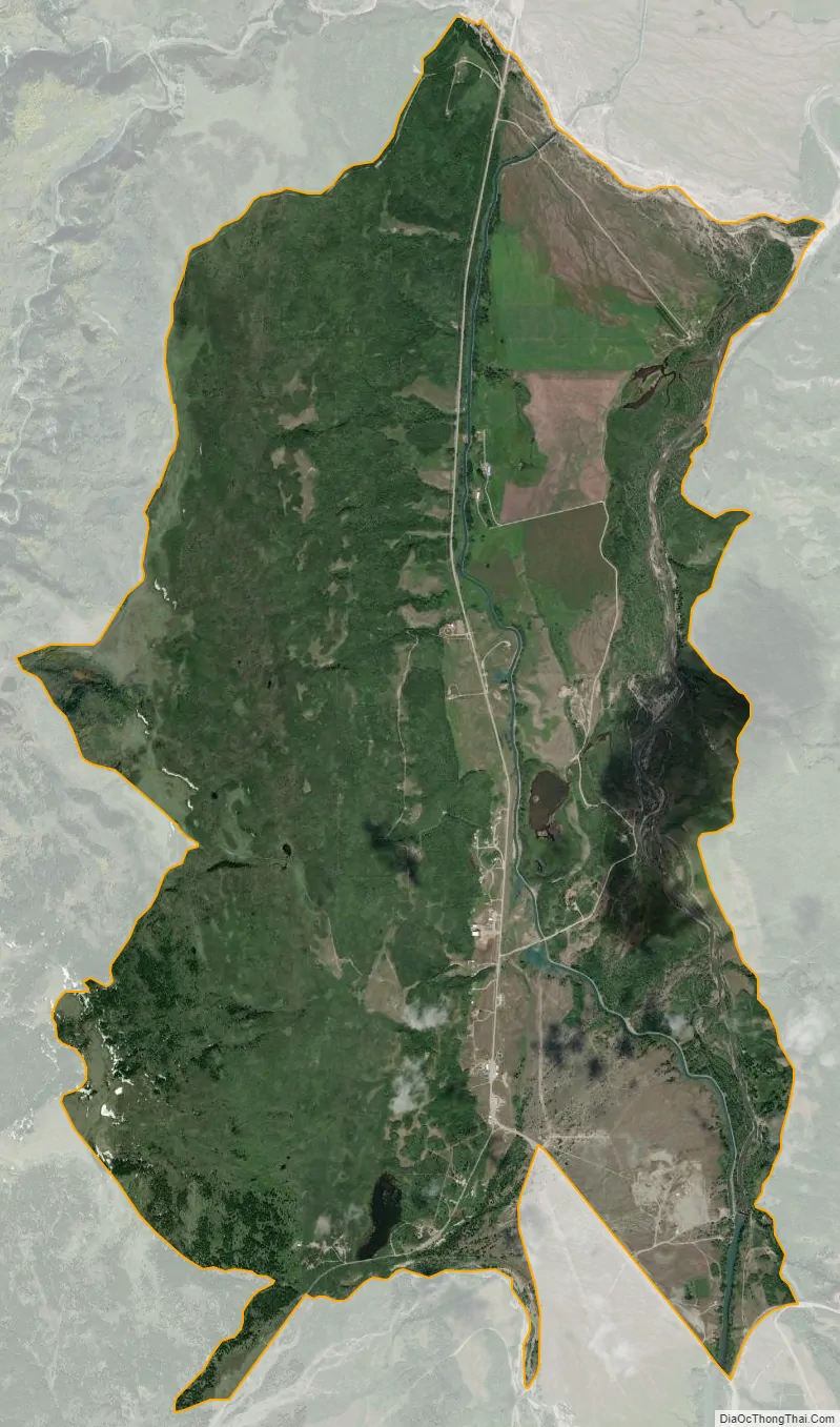
Babb city Satellite Map
Geography
Babb is located in northwestern Glacier County in the valley of the St. Mary River at an elevation of 4,524 feet (1,379 m) above sea level and at latitude 48.8603 north, longitude 113.4358 west. U.S. Route 89 passes through the community, leading north 10 miles (16 km) to the Canadian border at Piegan and south 9 miles (14 km) to St. Mary. Many Glacier Road leads west from Babb 5 miles (8 km) to the border of Glacier National Park at the east end of Lake Sherburne and continues west 7 miles (11 km) to the Many Glacier Hotel.
According to the U.S. Census Bureau, the Babb CDP has a total area of 9.6 square miles (24.8 km), of which 9.5 square miles (24.6 km) is land and 0.1 square miles (0.2 km), or 0.78%, is water.
See also
Map of Montana State and its subdivision:- Beaverhead
- Big Horn
- Blaine
- Broadwater
- Carbon
- Carter
- Cascade
- Chouteau
- Custer
- Daniels
- Dawson
- Deer Lodge
- Fallon
- Fergus
- Flathead
- Gallatin
- Garfield
- Glacier
- Golden Valley
- Granite
- Hill
- Jefferson
- Judith Basin
- Lake
- Lewis and Clark
- Liberty
- Lincoln
- Madison
- McCone
- Meagher
- Mineral
- Missoula
- Musselshell
- Park
- Petroleum
- Phillips
- Pondera
- Powder River
- Powell
- Prairie
- Ravalli
- Richland
- Roosevelt
- Rosebud
- Sanders
- Sheridan
- Silver Bow
- Stillwater
- Sweet Grass
- Teton
- Toole
- Treasure
- Valley
- Wheatland
- Wibaux
- Yellowstone
- Alabama
- Alaska
- Arizona
- Arkansas
- California
- Colorado
- Connecticut
- Delaware
- District of Columbia
- Florida
- Georgia
- Hawaii
- Idaho
- Illinois
- Indiana
- Iowa
- Kansas
- Kentucky
- Louisiana
- Maine
- Maryland
- Massachusetts
- Michigan
- Minnesota
- Mississippi
- Missouri
- Montana
- Nebraska
- Nevada
- New Hampshire
- New Jersey
- New Mexico
- New York
- North Carolina
- North Dakota
- Ohio
- Oklahoma
- Oregon
- Pennsylvania
- Rhode Island
- South Carolina
- South Dakota
- Tennessee
- Texas
- Utah
- Vermont
- Virginia
- Washington
- West Virginia
- Wisconsin
- Wyoming