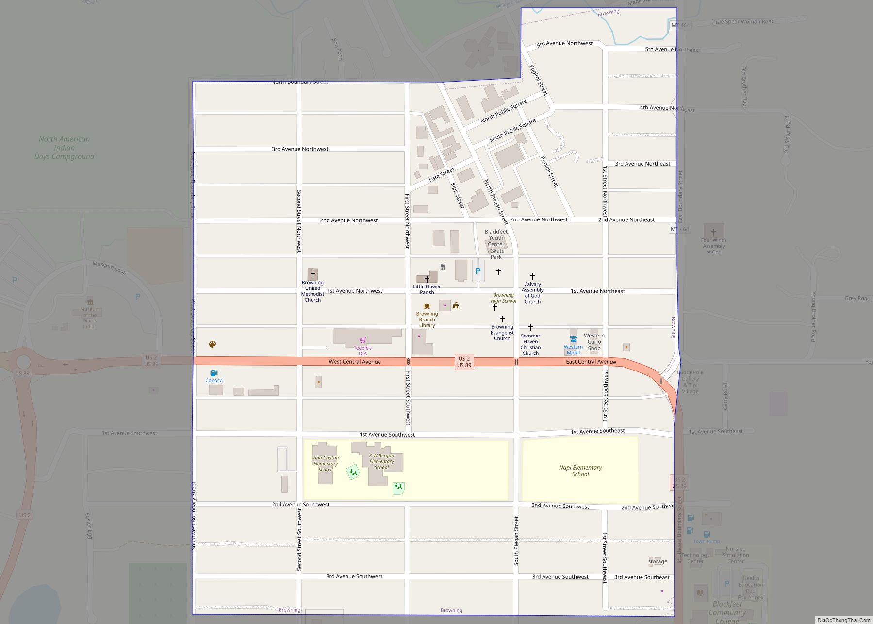
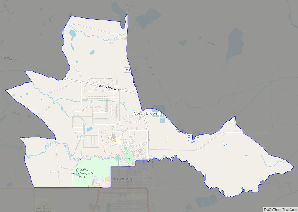
Browning is a former town in Glacier County, Montana, United States. It is the headquarters for the Blackfeet Indian Reservation and was the only incorporated town on the Reservation. The population was 1,018 at the 2020 census.
The town was named in 1885 for Commissioner of Indian Affairs Daniel M. Browning. The post office was established in 1895. The town was disincorporated on September 26, 2018, after the town’s government collapsed financially.
| Name: | Browning town |
|---|---|
| LSAD Code: | 43 |
| LSAD Description: | town (suffix) |
| State: | Montana |
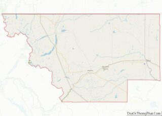
| County: | Glacier County |
| Elevation: | 4,377 ft (1,334 m) |
| Total Area: | 0.28 sq mi (0.72 km²) |
| Land Area: | 0.28 sq mi (0.72 km²) |
| Water Area: | 0.00 sq mi (0.00 km²) |
| Total Population: | 1,018 |
| Population Density: | 3,688.41/sq mi (1,422.32/km²) |
| ZIP code: | 59417 |
| Area code: | 406 |
| FIPS code: | 3010375 |
| GNISfeature ID: | 0802063 |
| Website: | www.BrowningMontana.com |
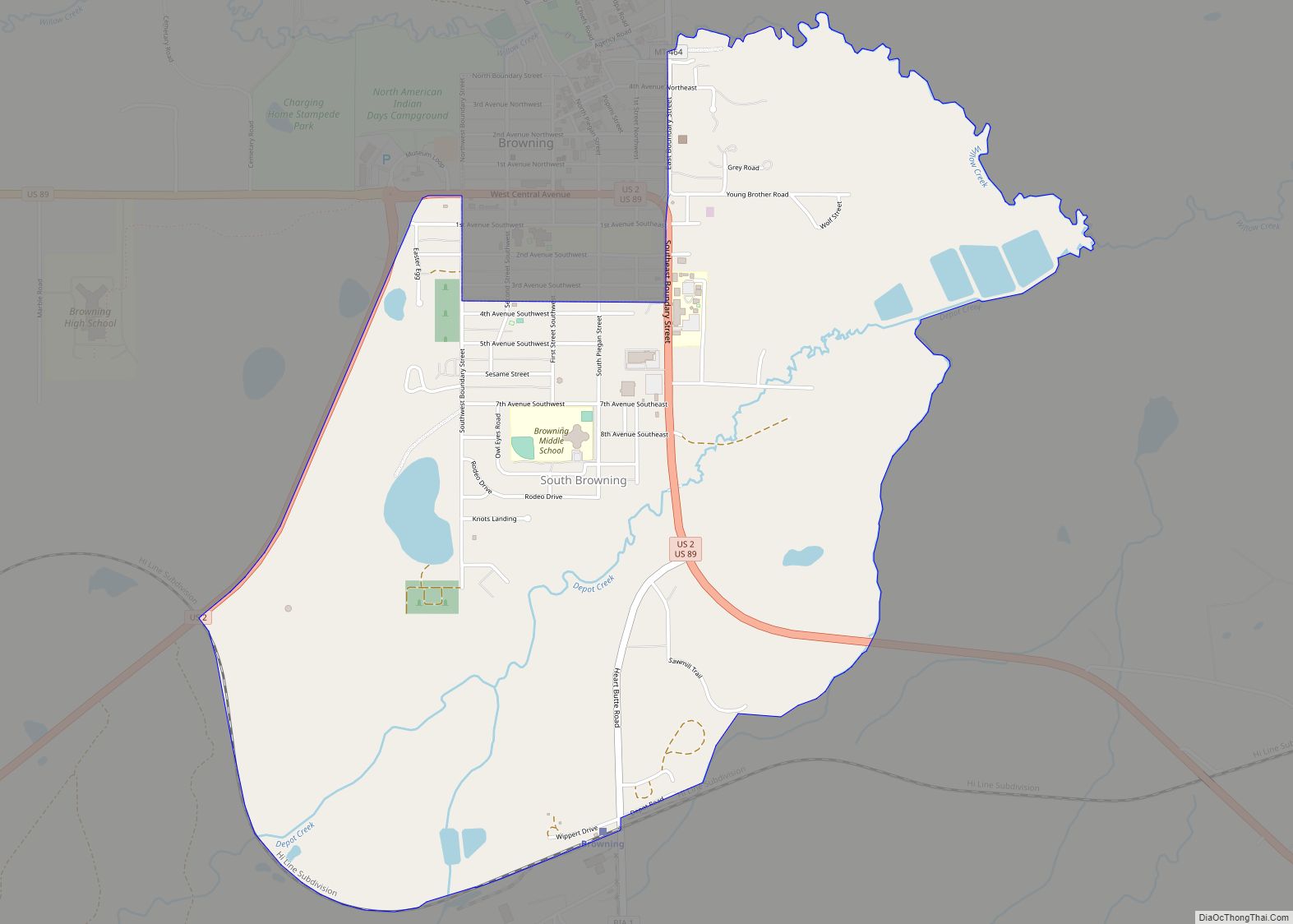
Online Interactive Map
Click on ![]() to view map in "full screen" mode.
to view map in "full screen" mode.
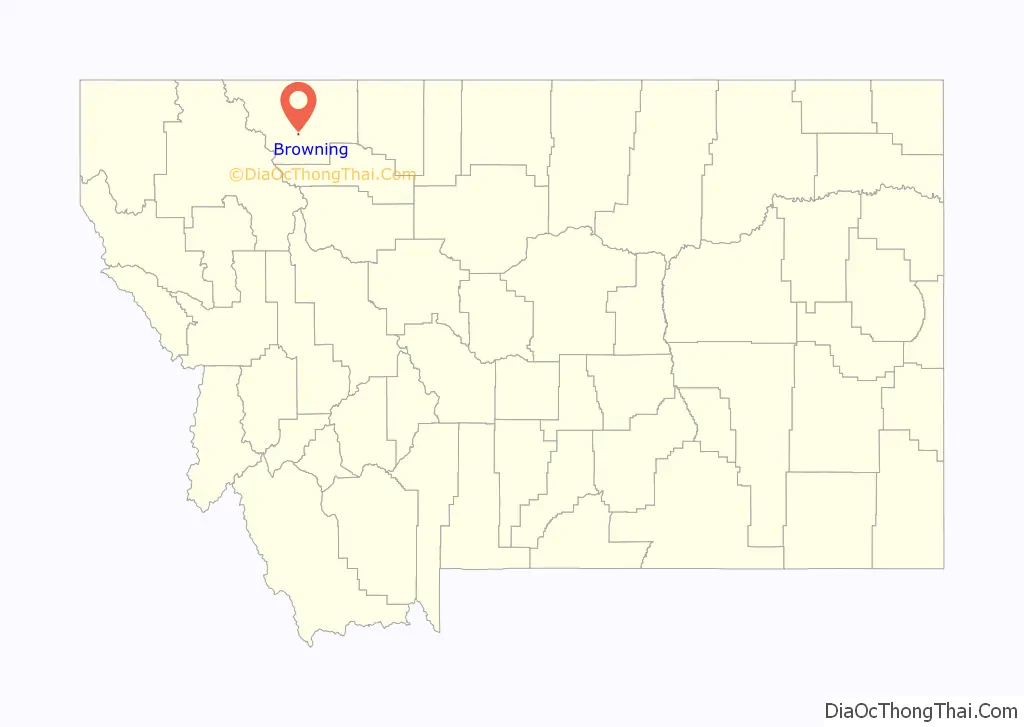
Browning location map. Where is Browning town?

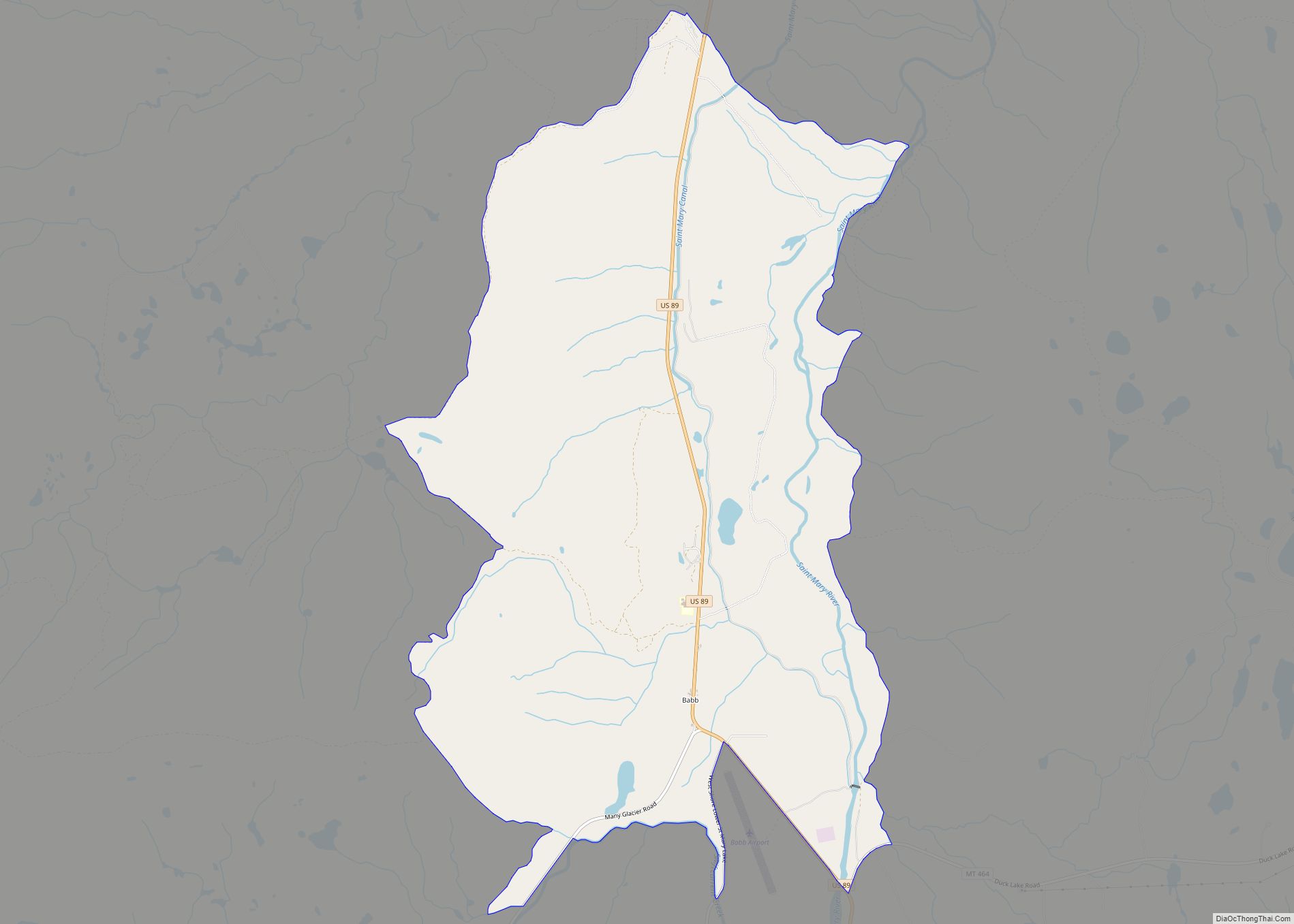
Browning Road Map
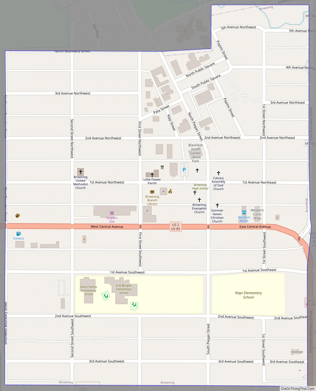
Browning city Satellite Map

Geography
According to the United States Census Bureau, the town has a total area of 0.27 square miles (0.70 km), all land.
Climate
Browning has a warm-summer humid continental climate (Dfb), bordering on a subarctic climate. From January 23 to January 24, 1916, the temperature fell 100 °F (56 °C), from 44 °F (7 °C) to −56 °F (−49 °C), the world record for greatest temperature drop in 24 hours. Browning’s climate is semi-arid and continental. Temperatures above 90 °F (32 °C) occur an average of twice annually, temperatures below 32 °F (0 °C) occur an average of 196 days annually, and those below 0 °F (−18 °C) occur an average of 32 days annually. There is a large degree of diurnal temperature variation that occurs in the summer, but not as much in the winter. Large temperature swings are possible, especially in fall, winter, and spring. Arctic-air intrusions from western Canada can bring sudden, severe temperature drops, while chinook events, with Pacific-originating warmer air descending from mountain ranges to the west, can result in dramatic temperature rises. Precipitation averages just over 14 inches per year, rendering the climate semi-arid. From November to March or April, the precipitation is primarily snow. Average monthly precipitation is lowest in winter and highest in the warm season. On average, June is the wettest month, with showers and thunderstorms most likely among all months.
See also
Map of Montana State and its subdivision:- Beaverhead
- Big Horn
- Blaine
- Broadwater
- Carbon
- Carter
- Cascade
- Chouteau
- Custer
- Daniels
- Dawson
- Deer Lodge
- Fallon
- Fergus
- Flathead
- Gallatin
- Garfield
- Glacier
- Golden Valley
- Granite
- Hill
- Jefferson
- Judith Basin
- Lake
- Lewis and Clark
- Liberty
- Lincoln
- Madison
- McCone
- Meagher
- Mineral
- Missoula
- Musselshell
- Park
- Petroleum
- Phillips
- Pondera
- Powder River
- Powell
- Prairie
- Ravalli
- Richland
- Roosevelt
- Rosebud
- Sanders
- Sheridan
- Silver Bow
- Stillwater
- Sweet Grass
- Teton
- Toole
- Treasure
- Valley
- Wheatland
- Wibaux
- Yellowstone
- Alabama
- Alaska
- Arizona
- Arkansas
- California
- Colorado
- Connecticut
- Delaware
- District of Columbia
- Florida
- Georgia
- Hawaii
- Idaho
- Illinois
- Indiana
- Iowa
- Kansas
- Kentucky
- Louisiana
- Maine
- Maryland
- Massachusetts
- Michigan
- Minnesota
- Mississippi
- Missouri
- Montana
- Nebraska
- Nevada
- New Hampshire
- New Jersey
- New Mexico
- New York
- North Carolina
- North Dakota
- Ohio
- Oklahoma
- Oregon
- Pennsylvania
- Rhode Island
- South Carolina
- South Dakota
- Tennessee
- Texas
- Utah
- Vermont
- Virginia
- Washington
- West Virginia
- Wisconsin
- Wyoming