Bigfork is a census-designated place (CDP) in Flathead County, Montana, United States. It is within Montana’s Rocky Mountains. The population was 4,270 at the 2010 census, up from 1,421 in 2000.
| Name: | Bigfork CDP |
|---|---|
| LSAD Code: | 57 |
| LSAD Description: | CDP (suffix) |
| State: | Montana |
| County: | Flathead County |
| Elevation: | 2,989 ft (911 m) |
| Total Area: | 37.31 sq mi (96.63 km²) |
| Land Area: | 31.25 sq mi (80.95 km²) |
| Water Area: | 6.05 sq mi (15.68 km²) |
| Total Population: | 5,118 |
| Population Density: | 163.76/sq mi (63.23/km²) |
| ZIP code: | 59911 |
| Area code: | 406 |
| FIPS code: | 3005875 |
| GNISfeature ID: | 0806295 |
| Website: | http://www.bigfork.org |
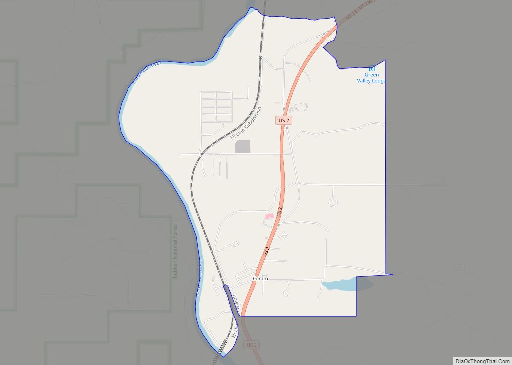
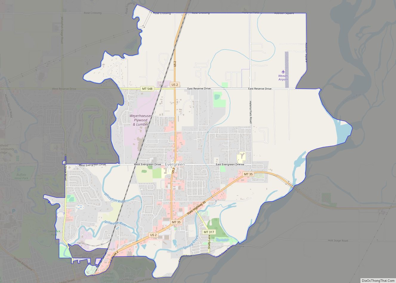
Online Interactive Map
Click on ![]() to view map in "full screen" mode.
to view map in "full screen" mode.
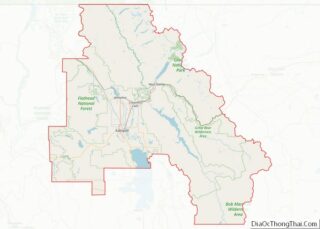
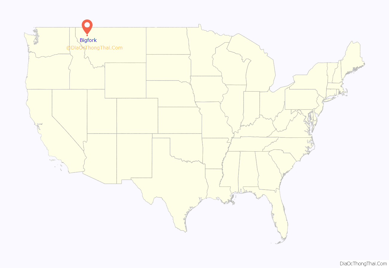
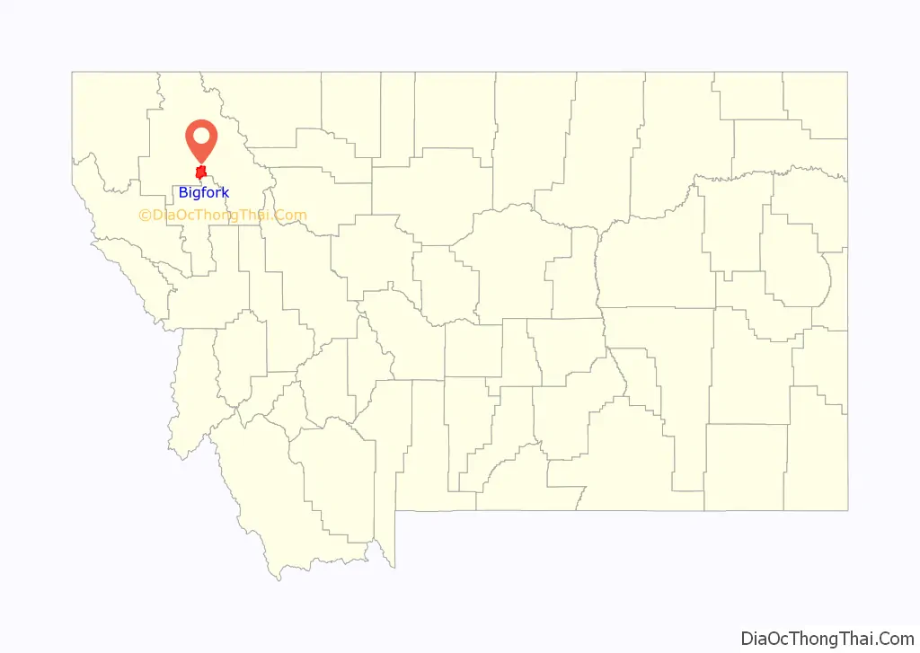
Bigfork location map. Where is Bigfork CDP?
History
Some say the name “Bigfork” is derived from the Salish name for the area. However, Bigfork is a fork where two rivers, the Flathead River and the Swan River, flow in to the Flathead Lake. There are reports of a homestead and orchard immediately north of Bigfork as early as 1885. Everit L. Sliter set out 500 apple, cherry, plum, and pear trees in 1892 on Flathead Lake’s east shore. He became the first postmaster in 1901. In 1902, he platted the Bigfork townsite at the mouth of the Swan River. The east shore has since become a major cherry-growing area. Wayfarers State Park lies just south of the community.
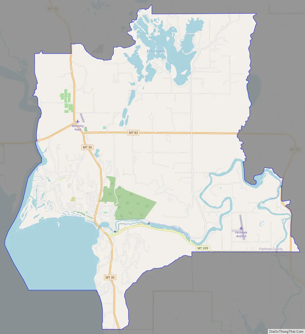
Bigfork Road Map
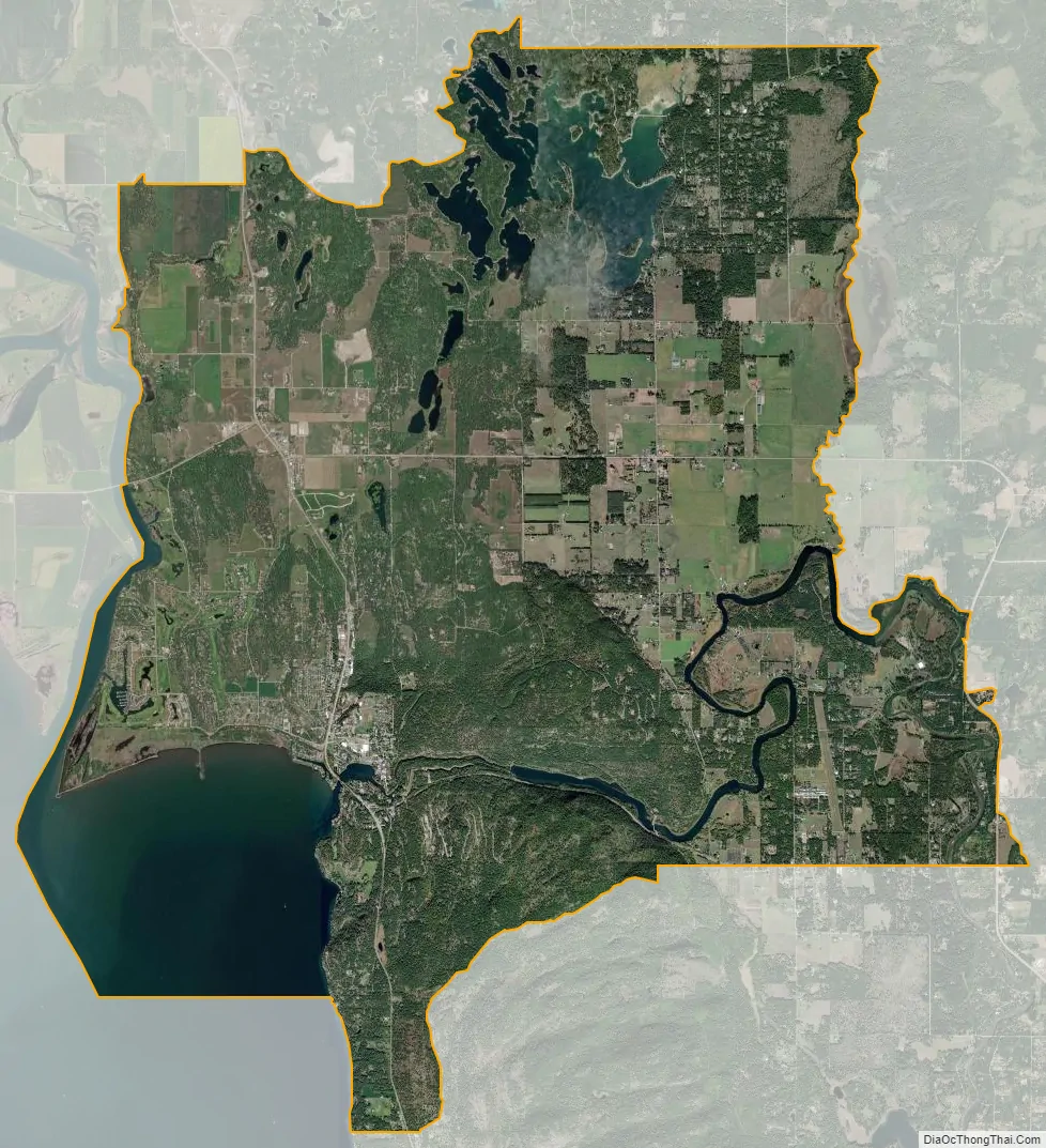
Bigfork city Satellite Map
Geography
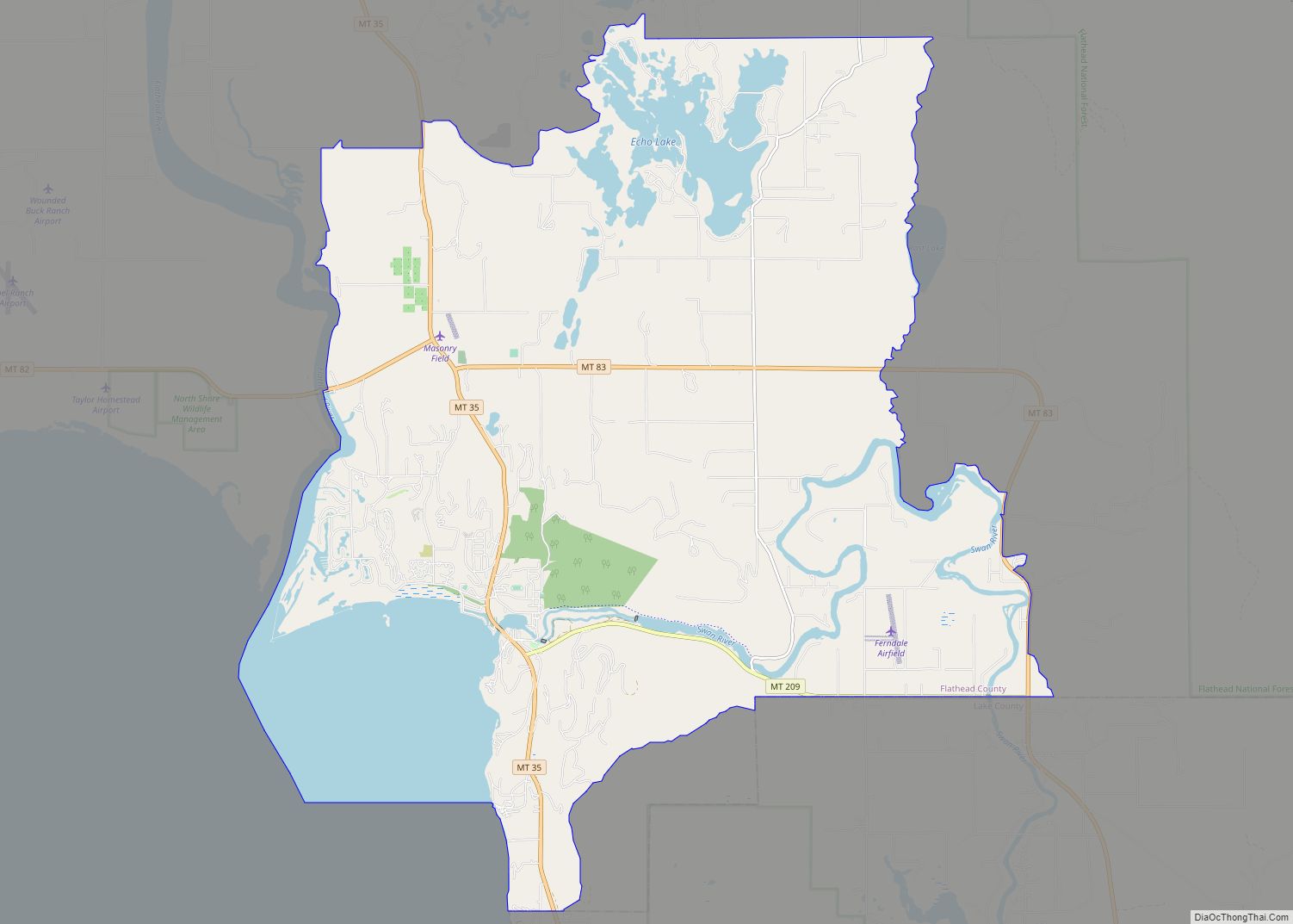
Bigfork is located in south-central Flathead County at 48°3′55″N 114°4′54″W / 48.06528°N 114.08167°W / 48.06528; -114.08167 (48.065214, -114.081700), at the north end of Flathead Lake. The western edge of the CDP is the Flathead River, the primary inflow of the lake. The Swan River flows into Flathead Lake from the east, entering the lake at the center of town. The CDP extends south to the Lake County line; east to Mud Lake, Mud Creek, and the north–south part of the Swan River; and northwards to the roads north of Echo Lake.
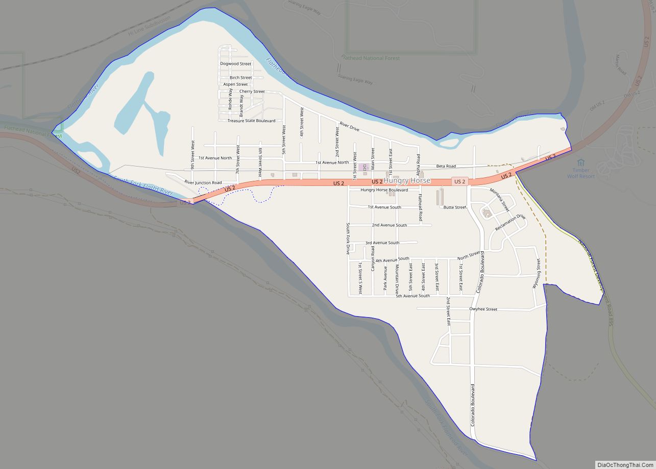
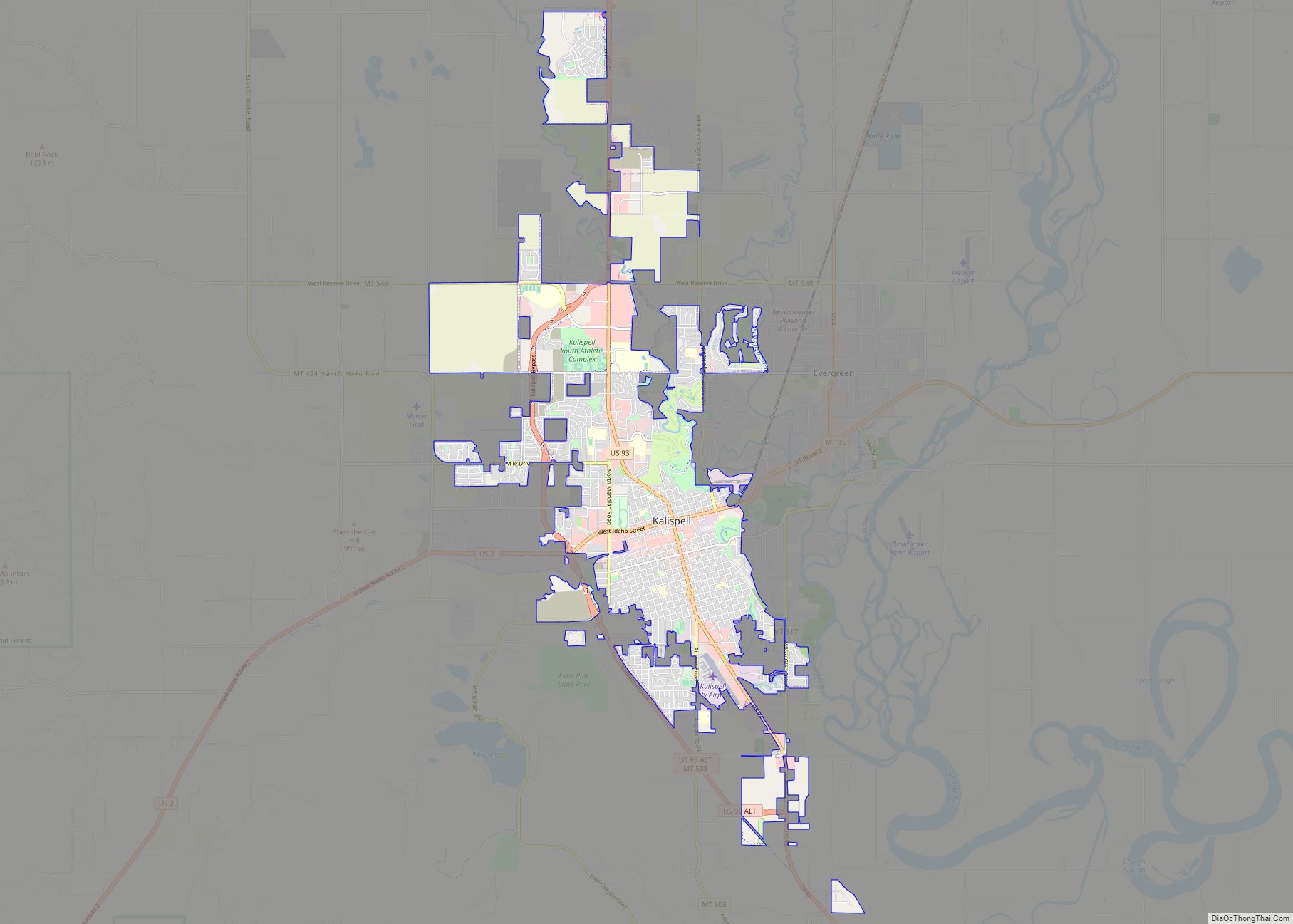
Kalispell is 18 miles (29 km) to the northwest, via Montana Highway 35, Montana Highway 82, and U.S. Route 93. Highway 35 runs through the center of Bigfork and proceeds south along the eastern shore of Flathead Lake, rejoining US 93 at Polson.
According to the United States Census Bureau, the Bigfork CDP has a total area of 37.3 square miles (96.6 km), of which 31.2 square miles (80.9 km) is land and 6.1 square miles (15.7 km), or 16.25%, is water.
See also
Map of Montana State and its subdivision:- Beaverhead
- Big Horn
- Blaine
- Broadwater
- Carbon
- Carter
- Cascade
- Chouteau
- Custer
- Daniels
- Dawson
- Deer Lodge
- Fallon
- Fergus
- Flathead
- Gallatin
- Garfield
- Glacier
- Golden Valley
- Granite
- Hill
- Jefferson
- Judith Basin
- Lake
- Lewis and Clark
- Liberty
- Lincoln
- Madison
- McCone
- Meagher
- Mineral
- Missoula
- Musselshell
- Park
- Petroleum
- Phillips
- Pondera
- Powder River
- Powell
- Prairie
- Ravalli
- Richland
- Roosevelt
- Rosebud
- Sanders
- Sheridan
- Silver Bow
- Stillwater
- Sweet Grass
- Teton
- Toole
- Treasure
- Valley
- Wheatland
- Wibaux
- Yellowstone
- Alabama
- Alaska
- Arizona
- Arkansas
- California
- Colorado
- Connecticut
- Delaware
- District of Columbia
- Florida
- Georgia
- Hawaii
- Idaho
- Illinois
- Indiana
- Iowa
- Kansas
- Kentucky
- Louisiana
- Maine
- Maryland
- Massachusetts
- Michigan
- Minnesota
- Mississippi
- Missouri
- Montana
- Nebraska
- Nevada
- New Hampshire
- New Jersey
- New Mexico
- New York
- North Carolina
- North Dakota
- Ohio
- Oklahoma
- Oregon
- Pennsylvania
- Rhode Island
- South Carolina
- South Dakota
- Tennessee
- Texas
- Utah
- Vermont
- Virginia
- Washington
- West Virginia
- Wisconsin
- Wyoming