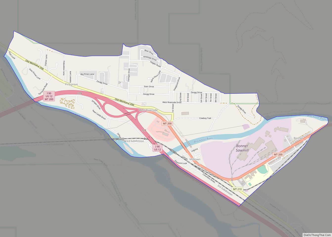
Bonner-West Riverside (Salish: Nʔaycčstm, “Place of the Big Bull Trout”) is a census-designated place (CDP) in Missoula County, Montana, United States, including the unincorporated communities of Bonner, Milltown (formerly Riverside), West Riverside, and Pinegrove. It is part of the Missoula, Montana Metropolitan Statistical Area. The population was 1,663 at the 2010 census, a decline from its population of 1,693 in 2000.
Bonner was named for Edward L. Bonner, president of the Missoula and Bitter Root Valley Railroad. Bonner was also a partner in Eddy, Hammond & Company, who were contracted by Northern Pacific Railroad for lumber to build their railway between the Thompson and Blackfoot rivers. Eddy, Hammond & Company founded the Montana Improvement Company, which built a sawmill in Bonner in 1886.
Milltown is named for the mill. West Riverside is named for its position west of Milltown, formerly called Riverside for its position at the confluence of the Blackfoot and Clark Fork Rivers. Pinegrove was named either for the Pine family that settled there or for the many large pines in the area. The associated Piltzville was named for Billy Piltz, early mill worker and yard boss.
| Name: | Bonner-West Riverside CDP |
|---|---|
| LSAD Code: | 57 |
| LSAD Description: | CDP (suffix) |
| State: | Montana |
| County: | Missoula County |
| Total Area: | 1.61 sq mi (4.18 km²) |
| Land Area: | 1.53 sq mi (3.97 km²) |
| Water Area: | 0.08 sq mi (0.21 km²) |
| Total Population: | 1,690 |
| Population Density: | 1,101.69/sq mi (425.34/km²) |
| Area code: | 406 |
| FIPS code: | 3008462 |
Online Interactive Map
Click on ![]() to view map in "full screen" mode.
to view map in "full screen" mode.
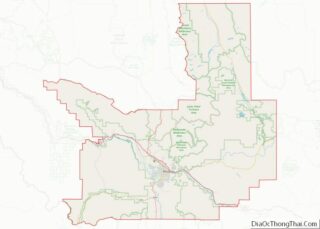
Bonner-West Riverside location map. Where is Bonner-West Riverside CDP?

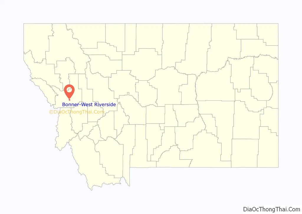
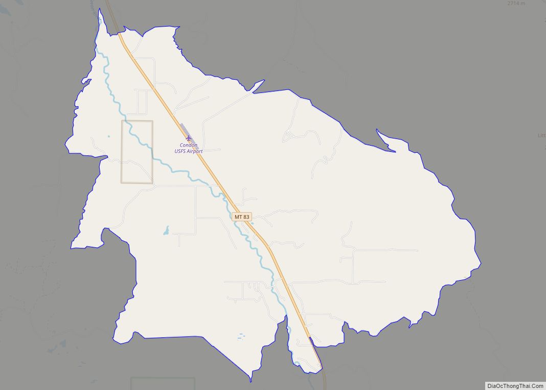
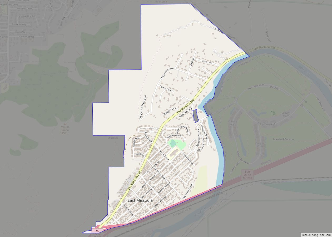
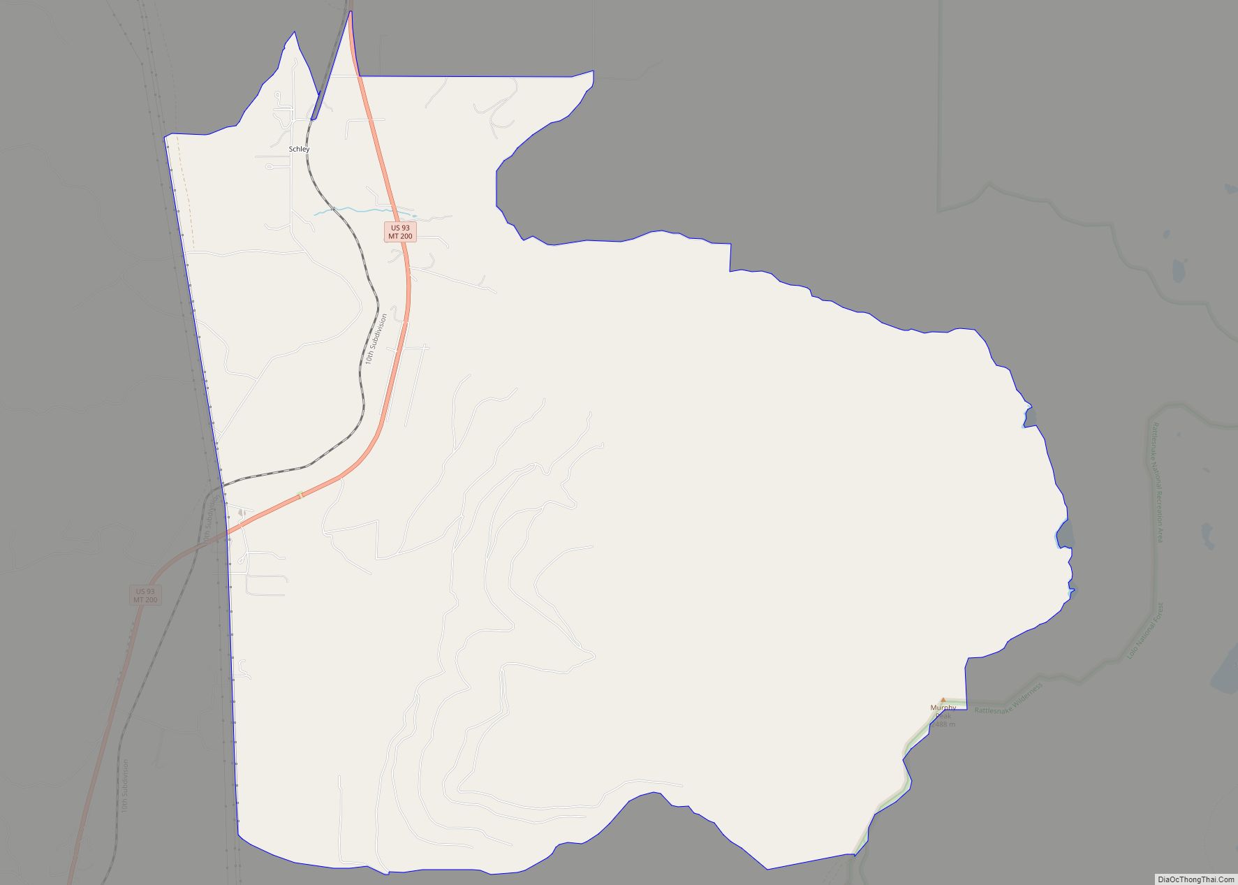
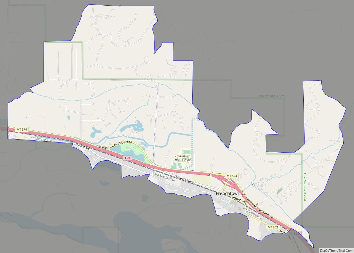
Bonner-West Riverside Road Map

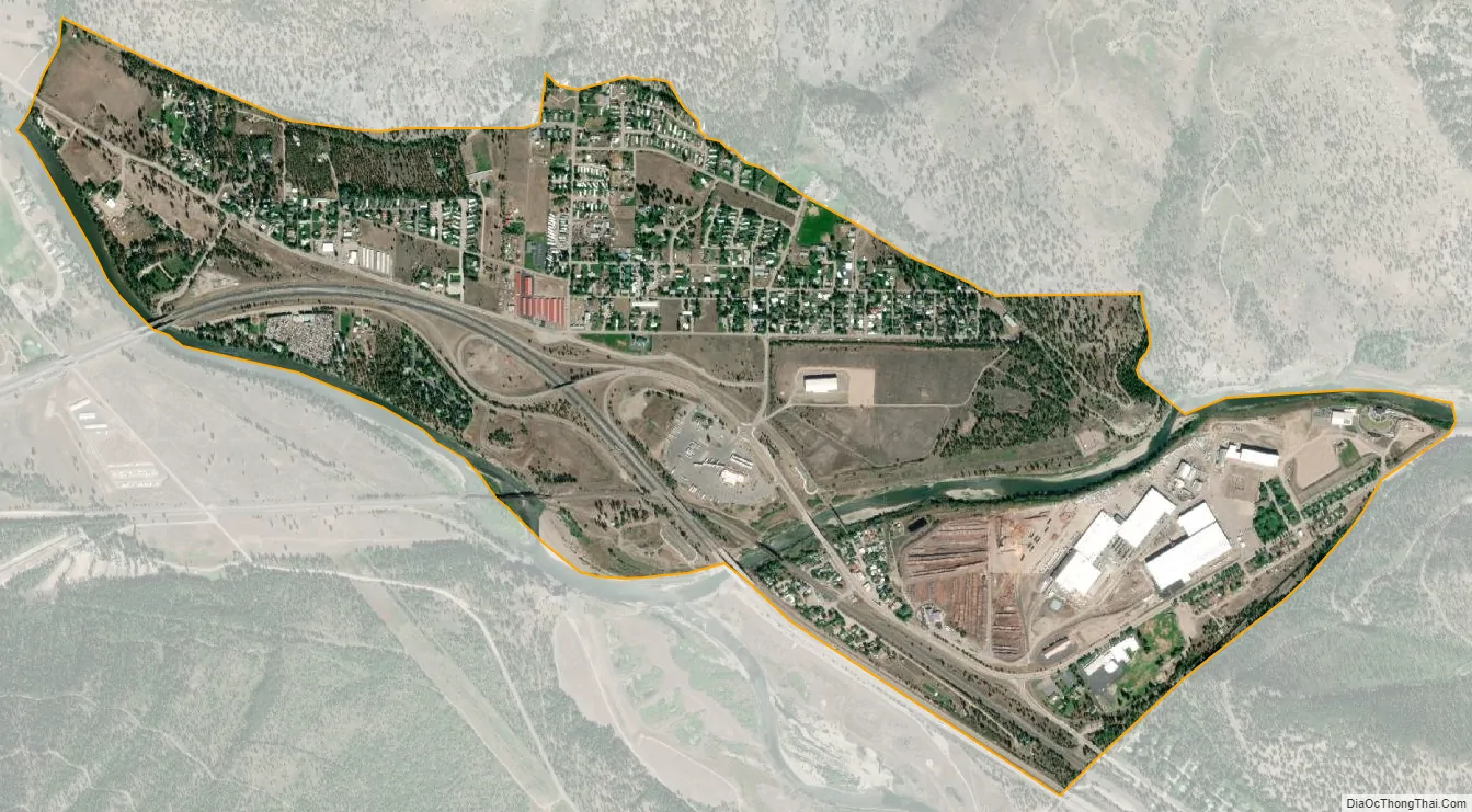
Bonner-West Riverside city Satellite Map
Geography
Bonner-West Riverside is located at 46°52′40″N 113°53′20″W / 46.87778°N 113.88889°W / 46.87778; -113.88889 (46.877718, -113.888915), on the Blackfoot River.
According to the United States Census Bureau, the CDP has a total area of 1.7 square miles (4.4 km), of which 1.5 square miles (3.9 km) is land and 0.1 square miles (0.26 km) (6.63%) is water.
Climate
This climatic region is typified by large seasonal temperature differences, with warm to hot (and often humid) summers and cold (sometimes severely cold) winters. According to the Köppen Climate Classification system, Bonner-West Riverside has a humid continental climate, abbreviated “Dfb” on climate maps.
See also
Map of Montana State and its subdivision:- Beaverhead
- Big Horn
- Blaine
- Broadwater
- Carbon
- Carter
- Cascade
- Chouteau
- Custer
- Daniels
- Dawson
- Deer Lodge
- Fallon
- Fergus
- Flathead
- Gallatin
- Garfield
- Glacier
- Golden Valley
- Granite
- Hill
- Jefferson
- Judith Basin
- Lake
- Lewis and Clark
- Liberty
- Lincoln
- Madison
- McCone
- Meagher
- Mineral
- Missoula
- Musselshell
- Park
- Petroleum
- Phillips
- Pondera
- Powder River
- Powell
- Prairie
- Ravalli
- Richland
- Roosevelt
- Rosebud
- Sanders
- Sheridan
- Silver Bow
- Stillwater
- Sweet Grass
- Teton
- Toole
- Treasure
- Valley
- Wheatland
- Wibaux
- Yellowstone
- Alabama
- Alaska
- Arizona
- Arkansas
- California
- Colorado
- Connecticut
- Delaware
- District of Columbia
- Florida
- Georgia
- Hawaii
- Idaho
- Illinois
- Indiana
- Iowa
- Kansas
- Kentucky
- Louisiana
- Maine
- Maryland
- Massachusetts
- Michigan
- Minnesota
- Mississippi
- Missouri
- Montana
- Nebraska
- Nevada
- New Hampshire
- New Jersey
- New Mexico
- New York
- North Carolina
- North Dakota
- Ohio
- Oklahoma
- Oregon
- Pennsylvania
- Rhode Island
- South Carolina
- South Dakota
- Tennessee
- Texas
- Utah
- Vermont
- Virginia
- Washington
- West Virginia
- Wisconsin
- Wyoming