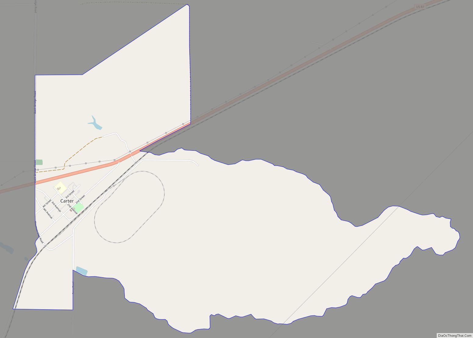
Carter is a census-designated place (CDP) in Chouteau County, Montana, United States. The population was 58 at the 2010 census.
Carter’s name was changed from Sidney in 1905 to honor Thomas H. Carter, the state’s first congressional representative.
| Name: | Carter CDP |
|---|---|
| LSAD Code: | 57 |
| LSAD Description: | CDP (suffix) |
| State: | Montana |
| County: | Chouteau County |
| Elevation: | 3,123 ft (952 m) |
| Total Area: | 2.90 sq mi (7.51 km²) |
| Land Area: | 2.90 sq mi (7.51 km²) |
| Water Area: | 0.00 sq mi (0.00 km²) |
| Total Population: | 65 |
| Population Density: | 22.43/sq mi (8.66/km²) |
| ZIP code: | 59420 |
| Area code: | 406 |
| FIPS code: | 3012625 |
| GNISfeature ID: | 0769624 |
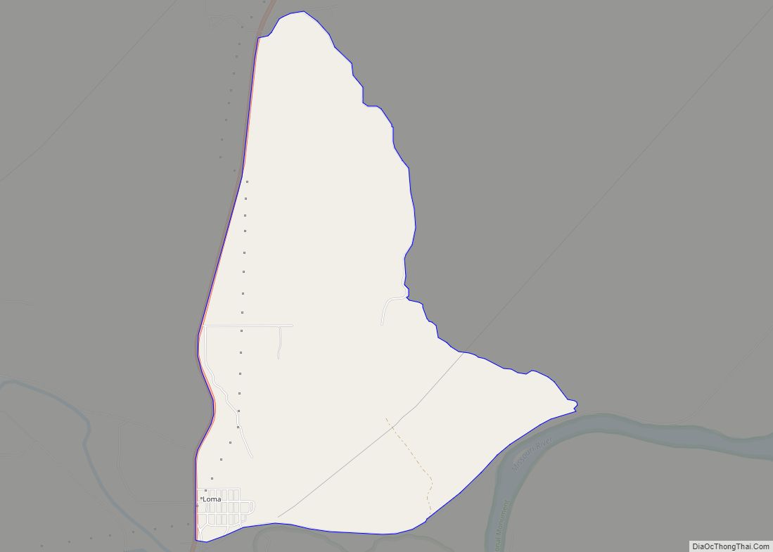
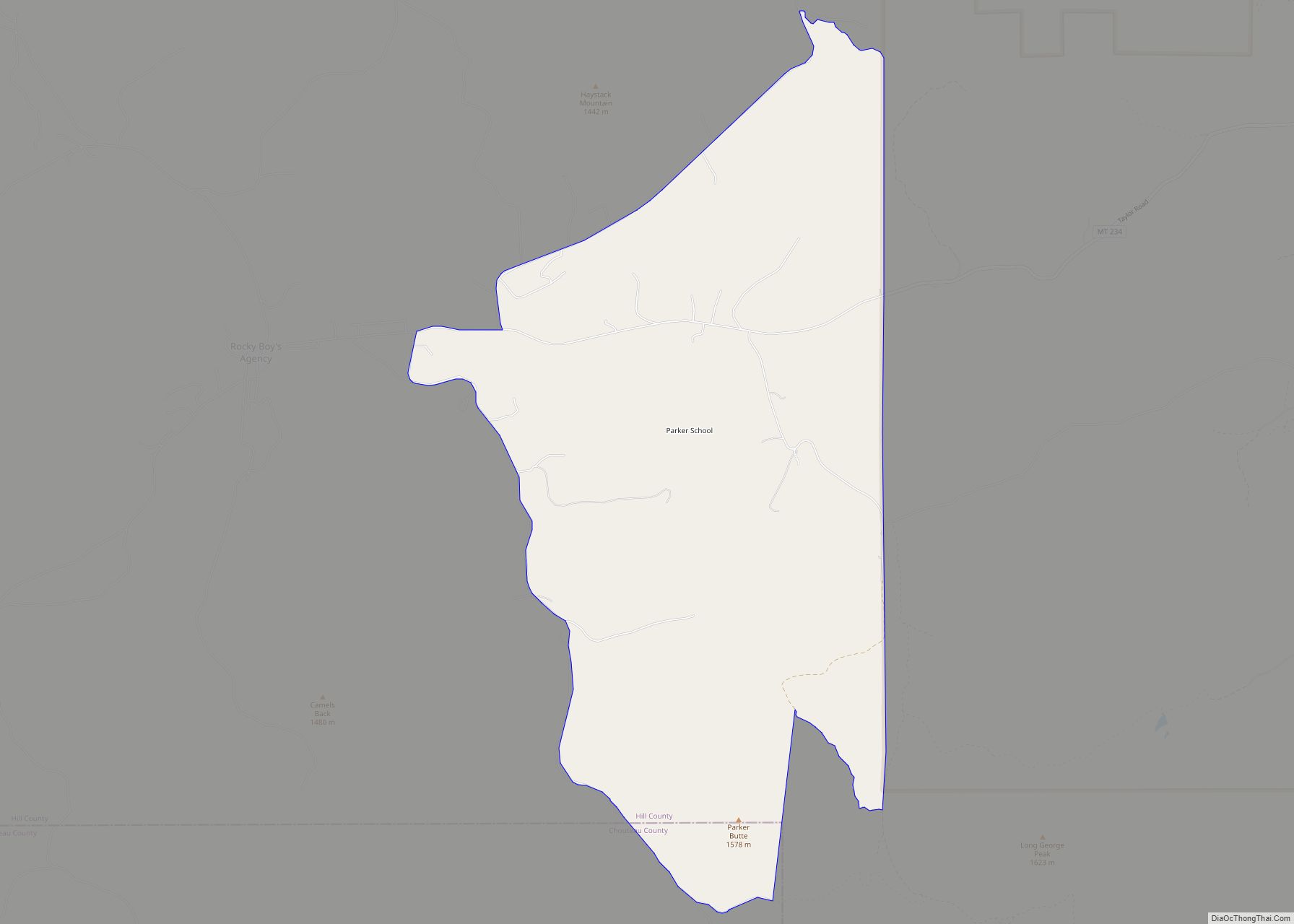
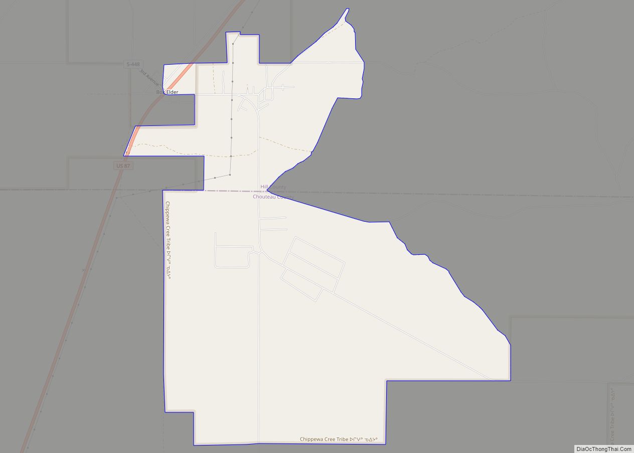
Online Interactive Map
Click on ![]() to view map in "full screen" mode.
to view map in "full screen" mode.
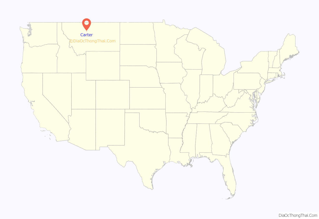
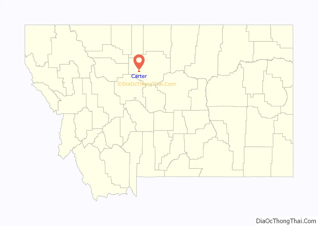
Carter location map. Where is Carter CDP?
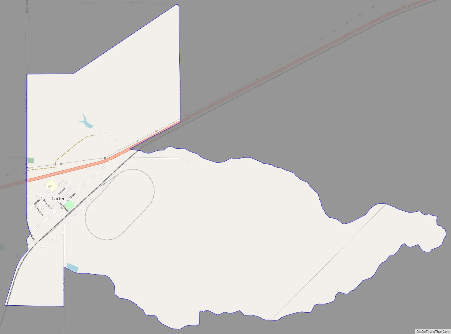
Carter Road Map
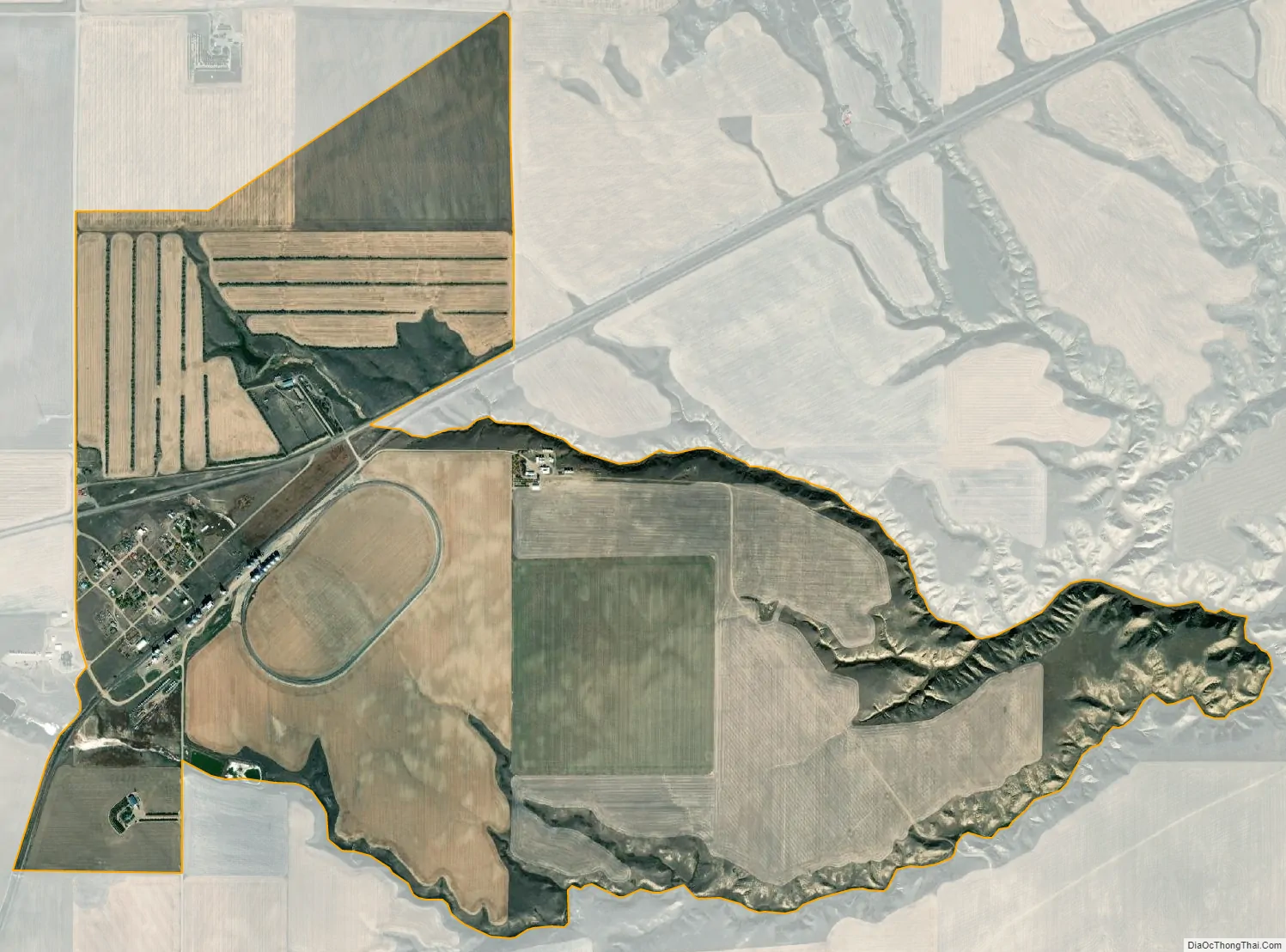
Carter city Satellite Map
Geography
Carter is located in western Chouteau County at 47°46′53″N 110°57′21″W / 47.781252°N 110.955800°W / 47.781252; -110.955800 (47.781252, -110.955800). It is along U.S. Route 87, which leads northeast 14 miles (23 km) to Fort Benton, the county seat, and southwest 26 miles (42 km) to Great Falls.
According to the United States Census Bureau, the CDP has a total area of 2.9 square miles (7.5 km), of which 0.004 square miles (0.01 km), or 0.14%, is water.
Climate
According to the Köppen Climate Classification system, Carter has a semi-arid climate, abbreviated “BSk” on climate maps.
See also
Map of Montana State and its subdivision:- Beaverhead
- Big Horn
- Blaine
- Broadwater
- Carbon
- Carter
- Cascade
- Chouteau
- Custer
- Daniels
- Dawson
- Deer Lodge
- Fallon
- Fergus
- Flathead
- Gallatin
- Garfield
- Glacier
- Golden Valley
- Granite
- Hill
- Jefferson
- Judith Basin
- Lake
- Lewis and Clark
- Liberty
- Lincoln
- Madison
- McCone
- Meagher
- Mineral
- Missoula
- Musselshell
- Park
- Petroleum
- Phillips
- Pondera
- Powder River
- Powell
- Prairie
- Ravalli
- Richland
- Roosevelt
- Rosebud
- Sanders
- Sheridan
- Silver Bow
- Stillwater
- Sweet Grass
- Teton
- Toole
- Treasure
- Valley
- Wheatland
- Wibaux
- Yellowstone
- Alabama
- Alaska
- Arizona
- Arkansas
- California
- Colorado
- Connecticut
- Delaware
- District of Columbia
- Florida
- Georgia
- Hawaii
- Idaho
- Illinois
- Indiana
- Iowa
- Kansas
- Kentucky
- Louisiana
- Maine
- Maryland
- Massachusetts
- Michigan
- Minnesota
- Mississippi
- Missouri
- Montana
- Nebraska
- Nevada
- New Hampshire
- New Jersey
- New Mexico
- New York
- North Carolina
- North Dakota
- Ohio
- Oklahoma
- Oregon
- Pennsylvania
- Rhode Island
- South Carolina
- South Dakota
- Tennessee
- Texas
- Utah
- Vermont
- Virginia
- Washington
- West Virginia
- Wisconsin
- Wyoming