Clyde Park is a town in Park County, Montana, United States. The population was 332 at the 2020 census. Originally known as Sunnyside, the town was renamed in the 1890s.
| Name: | Clyde Park town |
|---|---|
| LSAD Code: | 43 |
| LSAD Description: | town (suffix) |
| State: | Montana |
| County: | Park County |
| Elevation: | 4,865 ft (1,483 m) |
| Total Area: | 0.37 sq mi (0.97 km²) |
| Land Area: | 0.37 sq mi (0.97 km²) |
| Water Area: | 0.00 sq mi (0.00 km²) |
| Total Population: | 332 |
| Population Density: | 890.08/sq mi (343.24/km²) |
| ZIP code: | 59018 |
| Area code: | 406 |
| FIPS code: | 3015550 |
| GNISfeature ID: | 0769943 |
Online Interactive Map
Click on ![]() to view map in "full screen" mode.
to view map in "full screen" mode.
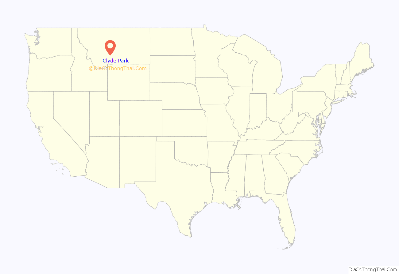
Clyde Park location map. Where is Clyde Park town?
History
Founded in the 1870s, the present-day site of Clyde Park was founded as Sunnyside by Texas cattlemen who were attracted to the area for grazing their herds. The post office in Sunnyside was established in 1887. In 1887, a post office called Clyde Park was established at the historic Harvey and Tregloan Ranch, where John Harvey owned a Clydesdale horse which he had imported from England in the late 1890s. A stagecoach from Livingston, Montana, reached the town in the 1880s.
In 1901, the Clyde Park post office was merged with Sunnyside, and the town was renamed Clyde Park. However, the reason is unclear. Another source suggests that the town was called Clyde Park in honor of Clyde Durand, a local rancher; or for Harvey’s Clydesdale horse. The Harvey and Tregloan Ranch eventually was sold to Robert Shiplet. The present-day Shiplet Ranch has historic barns that date to the 1870s or 80s, and its livestock brand is notably the shape of Montana.
In 1909 the Northern Pacific Railway established a branch line to the town, and in 1912 it incorporated as Clyde Park. That year it was reported to have a bank, a newspaper, a creamery, and an elevator. A major fire burned much of the town in 1919.
Today, Clyde Park is the home of the G Bar M Ranch, a 3,200-acre dude ranch that opened in 1934. The ranch itself dates back to 1900. The town is also home to the Old Settler’s Days, an annual celebration of pioneer history. It includes an art show and parade.
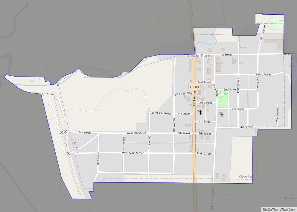
Clyde Park Road Map
Clyde Park city Satellite Map
Geography
The town is in the Shields River valley. Area farmers have won world prizes for raising grain.
Clyde Park is at 45°53′6″N 110°36′13″W / 45.88500°N 110.60361°W / 45.88500; -110.60361 (45.884921, -110.603485). According to the United States Census Bureau, the town has an area of 0.32 square miles (0.83 km), all land.
Climate
This climatic region is typified by large seasonal temperature differences, with warm to hot (and often humid) summers and cold (sometimes severely cold) winters. According to the Köppen Climate Classification system, Clyde Park has a humid continental climate, abbreviated “Dfb” on climate maps.
See also
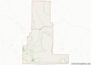
Map of Montana State and its subdivision:- Beaverhead
- Big Horn
- Blaine
- Broadwater
- Carbon
- Carter
- Cascade
- Chouteau
- Custer
- Daniels
- Dawson
- Deer Lodge
- Fallon
- Fergus
- Flathead
- Gallatin
- Garfield
- Glacier
- Golden Valley
- Granite
- Hill
- Jefferson
- Judith Basin
- Lake
- Lewis and Clark
- Liberty
- Lincoln
- Madison
- McCone
- Meagher
- Mineral
- Missoula
- Musselshell
- Park
- Petroleum
- Phillips
- Pondera
- Powder River
- Powell
- Prairie
- Ravalli
- Richland
- Roosevelt
- Rosebud
- Sanders
- Sheridan
- Silver Bow
- Stillwater
- Sweet Grass
- Teton
- Toole
- Treasure
- Valley
- Wheatland
- Wibaux
- Yellowstone
- Alabama
- Alaska
- Arizona
- Arkansas
- California
- Colorado
- Connecticut
- Delaware
- District of Columbia
- Florida
- Georgia
- Hawaii
- Idaho
- Illinois
- Indiana
- Iowa
- Kansas
- Kentucky
- Louisiana
- Maine
- Maryland
- Massachusetts
- Michigan
- Minnesota
- Mississippi
- Missouri
- Montana
- Nebraska
- Nevada
- New Hampshire
- New Jersey
- New Mexico
- New York
- North Carolina
- North Dakota
- Ohio
- Oklahoma
- Oregon
- Pennsylvania
- Rhode Island
- South Carolina
- South Dakota
- Tennessee
- Texas
- Utah
- Vermont
- Virginia
- Washington
- West Virginia
- Wisconsin
- Wyoming
