Silver Gate is an unincorporated community and census-designated place (CDP) in Park County, Montana, United States. As of the 2010 census, it had a population of 20. Prior to 2010, it was part of the Cooke City-Silver Gate CDP.
The community sits northeast of Yellowstone National Park on the Beartooth Highway (U.S. Route 212). It is the closest community to the park’s Northeast Entrance Station.
| Name: | Silver Gate CDP |
|---|---|
| LSAD Code: | 57 |
| LSAD Description: | CDP (suffix) |
| State: | Montana |
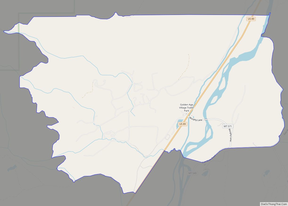
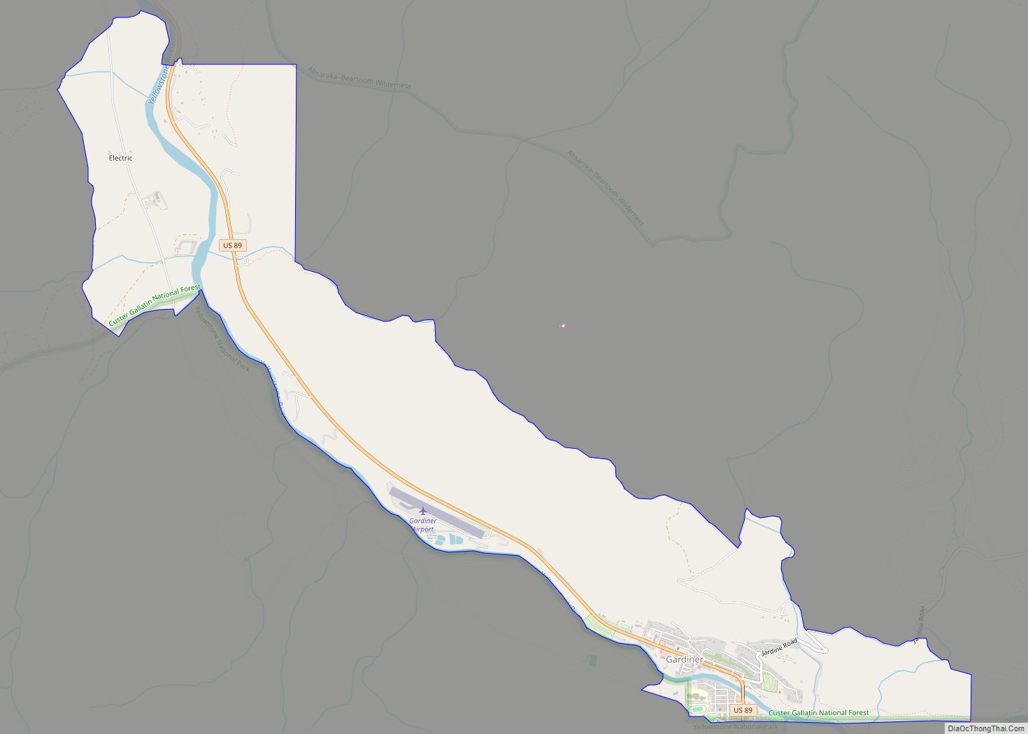
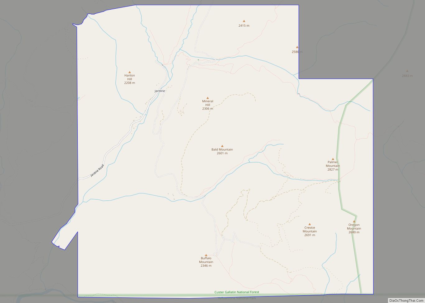
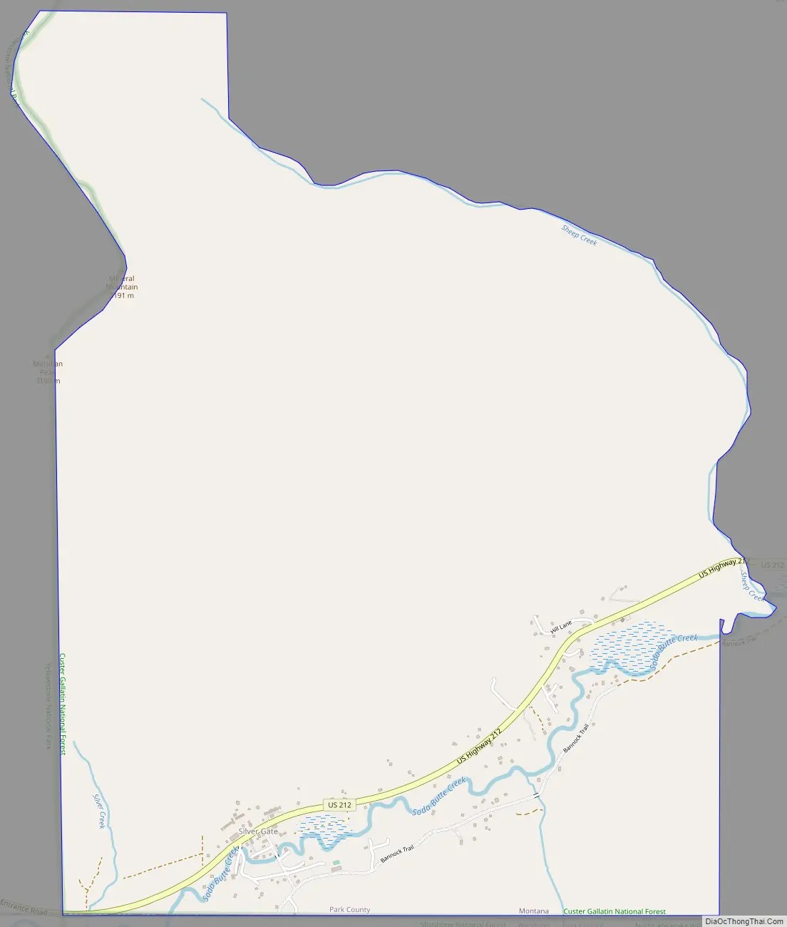
| County: | Park County |
| Elevation: | 7,608 ft (2,318.9 m) |
| Total Area: | 10.0 sq mi (25.9 km²) |
| Land Area: | 10.0 sq mi (25.9 km²) |
| Water Area: | 0.0 sq mi (0.0 km²) |
| Total Population: | 140 |
| Population Density: | 14.0/sq mi (5.4/km²) |
| Area code: | 406 |
| FIPS code: | 3068425 |
| GNISfeature ID: | 2583847 |
Online Interactive Map
Click on ![]() to view map in "full screen" mode.
to view map in "full screen" mode.
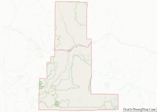
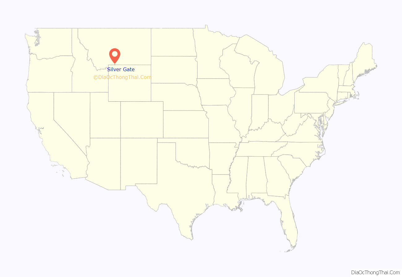
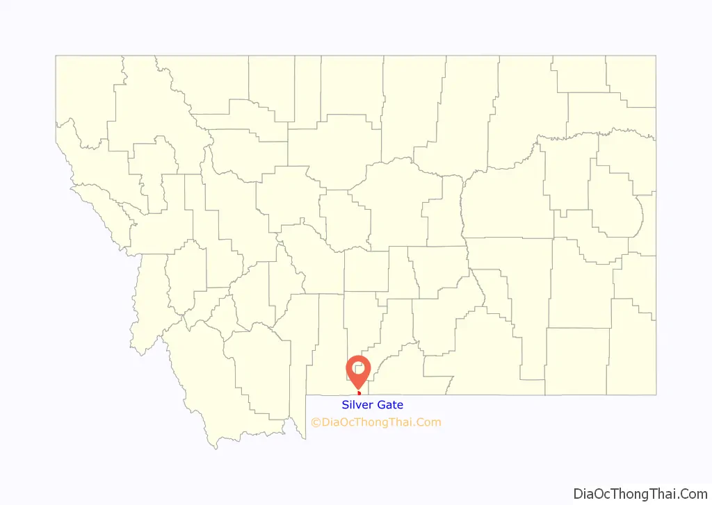
Silver Gate location map. Where is Silver Gate CDP?
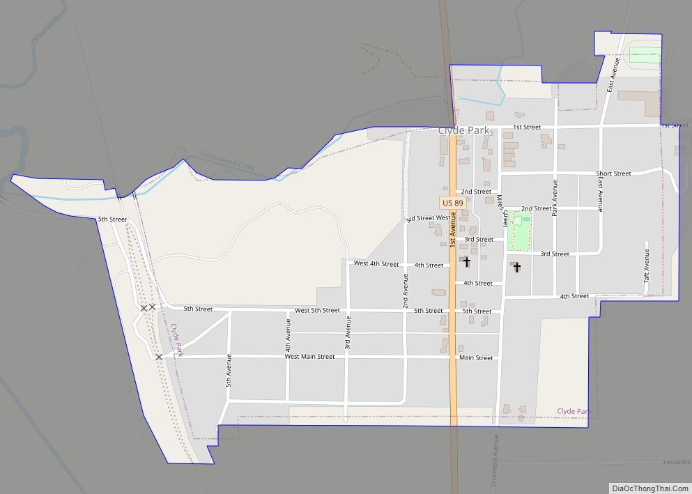
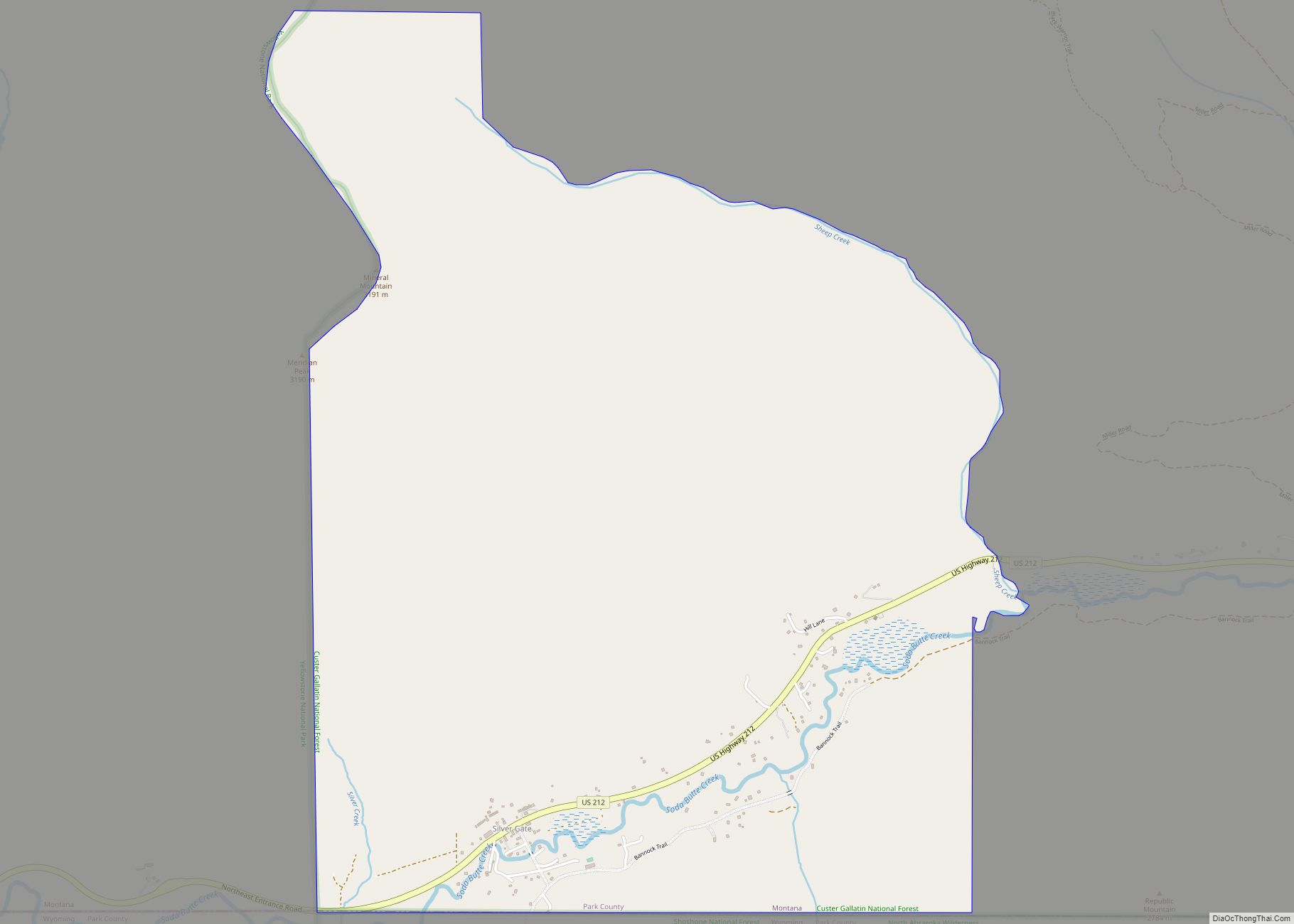
Silver Gate Road Map
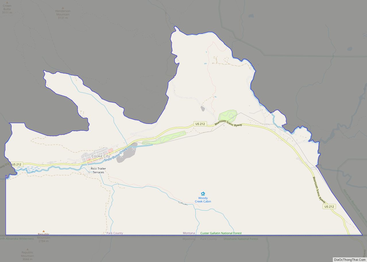
Silver Gate city Satellite Map

Geography
Silver Gate is in the southeast part of Park County, bordered to the south by the North Absaroka Wilderness within Shoshone National Forest in the state of Wyoming, to the west by Yellowstone National Park, and to the east by Cooke City. The two towns sit in the valley of Soda Butte Creek, which flows southwest into Wyoming to join the Lamar River within Yellowstone Park. The valley is part of the Yellowstone River watershed.
See also
Map of Montana State and its subdivision:- Beaverhead
- Big Horn
- Blaine
- Broadwater
- Carbon
- Carter
- Cascade
- Chouteau
- Custer
- Daniels
- Dawson
- Deer Lodge
- Fallon
- Fergus
- Flathead
- Gallatin
- Garfield
- Glacier
- Golden Valley
- Granite
- Hill
- Jefferson
- Judith Basin
- Lake
- Lewis and Clark
- Liberty
- Lincoln
- Madison
- McCone
- Meagher
- Mineral
- Missoula
- Musselshell
- Park
- Petroleum
- Phillips
- Pondera
- Powder River
- Powell
- Prairie
- Ravalli
- Richland
- Roosevelt
- Rosebud
- Sanders
- Sheridan
- Silver Bow
- Stillwater
- Sweet Grass
- Teton
- Toole
- Treasure
- Valley
- Wheatland
- Wibaux
- Yellowstone
- Alabama
- Alaska
- Arizona
- Arkansas
- California
- Colorado
- Connecticut
- Delaware
- District of Columbia
- Florida
- Georgia
- Hawaii
- Idaho
- Illinois
- Indiana
- Iowa
- Kansas
- Kentucky
- Louisiana
- Maine
- Maryland
- Massachusetts
- Michigan
- Minnesota
- Mississippi
- Missouri
- Montana
- Nebraska
- Nevada
- New Hampshire
- New Jersey
- New Mexico
- New York
- North Carolina
- North Dakota
- Ohio
- Oklahoma
- Oregon
- Pennsylvania
- Rhode Island
- South Carolina
- South Dakota
- Tennessee
- Texas
- Utah
- Vermont
- Virginia
- Washington
- West Virginia
- Wisconsin
- Wyoming