Fortine is a census-designated place (CDP) in Lincoln County, Montana, United States. The population was 206 at the 2021 census.
| Name: | Fortine CDP |
|---|---|
| LSAD Code: | 57 |
| LSAD Description: | CDP (suffix) |
| State: | Montana |
| County: | Lincoln County |
| Elevation: | 2,973 ft (906 m) |
| Total Area: | 7.16 sq mi (18.55 km²) |
| Land Area: | 7.09 sq mi (18.36 km²) |
| Water Area: | 0.07 sq mi (0.18 km²) |
| Total Population: | 317 |
| Population Density: | 44.71/sq mi (17.26/km²) |
| ZIP code: | 59918 |
| Area code: | 406 |
| FIPS code: | 3028150 |
| GNISfeature ID: | 0771521 |
Online Interactive Map
Click on ![]() to view map in "full screen" mode.
to view map in "full screen" mode.
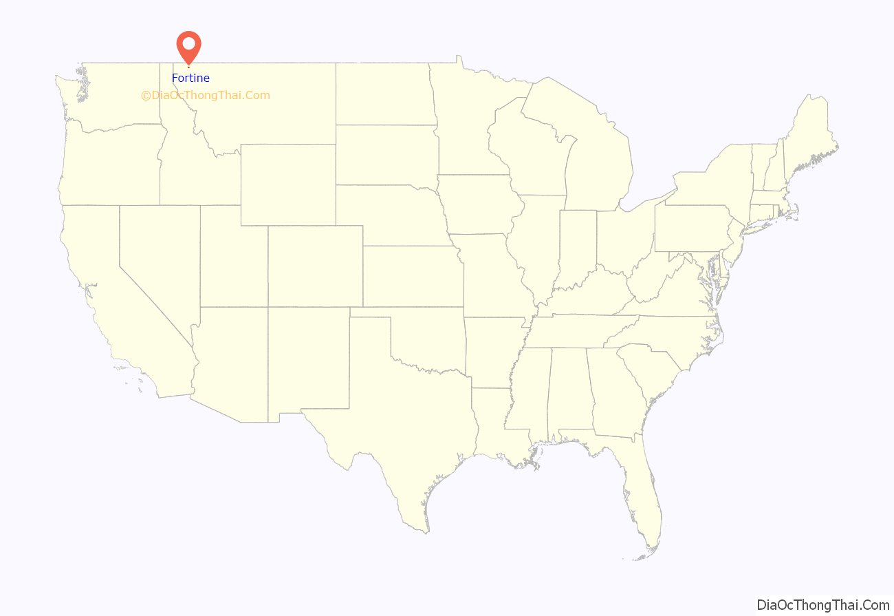
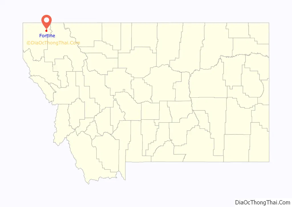
Fortine location map. Where is Fortine CDP?
History
Fortine was named for an early settler, Octave Fortin. It was a station on the Great Northern Railway line. The first post office was established in 1905.
Like many other towns in northwestern Montana, Fortine prospered with the development of the timber industry between 1908 and 1928.
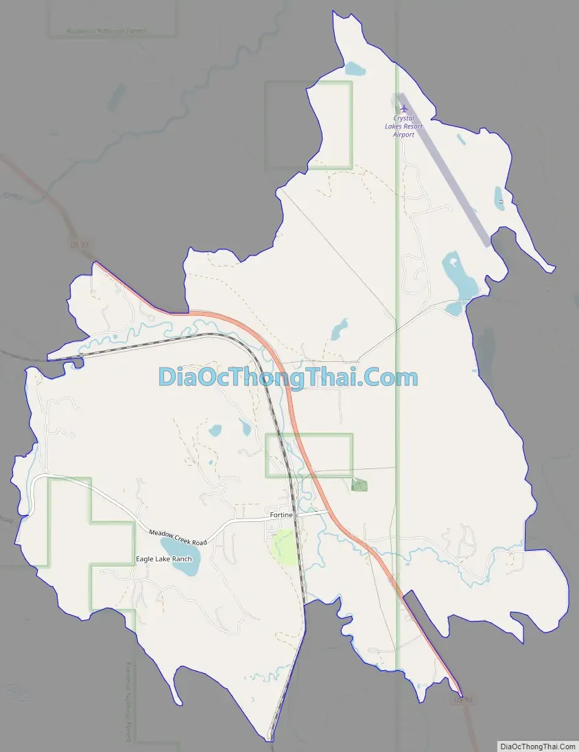
Fortine Road Map
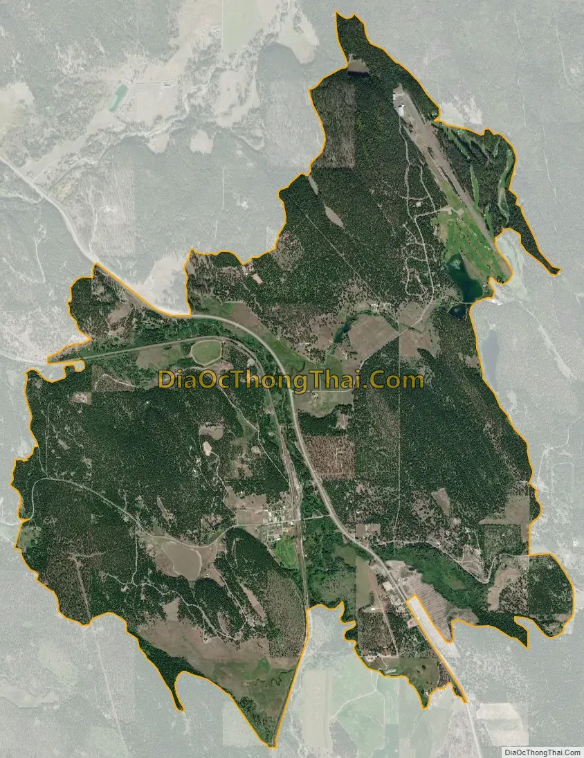
Fortine city Satellite Map
Geography
Fortine is located in northeastern Lincoln County at 48°45′52″N 114°54′11″W / 48.76444°N 114.90306°W / 48.76444; -114.90306 (48.764516, -114.902945). U.S. Route 93 passes through the community, leading northwest 11 miles (18 km) to Eureka and southeast 40 miles (64 km) to Whitefish.
According to the United States Census Bureau, the CDP has a total area of 7.1 square miles (18.5 km), of which 7.1 square miles (18.4 km) are land and 0.1 square miles (0.2 km), or 0.99%, are water. The community is in the valley of Fortine Creek, where it is joined by Deep Creek from the east and Murphy Creek from the southeast. Fortine Creek flows northwest to the Tobacco River, a northwest-flowing tributary of the Kootenai River, part of the Columbia River watershed.
See also
Map of Montana State and its subdivision:- Beaverhead
- Big Horn
- Blaine
- Broadwater
- Carbon
- Carter
- Cascade
- Chouteau
- Custer
- Daniels
- Dawson
- Deer Lodge
- Fallon
- Fergus
- Flathead
- Gallatin
- Garfield
- Glacier
- Golden Valley
- Granite
- Hill
- Jefferson
- Judith Basin
- Lake
- Lewis and Clark
- Liberty
- Lincoln
- Madison
- McCone
- Meagher
- Mineral
- Missoula
- Musselshell
- Park
- Petroleum
- Phillips
- Pondera
- Powder River
- Powell
- Prairie
- Ravalli
- Richland
- Roosevelt
- Rosebud
- Sanders
- Sheridan
- Silver Bow
- Stillwater
- Sweet Grass
- Teton
- Toole
- Treasure
- Valley
- Wheatland
- Wibaux
- Yellowstone
- Alabama
- Alaska
- Arizona
- Arkansas
- California
- Colorado
- Connecticut
- Delaware
- District of Columbia
- Florida
- Georgia
- Hawaii
- Idaho
- Illinois
- Indiana
- Iowa
- Kansas
- Kentucky
- Louisiana
- Maine
- Maryland
- Massachusetts
- Michigan
- Minnesota
- Mississippi
- Missouri
- Montana
- Nebraska
- Nevada
- New Hampshire
- New Jersey
- New Mexico
- New York
- North Carolina
- North Dakota
- Ohio
- Oklahoma
- Oregon
- Pennsylvania
- Rhode Island
- South Carolina
- South Dakota
- Tennessee
- Texas
- Utah
- Vermont
- Virginia
- Washington
- West Virginia
- Wisconsin
- Wyoming


