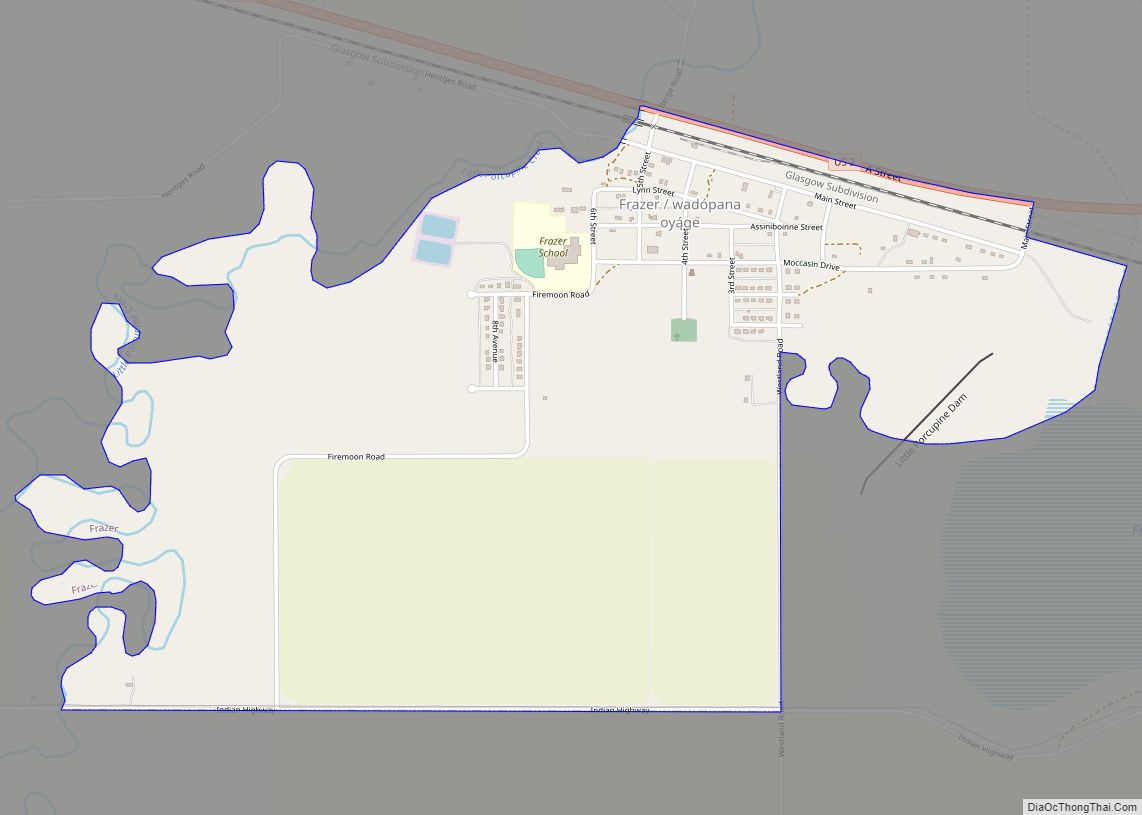
Frazer is a census-designated place (CDP) in Valley County, Montana, United States, located within the Fort Peck Indian Reservation, about 80 miles from the Canadian border. The population was 420 at the 2020 census.
The St. Paul, Minneapolis & Manitoba Railway established Frazer as a station in 1888. A post office opened in 1907.
| Name: | Frazer CDP |
|---|---|
| LSAD Code: | 57 |
| LSAD Description: | CDP (suffix) |
| State: | Montana |
| County: | Valley County |
| Elevation: | 2,060 ft (628 m) |
| Total Area: | 1.65 sq mi (4.27 km²) |
| Land Area: | 1.62 sq mi (4.20 km²) |
| Water Area: | 0.03 sq mi (0.07 km²) |
| Total Population: | 354 |
| Population Density: | 218.11/sq mi (84.23/km²) |
| ZIP code: | 59225 |
| Area code: | 406 |
| FIPS code: | 3029275 |
| GNISfeature ID: | 0771614 |
Online Interactive Map
Click on ![]() to view map in "full screen" mode.
to view map in "full screen" mode.
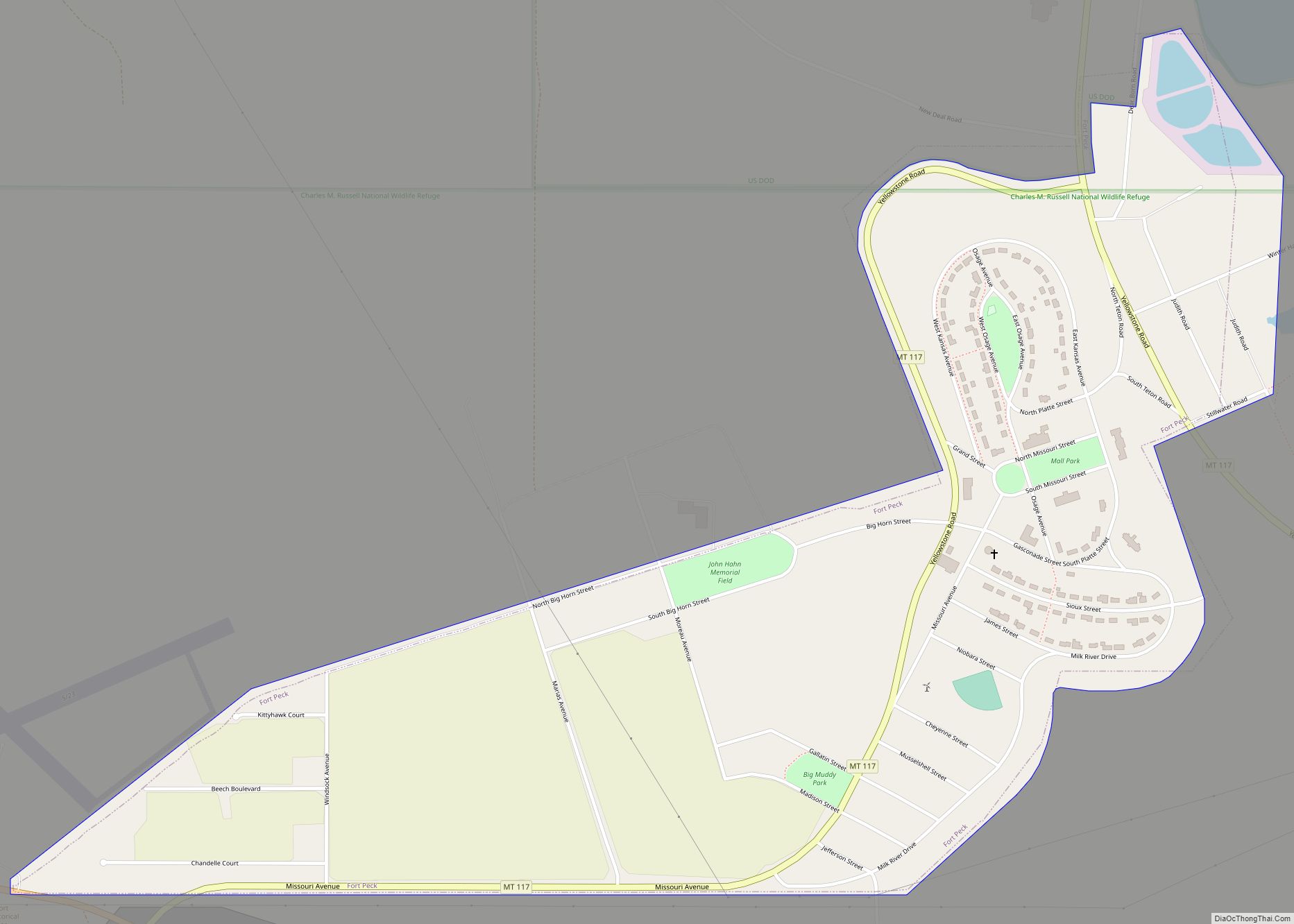
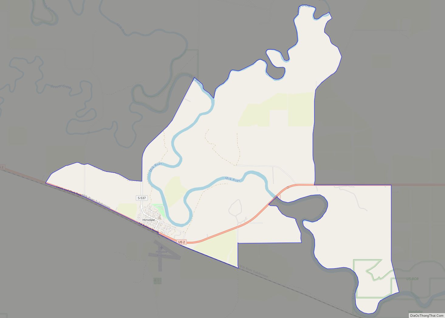
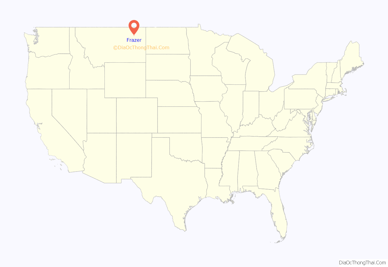
Frazer location map. Where is Frazer CDP?
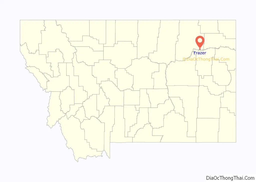
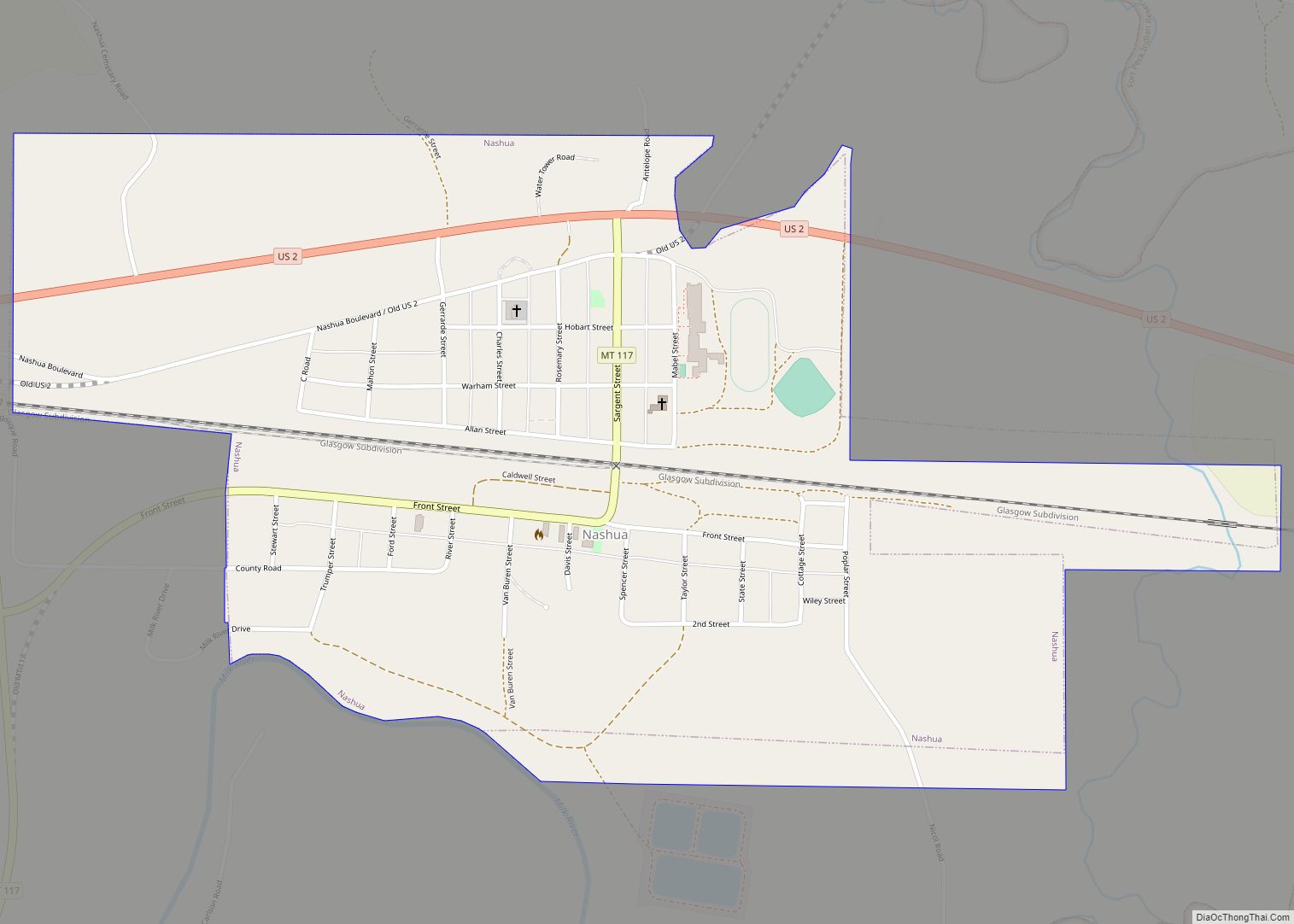
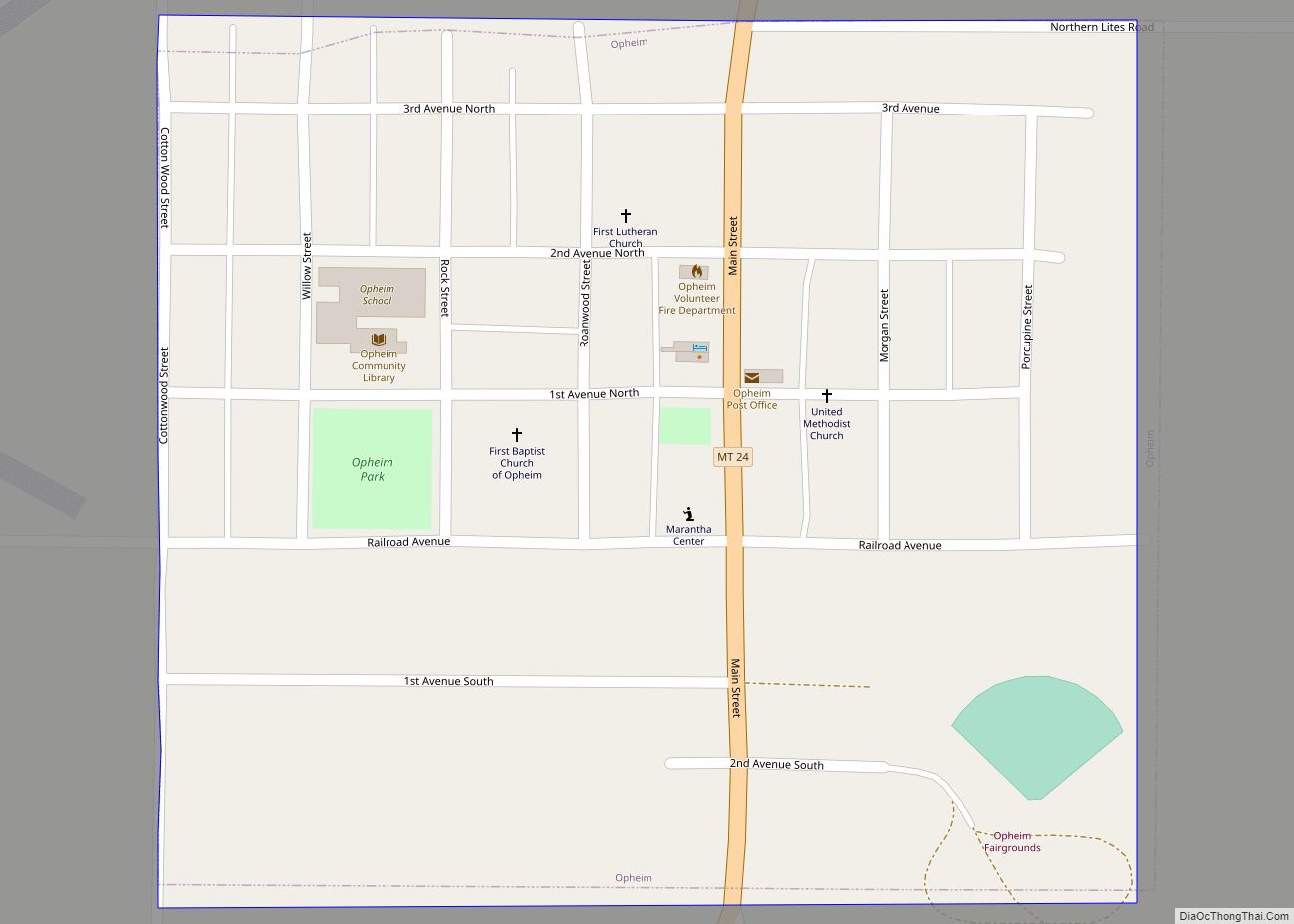
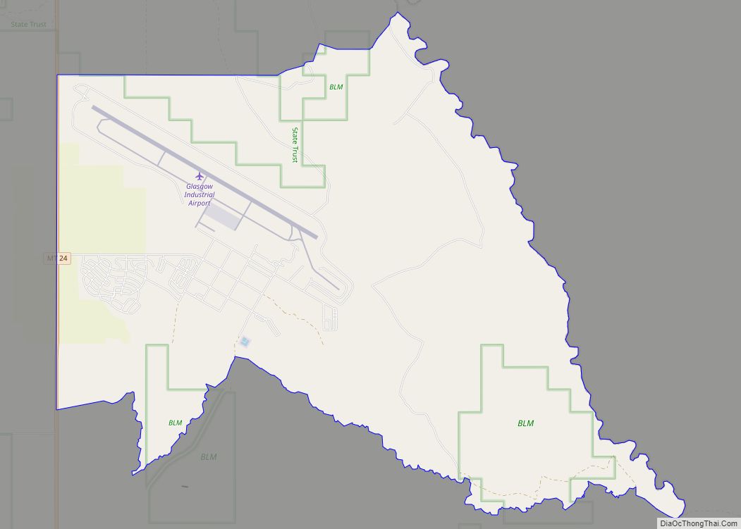
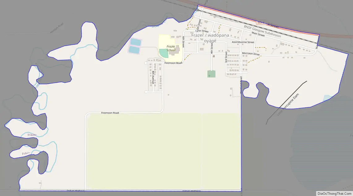
Frazer Road Map
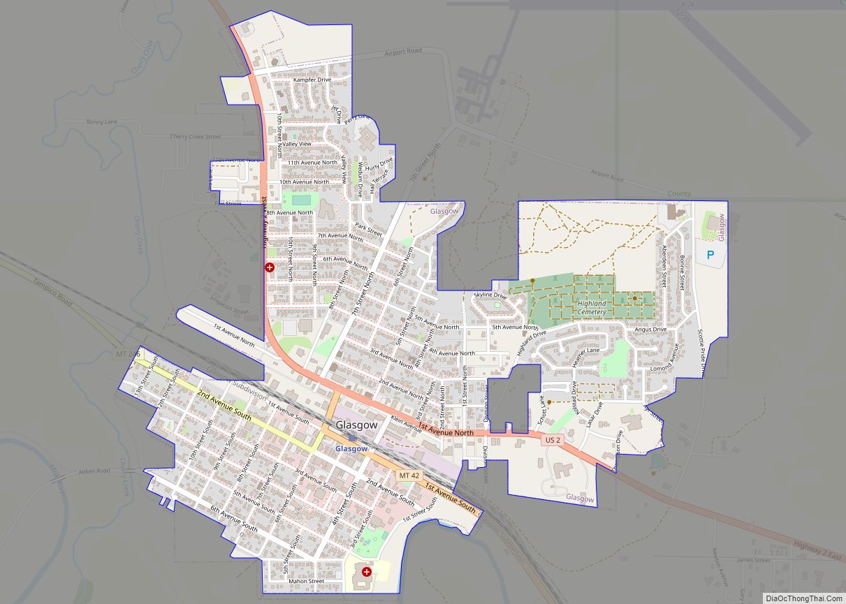
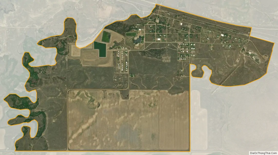
Frazer city Satellite Map
Geography
Frazer is located at 48°02′56″N 106°02′55″W / 48.048907°N 106.048572°W / 48.048907; -106.048572 (48.048907, -106.048572).
According to the United States Census Bureau, the CDP has a total area of 1.7 square miles (4.4 km), of which 1.7 square miles (4.4 km) is land and 0.04 square miles (0.10 km) (1.75%) is water.
See also
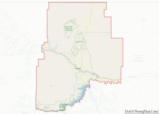
Map of Montana State and its subdivision:- Beaverhead
- Big Horn
- Blaine
- Broadwater
- Carbon
- Carter
- Cascade
- Chouteau
- Custer
- Daniels
- Dawson
- Deer Lodge
- Fallon
- Fergus
- Flathead
- Gallatin
- Garfield
- Glacier
- Golden Valley
- Granite
- Hill
- Jefferson
- Judith Basin
- Lake
- Lewis and Clark
- Liberty
- Lincoln
- Madison
- McCone
- Meagher
- Mineral
- Missoula
- Musselshell
- Park
- Petroleum
- Phillips
- Pondera
- Powder River
- Powell
- Prairie
- Ravalli
- Richland
- Roosevelt
- Rosebud
- Sanders
- Sheridan
- Silver Bow
- Stillwater
- Sweet Grass
- Teton
- Toole
- Treasure
- Valley
- Wheatland
- Wibaux
- Yellowstone
- Alabama
- Alaska
- Arizona
- Arkansas
- California
- Colorado
- Connecticut
- Delaware
- District of Columbia
- Florida
- Georgia
- Hawaii
- Idaho
- Illinois
- Indiana
- Iowa
- Kansas
- Kentucky
- Louisiana
- Maine
- Maryland
- Massachusetts
- Michigan
- Minnesota
- Mississippi
- Missouri
- Montana
- Nebraska
- Nevada
- New Hampshire
- New Jersey
- New Mexico
- New York
- North Carolina
- North Dakota
- Ohio
- Oklahoma
- Oregon
- Pennsylvania
- Rhode Island
- South Carolina
- South Dakota
- Tennessee
- Texas
- Utah
- Vermont
- Virginia
- Washington
- West Virginia
- Wisconsin
- Wyoming