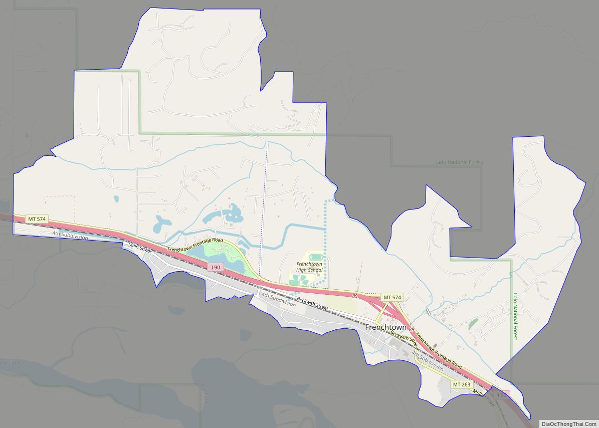
Frenchtown is a census-designated place (CDP) in Missoula County, Montana, United States. It is part of the ‘Missoula, Montana Metropolitan Statistical Area’. The population was 1,825 at the 2010 census, an increase from its population of 883 in 2000. Frenchtown is also known as an early mixed ancestry settlement in the Pacific Northwest history, sometimes referred as a French Canadian or a Métis settlement.
Nearby is the Frenchtown Pond State Park.
| Name: | Frenchtown CDP |
|---|---|
| LSAD Code: | 57 |
| LSAD Description: | CDP (suffix) |
| State: | Montana |
| County: | Missoula County |
| Elevation: | 3,045 ft (928 m) |
| Total Area: | 6.78 sq mi (17.55 km²) |
| Land Area: | 6.74 sq mi (17.45 km²) |
| Water Area: | 0.04 sq mi (0.10 km²) |
| Total Population: | 1,958 |
| Population Density: | 290.68/sq mi (112.23/km²) |
| ZIP code: | 59834 |
| Area code: | 406 |
| FIPS code: | 3029350 |
| GNISfeature ID: | 0783746 |
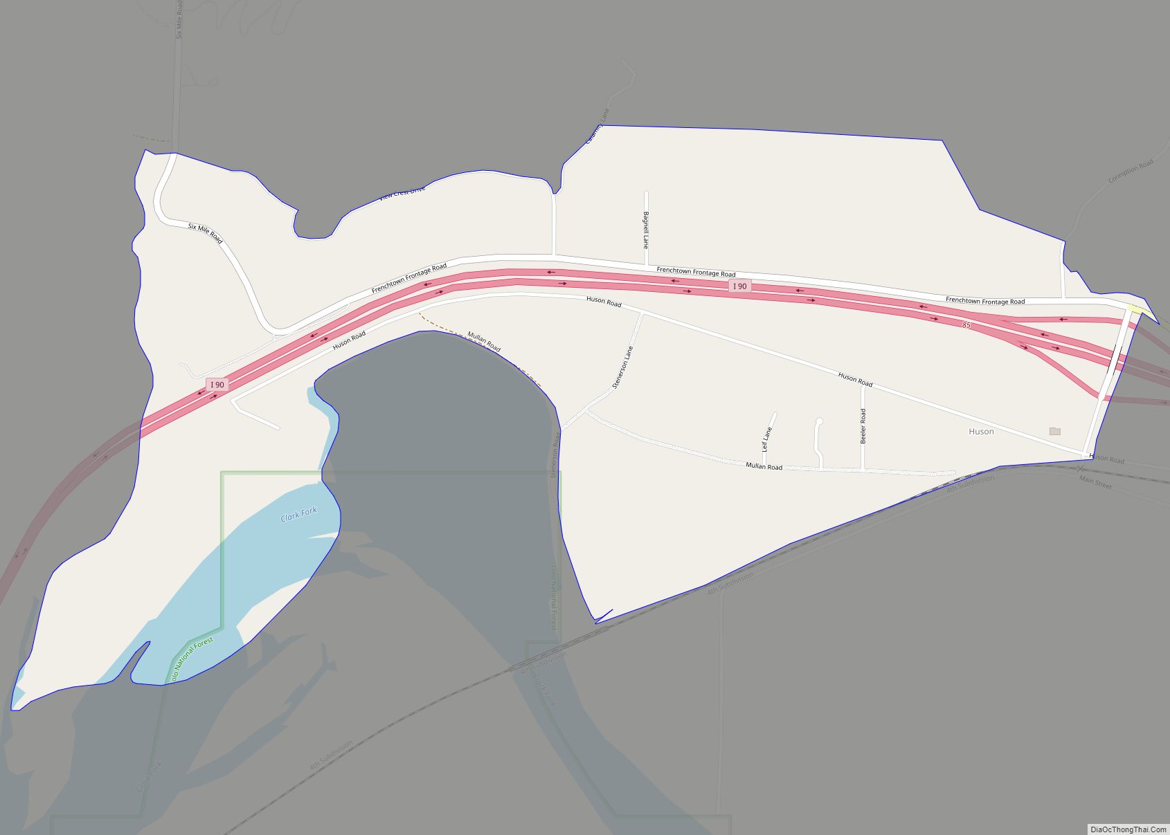
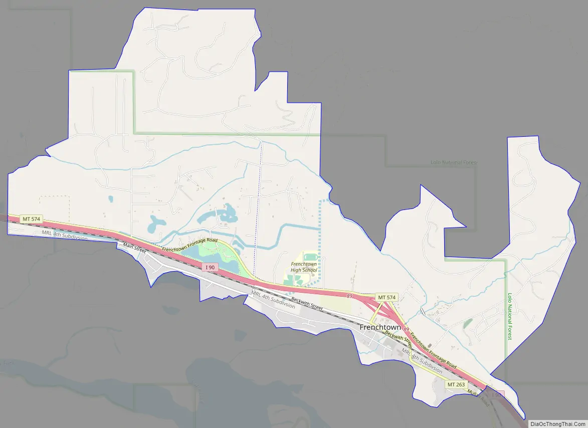
Online Interactive Map
Click on ![]() to view map in "full screen" mode.
to view map in "full screen" mode.
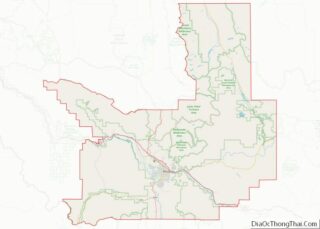
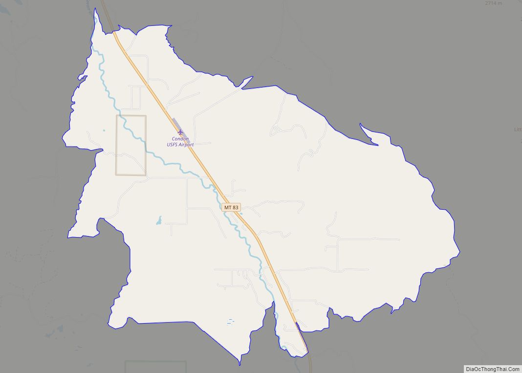
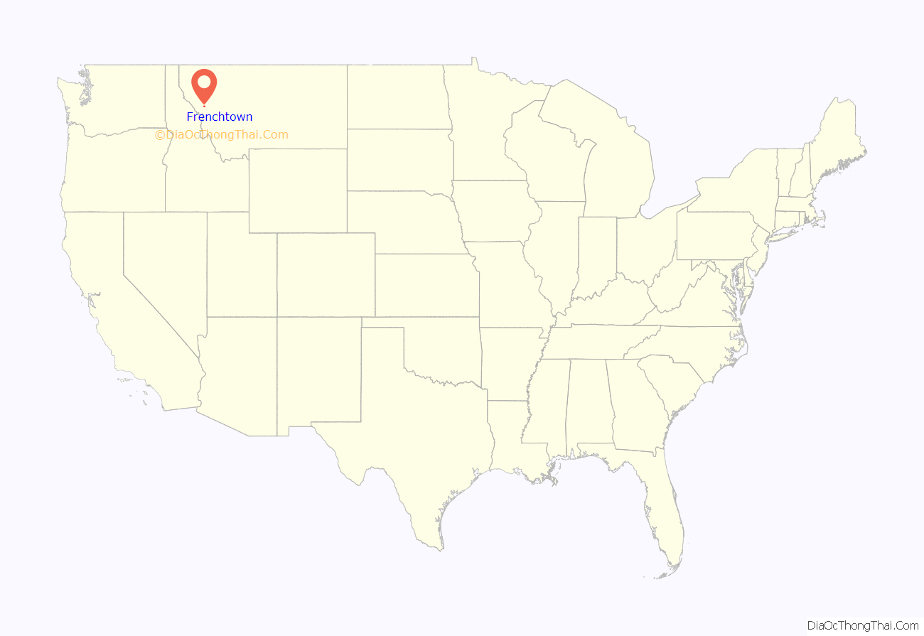
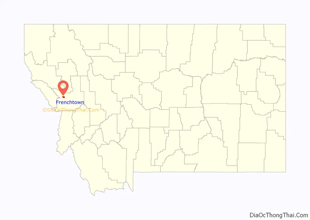
Frenchtown location map. Where is Frenchtown CDP?
History
Americans gave the location a generic name based on the ethnicity or language of the original settlers, namely French Canadians.
The settlement was cofounded around 1858 by two French Canadians moving inland with their Metis families to escape turmoil further west that followed the arrival of the American federal authorities. Jean-Baptiste Ducharme left Puget Sound during the Indian Wars (1855-1856) abandoning his land claim as his Muck Creek neighbors were arrested under martial law. Louis Brown (anglicized name) left the Colville Valley turmoil a few years later with his Pend d’Oreille wife and Metis daughters. Meanwhile the Pend d’Oreilles Kalispel had moved upriver to a new locale accompanied by Jesuit priest Father Hoecken who relocated the Saint-Ignatius mission northeast of the future Frenchtown. Louis Brown Metis daughters and grandchildren married into the wave of French Canadian settlers that swept over the valley in the course of the last four decades of the 19th century. Ducharme four Metis sons and two daughters moved North to the Flathead Indian Reservation marrying into the Pend d’Oreille tribe.
The St. Louis Catholic Church was built in 1864.
A post office called Frenchtown was first established in 1868.
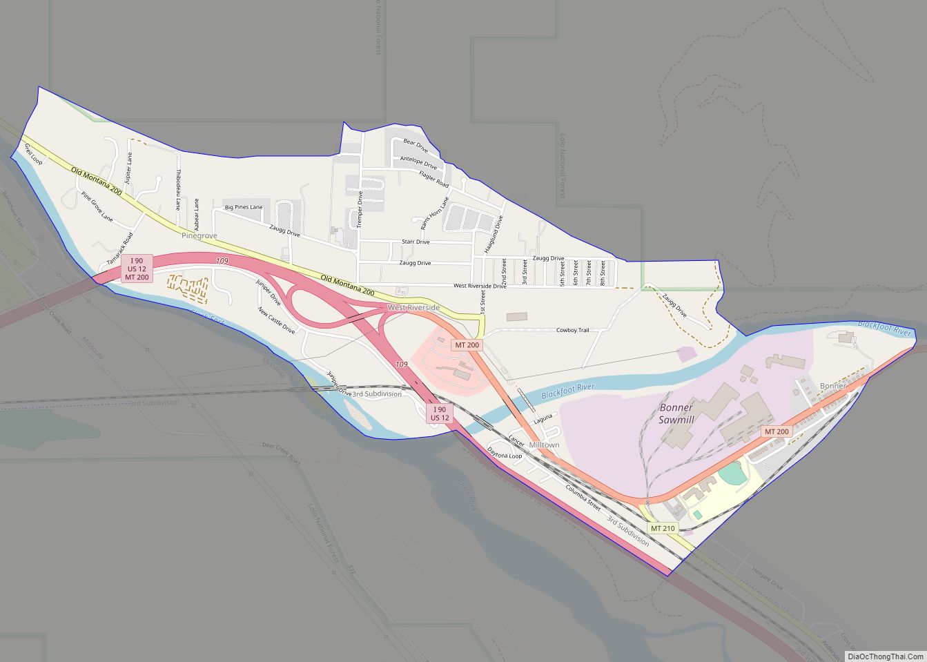
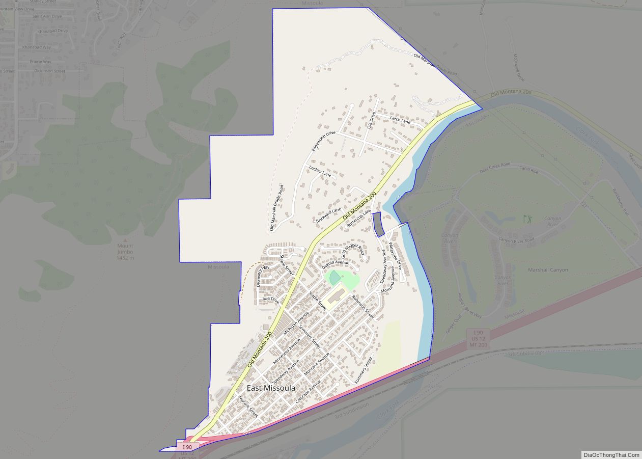
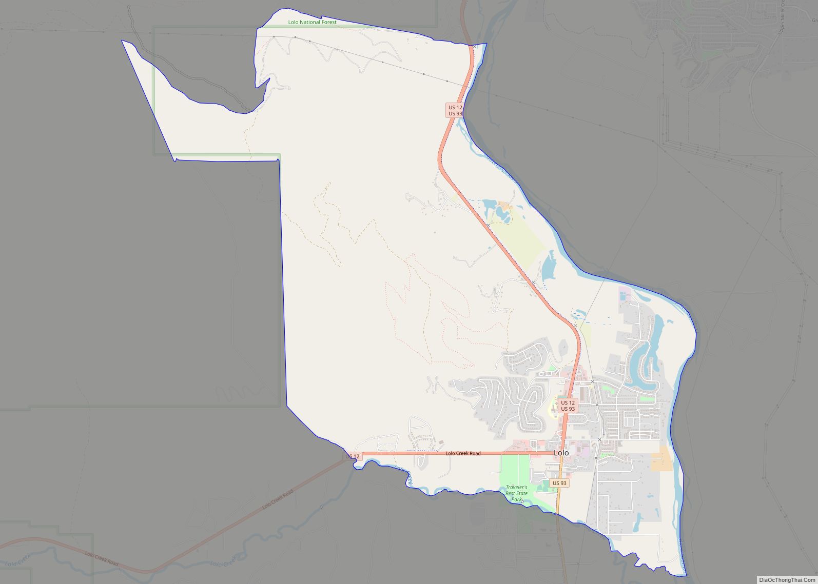
Frenchtown Road Map
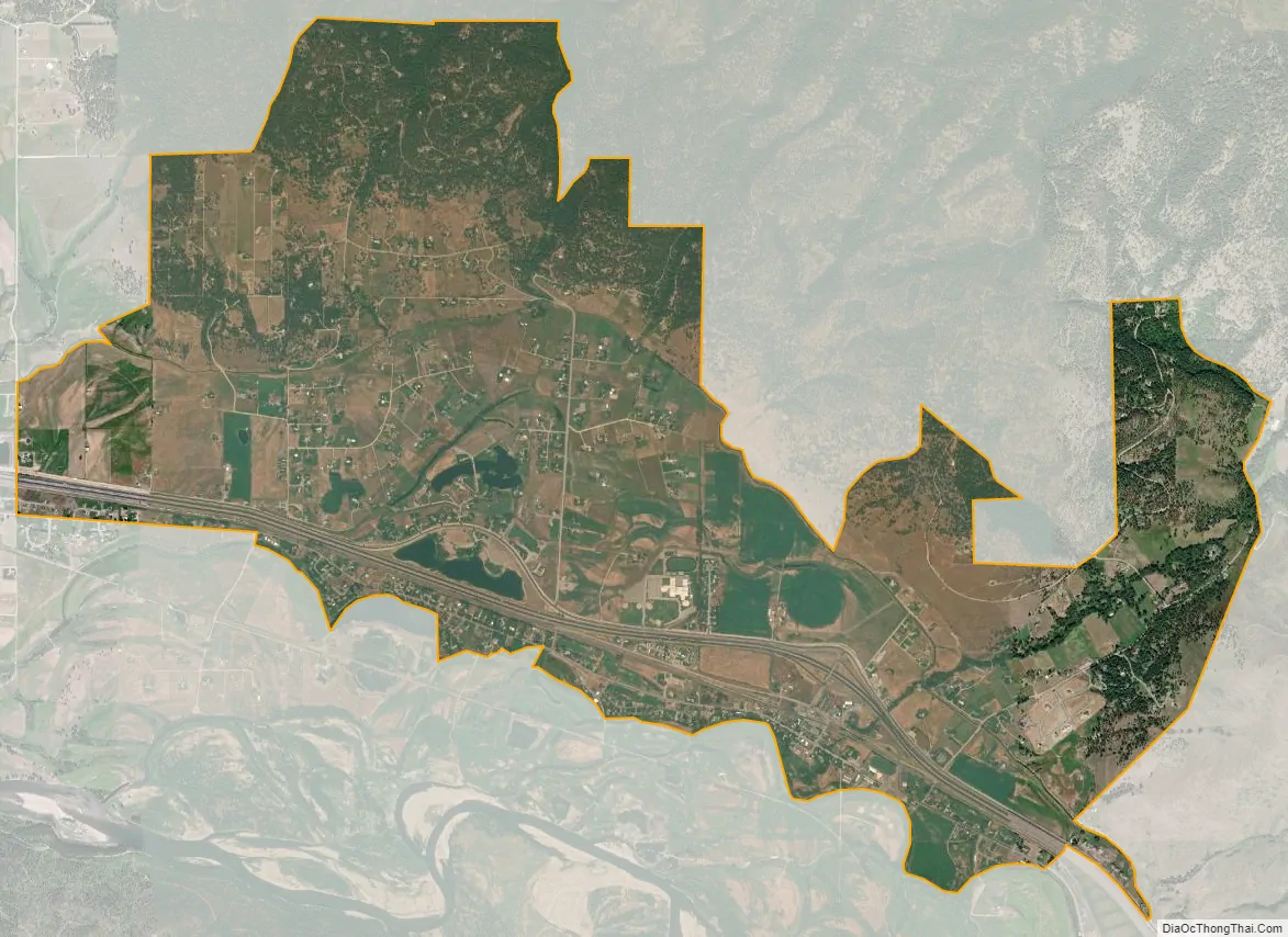
Frenchtown city Satellite Map
Geography
Frenchtown is located on the historic Mullan Road.
According to the United States Census Bureau, the CDP has a total area of 3.3 square miles (8.5 km), of which 3.2 square miles (8.3 km) is land and 0.04 square miles (0.10 km) (0.91%) is water.
See also
Map of Montana State and its subdivision:- Beaverhead
- Big Horn
- Blaine
- Broadwater
- Carbon
- Carter
- Cascade
- Chouteau
- Custer
- Daniels
- Dawson
- Deer Lodge
- Fallon
- Fergus
- Flathead
- Gallatin
- Garfield
- Glacier
- Golden Valley
- Granite
- Hill
- Jefferson
- Judith Basin
- Lake
- Lewis and Clark
- Liberty
- Lincoln
- Madison
- McCone
- Meagher
- Mineral
- Missoula
- Musselshell
- Park
- Petroleum
- Phillips
- Pondera
- Powder River
- Powell
- Prairie
- Ravalli
- Richland
- Roosevelt
- Rosebud
- Sanders
- Sheridan
- Silver Bow
- Stillwater
- Sweet Grass
- Teton
- Toole
- Treasure
- Valley
- Wheatland
- Wibaux
- Yellowstone
- Alabama
- Alaska
- Arizona
- Arkansas
- California
- Colorado
- Connecticut
- Delaware
- District of Columbia
- Florida
- Georgia
- Hawaii
- Idaho
- Illinois
- Indiana
- Iowa
- Kansas
- Kentucky
- Louisiana
- Maine
- Maryland
- Massachusetts
- Michigan
- Minnesota
- Mississippi
- Missouri
- Montana
- Nebraska
- Nevada
- New Hampshire
- New Jersey
- New Mexico
- New York
- North Carolina
- North Dakota
- Ohio
- Oklahoma
- Oregon
- Pennsylvania
- Rhode Island
- South Carolina
- South Dakota
- Tennessee
- Texas
- Utah
- Vermont
- Virginia
- Washington
- West Virginia
- Wisconsin
- Wyoming