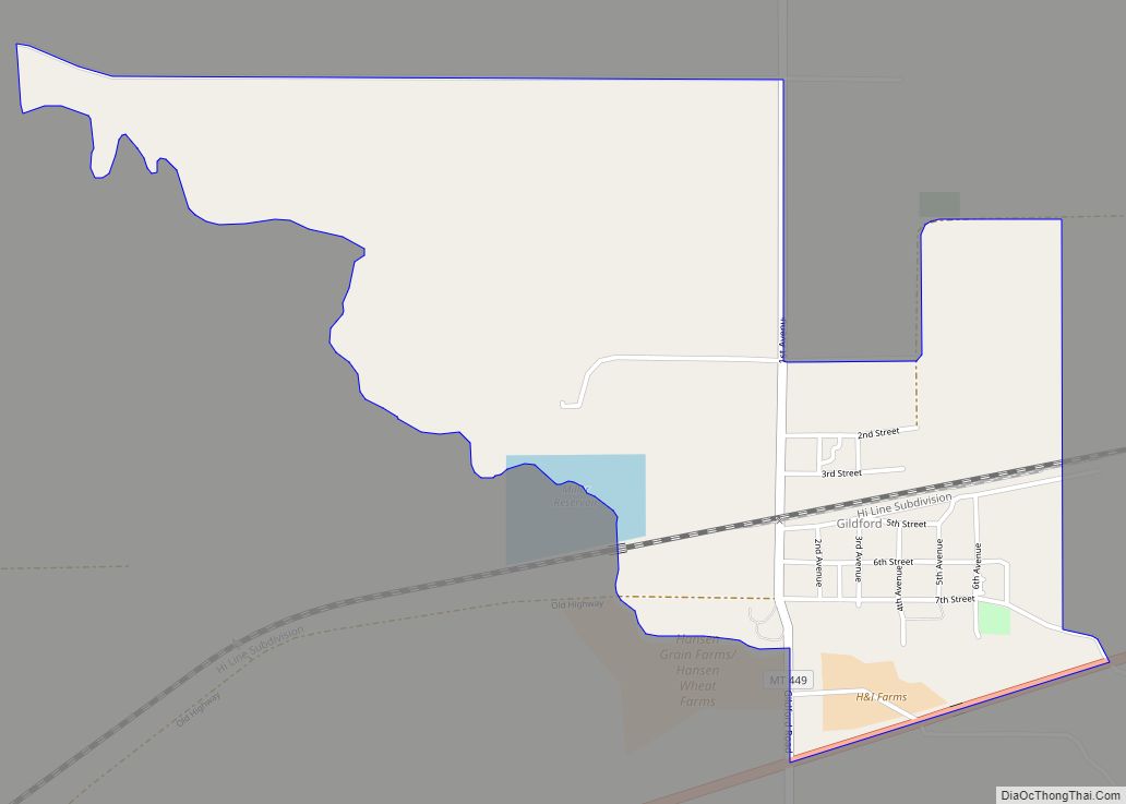
Gildford is an unincorporated community and census-designated place (CDP) in Hill County, Montana, United States. The population was 179 at the 2010 census.
The town was named for Guildford, England. A flour mill, which milled Golden Grain Flour, operated from 1915 to 1951.
| Name: | Gildford CDP |
|---|---|
| LSAD Code: | 57 |
| LSAD Description: | CDP (suffix) |
| State: | Montana |
| County: | Hill County |
| Elevation: | 2,831 ft (863 m) |
| Total Area: | 1.14 sq mi (2.94 km²) |
| Land Area: | 1.14 sq mi (2.94 km²) |
| Water Area: | 0.00 sq mi (0.00 km²) |
| Total Population: | 141 |
| Population Density: | 124.12/sq mi (47.93/km²) |
| ZIP code: | 59525 |
| Area code: | 406 |
| FIPS code: | 3030700 |
| GNISfeature ID: | 0771771 |
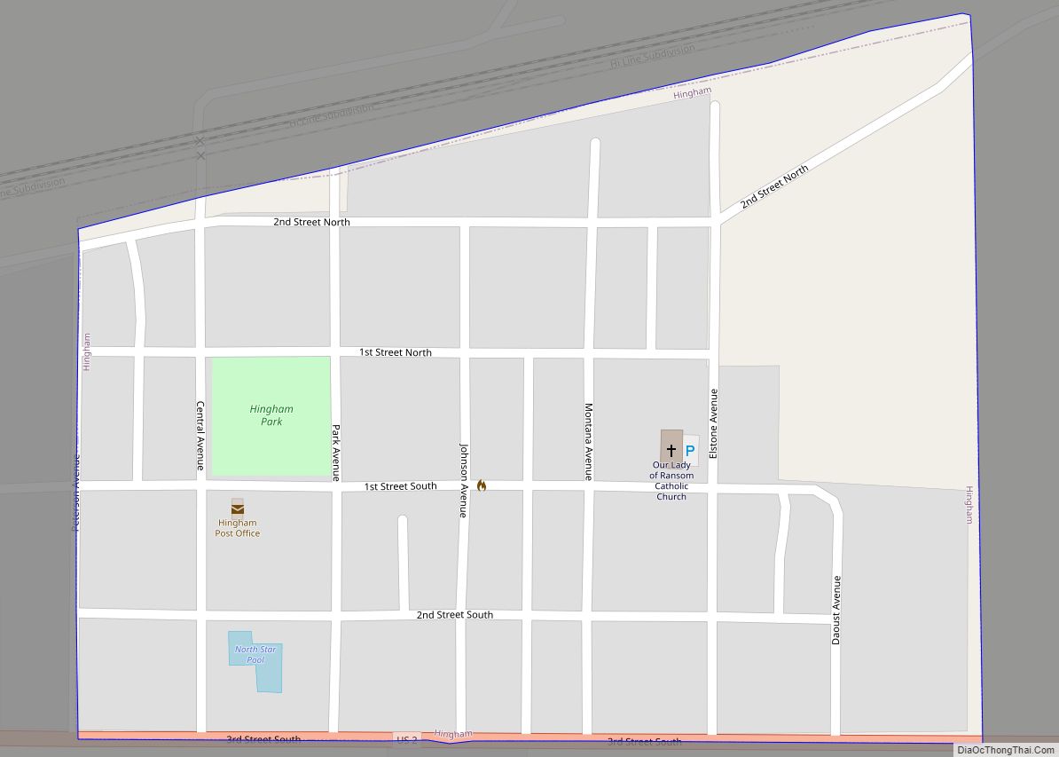
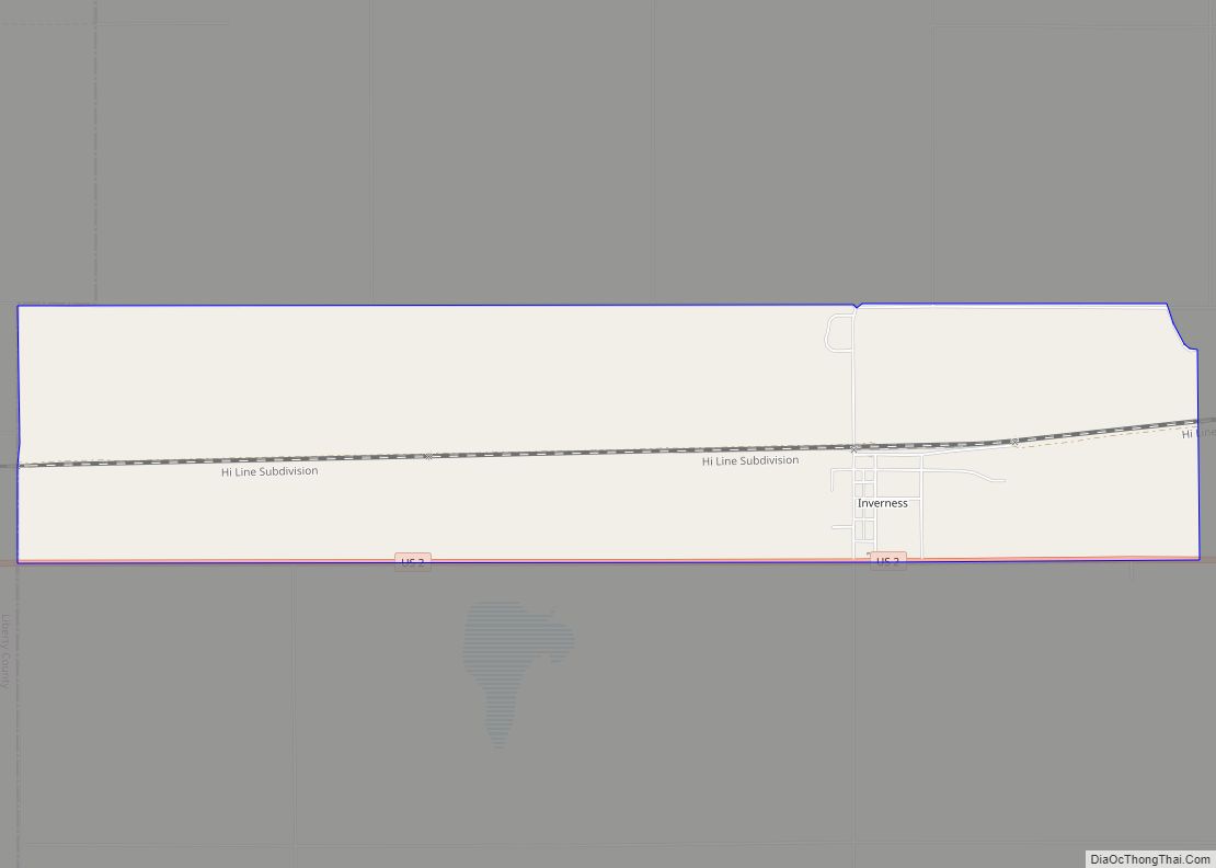
Online Interactive Map
Click on ![]() to view map in "full screen" mode.
to view map in "full screen" mode.
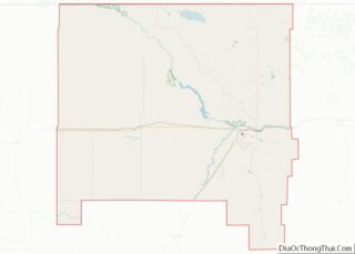
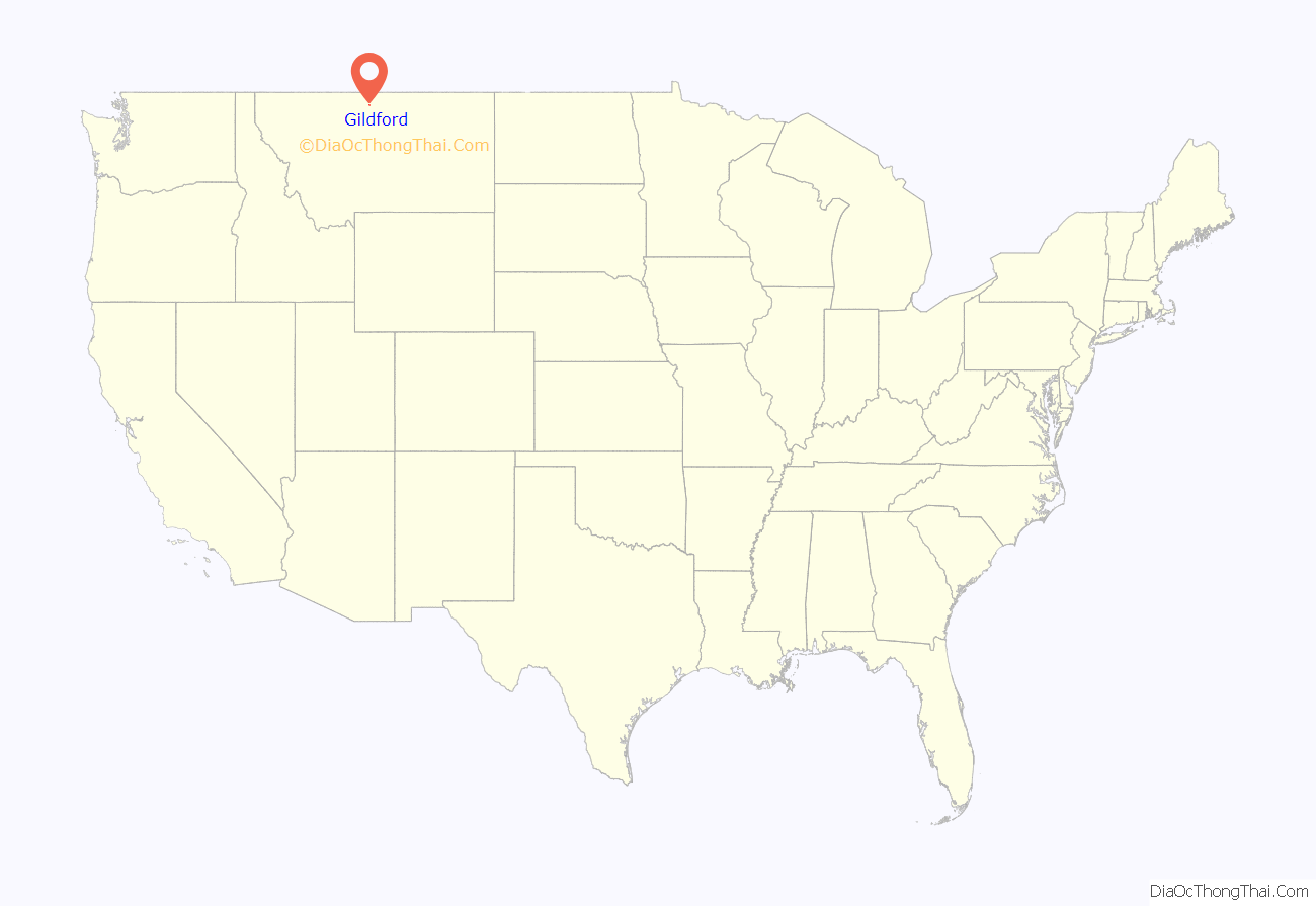
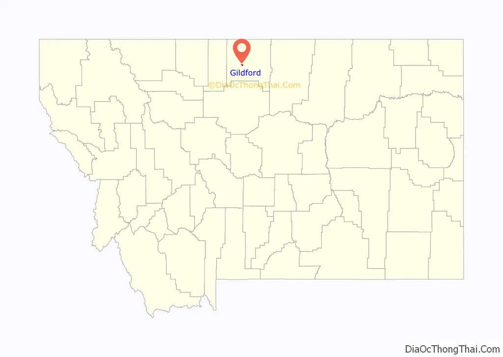
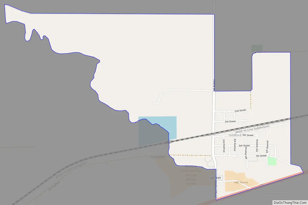
Gildford location map. Where is Gildford CDP?
Gildford Road Map
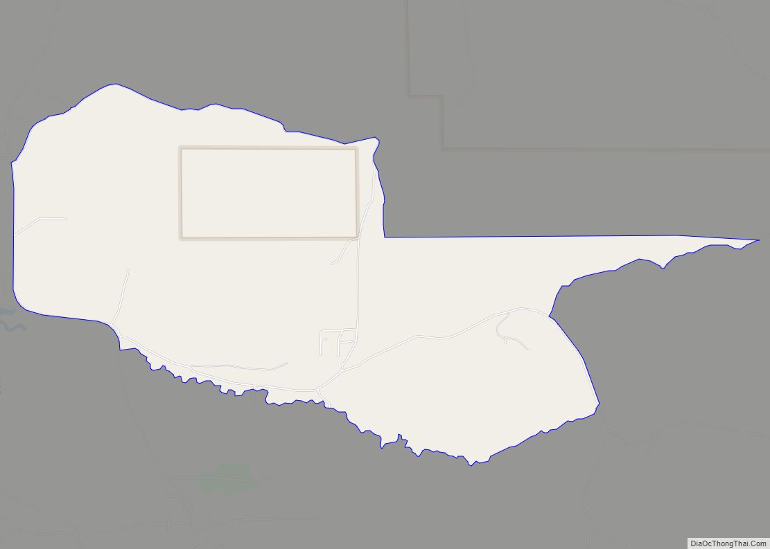
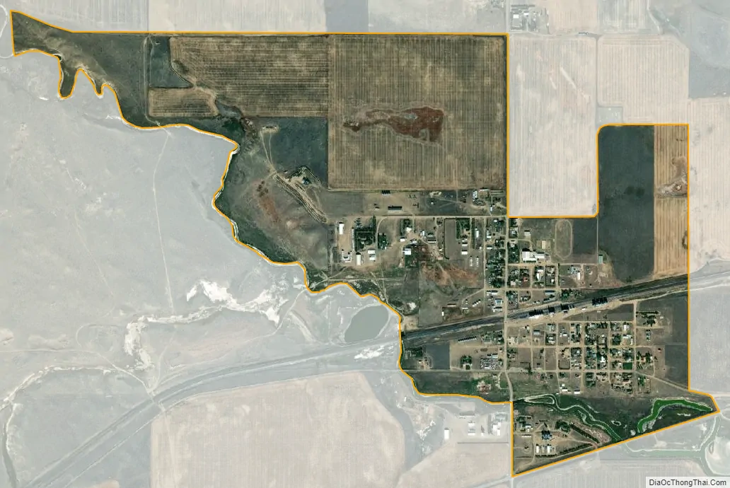
Gildford city Satellite Map
Geography
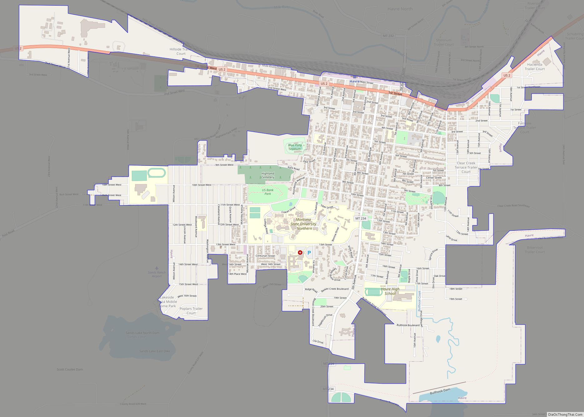
Gildford is located in west-central Hill County at 48°34′11″N 110°17′50″W / 48.56972°N 110.29722°W / 48.56972; -110.29722 (48.569785, -110.297115). U.S. Route 2 passes along the southern edge of the community, leading east 29 miles (47 km) to Havre, the county seat, and west 74 miles (119 km) to Shelby.
According to the United States Census Bureau, the CDP has a total area of 5.0 square miles (13 km), all land.
See also
Map of Montana State and its subdivision:- Beaverhead
- Big Horn
- Blaine
- Broadwater
- Carbon
- Carter
- Cascade
- Chouteau
- Custer
- Daniels
- Dawson
- Deer Lodge
- Fallon
- Fergus
- Flathead
- Gallatin
- Garfield
- Glacier
- Golden Valley
- Granite
- Hill
- Jefferson
- Judith Basin
- Lake
- Lewis and Clark
- Liberty
- Lincoln
- Madison
- McCone
- Meagher
- Mineral
- Missoula
- Musselshell
- Park
- Petroleum
- Phillips
- Pondera
- Powder River
- Powell
- Prairie
- Ravalli
- Richland
- Roosevelt
- Rosebud
- Sanders
- Sheridan
- Silver Bow
- Stillwater
- Sweet Grass
- Teton
- Toole
- Treasure
- Valley
- Wheatland
- Wibaux
- Yellowstone
- Alabama
- Alaska
- Arizona
- Arkansas
- California
- Colorado
- Connecticut
- Delaware
- District of Columbia
- Florida
- Georgia
- Hawaii
- Idaho
- Illinois
- Indiana
- Iowa
- Kansas
- Kentucky
- Louisiana
- Maine
- Maryland
- Massachusetts
- Michigan
- Minnesota
- Mississippi
- Missouri
- Montana
- Nebraska
- Nevada
- New Hampshire
- New Jersey
- New Mexico
- New York
- North Carolina
- North Dakota
- Ohio
- Oklahoma
- Oregon
- Pennsylvania
- Rhode Island
- South Carolina
- South Dakota
- Tennessee
- Texas
- Utah
- Vermont
- Virginia
- Washington
- West Virginia
- Wisconsin
- Wyoming