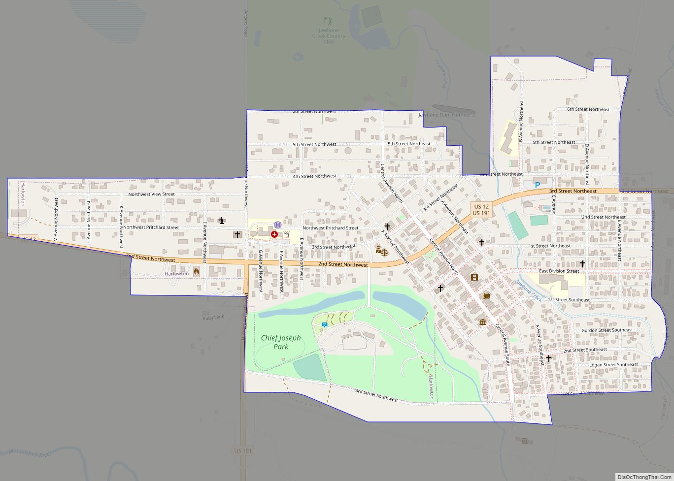
Harlowton is a city in and the county seat of Wheatland County, Montana, United States. The population was 955 at the 2020 census.
| Name: | Harlowton city |
|---|---|
| LSAD Code: | 25 |
| LSAD Description: | city (suffix) |
| State: | Montana |
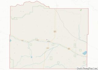
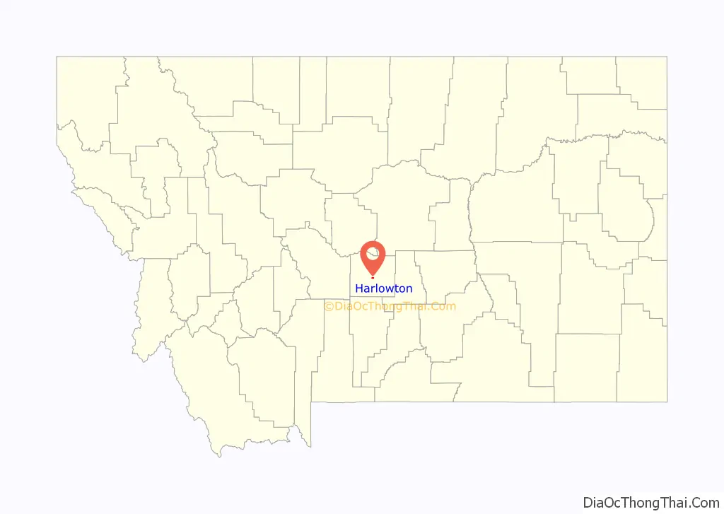
| County: | Wheatland County |
| Elevation: | 4,196 ft (1,279 m) |
| Total Area: | 0.63 sq mi (1.62 km²) |
| Land Area: | 0.63 sq mi (1.62 km²) |
| Water Area: | 0.00 sq mi (0.00 km²) |
| Total Population: | 955 |
| Population Density: | 1,525.56/sq mi (589.30/km²) |
| ZIP code: | 59036 |
| Area code: | 406 |
| FIPS code: | 3034450 |
| GNISfeature ID: | 0772154 |
| Website: | harlowtonchamber.com |
Online Interactive Map
Click on ![]() to view map in "full screen" mode.
to view map in "full screen" mode.
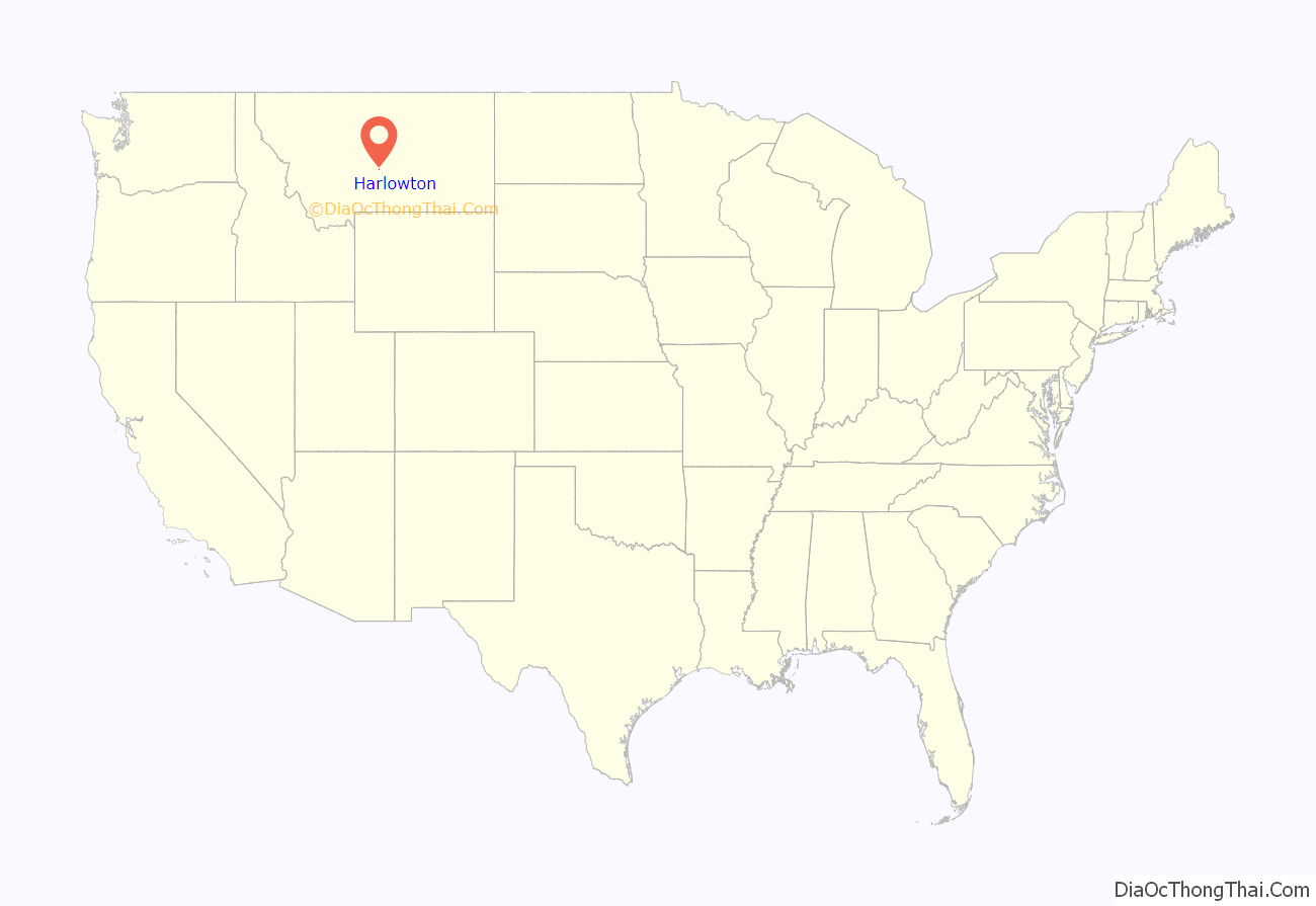
Harlowton location map. Where is Harlowton city?
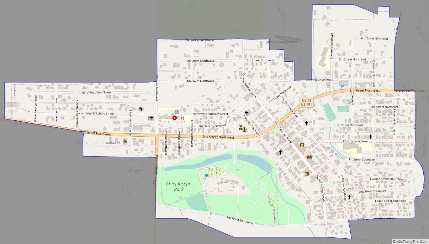
Harlowton Road Map
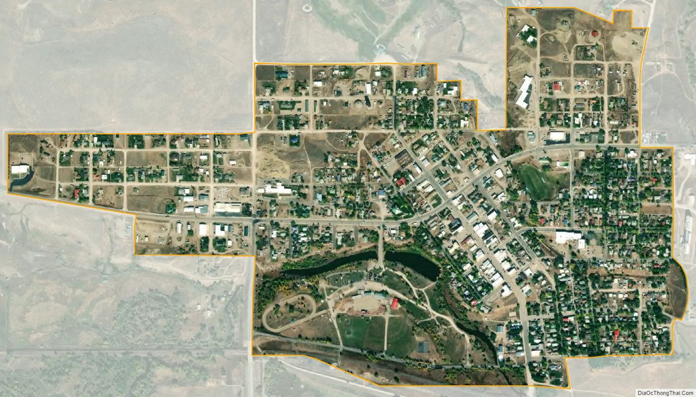
Harlowton city Satellite Map
Geography
Harlowton is located at 46°26′11″N 109°50′1″W / 46.43639°N 109.83361°W / 46.43639; -109.83361 (46.436455, -109.833553).
The town is located on the slopes of the Crazy Mountains. Other surrounding mountain ranges include the Big Snowy Mountains, Little Belt Mountains, Bull Mountains, and the Castle Mountains.
According to the United States Census Bureau, the city has a total area of 0.58 square miles (1.50 km), all land.
According to the Köppen Climate Classification system, Harlowton has a cold semi-arid climate, abbreviated “BSk” on climate maps.
See also
Map of Montana State and its subdivision:- Beaverhead
- Big Horn
- Blaine
- Broadwater
- Carbon
- Carter
- Cascade
- Chouteau
- Custer
- Daniels
- Dawson
- Deer Lodge
- Fallon
- Fergus
- Flathead
- Gallatin
- Garfield
- Glacier
- Golden Valley
- Granite
- Hill
- Jefferson
- Judith Basin
- Lake
- Lewis and Clark
- Liberty
- Lincoln
- Madison
- McCone
- Meagher
- Mineral
- Missoula
- Musselshell
- Park
- Petroleum
- Phillips
- Pondera
- Powder River
- Powell
- Prairie
- Ravalli
- Richland
- Roosevelt
- Rosebud
- Sanders
- Sheridan
- Silver Bow
- Stillwater
- Sweet Grass
- Teton
- Toole
- Treasure
- Valley
- Wheatland
- Wibaux
- Yellowstone
- Alabama
- Alaska
- Arizona
- Arkansas
- California
- Colorado
- Connecticut
- Delaware
- District of Columbia
- Florida
- Georgia
- Hawaii
- Idaho
- Illinois
- Indiana
- Iowa
- Kansas
- Kentucky
- Louisiana
- Maine
- Maryland
- Massachusetts
- Michigan
- Minnesota
- Mississippi
- Missouri
- Montana
- Nebraska
- Nevada
- New Hampshire
- New Jersey
- New Mexico
- New York
- North Carolina
- North Dakota
- Ohio
- Oklahoma
- Oregon
- Pennsylvania
- Rhode Island
- South Carolina
- South Dakota
- Tennessee
- Texas
- Utah
- Vermont
- Virginia
- Washington
- West Virginia
- Wisconsin
- Wyoming