Highwood is an unincorporated community and census-designated place (CDP) in Chouteau County, Montana, United States. The population was 176 at the 2010 census.
| Name: | Highwood CDP |
|---|---|
| LSAD Code: | 57 |
| LSAD Description: | CDP (suffix) |
| State: | Montana |
| County: | Chouteau County |
| Elevation: | 3,383 ft (1,031 m) |
| Total Area: | 5.18 sq mi (13.41 km²) |
| Land Area: | 5.18 sq mi (13.41 km²) |
| Water Area: | 0.00 sq mi (0.00 km²) |
| Total Population: | 165 |
| Population Density: | 31.88/sq mi (12.31/km²) |
| ZIP code: | 59450 |
| Area code: | 406 |
| FIPS code: | 3036250 |
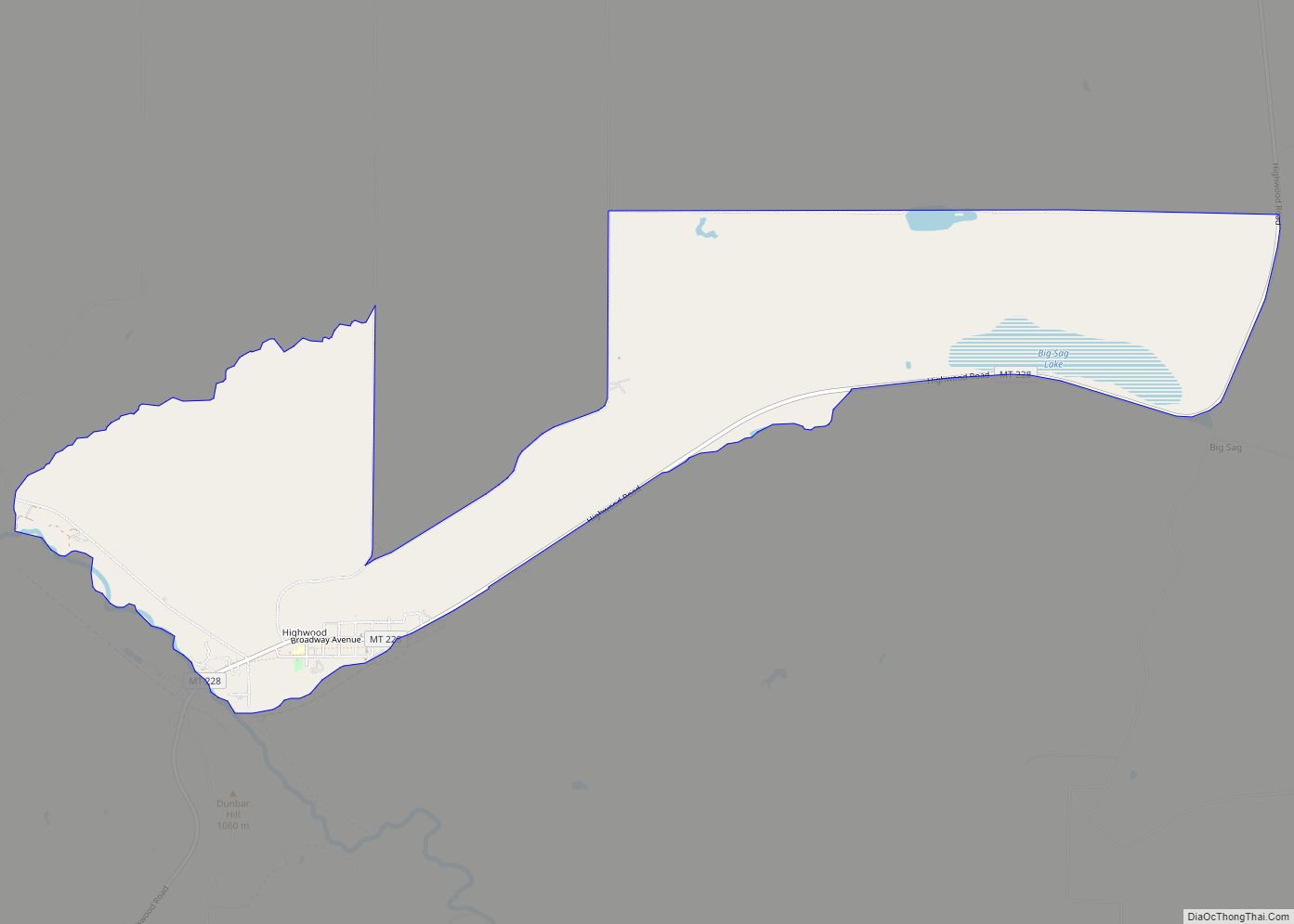
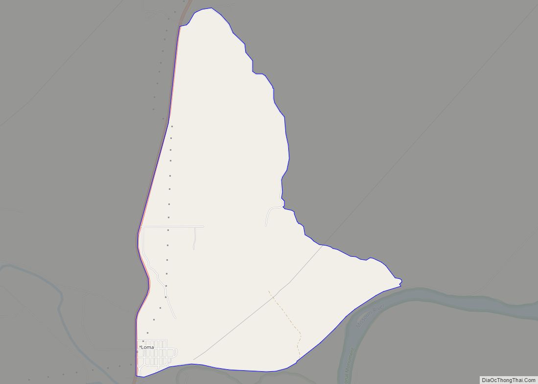
Online Interactive Map
Click on ![]() to view map in "full screen" mode.
to view map in "full screen" mode.
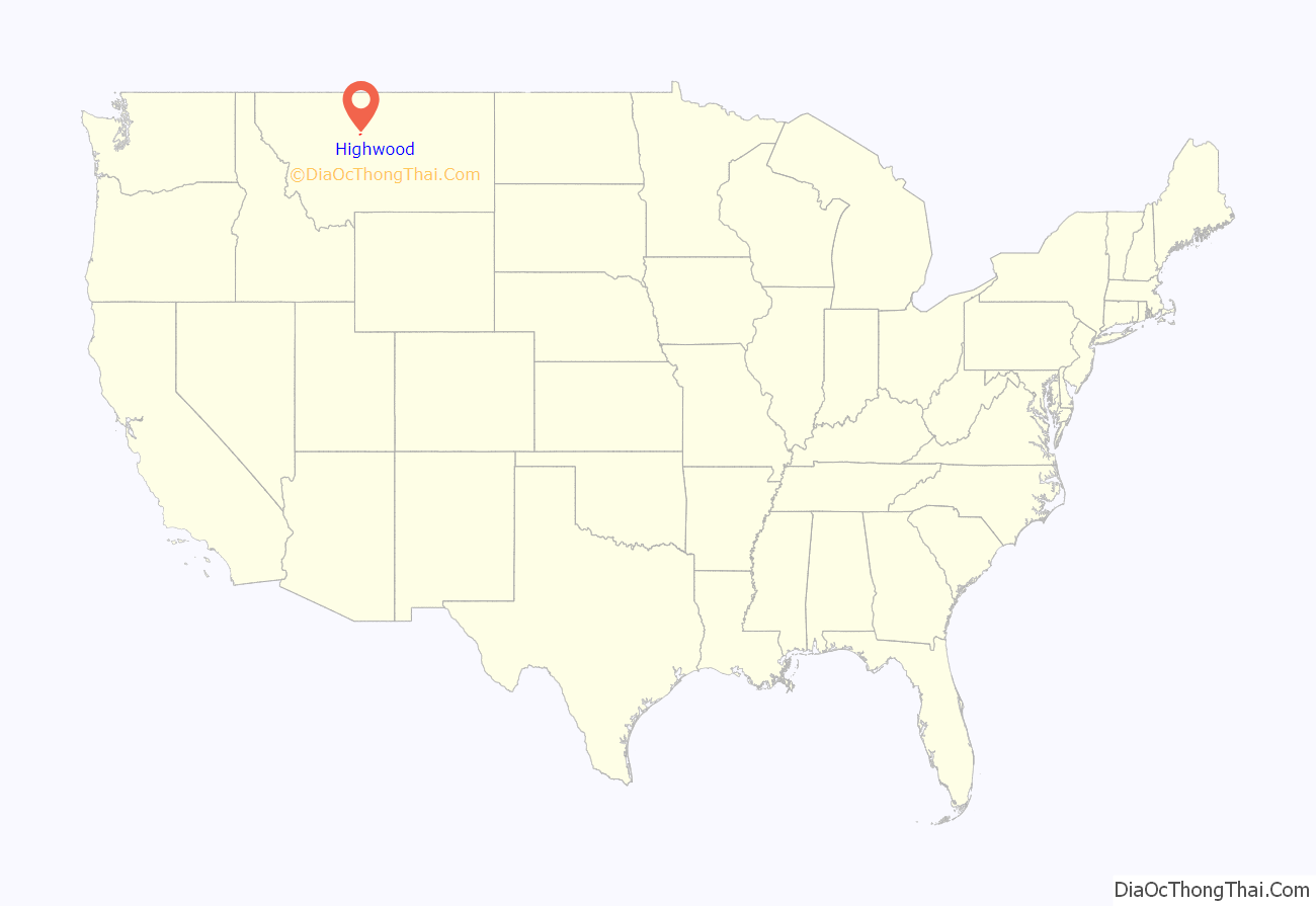
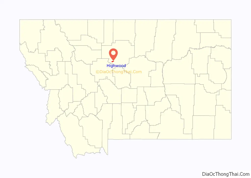
Highwood location map. Where is Highwood CDP?
History
Highwood first had a post office in 1881, which closed and reopened a few times until 1886, since which it has remained open continuously. The community took its name from nearby Highwood Creek.
The valley was popularized in the 1962 movie Shoot Out at Big Sag, starring Walter Brennan.
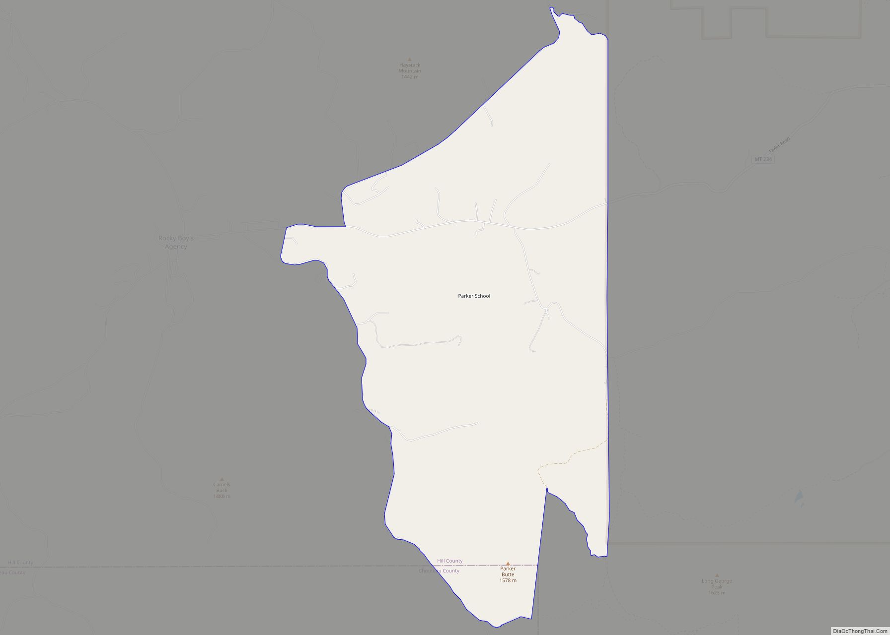
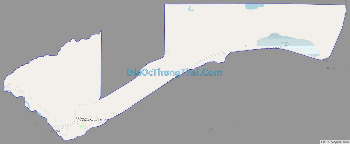
Highwood Road Map
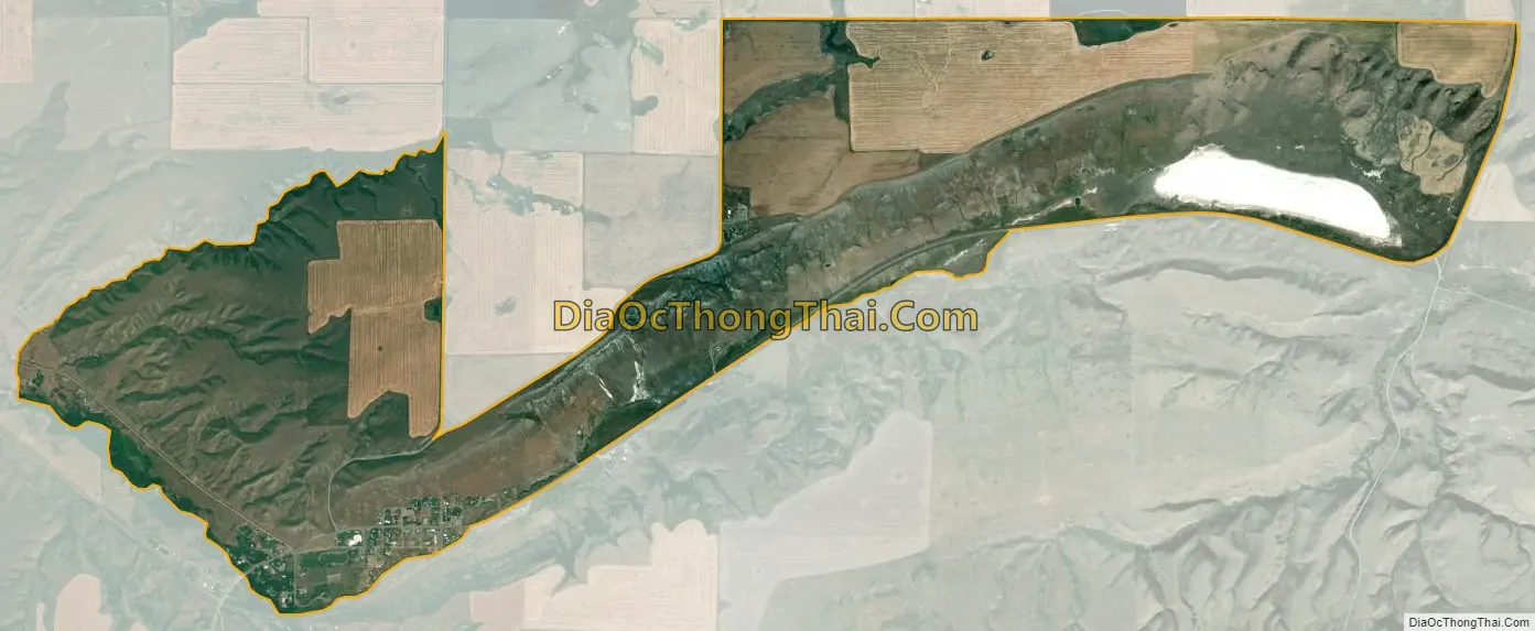
Highwood city Satellite Map
Geography
Highwood is located in southwestern Chouteau County. It is in the valley of the northwest flowing Highwood Creek, a tributary of the Missouri River, and Big Sag Creek. It is 29 miles (47 km) east of Great Falls and just northwest of the Highwood Mountains.
According to the United States Census Bureau, the CDP has a total area of 4.5 square miles (11.6 km), all land.
See also
Map of Montana State and its subdivision:- Beaverhead
- Big Horn
- Blaine
- Broadwater
- Carbon
- Carter
- Cascade
- Chouteau
- Custer
- Daniels
- Dawson
- Deer Lodge
- Fallon
- Fergus
- Flathead
- Gallatin
- Garfield
- Glacier
- Golden Valley
- Granite
- Hill
- Jefferson
- Judith Basin
- Lake
- Lewis and Clark
- Liberty
- Lincoln
- Madison
- McCone
- Meagher
- Mineral
- Missoula
- Musselshell
- Park
- Petroleum
- Phillips
- Pondera
- Powder River
- Powell
- Prairie
- Ravalli
- Richland
- Roosevelt
- Rosebud
- Sanders
- Sheridan
- Silver Bow
- Stillwater
- Sweet Grass
- Teton
- Toole
- Treasure
- Valley
- Wheatland
- Wibaux
- Yellowstone
- Alabama
- Alaska
- Arizona
- Arkansas
- California
- Colorado
- Connecticut
- Delaware
- District of Columbia
- Florida
- Georgia
- Hawaii
- Idaho
- Illinois
- Indiana
- Iowa
- Kansas
- Kentucky
- Louisiana
- Maine
- Maryland
- Massachusetts
- Michigan
- Minnesota
- Mississippi
- Missouri
- Montana
- Nebraska
- Nevada
- New Hampshire
- New Jersey
- New Mexico
- New York
- North Carolina
- North Dakota
- Ohio
- Oklahoma
- Oregon
- Pennsylvania
- Rhode Island
- South Carolina
- South Dakota
- Tennessee
- Texas
- Utah
- Vermont
- Virginia
- Washington
- West Virginia
- Wisconsin
- Wyoming