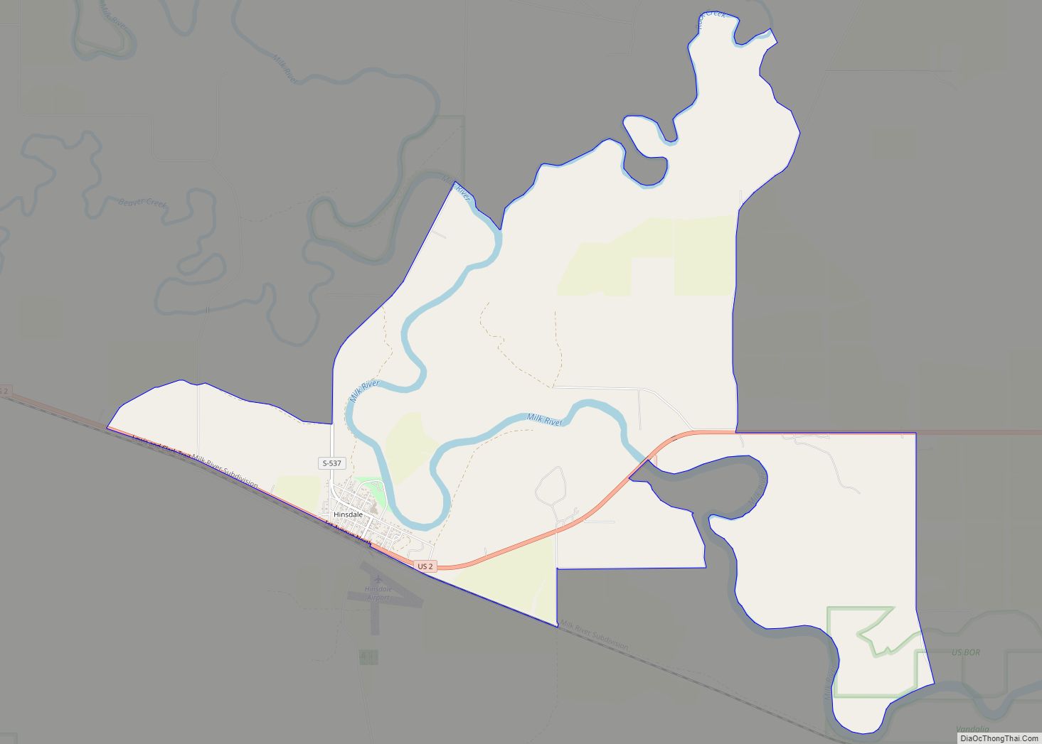
Hinsdale is an unincorporated community and census-designated place in Valley County, Montana, United States. The town’s population was 217 and the community’s population as a whole was 583 as of the 2010 census. The community is located on the Milk River and U.S. Route 2, with Montana Highway 537 headed north out of town and South Bench Road crossing the railroad tracks and running south of town. Hinsdale has a post office with ZIP code 59241.
| Name: | Hinsdale CDP |
|---|---|
| LSAD Code: | 57 |
| LSAD Description: | CDP (suffix) |
| State: | Montana |
| County: | Valley County |
| Elevation: | 2,169 ft (661 m) |
| Total Area: | 6.66 sq mi (17.25 km²) |
| Land Area: | 6.46 sq mi (16.75 km²) |
| Water Area: | 0.20 sq mi (0.50 km²) |
| Total Population: | 193 |
| Population Density: | 29.85/sq mi (11.53/km²) |
| ZIP code: | 59241 |
| Area code: | 406 |
| FIPS code: | 3036475 |
| GNISfeature ID: | 772431 |
Online Interactive Map
Click on ![]() to view map in "full screen" mode.
to view map in "full screen" mode.
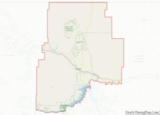
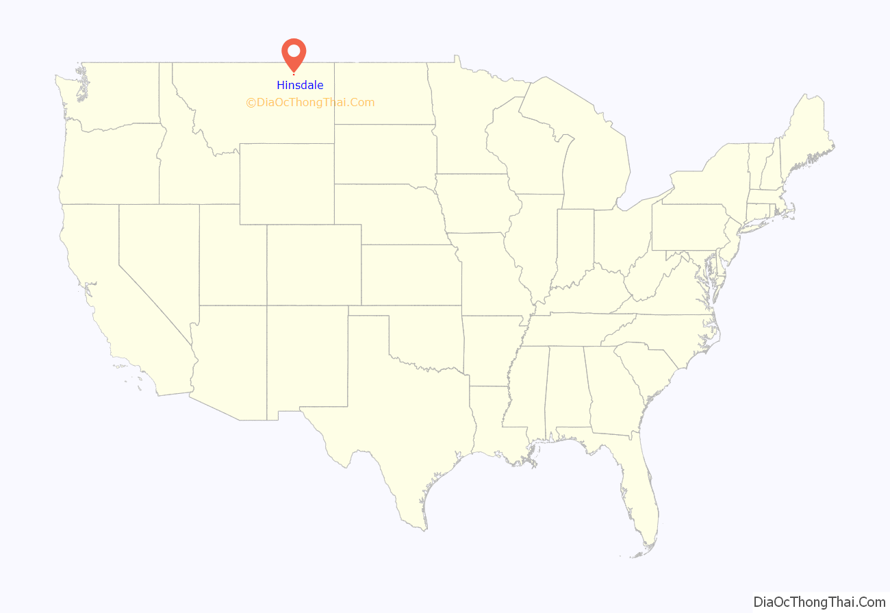
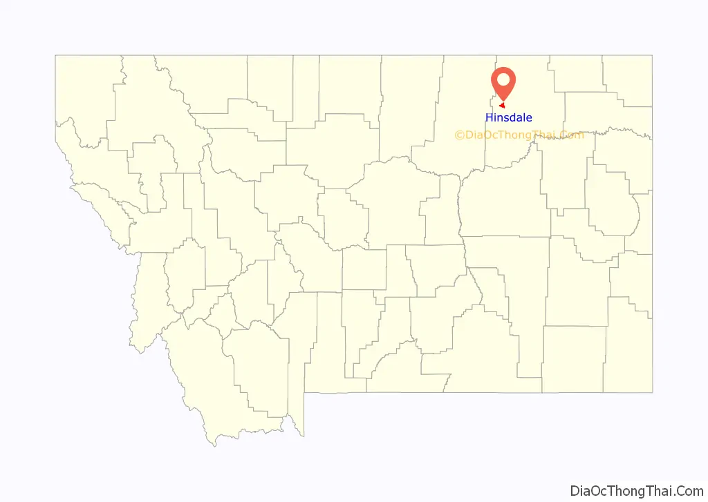
Hinsdale location map. Where is Hinsdale CDP?
History
Native American tribes lived in the local area for thousands of years before European colonization. This colonization brought horses which greatly improved life on the prairie. The steady eastward march of settlers pushed new tribes into the area.
1800s
The Corps of Discovery reached the head of the Milk River in May 1805. There, the river received its name, for “the water of this river possesses a peculiar whiteness, being about the colour of a cup of tea with the admixture of a tablespoonfull of milk.”
After the Corps of Discovery, the next major event in the area was the arrival of Texas cattle coming to fatten up on the local grass after their long cattle drives. The cattle drives lasted from 1866 until the late 1880s.
The area was used and claimed by various Native American Tribes. The Act of May 1, 1888 ceded a large area of land, including Hinsdale, from the tribes and opened the area up to homesteading
Hinsdale was created when the railroad came through. A post office was established in 1891. The area became populated with homesteaders seeking farm ground in the newly opened land The original site, or Old Hinsdale, was located roughly one and a half miles east of the present town site. The old site was once owned by Bob Walsh, aka “Six-shooter Bob.” The present town site was originally owned by William Woolridge, who was the depot agent in 1897.
The first schoolhouse in the community was built by James Deegan and Los Blackmon near the old Deegan ranch. The first schoolhouse in new Hinsdale, a log building, was located on the current school grounds.
1900s
Hinsdale has had two newspapers in the past. The Montana Homestead ran from 1904-1912 The better known Hinsdale Tribune ran from 1912-1971. The Hinsdale Tribune merged with The Saco Independent to form the Independent Tribune for a few years in the 1970s. While the rest of the country was booming in the roaring twenties, Montana was in a drought. Montana was the only state in the union to have a decrease in population during that time. Though far removed from the center of the Dust Bowl, Hinsdale did see a few dust storms during the Great Depression. Times were tough and most of the settlers who toughed it out and stayed lived mostly by subsistence farming. The 1980s was a tough time in agriculture across the country. The community of Hinsdale suffered greatly as the period saw one of the worst droughts in the areas history.
2000s
The second decade of the 21st century has seen unusual and record breaking weather for Hinsdale. During the winter of 2010–2011, more than 105 inches (2,700 mm) fell in neighboring Glasgow, Montana. This led to severe flooding in the spring due to runoff. A second flood period occurred later in the spring as the soil was saturated and all of the water once again rushed into the streams and the Milk River. The summer of 2014 was unusually wet. After several weeks of small, scattered rainstorms, a larger system rolled through in late August. The storm dropped several inches of rain as it made its way across Montana. Hinsdale received seven inches rain over a three-day period. This induced the third hundred‑year‑flood that Hinsdale had experienced in three years.
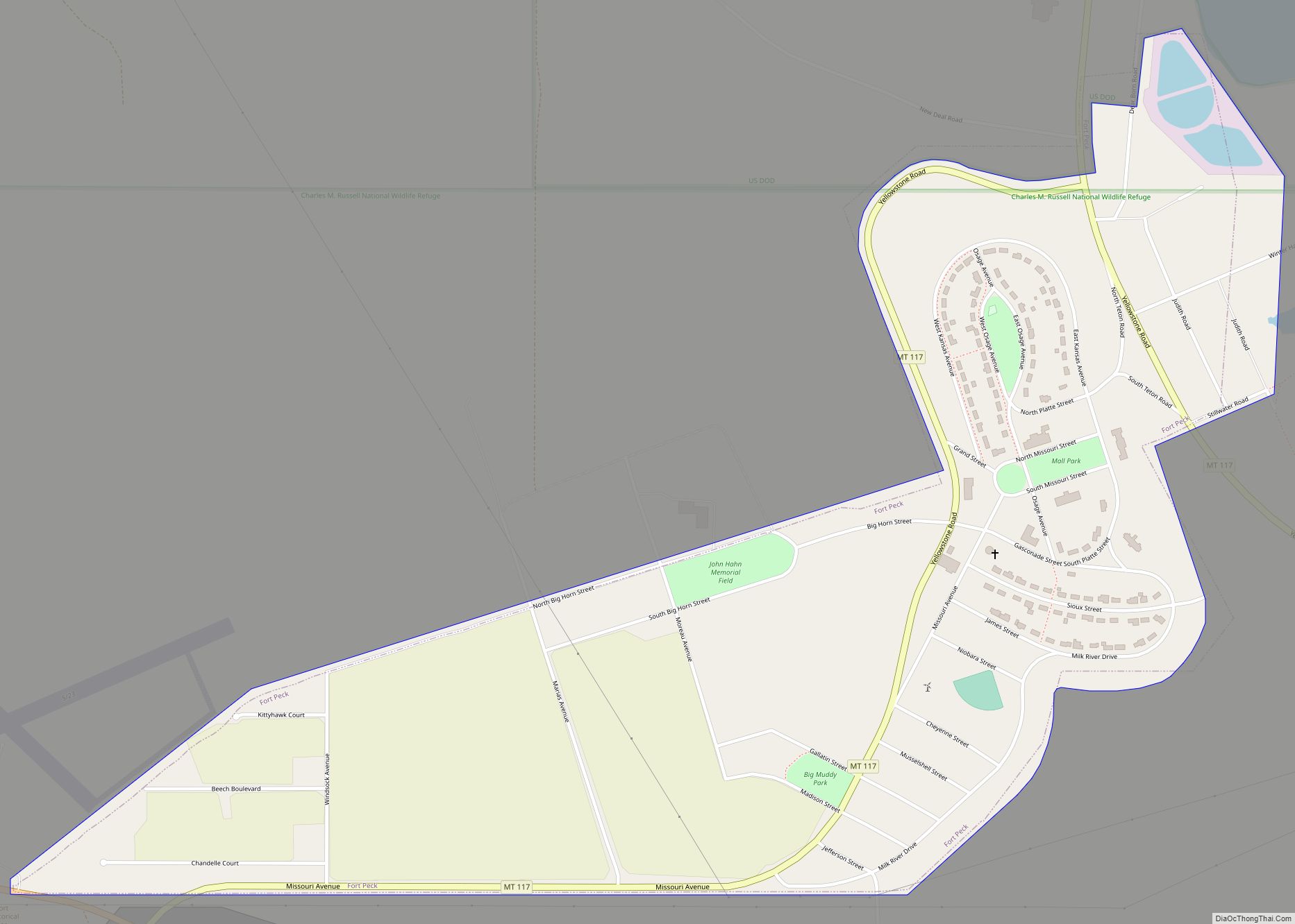
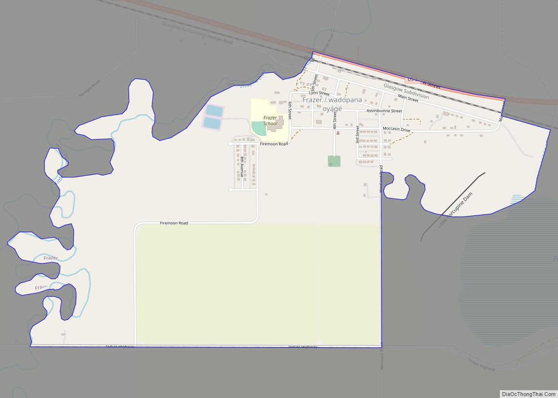
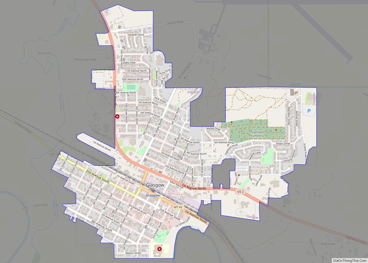
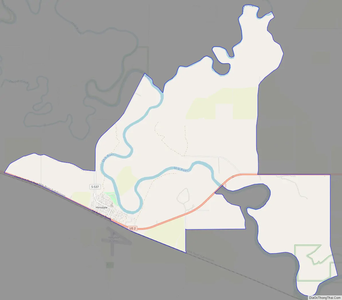
Hinsdale Road Map
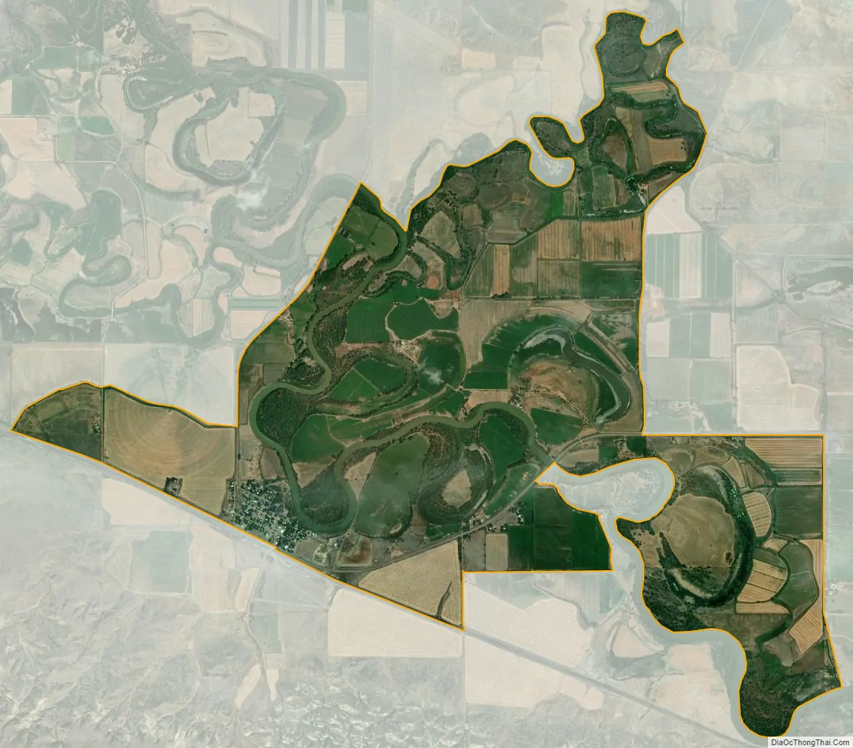
Hinsdale city Satellite Map
Geography
Hinsdale is located at 48°24′17″N 107°05′13″W / 48.404783°N 107.086867°W / 48.404783; -107.086867 (48.404783, -107.086867). The town is located on the Milk River just above the flood plain. A cut bank separates the town from the county park on the river’s edge. U.S. Highway 2 runs east and west on the south side of town, with the railroad tracks running parallel south of the highway. Just south of town is the south bench, with marks the edge of the terrace than makes up the majority of south Valley County. The terrace is a raised area that was not cut down as far by erosion compared to the Milk River Valley. Numerous soil horizons, including multiple layers of sandstone, are visible in the bench.
Hinsdale was once on the edge of the inland sea of North America. As the Rocky Mountains began to rise, they were eroded and sediment filled in the sea. as the Rocky Mountain Front continued to gain elevation and increase the slope of the land, water began to erode away the sediment that had been deposited. At this point, the Missouri River flowed north past Big Sandy, entered what is now the Milk River Valley, and flowed along its course past Hinsdale. Around what is now Poplar, the Missouri turned north and eventually flowed into the Hudson Bay.
During the last series of ice ages, the flow of the Missouri was diverted to its current riverbed. The Milk River now flows through part of the Missouri’s ancient riverbed. The continental glaciers also deposited large amounts of rocks and sediment on the landscape.
According to the U.S. Census Bureau, the CDP has an area of 6.664 square miles (17.26 km), of which 6.469 square miles (16.75 km) is land and 0.195 square miles (0.51 km) is water.
Climate
According to the Köppen Climate Classification system, Hinsdale has a semi-arid climate, abbreviated “BSk” on climate maps.
See also
Map of Montana State and its subdivision:- Beaverhead
- Big Horn
- Blaine
- Broadwater
- Carbon
- Carter
- Cascade
- Chouteau
- Custer
- Daniels
- Dawson
- Deer Lodge
- Fallon
- Fergus
- Flathead
- Gallatin
- Garfield
- Glacier
- Golden Valley
- Granite
- Hill
- Jefferson
- Judith Basin
- Lake
- Lewis and Clark
- Liberty
- Lincoln
- Madison
- McCone
- Meagher
- Mineral
- Missoula
- Musselshell
- Park
- Petroleum
- Phillips
- Pondera
- Powder River
- Powell
- Prairie
- Ravalli
- Richland
- Roosevelt
- Rosebud
- Sanders
- Sheridan
- Silver Bow
- Stillwater
- Sweet Grass
- Teton
- Toole
- Treasure
- Valley
- Wheatland
- Wibaux
- Yellowstone
- Alabama
- Alaska
- Arizona
- Arkansas
- California
- Colorado
- Connecticut
- Delaware
- District of Columbia
- Florida
- Georgia
- Hawaii
- Idaho
- Illinois
- Indiana
- Iowa
- Kansas
- Kentucky
- Louisiana
- Maine
- Maryland
- Massachusetts
- Michigan
- Minnesota
- Mississippi
- Missouri
- Montana
- Nebraska
- Nevada
- New Hampshire
- New Jersey
- New Mexico
- New York
- North Carolina
- North Dakota
- Ohio
- Oklahoma
- Oregon
- Pennsylvania
- Rhode Island
- South Carolina
- South Dakota
- Tennessee
- Texas
- Utah
- Vermont
- Virginia
- Washington
- West Virginia
- Wisconsin
- Wyoming