Joplin is a unincorporated community and census-designated place (CDP) in Liberty County, Montana, United States. The population was 157 at the 2010 census.
| Name: | Joplin CDP |
|---|---|
| LSAD Code: | 57 |
| LSAD Description: | CDP (suffix) |
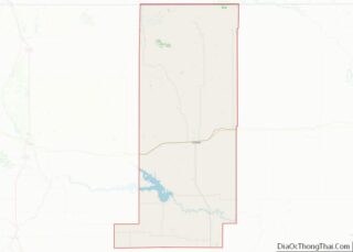
| State: | Montana |
| County: | Liberty County |
| Elevation: | 3,323 ft (1,013 m) |
| Total Area: | 1.29 sq mi (3.34 km²) |
| Land Area: | 1.26 sq mi (3.27 km²) |
| Water Area: | 0.03 sq mi (0.07 km²) |
| Total Population: | 159 |
| Population Density: | 125.89/sq mi (48.62/km²) |
| ZIP code: | 59531 |
| Area code: | 406 |
| FIPS code: | 3039775 |
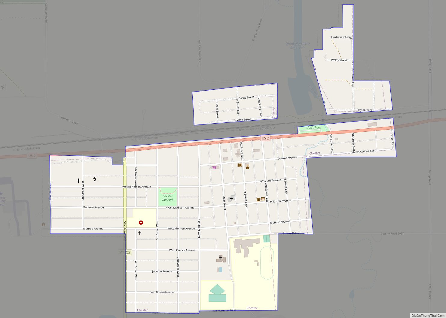
Online Interactive Map
Click on ![]() to view map in "full screen" mode.
to view map in "full screen" mode.
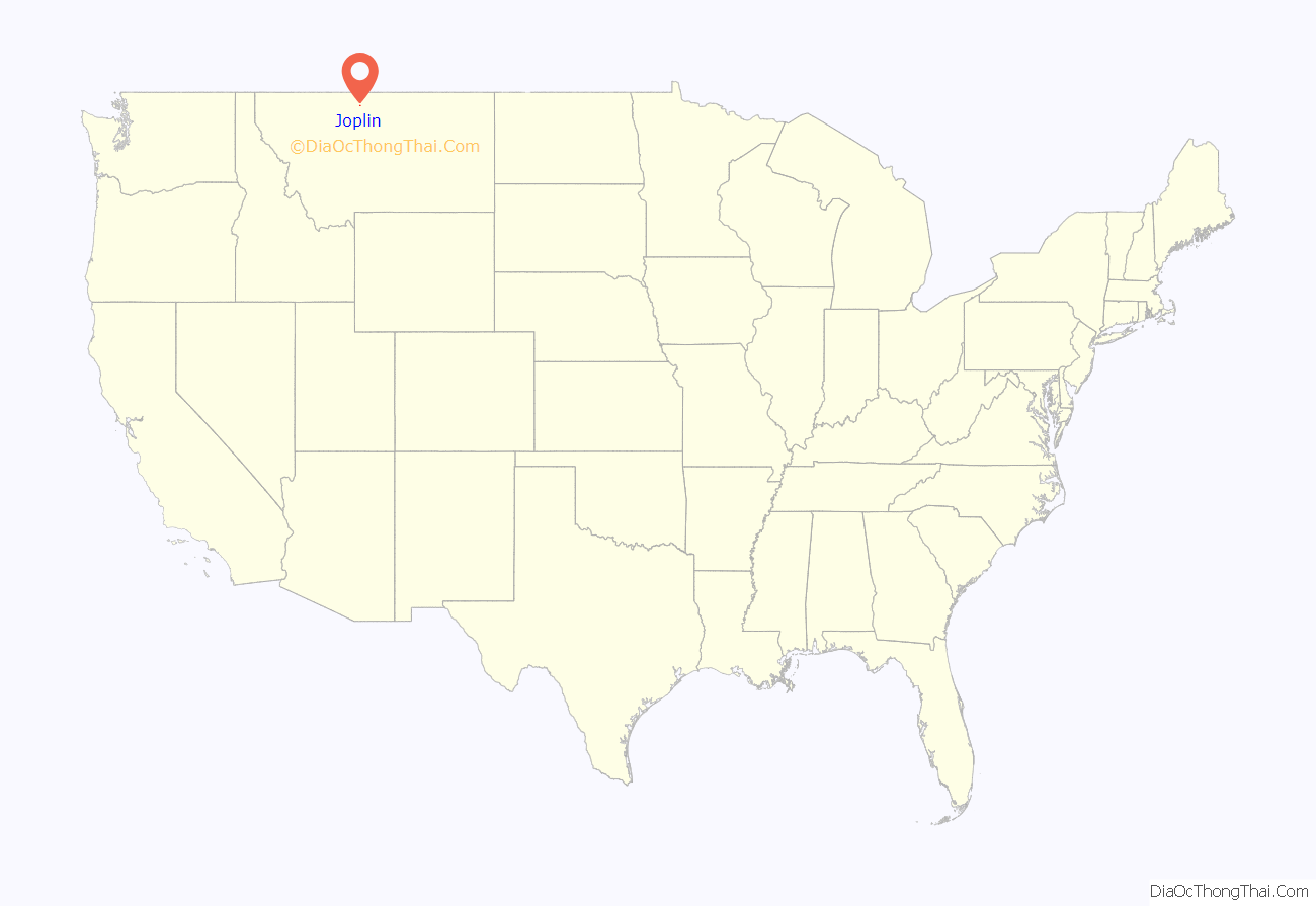
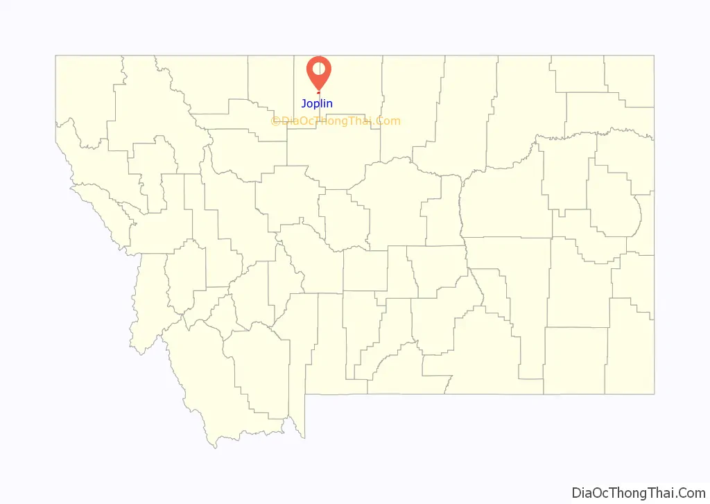
Joplin location map. Where is Joplin CDP?
History
It was founded by Joseph E. Rehal, an American businessman of Syrian descent. It was a station house on the Great Northern Railway as early as 1902.
Train derailment
On September 25, 2021, at approximately 3:55 p.m., Amtrak passenger train 7/27, also known as the westbound Empire Builder, suffered a derailment 1 mile (1.6 km) west of Joplin while en route from Chicago to Seattle. Three people were killed and 50 more were injured when the eight rear cars of the ten-car train derailed.
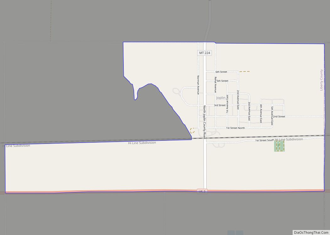
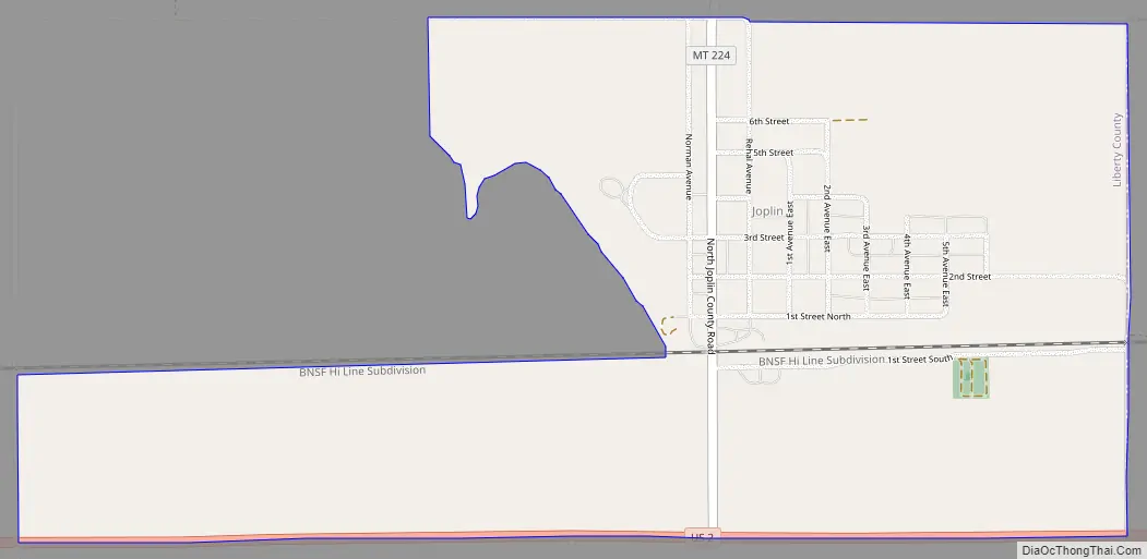
Joplin Road Map
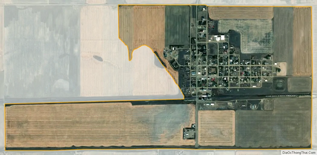
Joplin city Satellite Map
Geography
Joplin is located on the eastern edge of Liberty County at 48°33′37″N 110°46′13″W / 48.56028°N 110.77028°W / 48.56028; -110.77028 (48.560363, -110.770255). It is bordered to the east by Inverness in Hill County. U.S. Route 2 runs along the southern edge of Joplin, leading west 10 miles (16 km) to Chester, the Liberty county seat, and east 50 miles (80 km) to Havre.
According to the United States Census Bureau, the Joplin CDP has a total area of 1.3 square miles (3.3 km), of which 0.03 square miles (0.07 km), or 2.20%, are water.
See also
Map of Montana State and its subdivision:- Beaverhead
- Big Horn
- Blaine
- Broadwater
- Carbon
- Carter
- Cascade
- Chouteau
- Custer
- Daniels
- Dawson
- Deer Lodge
- Fallon
- Fergus
- Flathead
- Gallatin
- Garfield
- Glacier
- Golden Valley
- Granite
- Hill
- Jefferson
- Judith Basin
- Lake
- Lewis and Clark
- Liberty
- Lincoln
- Madison
- McCone
- Meagher
- Mineral
- Missoula
- Musselshell
- Park
- Petroleum
- Phillips
- Pondera
- Powder River
- Powell
- Prairie
- Ravalli
- Richland
- Roosevelt
- Rosebud
- Sanders
- Sheridan
- Silver Bow
- Stillwater
- Sweet Grass
- Teton
- Toole
- Treasure
- Valley
- Wheatland
- Wibaux
- Yellowstone
- Alabama
- Alaska
- Arizona
- Arkansas
- California
- Colorado
- Connecticut
- Delaware
- District of Columbia
- Florida
- Georgia
- Hawaii
- Idaho
- Illinois
- Indiana
- Iowa
- Kansas
- Kentucky
- Louisiana
- Maine
- Maryland
- Massachusetts
- Michigan
- Minnesota
- Mississippi
- Missouri
- Montana
- Nebraska
- Nevada
- New Hampshire
- New Jersey
- New Mexico
- New York
- North Carolina
- North Dakota
- Ohio
- Oklahoma
- Oregon
- Pennsylvania
- Rhode Island
- South Carolina
- South Dakota
- Tennessee
- Texas
- Utah
- Vermont
- Virginia
- Washington
- West Virginia
- Wisconsin
- Wyoming