Lakeside is an unincorporated area and census-designated place (CDP) in Flathead County, Montana, United States. The population was 2,669 at the 2010 census, up from 1,679 in 2000.
In 1892 the town was called Stoner, named after John J. Stoner, proprietor of a hotel near the shores of Flathead Lake. A community named Lakeside already existed in Roosevelt County. With its demise in 1920, this town changed its name.
West Shore State Park is 5 miles south of town.
| Name: | Lakeside CDP |
|---|---|
| LSAD Code: | 57 |
| LSAD Description: | CDP (suffix) |
| State: | Montana |
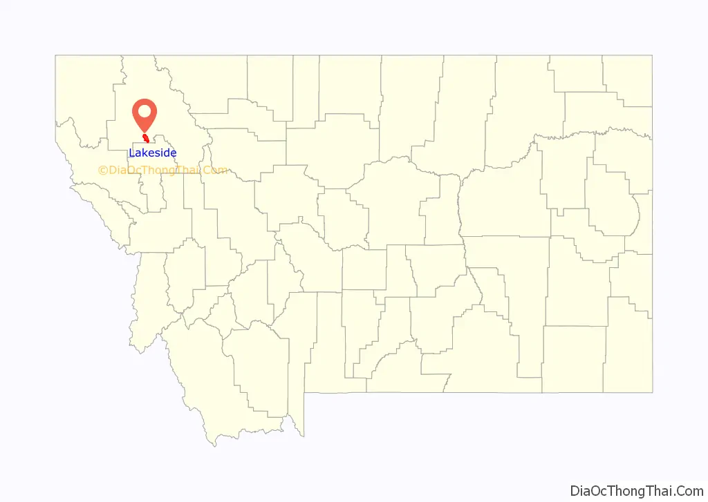
| County: | Flathead County |
| Elevation: | 2,917 ft (889 m) |
| Total Area: | 17.96 sq mi (46.52 km²) |
| Land Area: | 14.08 sq mi (36.47 km²) |
| Water Area: | 3.88 sq mi (10.04 km²) |
| Total Population: | 2,705 |
| Population Density: | 192.09/sq mi (74.17/km²) |
| ZIP code: | 59922 |
| Area code: | 406 |
| FIPS code: | 3041950 |
| GNISfeature ID: | 0785927 |
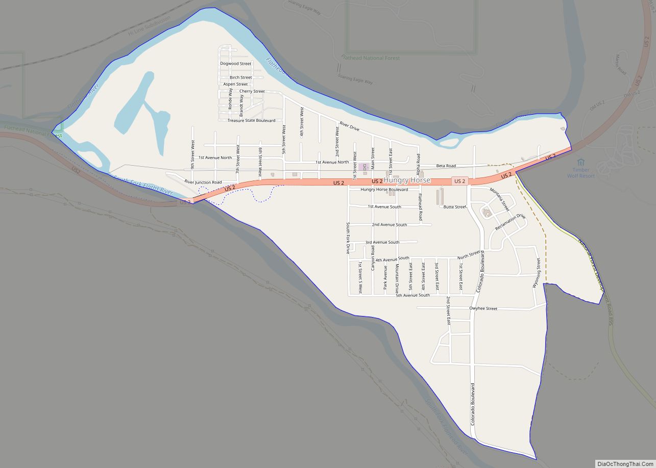
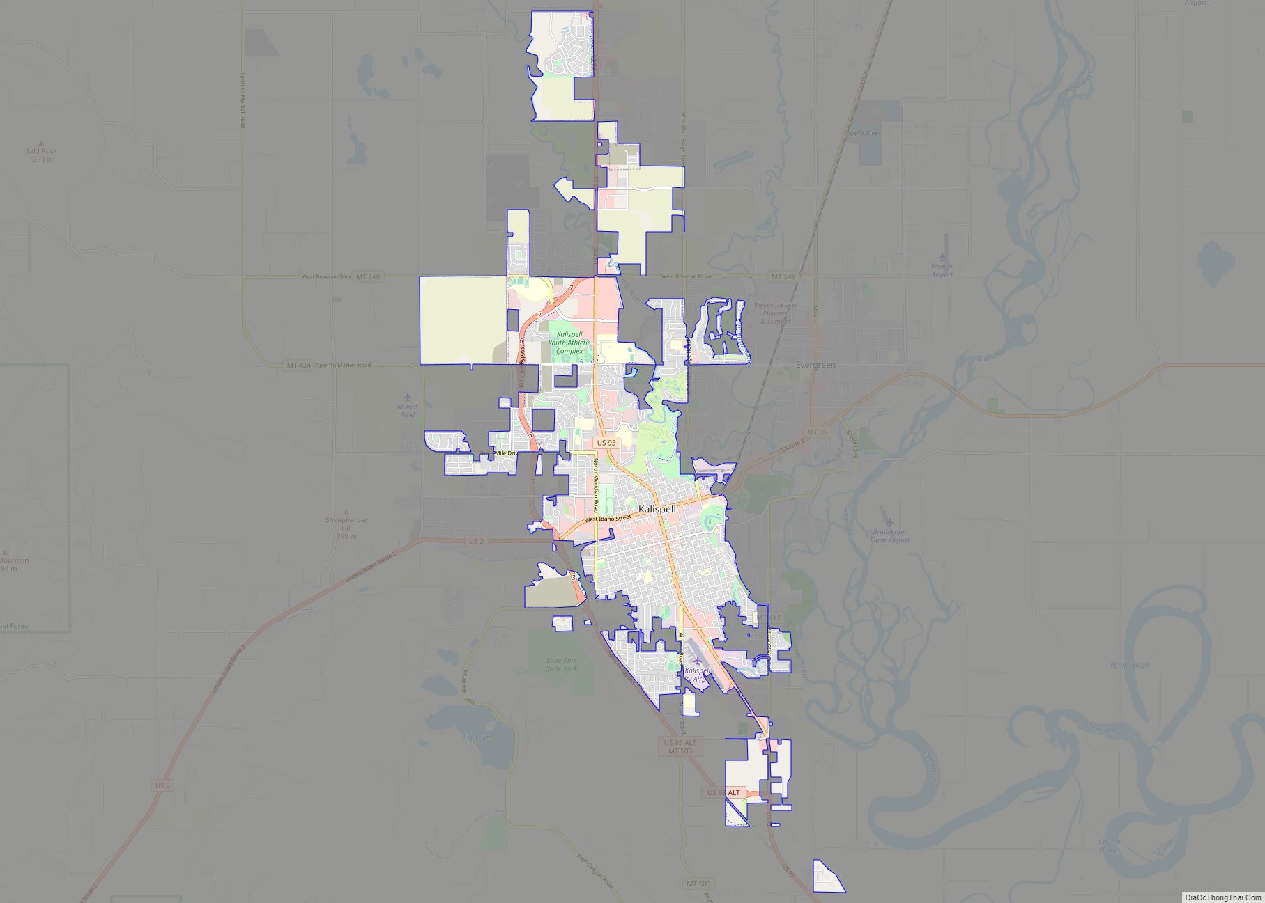
Online Interactive Map
Click on ![]() to view map in "full screen" mode.
to view map in "full screen" mode.
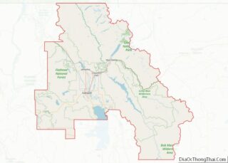
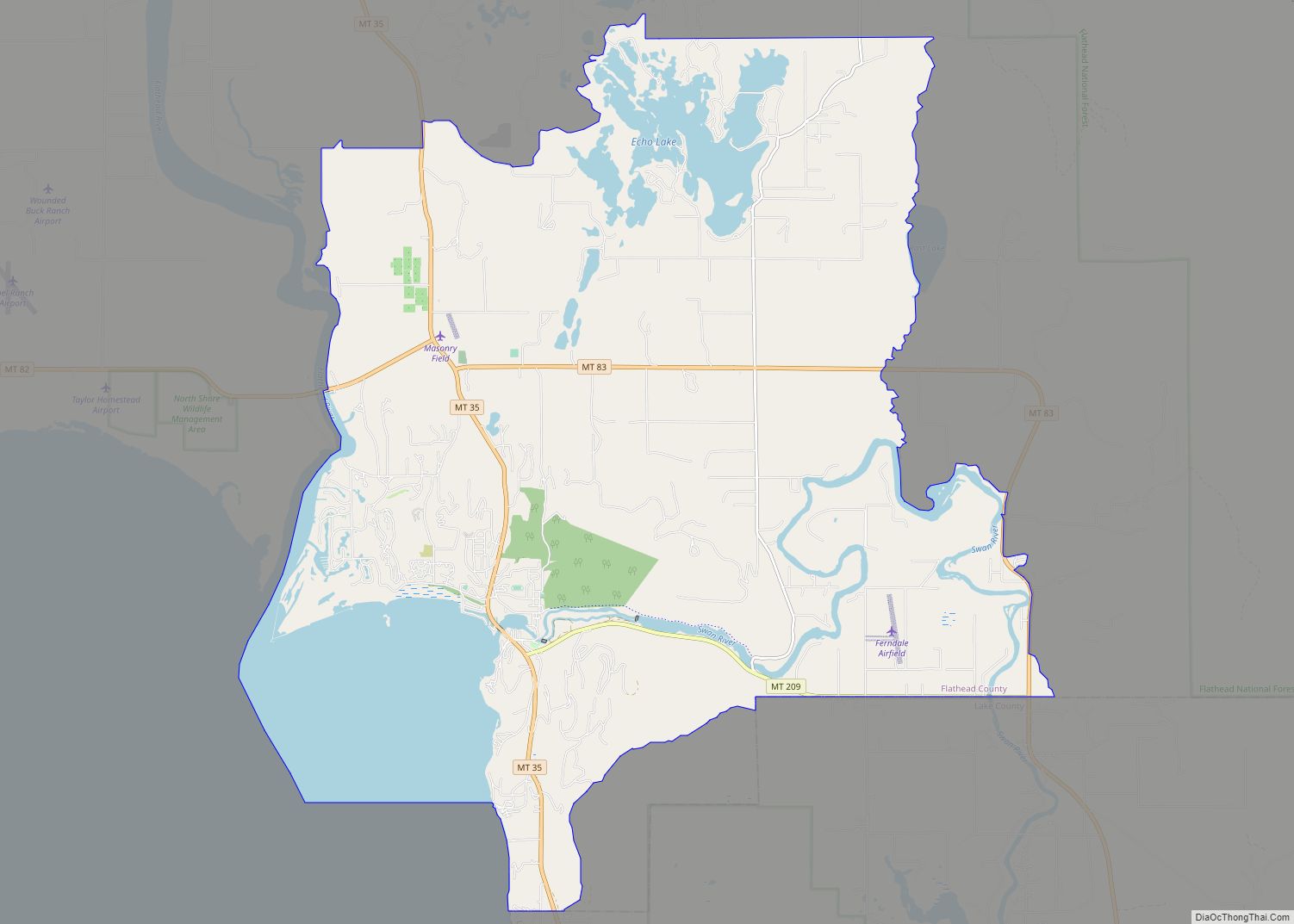
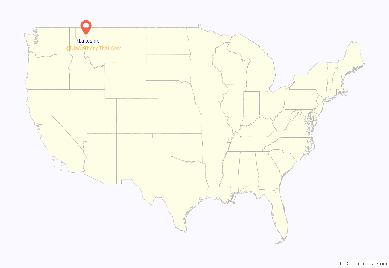
Lakeside location map. Where is Lakeside CDP?
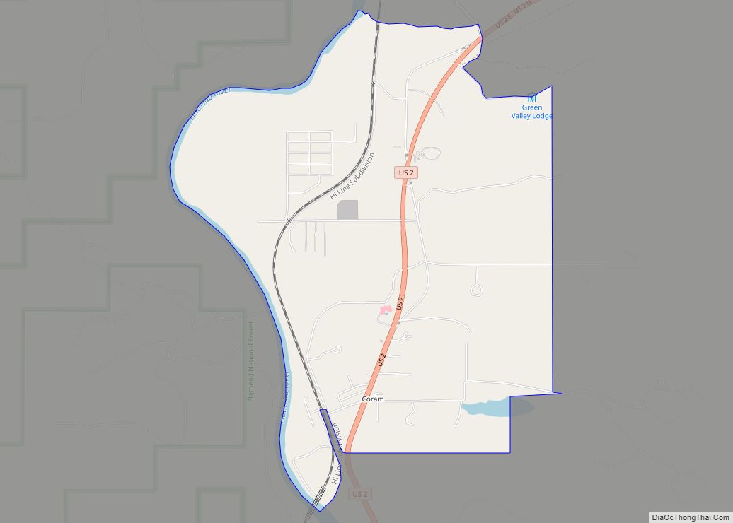
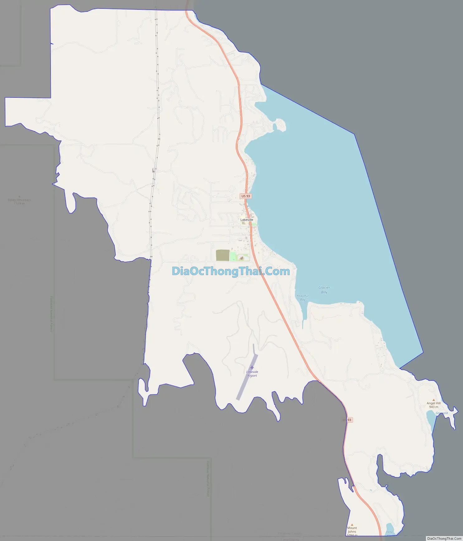
Lakeside Road Map
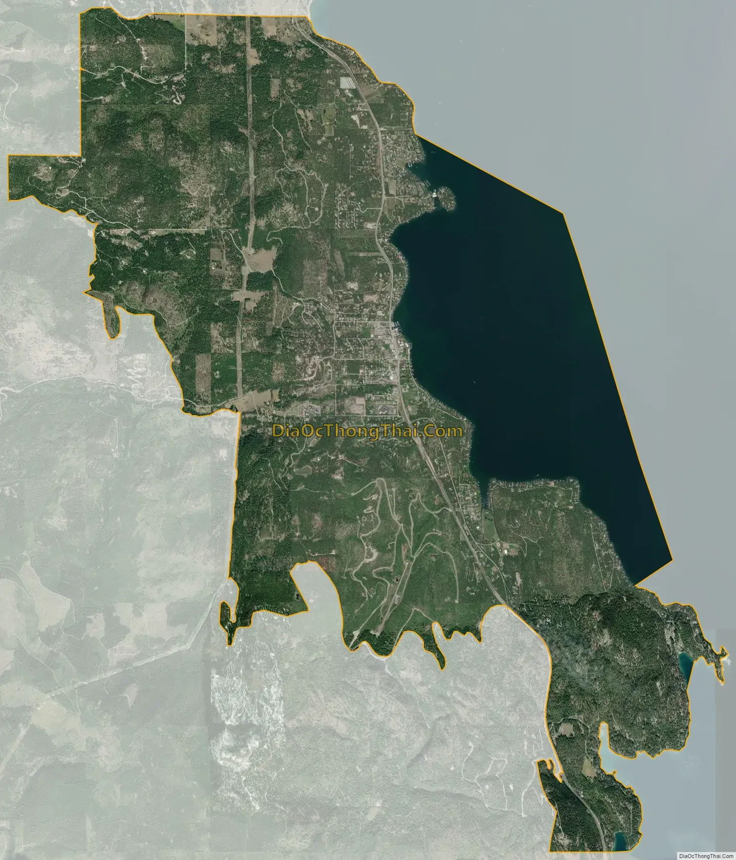
Lakeside city Satellite Map
Geography
Lakeside is located in southern Flathead County at 48°1′12″N 114°13′41″W / 48.02000°N 114.22806°W / 48.02000; -114.22806 (48.019933, -114.228152), on the western shore of the north end of Flathead Lake. It is bordered to the north by Somers, and it extends south as far as the Lake County line. U.S. Route 93 passes through Lakeside, leading north 14 miles (23 km) to Kalispell and south 37 miles (60 km) to Polson at the south end of Flathead Lake.
According to the United States Census Bureau, the Lakeside CDP has a total area of 18.0 square miles (46.5 km), of which 14.1 square miles (36.4 km) is land and 3.9 square miles (10.1 km), or 21.69%, is water.
See also
Map of Montana State and its subdivision:- Beaverhead
- Big Horn
- Blaine
- Broadwater
- Carbon
- Carter
- Cascade
- Chouteau
- Custer
- Daniels
- Dawson
- Deer Lodge
- Fallon
- Fergus
- Flathead
- Gallatin
- Garfield
- Glacier
- Golden Valley
- Granite
- Hill
- Jefferson
- Judith Basin
- Lake
- Lewis and Clark
- Liberty
- Lincoln
- Madison
- McCone
- Meagher
- Mineral
- Missoula
- Musselshell
- Park
- Petroleum
- Phillips
- Pondera
- Powder River
- Powell
- Prairie
- Ravalli
- Richland
- Roosevelt
- Rosebud
- Sanders
- Sheridan
- Silver Bow
- Stillwater
- Sweet Grass
- Teton
- Toole
- Treasure
- Valley
- Wheatland
- Wibaux
- Yellowstone
- Alabama
- Alaska
- Arizona
- Arkansas
- California
- Colorado
- Connecticut
- Delaware
- District of Columbia
- Florida
- Georgia
- Hawaii
- Idaho
- Illinois
- Indiana
- Iowa
- Kansas
- Kentucky
- Louisiana
- Maine
- Maryland
- Massachusetts
- Michigan
- Minnesota
- Mississippi
- Missouri
- Montana
- Nebraska
- Nevada
- New Hampshire
- New Jersey
- New Mexico
- New York
- North Carolina
- North Dakota
- Ohio
- Oklahoma
- Oregon
- Pennsylvania
- Rhode Island
- South Carolina
- South Dakota
- Tennessee
- Texas
- Utah
- Vermont
- Virginia
- Washington
- West Virginia
- Wisconsin
- Wyoming