Lincoln is an unincorporated community and census-designated place (CDP) in Lewis and Clark County, Montana, United States. As of the 2010 census, the population was 1,013.
| Name: | Lincoln CDP |
|---|---|
| LSAD Code: | 57 |
| LSAD Description: | CDP (suffix) |
| State: | Montana |
| County: | Lewis and Clark County |
| Elevation: | 4,541 ft (1,384 m) |
| Total Area: | 18.06 sq mi (46.79 km²) |
| Land Area: | 17.55 sq mi (45.44 km²) |
| Water Area: | 0.52 sq mi (1.34 km²) |
| Total Population: | 998 |
| Population Density: | 56.88/sq mi (21.96/km²) |
| ZIP code: | 59639 |
| Area code: | 406 |
| FIPS code: | 3043675 |
| GNISfeature ID: | 0801064 |
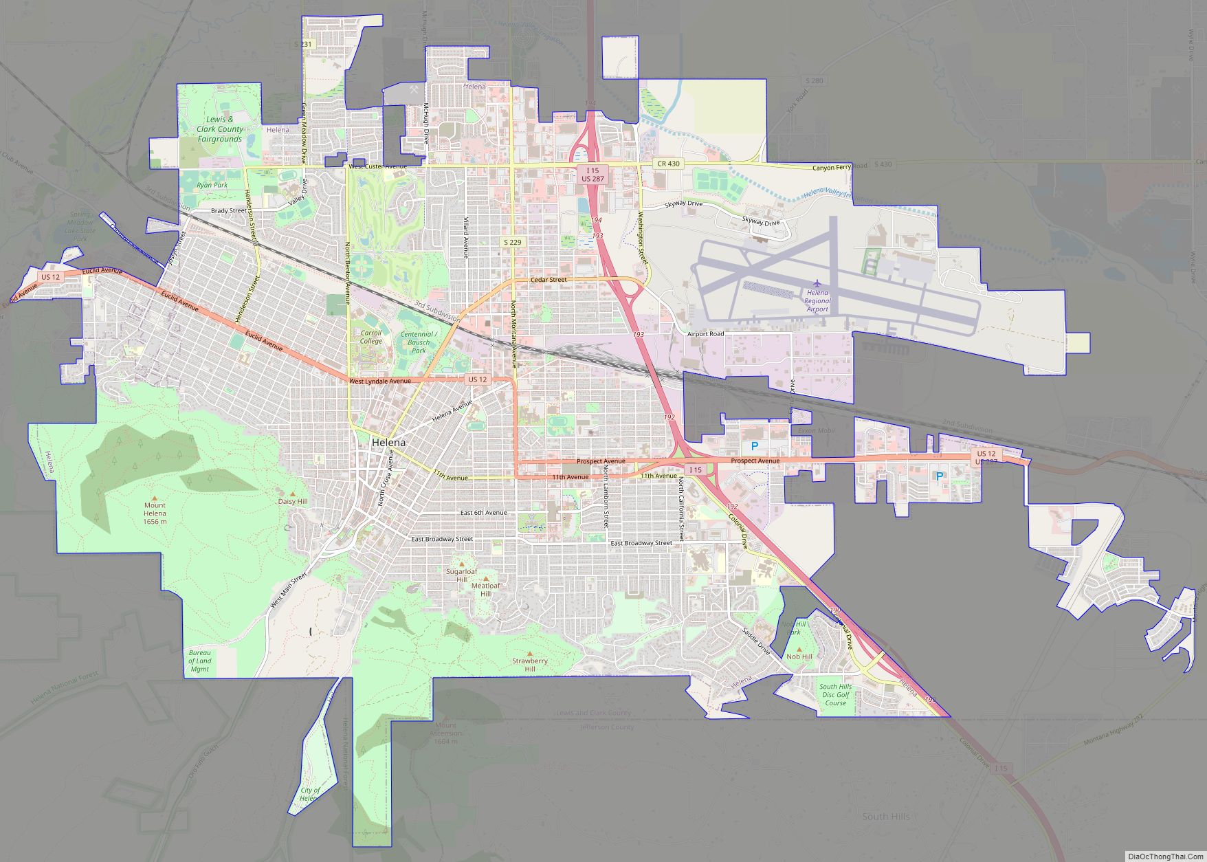
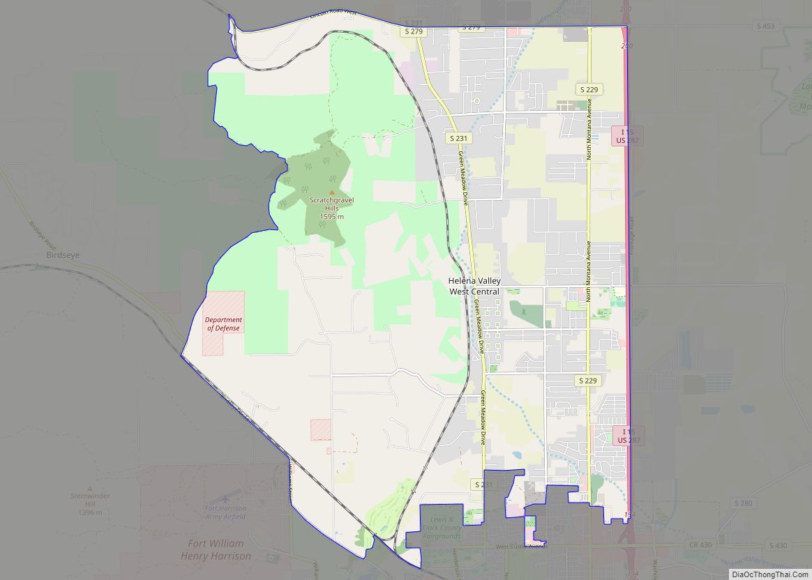
Online Interactive Map
Click on ![]() to view map in "full screen" mode.
to view map in "full screen" mode.
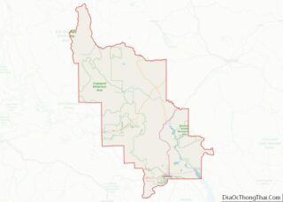
Lincoln location map. Where is Lincoln CDP?


History
Meriwether Lewis passed through the area on his return to St. Louis in 1806, following the famous “River of the Road to the Buffalo” created by Native Americans centuries before. Gold discoveries in the mid-1860s brought miners to a number of camps in the area, and Lincoln was eventually created when nearby Lincoln Gulch was abandoned in favor of the town’s present location. Recreational, logging and mining activities along the Blackfoot River in the early 20th century made it a convenient commercial center. Nearby wilderness areas continue to attract visitors and residents.
The Lincoln Community Hall (1918) and the Hotel Lincoln (1914) are listed on the National Register of Historical Places.
“Unabomber” arrest
On April 3, 1996, federal officers arrested Ted Kaczynski at his remote cabin 5 miles (8 km) south of Lincoln on Stemple Pass Road, under suspicion of being the “Unabomber”, a domestic terrorist who placed pressure-sensitive bombs inside mailed packages. The bombing campaign resulted in three deaths and 23 wounded. Kaczynski is currently serving eight life sentences without the possibility of parole at FMC Butner Prison in North Carolina.
2017 earthquake
At 12:30 a.m. on July 6, 2017, there was a 5.8-magnitude earthquake about 6 miles (10 km) south of Lincoln. The earthquake originated from a depth of nearly 3 miles (5 km) underground, near a fault system known as the Lewis and Clark line, which runs 250 miles (400 km) from northern Idaho to east of Helena, Montana. It was the eighth-strongest earthquake recorded in Montana. There were at least nine more tremors nearby within the first hour after the earthquake, with magnitudes between 3.1 and 4.9.
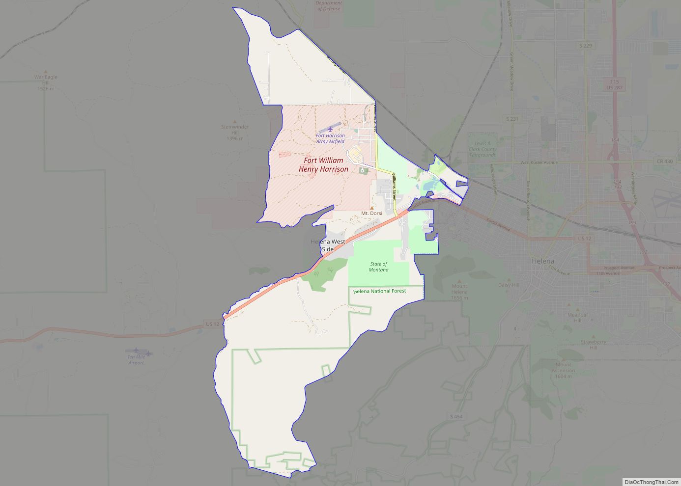
Lincoln Road Map

Lincoln city Satellite Map

Geography
Lincoln is located in western Lewis and Clark County at 46°57′28″N 112°40′20″W / 46.957713°N 112.672178°W / 46.957713; -112.672178 (46.957713, -112.672178). The CDP contains the unincorporated center of Lincoln and extends 6 miles (10 km) east up the Blackfoot River valley and 3 miles (5 km) west, or down valley. Its elevation is 4,536 feet (1,383 m) above sea level. According to the United States Census Bureau, the CDP has a total area of 18.1 square miles (46.8 km), of which 17.5 square miles (45.4 km) are land and 0.50 square miles (1.3 km), or 2.87%, are water.
Lincoln is located on Montana Highway 200, the longest route signed as a state highway in the United States, running 706.6 miles (1,137.2 km) from Idaho to North Dakota. From Lincoln, the highway runs northeast up and over the Continental Divide 87 miles (140 km) to Great Falls and west 77 miles (124 km) to Missoula.
Lincoln has a humid continental climate (Dfb) bordering closely on a subarctic climate (Dfc). Summers are warm to hot while winters are cold and snowy, with annual average snowfall totaling 85.4 inches (217 cm).
Rogers Pass, 18 miles (29 km) northeast of Lincoln on Highway 200, is known for being the location of the coldest recorded temperature in the United States outside of Alaska. On January 20, 1954, a temperature of −70 °F (−57 °C) was recorded. Lincoln has a humid continental climate bordering on semi-arid. Snow is usually dry powder, although strong Pacific Ocean storms sometimes bring moisture-laden snow to the area.
See also
Map of Montana State and its subdivision:- Beaverhead
- Big Horn
- Blaine
- Broadwater
- Carbon
- Carter
- Cascade
- Chouteau
- Custer
- Daniels
- Dawson
- Deer Lodge
- Fallon
- Fergus
- Flathead
- Gallatin
- Garfield
- Glacier
- Golden Valley
- Granite
- Hill
- Jefferson
- Judith Basin
- Lake
- Lewis and Clark
- Liberty
- Lincoln
- Madison
- McCone
- Meagher
- Mineral
- Missoula
- Musselshell
- Park
- Petroleum
- Phillips
- Pondera
- Powder River
- Powell
- Prairie
- Ravalli
- Richland
- Roosevelt
- Rosebud
- Sanders
- Sheridan
- Silver Bow
- Stillwater
- Sweet Grass
- Teton
- Toole
- Treasure
- Valley
- Wheatland
- Wibaux
- Yellowstone
- Alabama
- Alaska
- Arizona
- Arkansas
- California
- Colorado
- Connecticut
- Delaware
- District of Columbia
- Florida
- Georgia
- Hawaii
- Idaho
- Illinois
- Indiana
- Iowa
- Kansas
- Kentucky
- Louisiana
- Maine
- Maryland
- Massachusetts
- Michigan
- Minnesota
- Mississippi
- Missouri
- Montana
- Nebraska
- Nevada
- New Hampshire
- New Jersey
- New Mexico
- New York
- North Carolina
- North Dakota
- Ohio
- Oklahoma
- Oregon
- Pennsylvania
- Rhode Island
- South Carolina
- South Dakota
- Tennessee
- Texas
- Utah
- Vermont
- Virginia
- Washington
- West Virginia
- Wisconsin
- Wyoming