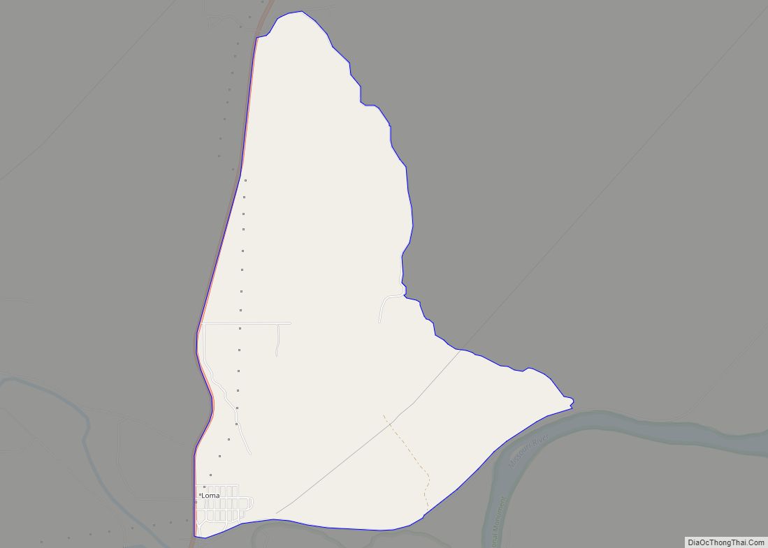
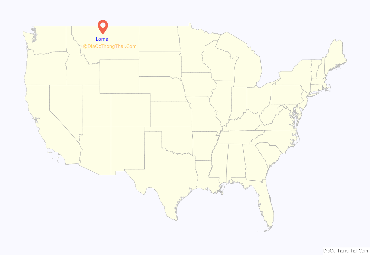
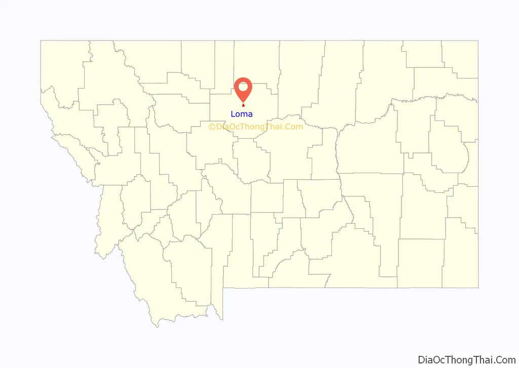
Loma is a census-designated place (CDP) in Chouteau County, Montana, United States. The population was 85 at the 2010 census.
| Name: | Loma CDP |
|---|---|
| LSAD Code: | 57 |
| LSAD Description: | CDP (suffix) |
| State: | Montana |
| County: | Chouteau County |
| Elevation: | 2,575 ft (785 m) |
| Total Area: | 3.44 sq mi (8.92 km²) |
| Land Area: | 3.44 sq mi (8.92 km²) |
| Water Area: | 0.00 sq mi (0.00 km²) |
| Total Population: | 65 |
| Population Density: | 18.87/sq mi (7.29/km²) |
| ZIP code: | 59460 |
| Area code: | 406 |
| FIPS code: | 3044800 |
| GNISfeature ID: | 0773566 |
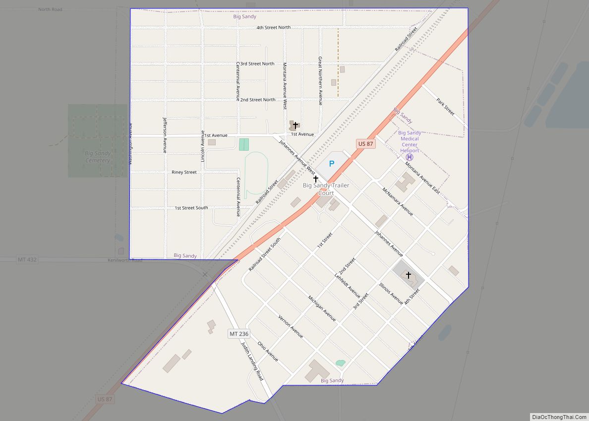
Online Interactive Map
Click on ![]() to view map in "full screen" mode.
to view map in "full screen" mode.
Loma location map. Where is Loma CDP?
History
James Kipp, of the American Fur Company founded the first community here in 1831. The Blackfeet laid siege to the fort, and inhabitants quickly abandoned the site. The next year, the American Fur Company established another trading post, Fort McKenzie, a few miles upstream of the old site. During the 1860s, businessmen built a townsite near the confluence of the Marias and the Missouri rivers, called Ophir. On May 25, 1865, the Blackfeet killed 10 men in the developing town.
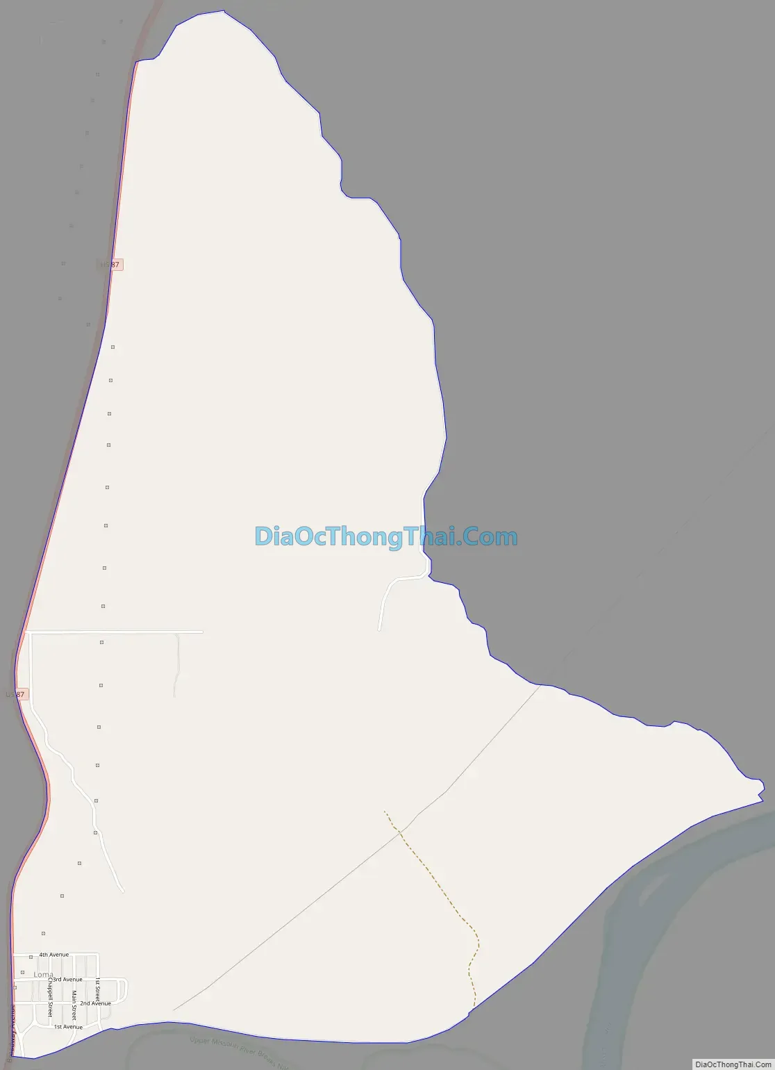
Loma Road Map
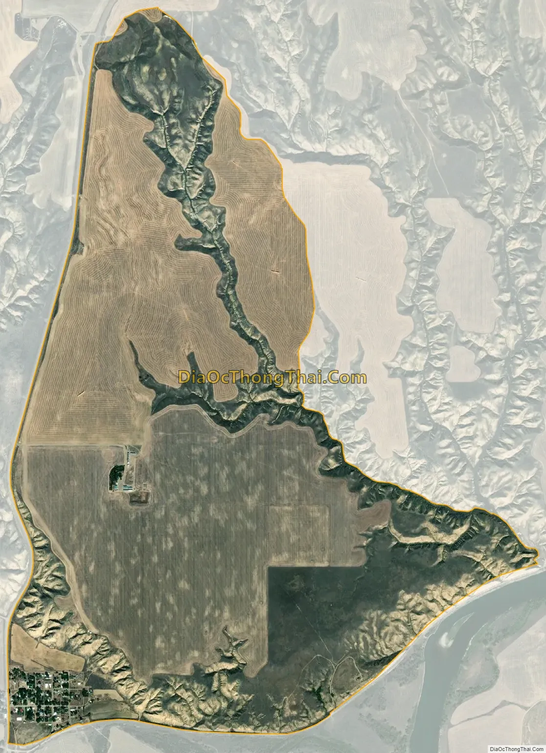
Loma city Satellite Map
Geography
Loma is located in central Chouteau County at the confluence of the Marias and Missouri rivers. U.S. Route 87 passes through the community, leading southwest 10 miles (16 km) to Fort Benton, the Chouteau County seat, and northeast 60 miles (97 km) to Havre.
According to the United States Census Bureau, the CDP has a total area of 3.42 square miles (8.86 km), all land.
The Loma area’s dry climate supports a natural vegetation of low shrubs and grass. Trees, mostly cottonwood, grow on developed land and in floodplains. Loma is the location of the most extreme recorded temperature change in a 24-hour period in the United States. On January 15, 1972, the temperature rose from −54 °F (−48 °C) to 49 °F (9 °C); a dramatic example of the regional Chinook wind in action.
See also
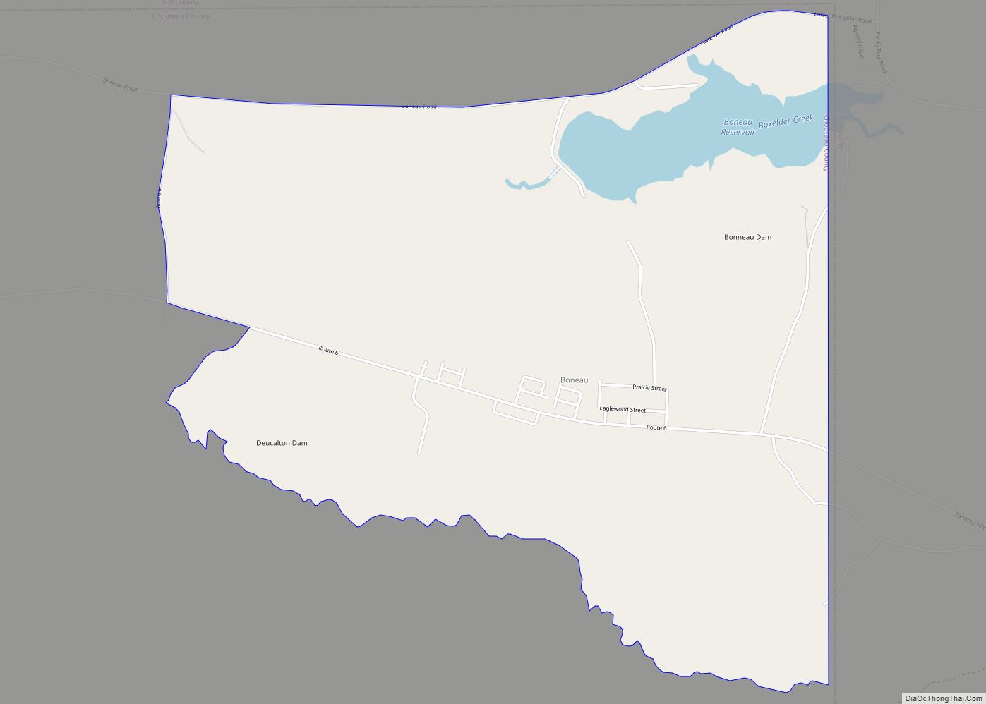
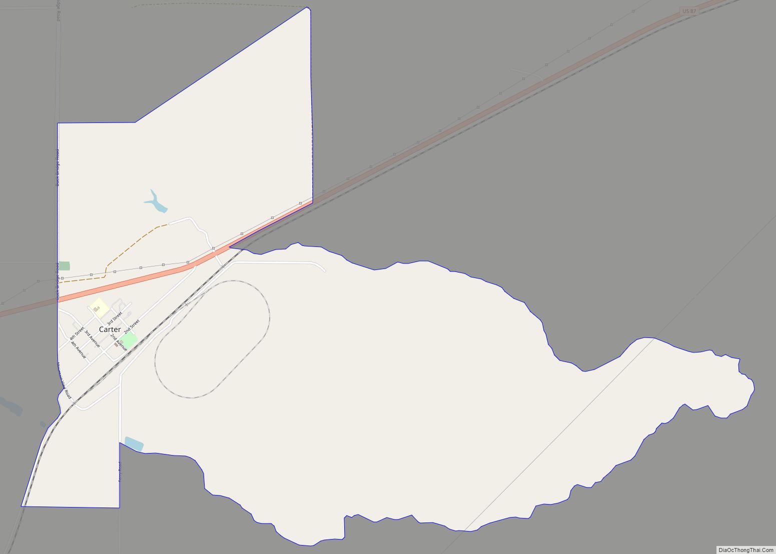
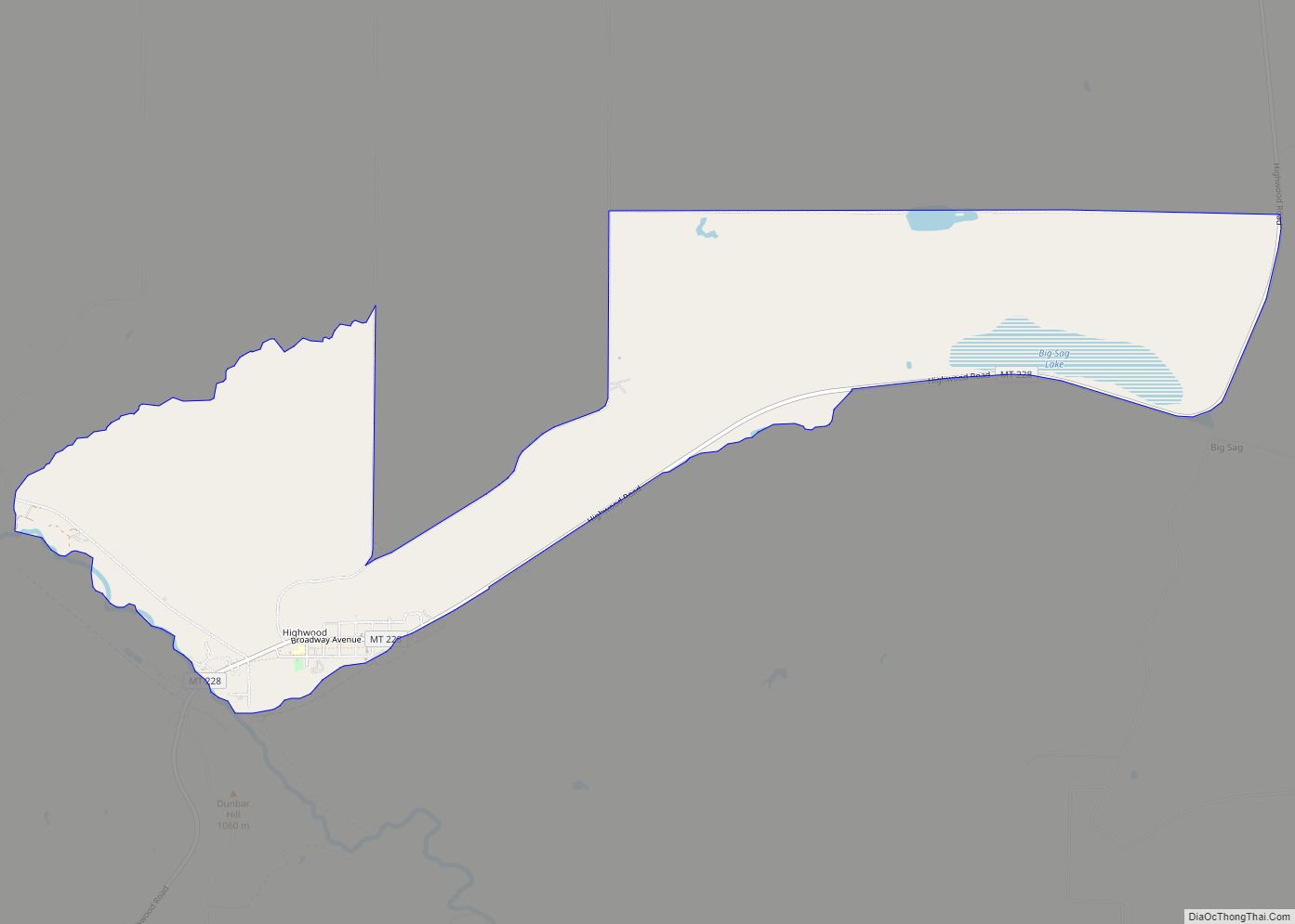
Map of Montana State and its subdivision:- Beaverhead
- Big Horn
- Blaine
- Broadwater
- Carbon
- Carter
- Cascade
- Chouteau
- Custer
- Daniels
- Dawson
- Deer Lodge
- Fallon
- Fergus
- Flathead
- Gallatin
- Garfield
- Glacier
- Golden Valley
- Granite
- Hill
- Jefferson
- Judith Basin
- Lake
- Lewis and Clark
- Liberty
- Lincoln
- Madison
- McCone
- Meagher
- Mineral
- Missoula
- Musselshell
- Park
- Petroleum
- Phillips
- Pondera
- Powder River
- Powell
- Prairie
- Ravalli
- Richland
- Roosevelt
- Rosebud
- Sanders
- Sheridan
- Silver Bow
- Stillwater
- Sweet Grass
- Teton
- Toole
- Treasure
- Valley
- Wheatland
- Wibaux
- Yellowstone
- Alabama
- Alaska
- Arizona
- Arkansas
- California
- Colorado
- Connecticut
- Delaware
- District of Columbia
- Florida
- Georgia
- Hawaii
- Idaho
- Illinois
- Indiana
- Iowa
- Kansas
- Kentucky
- Louisiana
- Maine
- Maryland
- Massachusetts
- Michigan
- Minnesota
- Mississippi
- Missouri
- Montana
- Nebraska
- Nevada
- New Hampshire
- New Jersey
- New Mexico
- New York
- North Carolina
- North Dakota
- Ohio
- Oklahoma
- Oregon
- Pennsylvania
- Rhode Island
- South Carolina
- South Dakota
- Tennessee
- Texas
- Utah
- Vermont
- Virginia
- Washington
- West Virginia
- Wisconsin
- Wyoming