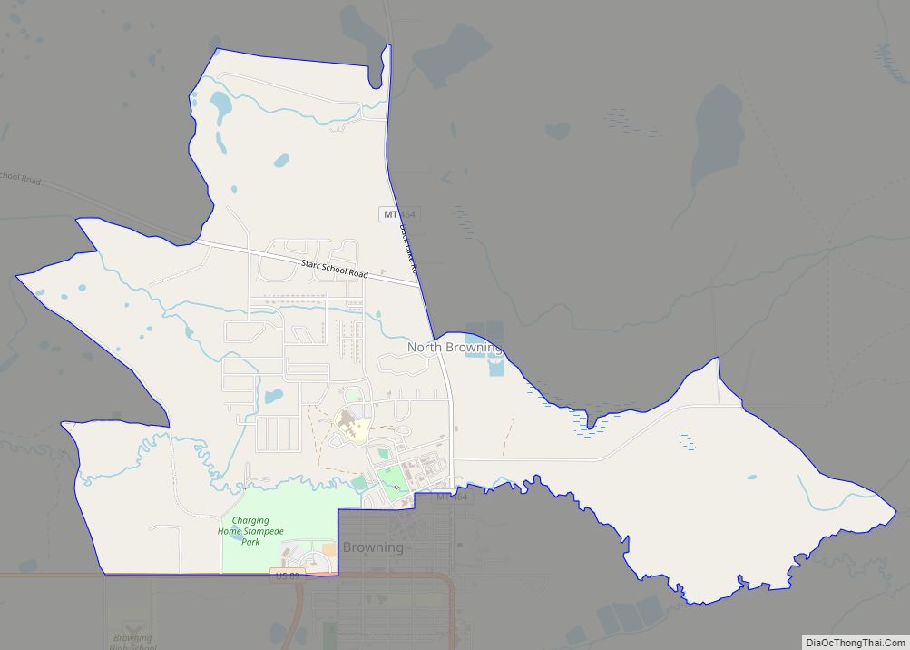
North Browning is a census-designated place (CDP) in Glacier County, Montana, United States. The population was 2,408 at the 2010 census.
| Name: | North Browning CDP |
|---|---|
| LSAD Code: | 57 |
| LSAD Description: | CDP (suffix) |
| State: | Montana |
| County: | Glacier County |
| Elevation: | 4,367 ft (1,331 m) |
| Total Area: | 2.90 sq mi (7.51 km²) |
| Land Area: | 2.89 sq mi (7.49 km²) |
| Water Area: | 0.01 sq mi (0.02 km²) |
| Total Population: | 2,653 |
| Population Density: | 917.68/sq mi (354.32/km²) |
| Area code: | 406 |
| FIPS code: | 3054510 |
| GNISfeature ID: | 1867341 |
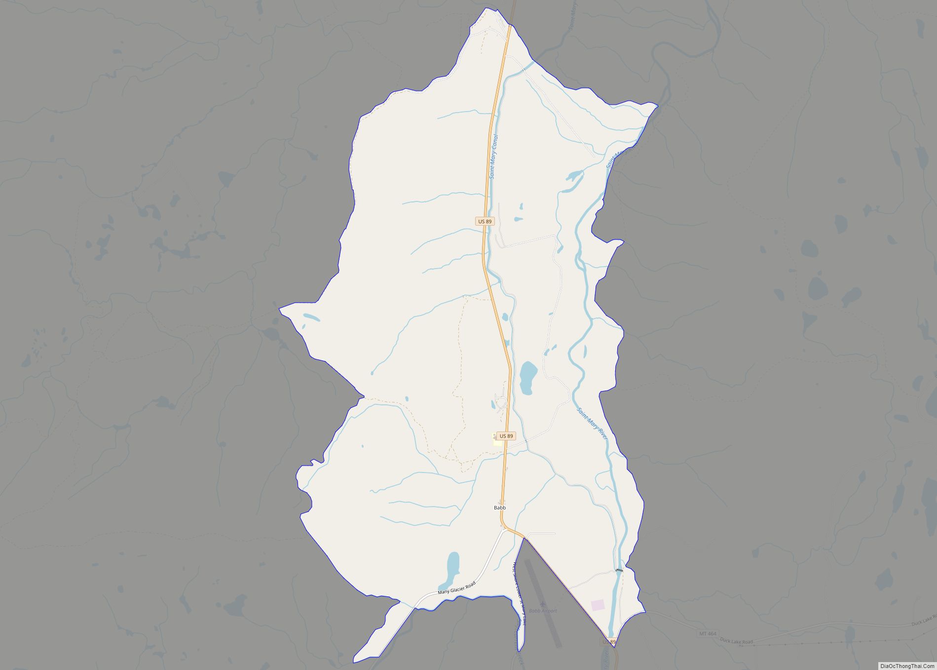
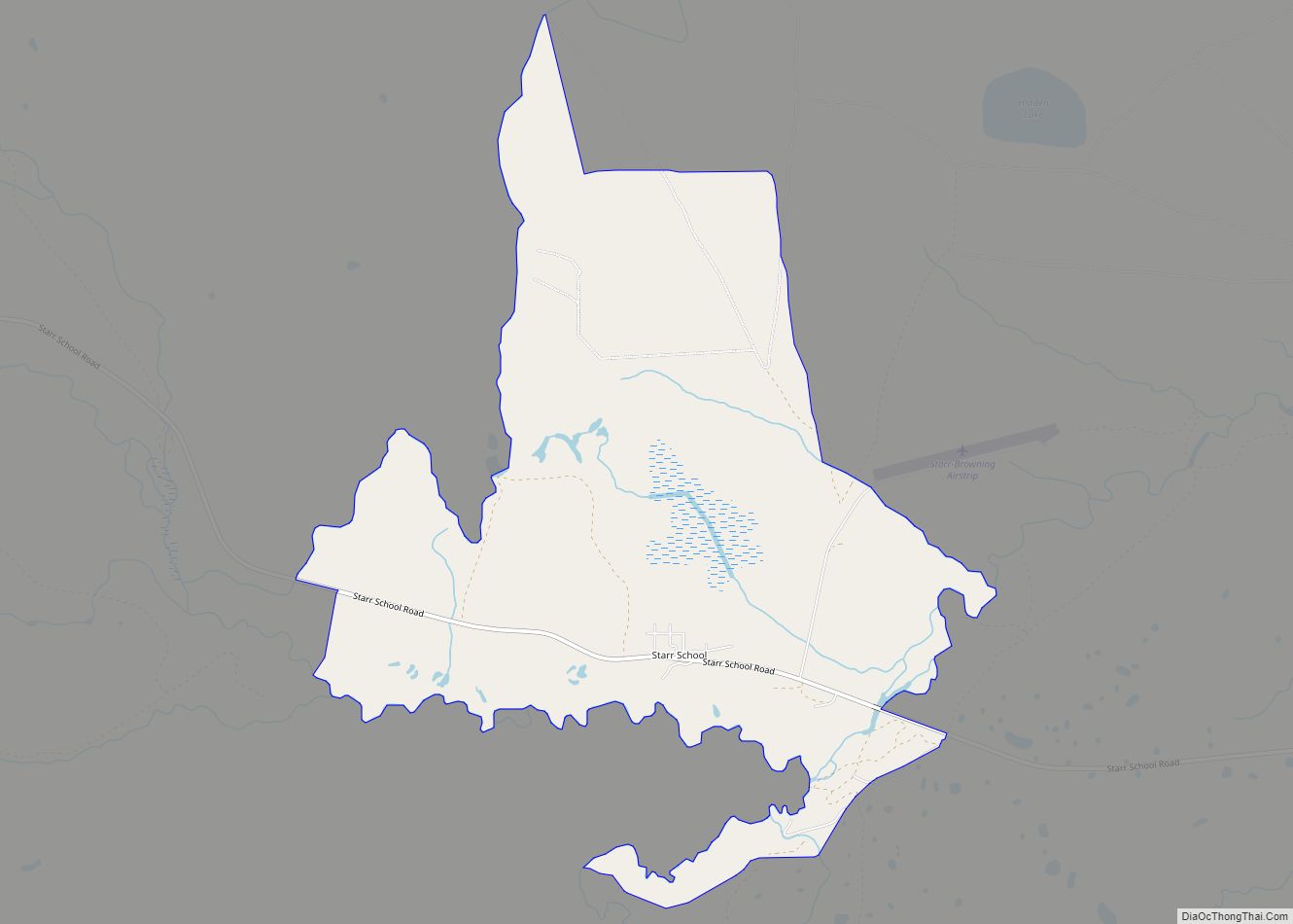
Online Interactive Map
Click on ![]() to view map in "full screen" mode.
to view map in "full screen" mode.
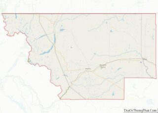
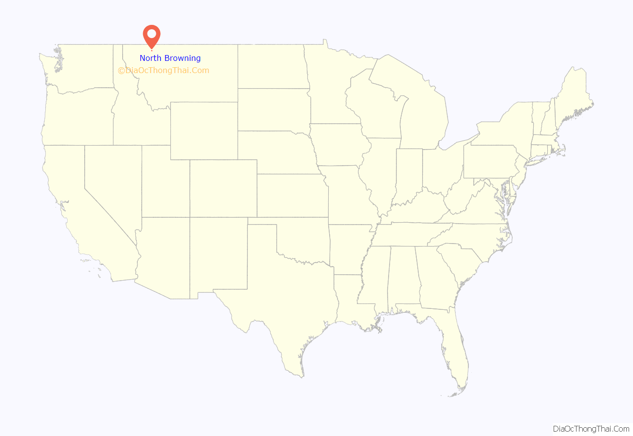
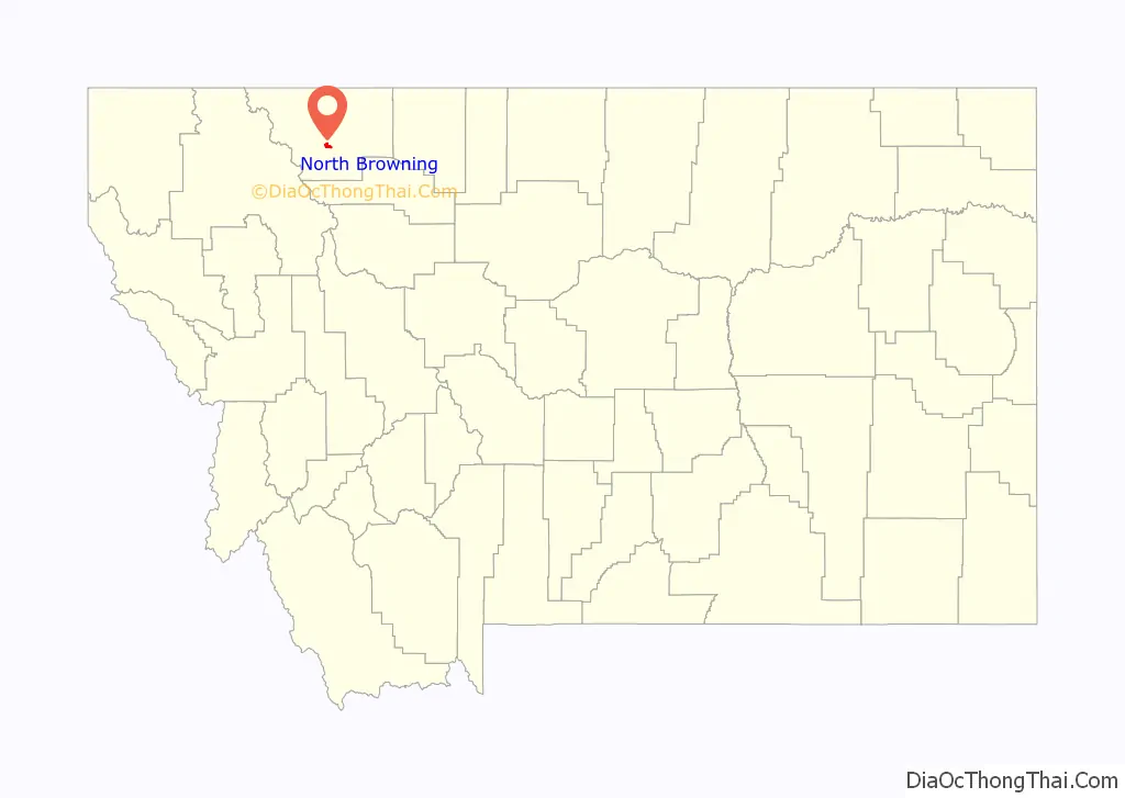
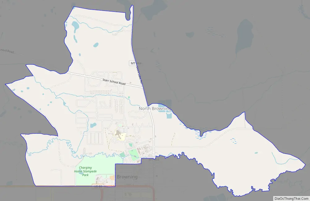
North Browning location map. Where is North Browning CDP?
North Browning Road Map
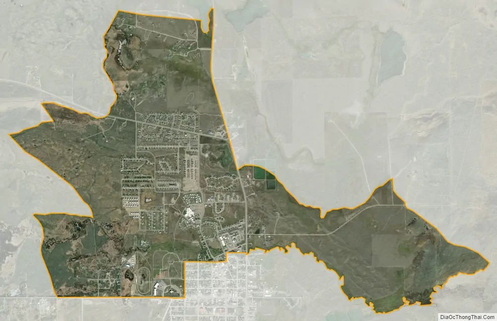
North Browning city Satellite Map
Geography
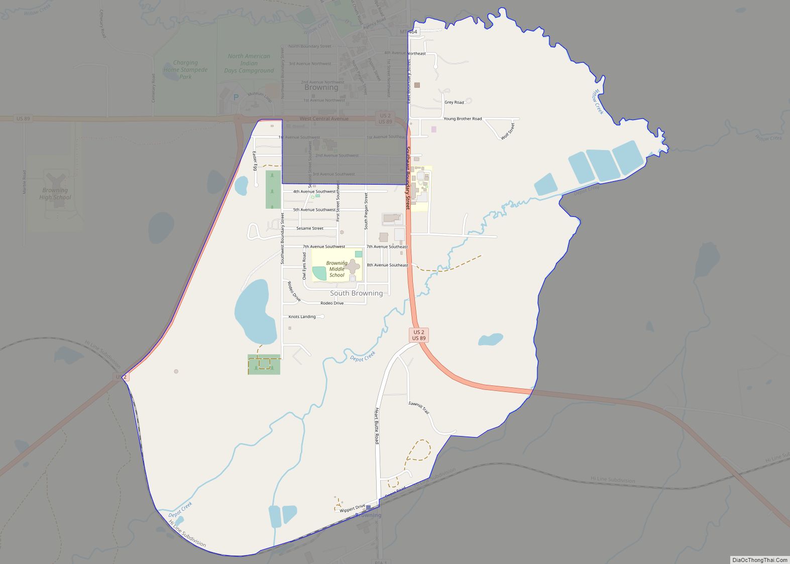
North Browning is located at 48°34′3″N 113°1′4″W / 48.56750°N 113.01778°W / 48.56750; -113.01778 (48.567499, -113.017871). It is bordered to the south by the town of Browning and is within the bounds of the Blackfeet Indian Reservation.
According to the United States Census Bureau, the CDP has a total area of 3.8 square miles (9.9 km), of which 0.01 square miles (0.02 km), or 0.23%, is water.
See also
Map of Montana State and its subdivision:- Beaverhead
- Big Horn
- Blaine
- Broadwater
- Carbon
- Carter
- Cascade
- Chouteau
- Custer
- Daniels
- Dawson
- Deer Lodge
- Fallon
- Fergus
- Flathead
- Gallatin
- Garfield
- Glacier
- Golden Valley
- Granite
- Hill
- Jefferson
- Judith Basin
- Lake
- Lewis and Clark
- Liberty
- Lincoln
- Madison
- McCone
- Meagher
- Mineral
- Missoula
- Musselshell
- Park
- Petroleum
- Phillips
- Pondera
- Powder River
- Powell
- Prairie
- Ravalli
- Richland
- Roosevelt
- Rosebud
- Sanders
- Sheridan
- Silver Bow
- Stillwater
- Sweet Grass
- Teton
- Toole
- Treasure
- Valley
- Wheatland
- Wibaux
- Yellowstone
- Alabama
- Alaska
- Arizona
- Arkansas
- California
- Colorado
- Connecticut
- Delaware
- District of Columbia
- Florida
- Georgia
- Hawaii
- Idaho
- Illinois
- Indiana
- Iowa
- Kansas
- Kentucky
- Louisiana
- Maine
- Maryland
- Massachusetts
- Michigan
- Minnesota
- Mississippi
- Missouri
- Montana
- Nebraska
- Nevada
- New Hampshire
- New Jersey
- New Mexico
- New York
- North Carolina
- North Dakota
- Ohio
- Oklahoma
- Oregon
- Pennsylvania
- Rhode Island
- South Carolina
- South Dakota
- Tennessee
- Texas
- Utah
- Vermont
- Virginia
- Washington
- West Virginia
- Wisconsin
- Wyoming