Pablo is a census-designated place (CDP) in Lake County, Montana, United States. The population was 2,254 at the 2010 census, up from 1,814 in 2000. It is the home of Salish Kootenai College and the seat of government of the Flathead Indian Reservation.
| Name: | Pablo CDP |
|---|---|
| LSAD Code: | 57 |
| LSAD Description: | CDP (suffix) |
| State: | Montana |
| County: | Lake County |
| Elevation: | 3,091 ft (942 m) |
| Total Area: | 4.85 sq mi (12.56 km²) |
| Land Area: | 4.85 sq mi (12.56 km²) |
| Water Area: | 0.00 sq mi (0.00 km²) |
| Total Population: | 2,137 |
| Population Density: | 441.01/sq mi (170.28/km²) |
| ZIP code: | 59855 |
| Area code: | 406 |
| FIPS code: | 3056350 |
| GNISfeature ID: | 0775026 |
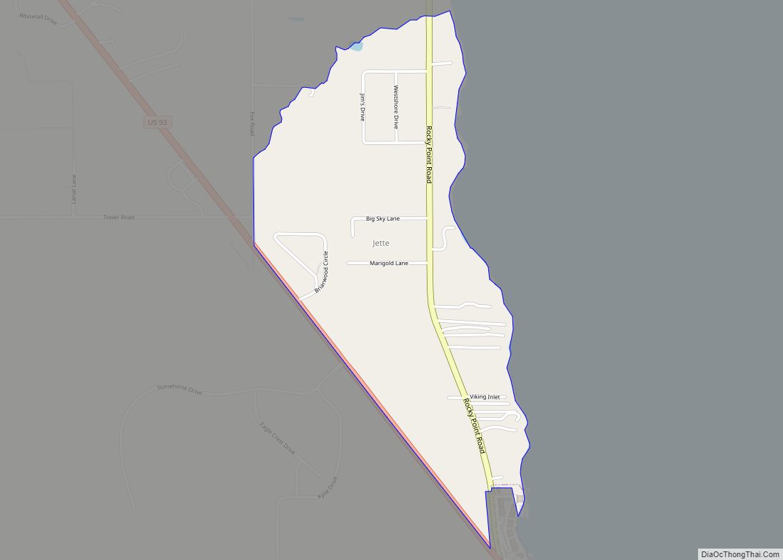
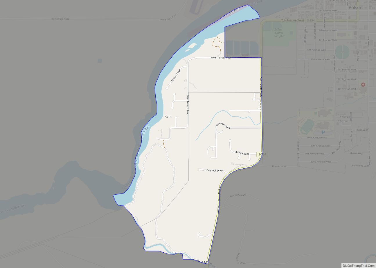
Online Interactive Map
Click on ![]() to view map in "full screen" mode.
to view map in "full screen" mode.
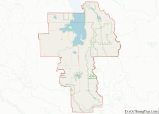
Pablo location map. Where is Pablo CDP?


History
Pablo got its start in 1917, when the Northern Pacific Railway completed a branch line between Dixon and Polson. It takes its name from Michel Pablo, known for his efforts to save the American bison from extinction.
People’s Center fire
On September 6, 2020, an arsonist set fire to the People’s Center, an education center and museum space for Flathead history and culture. The center lost its repository room, offices, and commercial room were lost in the blaze, but the foyer, education room, and museum area survived. Much of the surviving collection has presently been moved to the Dr. Joe McDonald Health and Activity Center, which resides on the campus of Salish Kootenai College.
The suspect, a 33-year-old male, died at the scene. Doors had been barricaded from within, resulting in an increased difficulty for the firefighters at the scene.
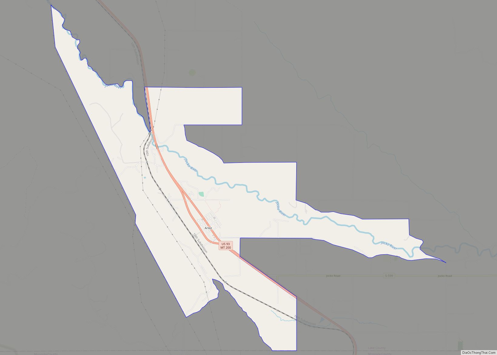
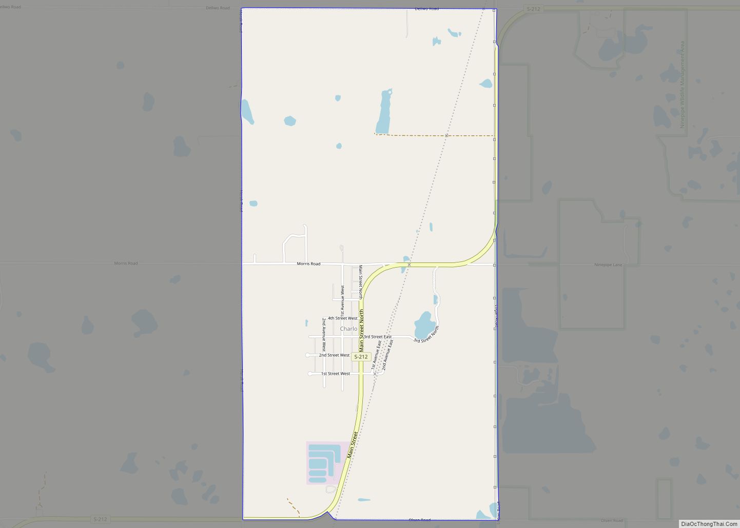
Pablo Road Map

Pablo city Satellite Map

Geography
Pablo is located in central Lake County at 47°36′6″N 114°7′1″W / 47.60167°N 114.11694°W / 47.60167; -114.11694 (47.601740, -114.116817). U.S. Route 93 passes through Pablo, east of the town center. The highway leads north 8 miles (13 km) to Polson, the county seat, and south 5 miles (8 km) to Ronan. It is near Pablo National Wildlife Refuge.
According to the United States Census Bureau, the CDP has a total area of 4.9 square miles (12.6 km), of which 1.2 acres (4,893 m), or 0.04%, are water.
Climate
This climatic region is typified by large seasonal temperature differences, with warm to hot (and often humid) summers and cold (sometimes severely cold) winters. According to the Köppen Climate Classification system, Pablo has a humid continental climate, abbreviated “Dfb” on climate maps.
See also
Map of Montana State and its subdivision:- Beaverhead
- Big Horn
- Blaine
- Broadwater
- Carbon
- Carter
- Cascade
- Chouteau
- Custer
- Daniels
- Dawson
- Deer Lodge
- Fallon
- Fergus
- Flathead
- Gallatin
- Garfield
- Glacier
- Golden Valley
- Granite
- Hill
- Jefferson
- Judith Basin
- Lake
- Lewis and Clark
- Liberty
- Lincoln
- Madison
- McCone
- Meagher
- Mineral
- Missoula
- Musselshell
- Park
- Petroleum
- Phillips
- Pondera
- Powder River
- Powell
- Prairie
- Ravalli
- Richland
- Roosevelt
- Rosebud
- Sanders
- Sheridan
- Silver Bow
- Stillwater
- Sweet Grass
- Teton
- Toole
- Treasure
- Valley
- Wheatland
- Wibaux
- Yellowstone
- Alabama
- Alaska
- Arizona
- Arkansas
- California
- Colorado
- Connecticut
- Delaware
- District of Columbia
- Florida
- Georgia
- Hawaii
- Idaho
- Illinois
- Indiana
- Iowa
- Kansas
- Kentucky
- Louisiana
- Maine
- Maryland
- Massachusetts
- Michigan
- Minnesota
- Mississippi
- Missouri
- Montana
- Nebraska
- Nevada
- New Hampshire
- New Jersey
- New Mexico
- New York
- North Carolina
- North Dakota
- Ohio
- Oklahoma
- Oregon
- Pennsylvania
- Rhode Island
- South Carolina
- South Dakota
- Tennessee
- Texas
- Utah
- Vermont
- Virginia
- Washington
- West Virginia
- Wisconsin
- Wyoming