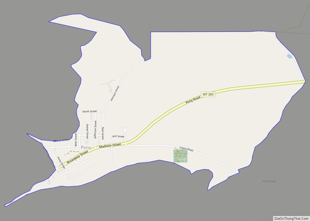
Pony is an unincorporated community and census-designated place in northeastern Madison County, Montana, United States on the eastern edge of the Tobacco Root Mountains. It includes the 192-acre (78 ha) Pony Historic District, a historic district with 95 contributing buildings listed on the National Register of Historic Places.
The town gained its name from the nickname of one of its early miners, Tecumseth Smith, a small man nicknamed “Pony” because of his diminutive size.
Settled in the 1860s, in the late nineteenth century, Pony was a prosperous gold-mining community with at least 5,000 residents. Mining operations declined in the early 20th century and all were closed by 1922.
A number of historic buildings from Pony’s boom era remain in the old town today. Major buildings are managed, voluntarily, by The Pony Homecoming Club, a non-profit organization that maintains the town’s public spaces.
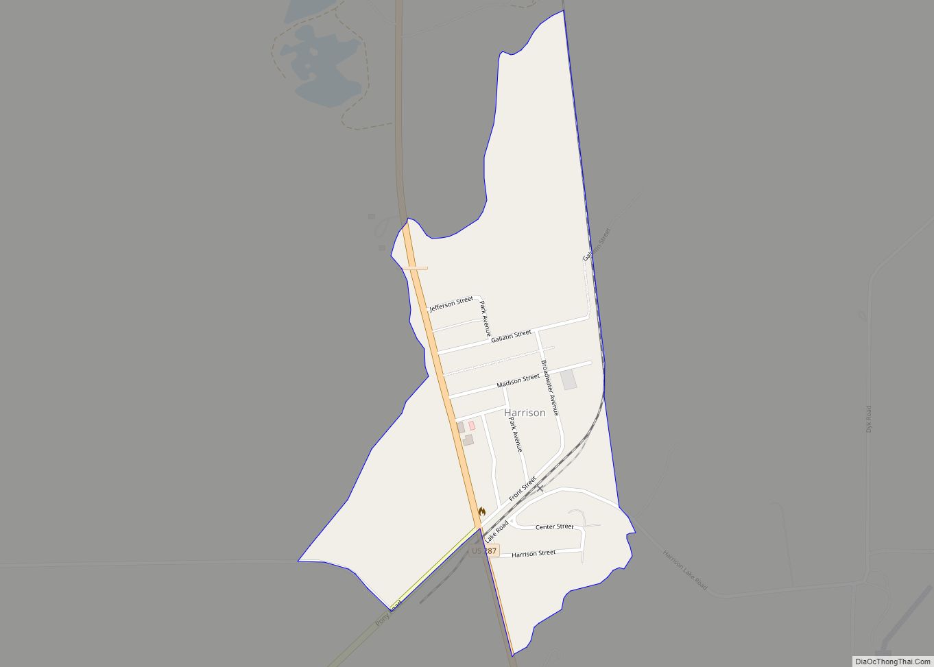
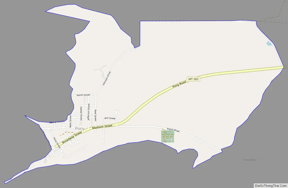
Montana Highway 283 passes through town. It is about 6 miles from Harrison.
Former Montana Lieutenant Gov. Karl Ohs owned a ranch in Pony.
| Name: | Pony CDP |
|---|---|
| LSAD Code: | 57 |
| LSAD Description: | CDP (suffix) |
| State: | Montana |
| County: | Madison County |
| Total Area: | 1.34 sq mi (3.48 km²) |
| Land Area: | 1.34 sq mi (3.48 km²) |
| Water Area: | 0.00 sq mi (0.00 km²) |
| Total Population: | 127 |
| Population Density: | 94.63/sq mi (36.54/km²) |
| FIPS code: | 3058900 |
| GNISfeature ID: | 789074 |
| Website: | www.ponyhomecoming.com |
Online Interactive Map
Click on ![]() to view map in "full screen" mode.
to view map in "full screen" mode.
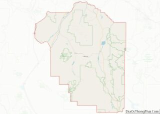
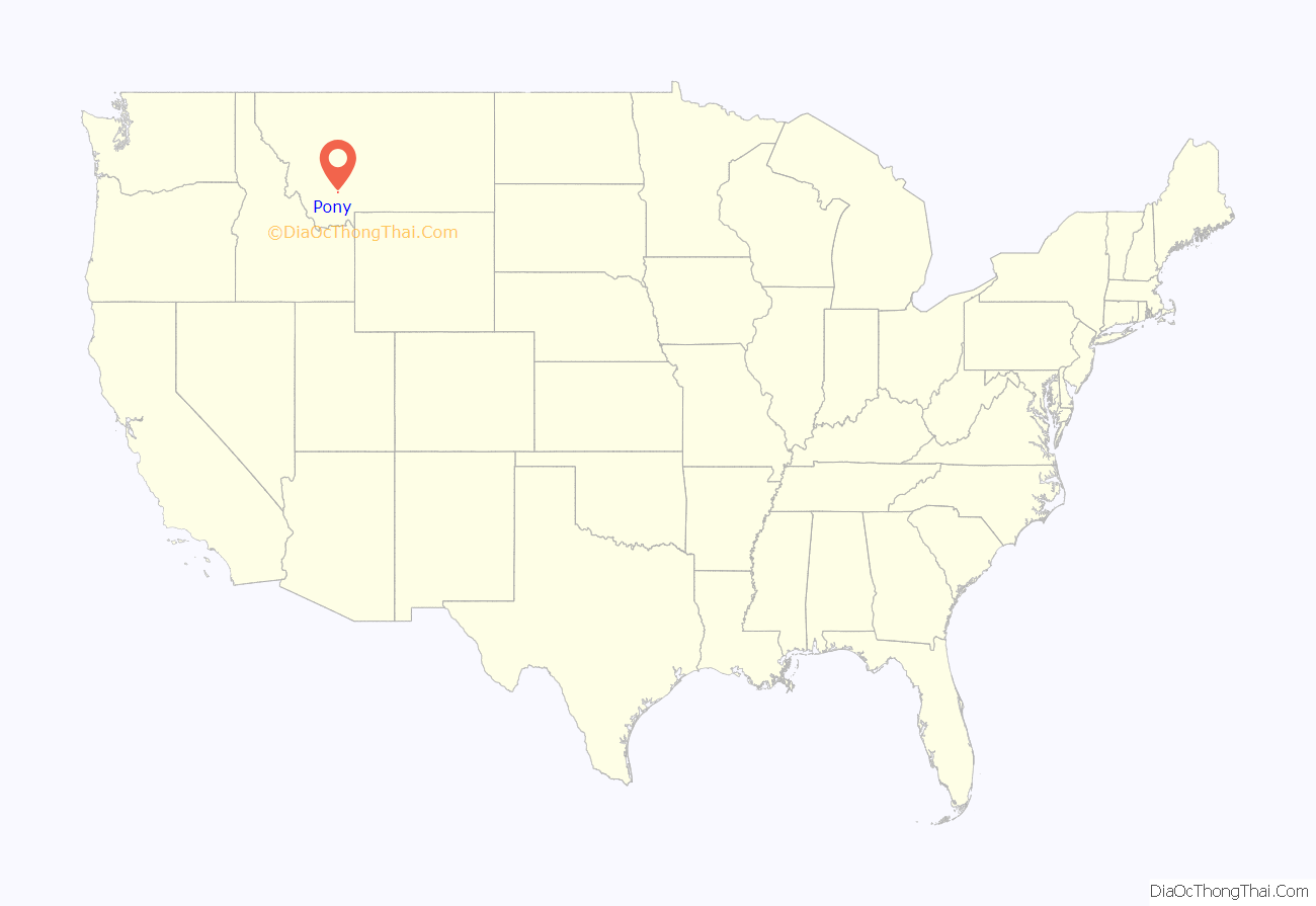
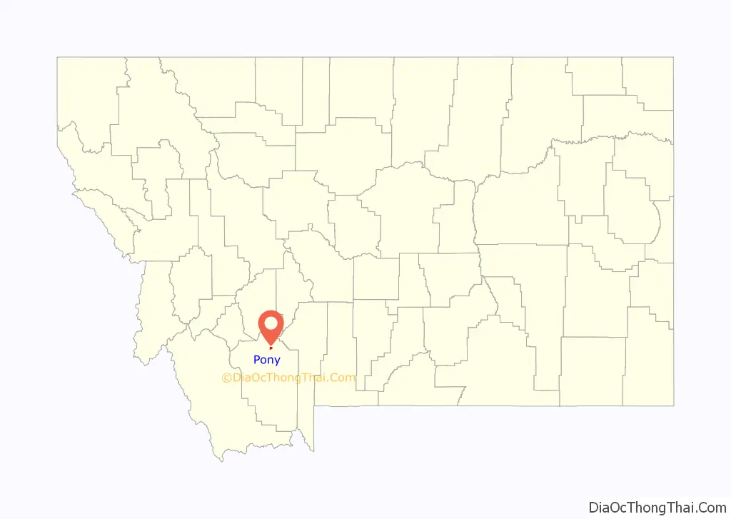
Pony location map. Where is Pony CDP?
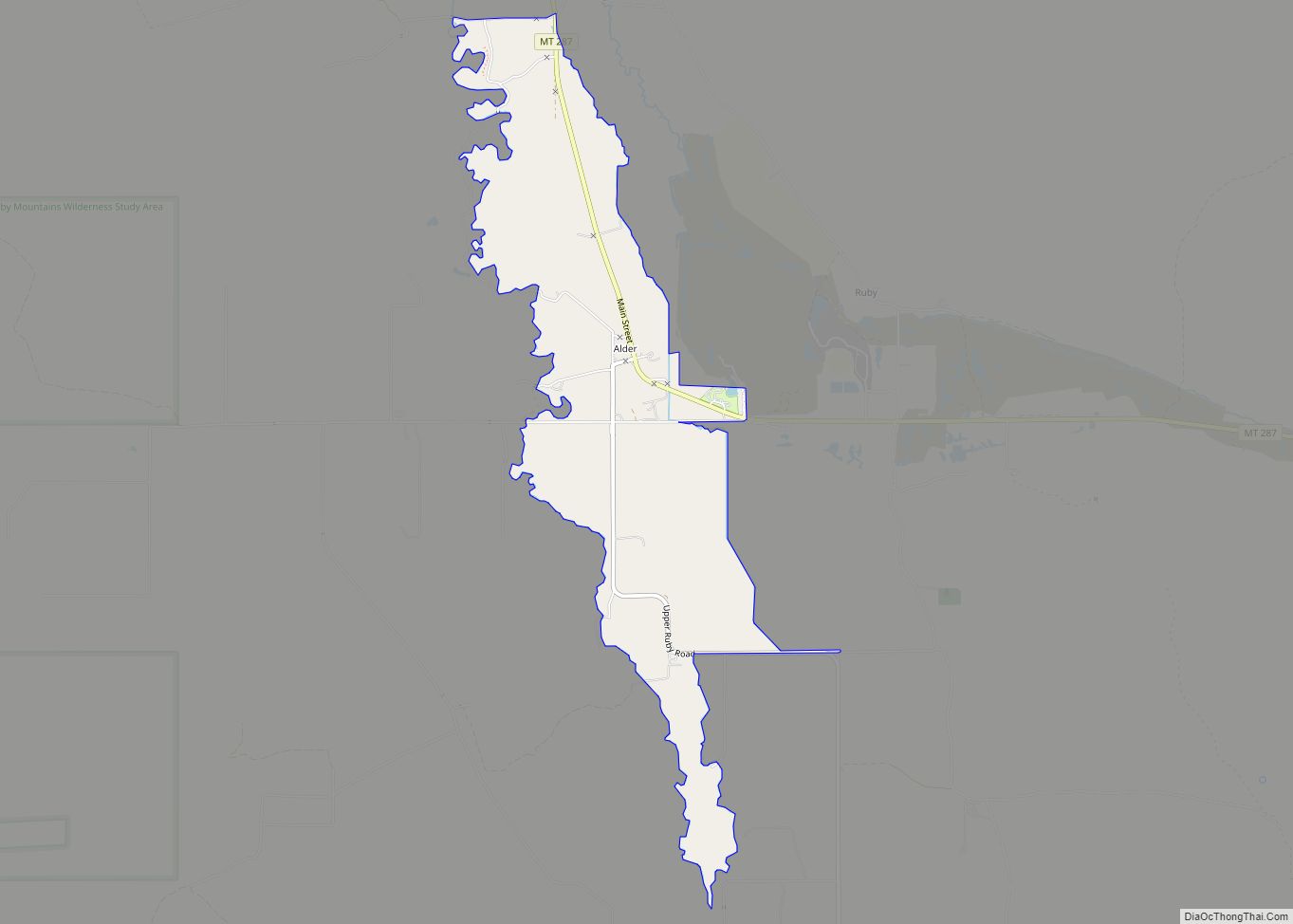
Pony Road Map
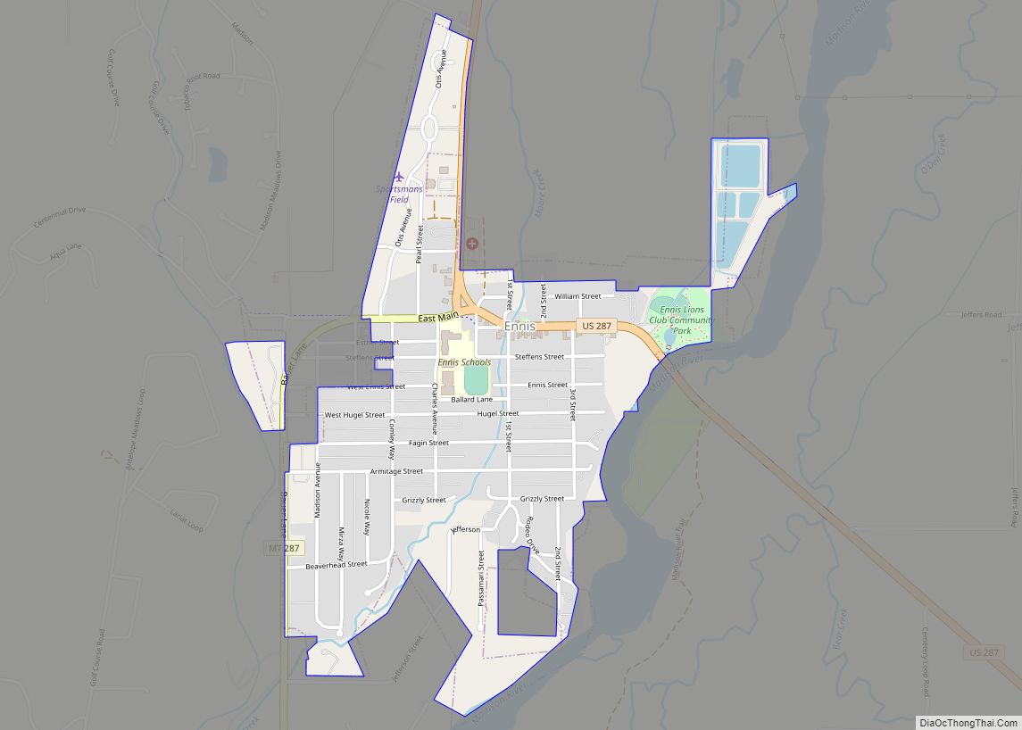
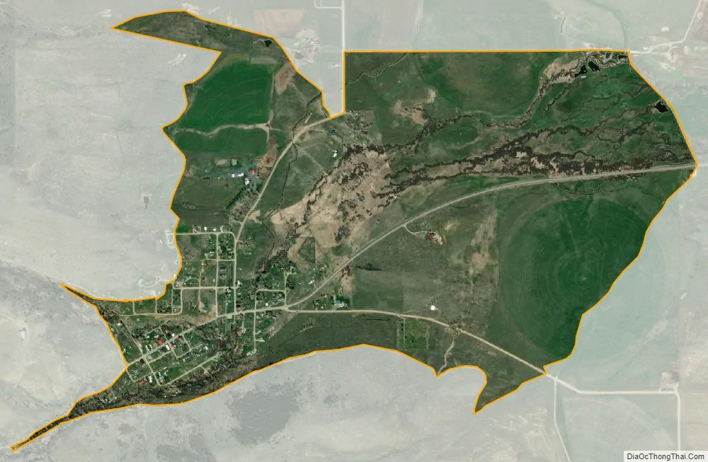
Pony city Satellite Map
See also
Map of Montana State and its subdivision:- Beaverhead
- Big Horn
- Blaine
- Broadwater
- Carbon
- Carter
- Cascade
- Chouteau
- Custer
- Daniels
- Dawson
- Deer Lodge
- Fallon
- Fergus
- Flathead
- Gallatin
- Garfield
- Glacier
- Golden Valley
- Granite
- Hill
- Jefferson
- Judith Basin
- Lake
- Lewis and Clark
- Liberty
- Lincoln
- Madison
- McCone
- Meagher
- Mineral
- Missoula
- Musselshell
- Park
- Petroleum
- Phillips
- Pondera
- Powder River
- Powell
- Prairie
- Ravalli
- Richland
- Roosevelt
- Rosebud
- Sanders
- Sheridan
- Silver Bow
- Stillwater
- Sweet Grass
- Teton
- Toole
- Treasure
- Valley
- Wheatland
- Wibaux
- Yellowstone
- Alabama
- Alaska
- Arizona
- Arkansas
- California
- Colorado
- Connecticut
- Delaware
- District of Columbia
- Florida
- Georgia
- Hawaii
- Idaho
- Illinois
- Indiana
- Iowa
- Kansas
- Kentucky
- Louisiana
- Maine
- Maryland
- Massachusetts
- Michigan
- Minnesota
- Mississippi
- Missouri
- Montana
- Nebraska
- Nevada
- New Hampshire
- New Jersey
- New Mexico
- New York
- North Carolina
- North Dakota
- Ohio
- Oklahoma
- Oregon
- Pennsylvania
- Rhode Island
- South Carolina
- South Dakota
- Tennessee
- Texas
- Utah
- Vermont
- Virginia
- Washington
- West Virginia
- Wisconsin
- Wyoming