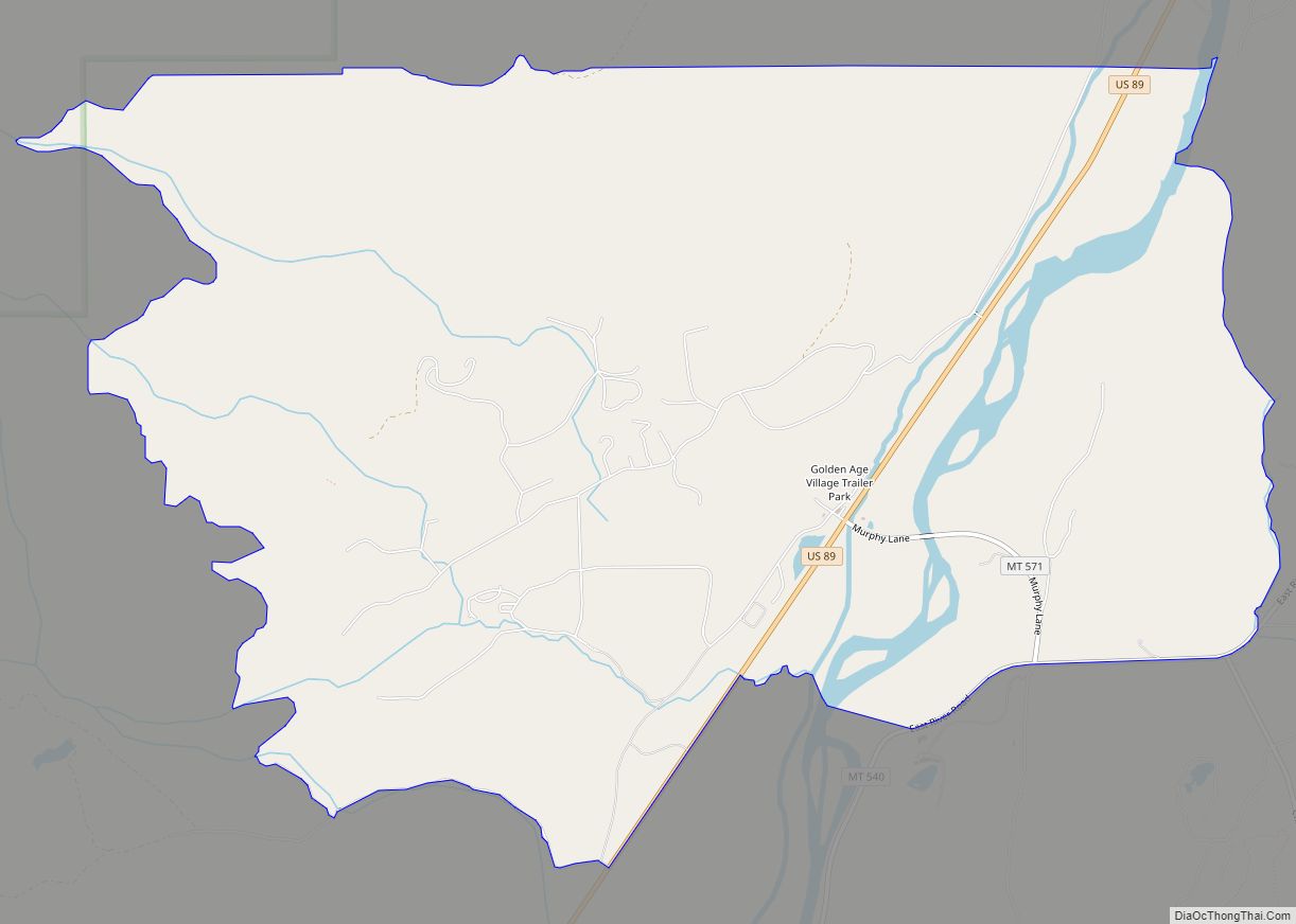
Pray is a census-designated place and unincorporated community in Park County, Montana, United States, in the Paradise Valley. The town was founded in 1907 by Valentine Eggar, an entrepreneur. He named it after Congressman Charles Nelson Pray. Its population was 681 as of the 2010 census. Pray has a post office with ZIP code 59065, which opened on December 8, 1909.
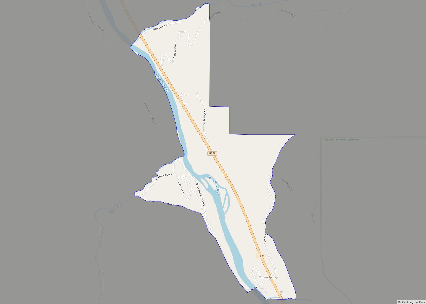
The community is located on Highway 540 (East River Road), on the Yellowstone River. It is 22 miles from Livingston, and 30 miles from Yellowstone National Park. “Pray offers picturesque views of the Absaroka Mountain Range in the Gallatin National Forest.” Chico Hot Springs Resort & Day Spa is located three miles south of the town.
In 2012, the five acres that make up the town of Pray were offered for sale by owner Barbara Walker, a photographer, for $1.4 million. The town “has been privately owned since it was founded.” Walker’s family began running the town in 1953; she became mayor in 2007.
“Being the owner of Pray doesn’t have to be a difficult job,” according to Ms. Walker.
| Name: | Pray CDP |
|---|---|
| LSAD Code: | 57 |
| LSAD Description: | CDP (suffix) |
| State: | Montana |
| County: | Park County |
| Elevation: | 5,003 ft (1,525 m) |
| Total Area: | 29.15 sq mi (75.51 km²) |
| Land Area: | 28.63 sq mi (74.14 km²) |
| Water Area: | 0.53 sq mi (1.37 km²) |
| Total Population: | 790 |
| Population Density: | 27.60/sq mi (10.66/km²) |
| ZIP code: | 59065 |
| Area code: | 406 |
| FIPS code: | 3059725 |
| GNISfeature ID: | 789175 |
| Website: | http://www.praymontana.net/ |
Online Interactive Map
Click on ![]() to view map in "full screen" mode.
to view map in "full screen" mode.
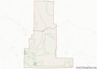
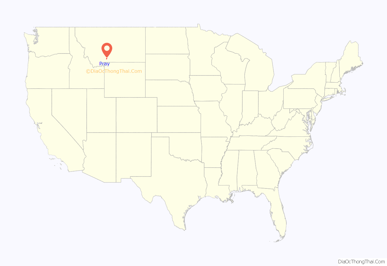
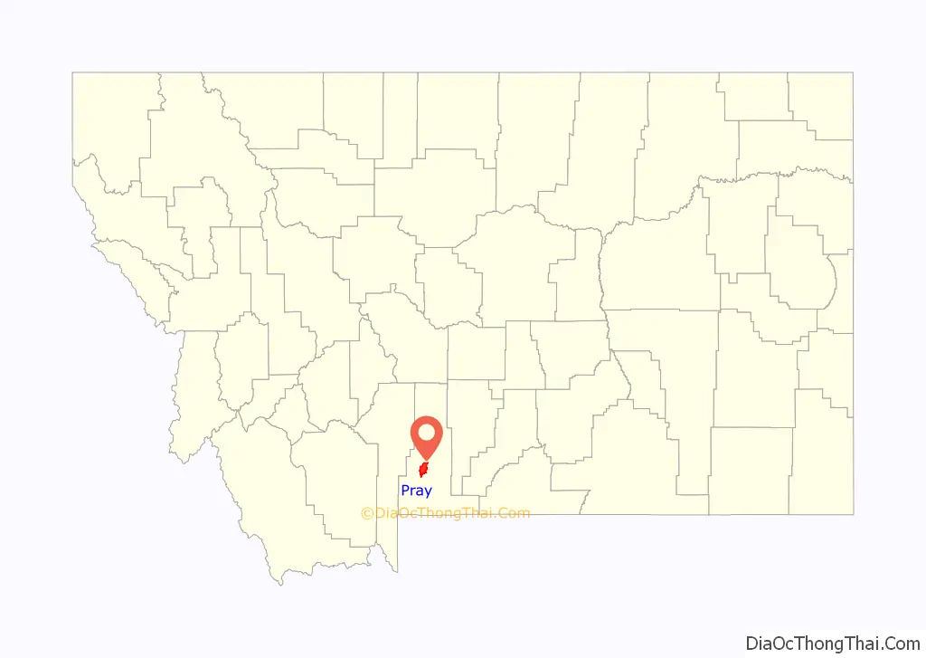
Pray location map. Where is Pray CDP?
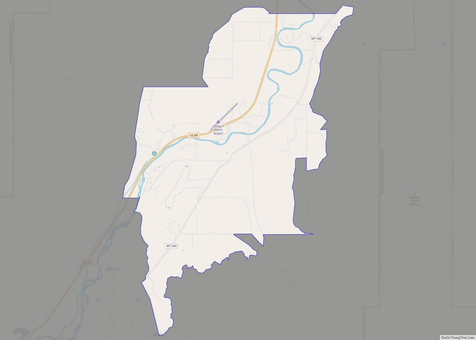
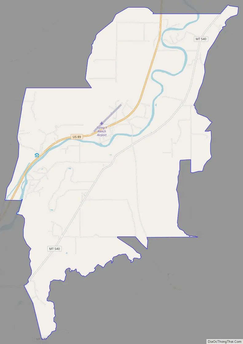
Pray Road Map
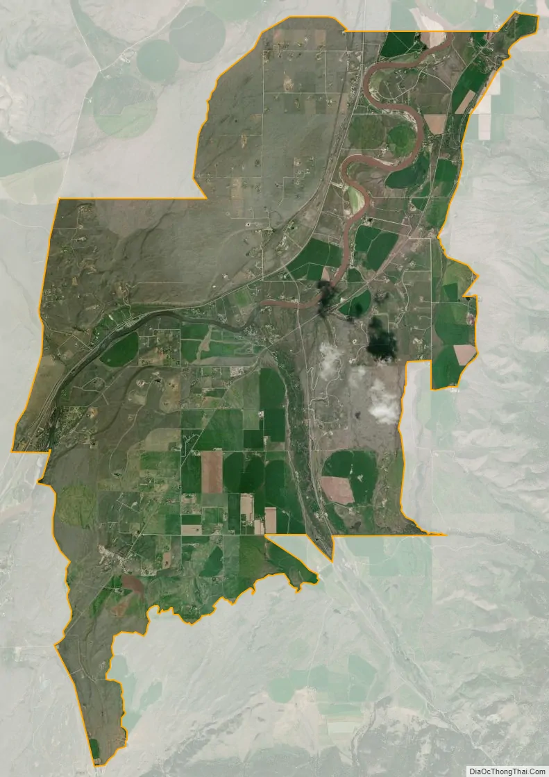
Pray city Satellite Map
See also
Map of Montana State and its subdivision:- Beaverhead
- Big Horn
- Blaine
- Broadwater
- Carbon
- Carter
- Cascade
- Chouteau
- Custer
- Daniels
- Dawson
- Deer Lodge
- Fallon
- Fergus
- Flathead
- Gallatin
- Garfield
- Glacier
- Golden Valley
- Granite
- Hill
- Jefferson
- Judith Basin
- Lake
- Lewis and Clark
- Liberty
- Lincoln
- Madison
- McCone
- Meagher
- Mineral
- Missoula
- Musselshell
- Park
- Petroleum
- Phillips
- Pondera
- Powder River
- Powell
- Prairie
- Ravalli
- Richland
- Roosevelt
- Rosebud
- Sanders
- Sheridan
- Silver Bow
- Stillwater
- Sweet Grass
- Teton
- Toole
- Treasure
- Valley
- Wheatland
- Wibaux
- Yellowstone
- Alabama
- Alaska
- Arizona
- Arkansas
- California
- Colorado
- Connecticut
- Delaware
- District of Columbia
- Florida
- Georgia
- Hawaii
- Idaho
- Illinois
- Indiana
- Iowa
- Kansas
- Kentucky
- Louisiana
- Maine
- Maryland
- Massachusetts
- Michigan
- Minnesota
- Mississippi
- Missouri
- Montana
- Nebraska
- Nevada
- New Hampshire
- New Jersey
- New Mexico
- New York
- North Carolina
- North Dakota
- Ohio
- Oklahoma
- Oregon
- Pennsylvania
- Rhode Island
- South Carolina
- South Dakota
- Tennessee
- Texas
- Utah
- Vermont
- Virginia
- Washington
- West Virginia
- Wisconsin
- Wyoming