Ravalli (Salish: sk̓ʷɫólqʷe, sk̓ʷɫʔó) is an unincorporated community and census-designated place (CDP) in Lake County, Montana, United States. The population was 76 at the 2010 census, down from 119 in 2000. At one time Charlie Allard, the country’s leading expert on breeding bison, owned the country’s largest herd of buffalo in Ravalli.
| Name: | Ravalli CDP |
|---|---|
| LSAD Code: | 57 |
| LSAD Description: | CDP (suffix) |
| State: | Montana |
| County: | Lake County |
| Elevation: | 2,717 ft (828 m) |
| Total Area: | 2.64 sq mi (6.84 km²) |
| Land Area: | 2.63 sq mi (6.81 km²) |
| Water Area: | 0.01 sq mi (0.03 km²) |
| Total Population: | 85 |
| Population Density: | 32.34/sq mi (12.49/km²) |
| ZIP code: | 59863 |
| Area code: | 406 |
| FIPS code: | 3061075 |
| GNISfeature ID: | 0775601 |
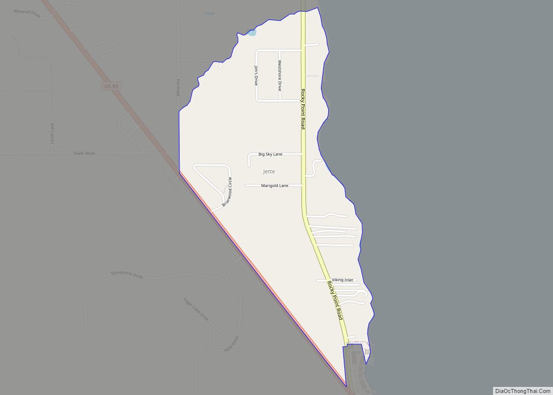
Online Interactive Map
Click on ![]() to view map in "full screen" mode.
to view map in "full screen" mode.
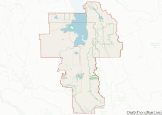
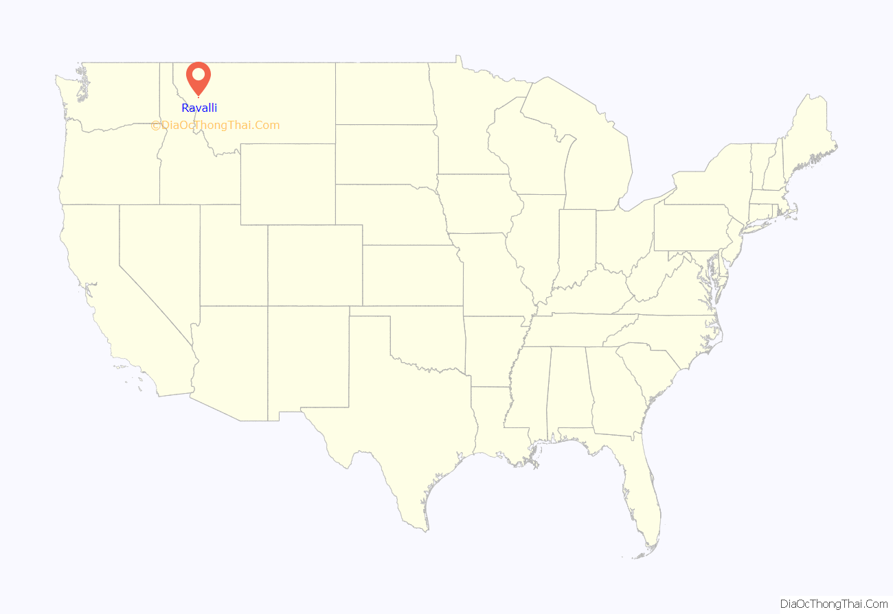
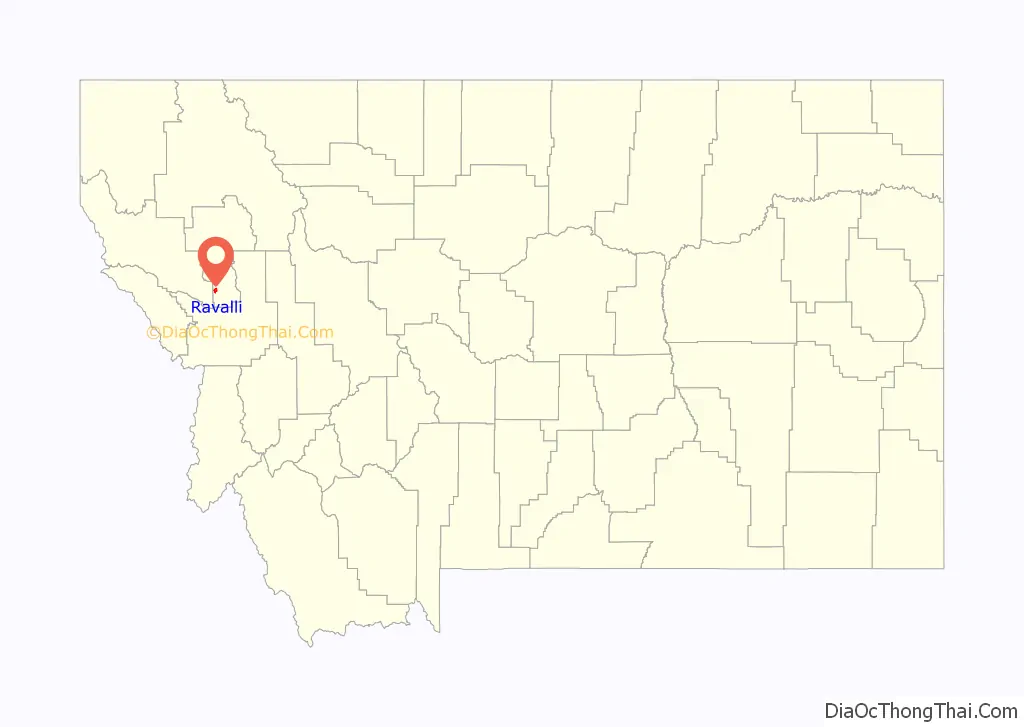
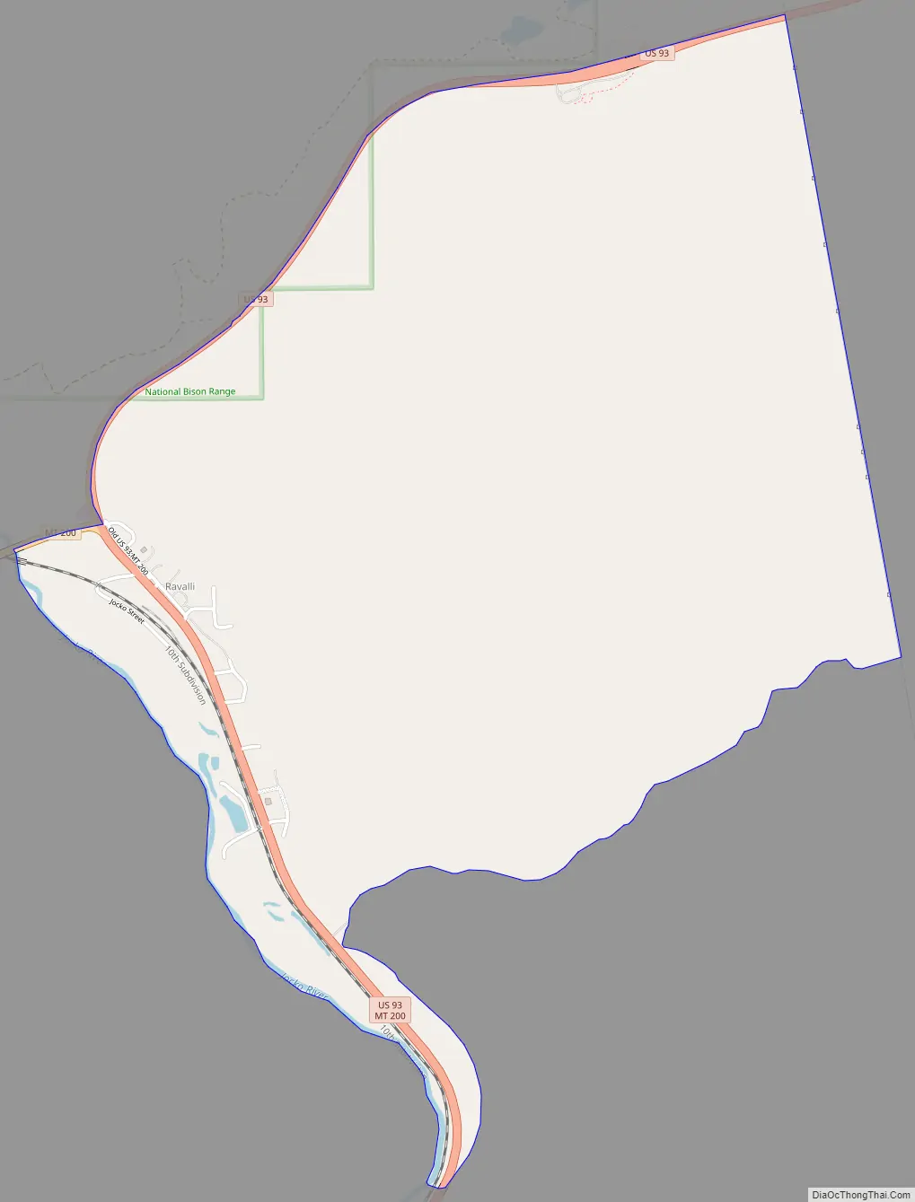
Ravalli location map. Where is Ravalli CDP?
History
A post office called Ravalli was established in 1887 and remained in operation until 1983. The community was named for Antonio Ravalli, a Jesuit missionary to the Indians.
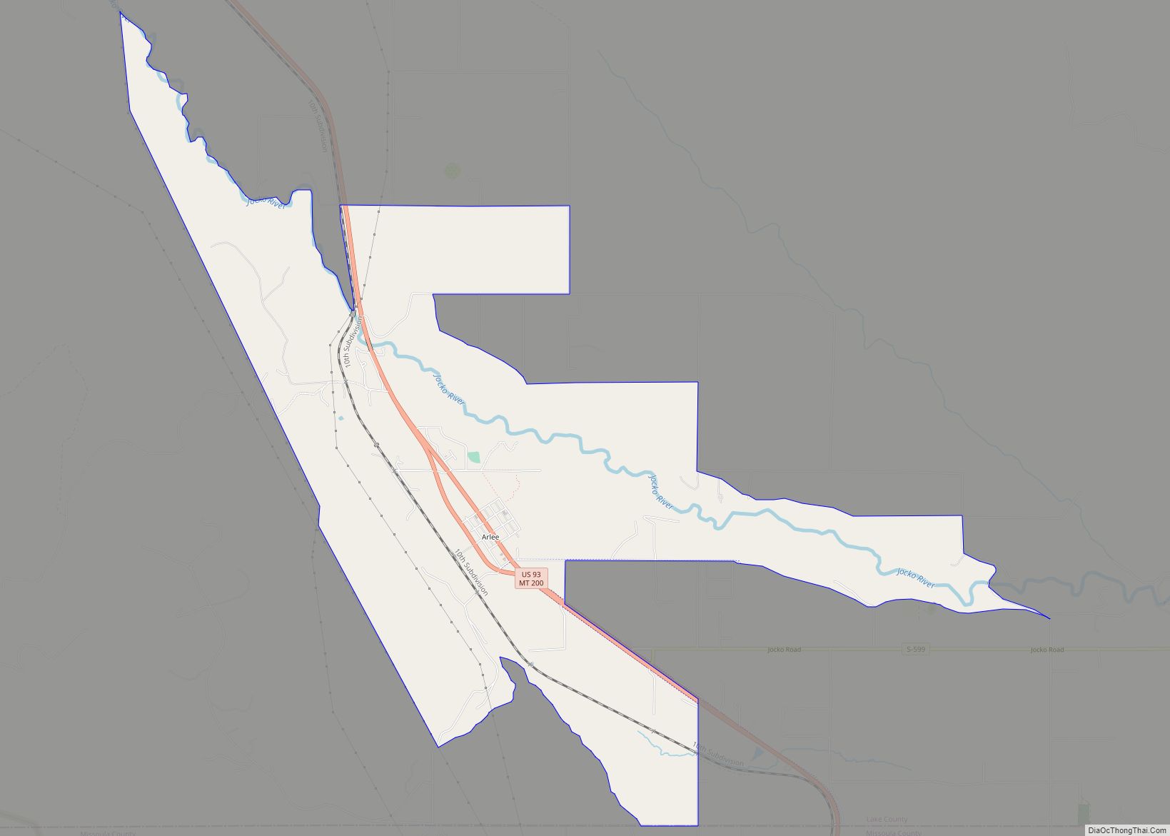
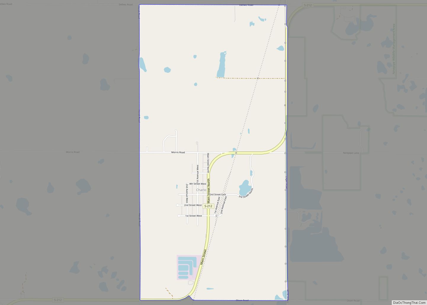
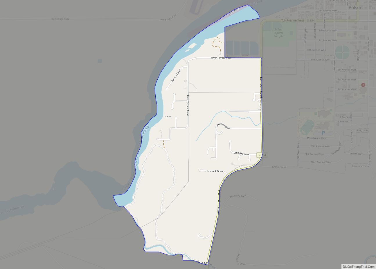
Ravalli Road Map
Ravalli city Satellite Map

Geography
Ravalli is located in southern Lake County at 47°16′25″N 114°10′42″W / 47.27361°N 114.17833°W / 47.27361; -114.17833 (47.273710, -114.178334), at the junction of U.S. Route 93 and Montana Highway 200, at the bottom of a big hill near the Bison Range. US 93 leads north 33 miles (53 km) to Polson, the Lake county seat, and south 36 miles (58 km) to Missoula. MT 200 leads west 7 miles (11 km) to Dixon.
According to the United States Census Bureau, the CDP has a total area of 2.6 square miles (6.8 km), of which 0.01 square miles (0.03 km), or 0.42%, are water. The community is in the valley of the Jocko River, which flows northwest to the Flathead River at Dixon.
Climate
This climatic region is typified by large seasonal temperature differences, with warm to hot (and often humid) summers and cold (sometimes severely cold) winters. According to the Köppen Climate Classification system, Ravalli has a humid continental climate, abbreviated “Dfb” on climate maps.
See also
Map of Montana State and its subdivision:- Beaverhead
- Big Horn
- Blaine
- Broadwater
- Carbon
- Carter
- Cascade
- Chouteau
- Custer
- Daniels
- Dawson
- Deer Lodge
- Fallon
- Fergus
- Flathead
- Gallatin
- Garfield
- Glacier
- Golden Valley
- Granite
- Hill
- Jefferson
- Judith Basin
- Lake
- Lewis and Clark
- Liberty
- Lincoln
- Madison
- McCone
- Meagher
- Mineral
- Missoula
- Musselshell
- Park
- Petroleum
- Phillips
- Pondera
- Powder River
- Powell
- Prairie
- Ravalli
- Richland
- Roosevelt
- Rosebud
- Sanders
- Sheridan
- Silver Bow
- Stillwater
- Sweet Grass
- Teton
- Toole
- Treasure
- Valley
- Wheatland
- Wibaux
- Yellowstone
- Alabama
- Alaska
- Arizona
- Arkansas
- California
- Colorado
- Connecticut
- Delaware
- District of Columbia
- Florida
- Georgia
- Hawaii
- Idaho
- Illinois
- Indiana
- Iowa
- Kansas
- Kentucky
- Louisiana
- Maine
- Maryland
- Massachusetts
- Michigan
- Minnesota
- Mississippi
- Missouri
- Montana
- Nebraska
- Nevada
- New Hampshire
- New Jersey
- New Mexico
- New York
- North Carolina
- North Dakota
- Ohio
- Oklahoma
- Oregon
- Pennsylvania
- Rhode Island
- South Carolina
- South Dakota
- Tennessee
- Texas
- Utah
- Vermont
- Virginia
- Washington
- West Virginia
- Wisconsin
- Wyoming