Rollins is an unincorporated community and census-designated place (CDP) in Lake County, Montana, United States. The population was 209 at the 2010 census, up from 183 in 2000.
The community began in the 1880s as Bay View. It was renamed when the post office was opened in 1904.
| Name: | Rollins CDP |
|---|---|
| LSAD Code: | 57 |
| LSAD Description: | CDP (suffix) |
| State: | Montana |
| County: | Lake County |
| Elevation: | 2,940 ft (900 m) |
| Total Area: | 2.87 sq mi (7.44 km²) |
| Land Area: | 2.87 sq mi (7.44 km²) |
| Water Area: | 0.00 sq mi (0.00 km²) |
| Total Population: | 192 |
| Population Density: | 66.83/sq mi (25.80/km²) |
| ZIP code: | 59931 |
| Area code: | 406 |
| FIPS code: | 3064075 |
| GNISfeature ID: | 0789750 |
Online Interactive Map
Click on ![]() to view map in "full screen" mode.
to view map in "full screen" mode.
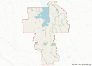
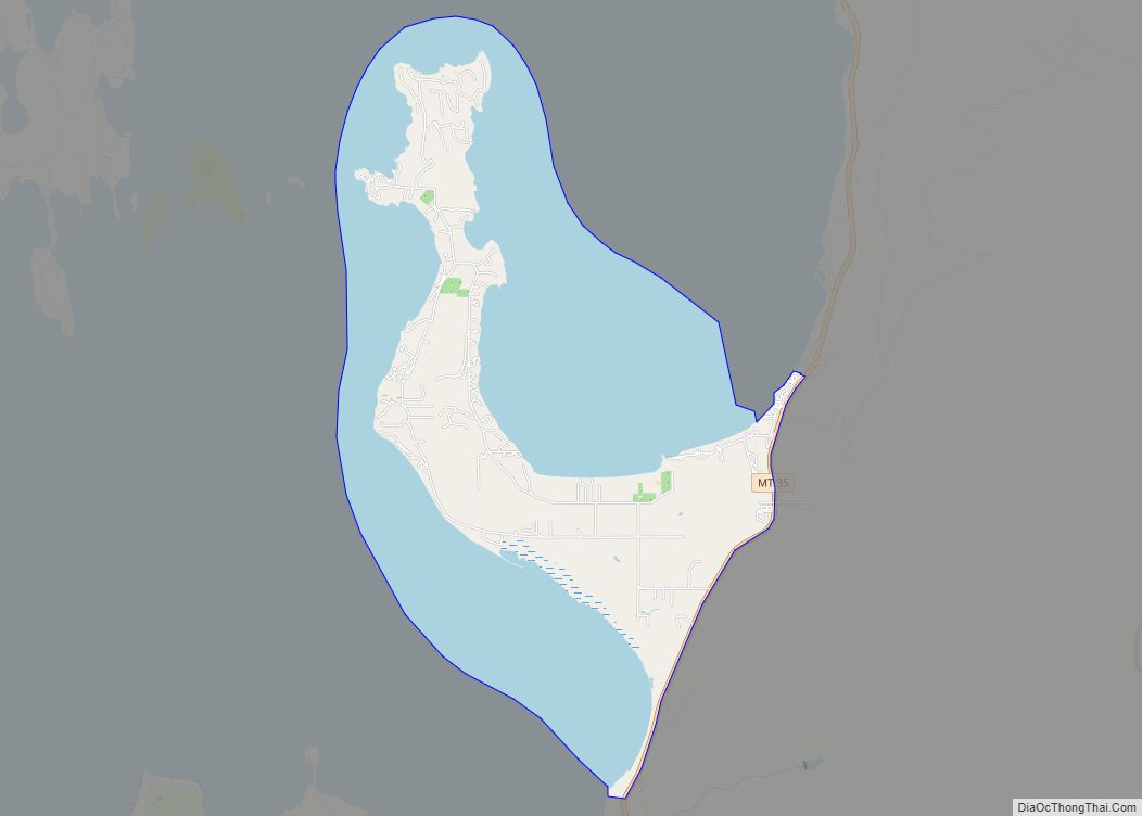
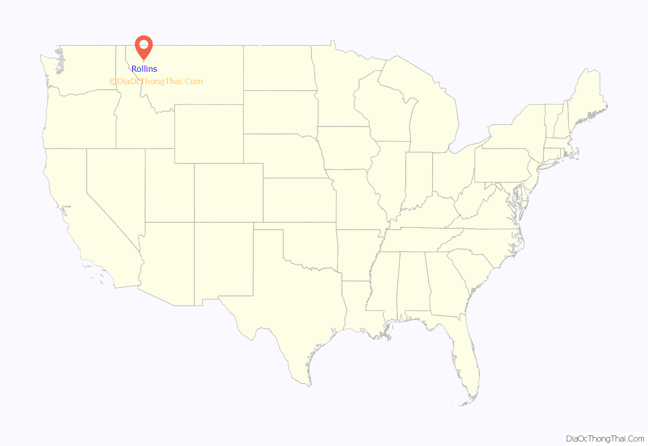
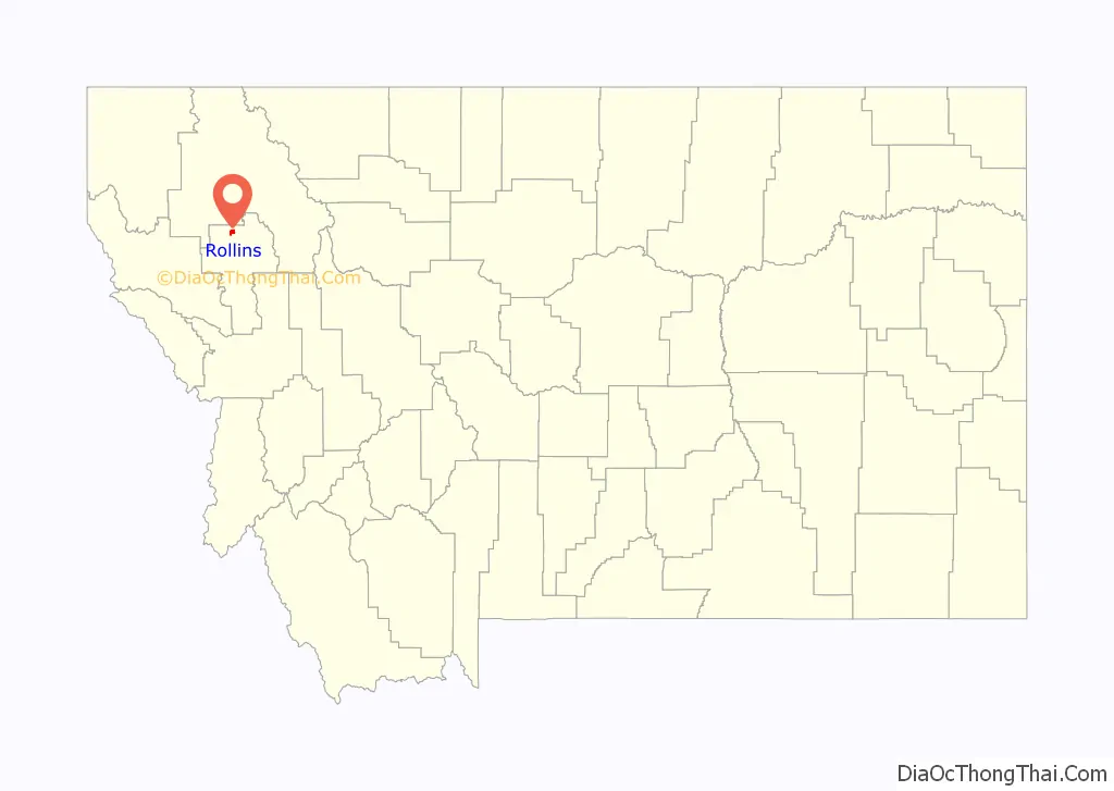
Rollins location map. Where is Rollins CDP?
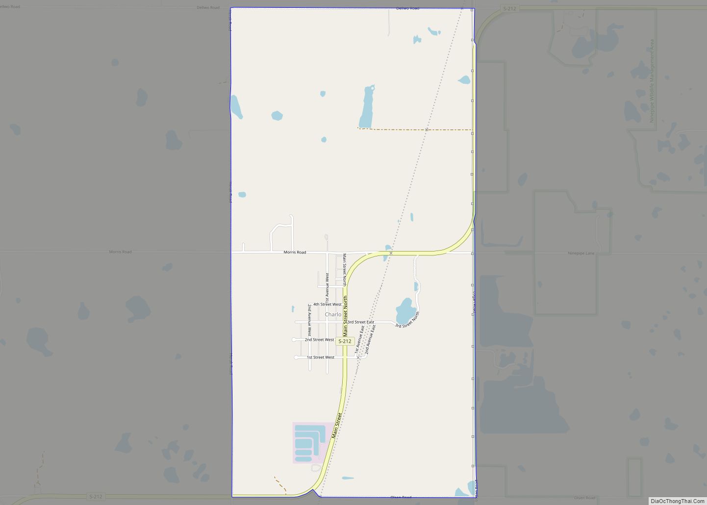
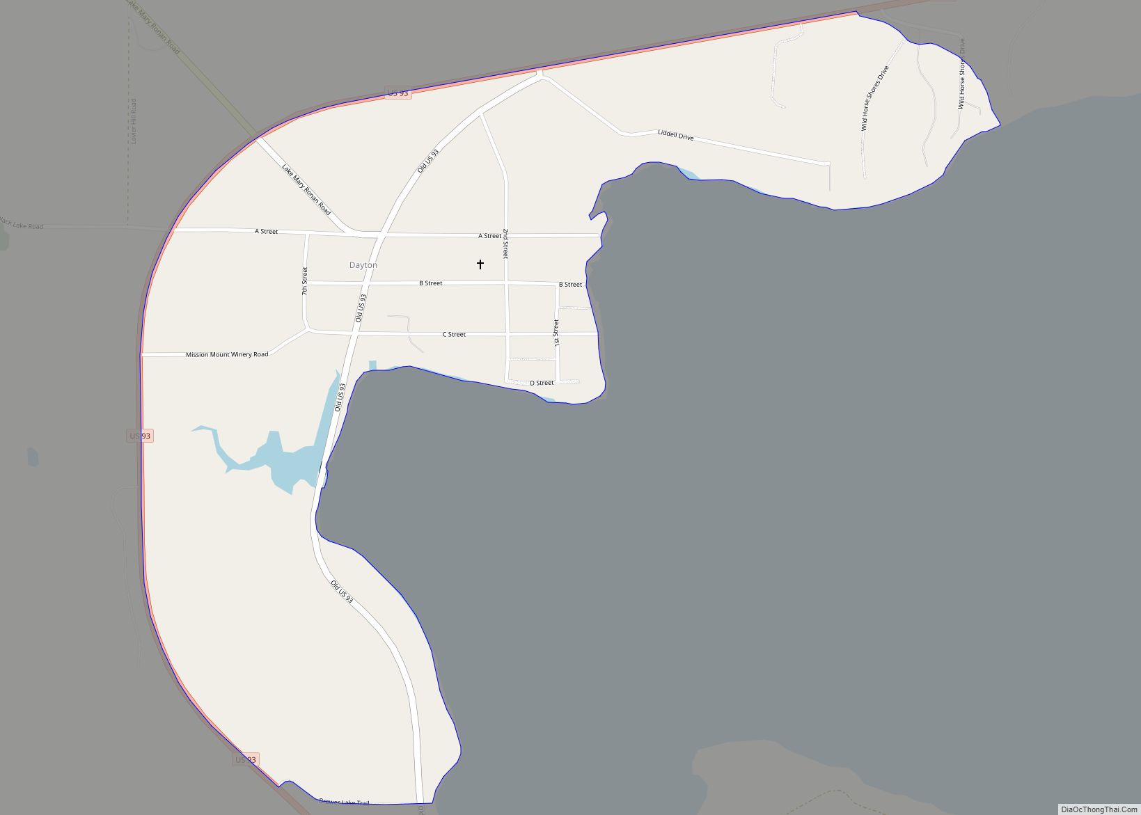
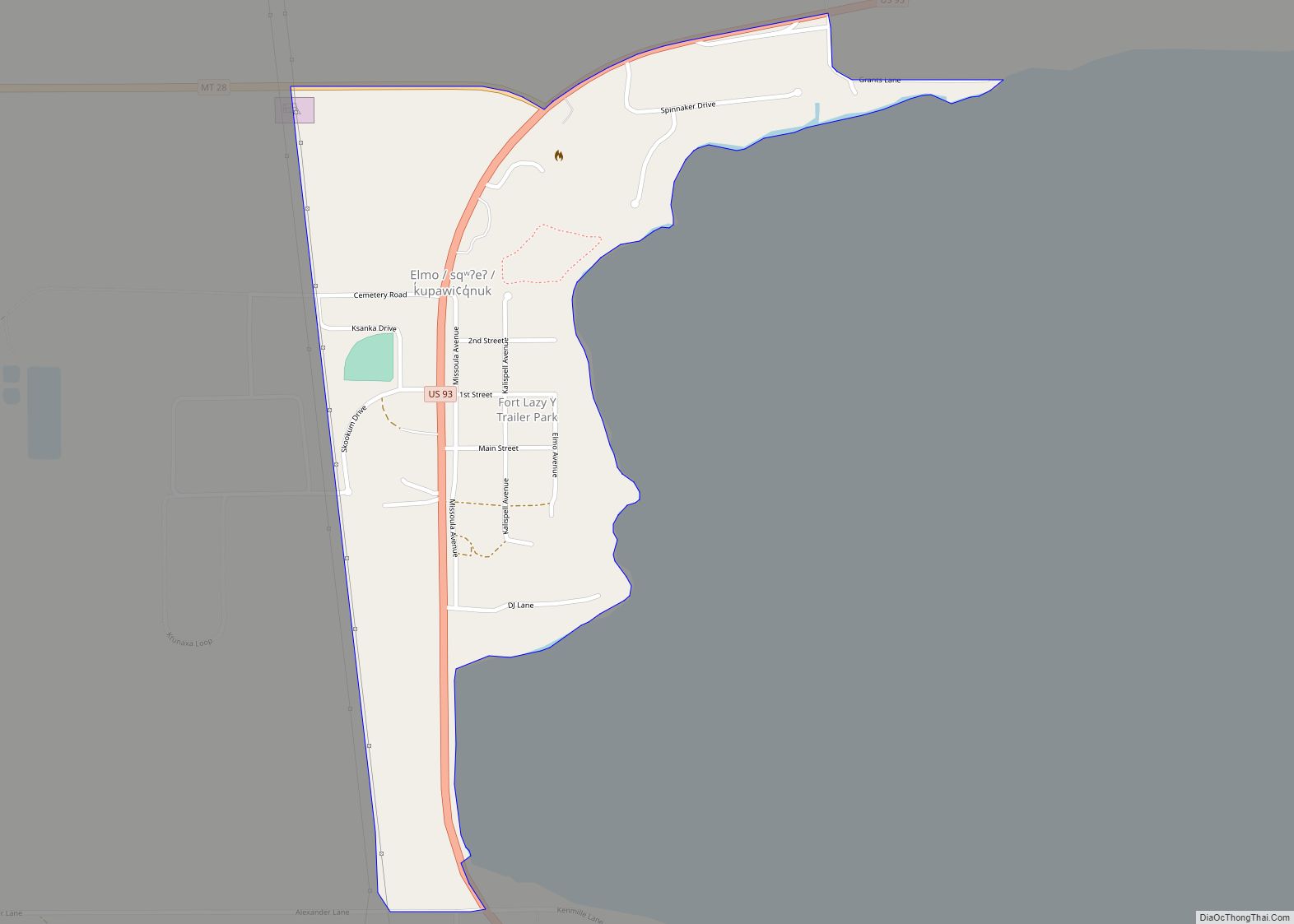
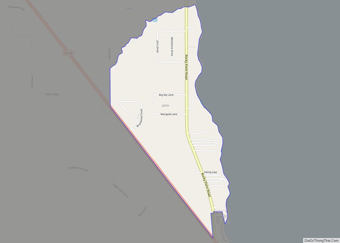
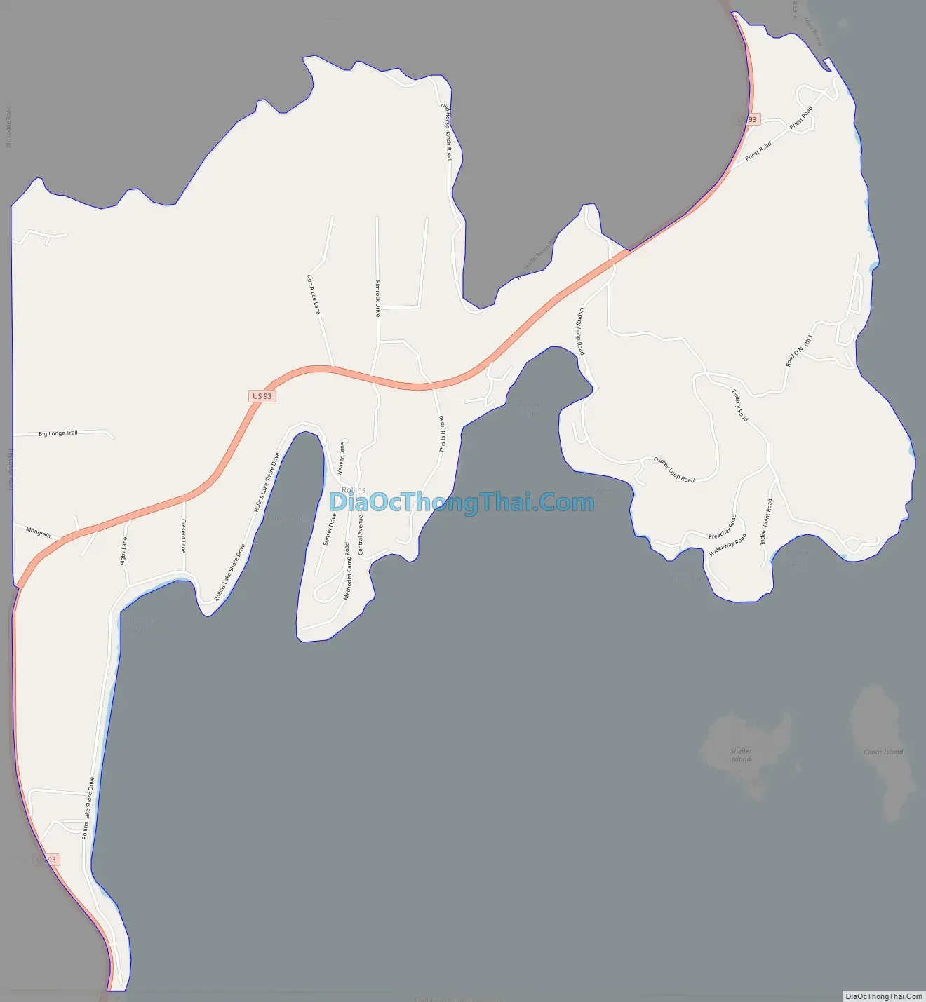
Rollins Road Map
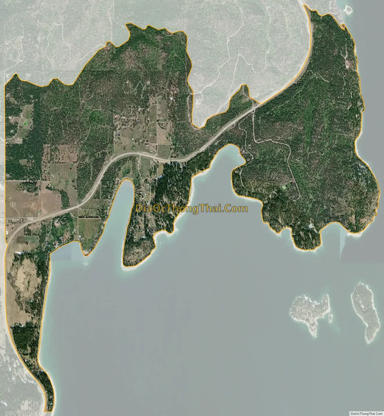
Rollins city Satellite Map
Geography
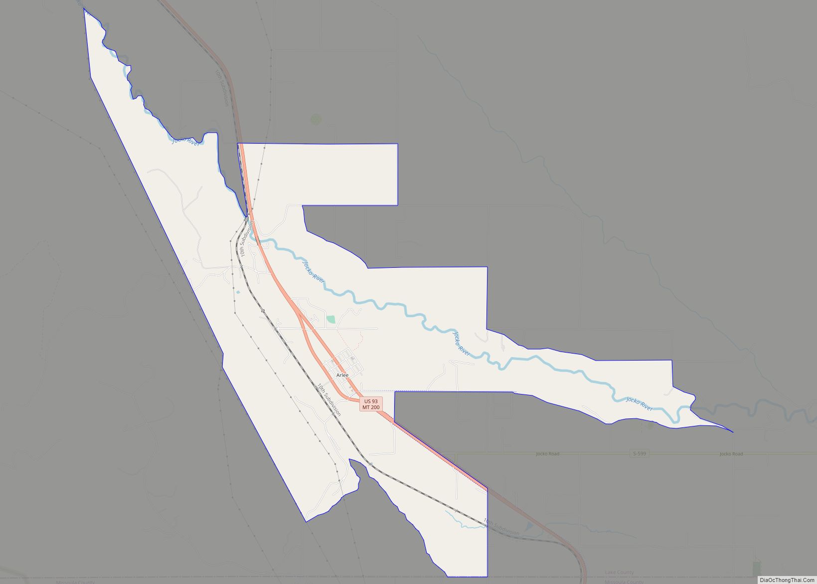
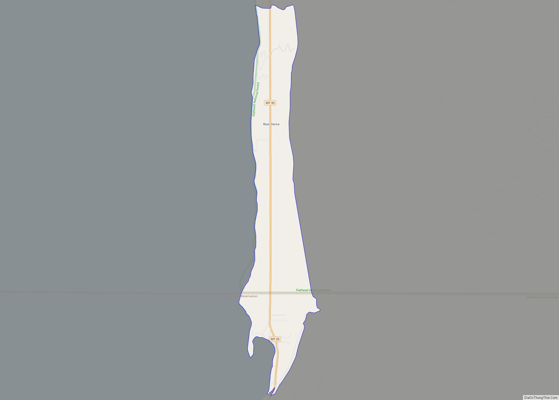
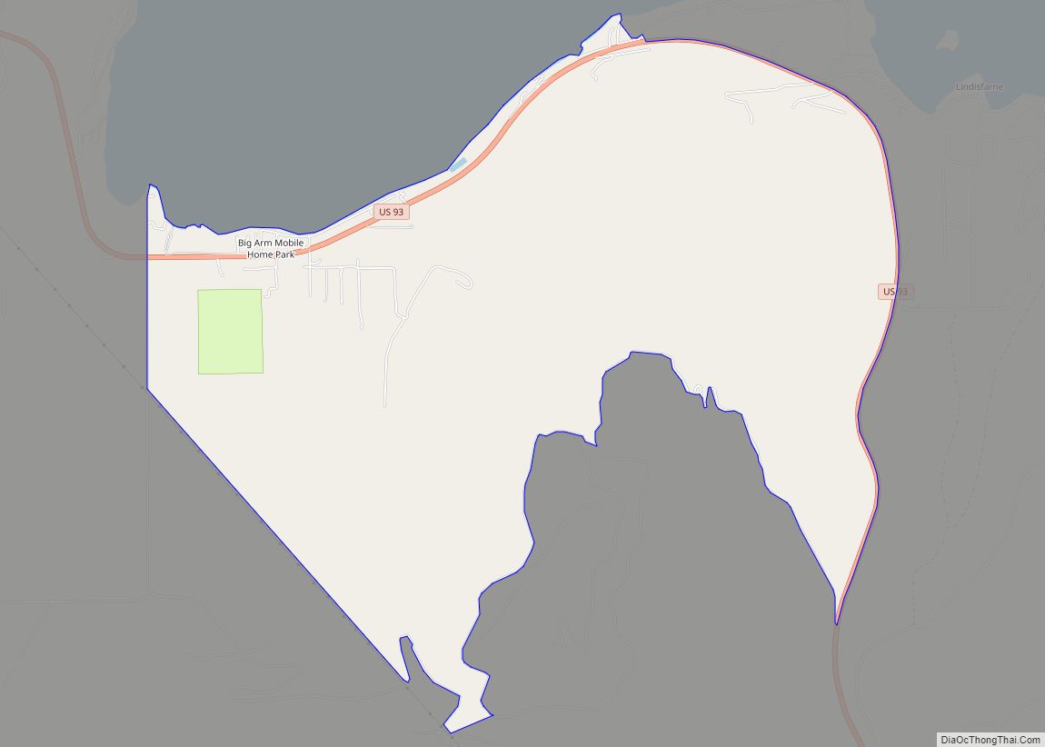
The town is just north of the Flathead Indian Reservation on the west shore of Flathead Lake.
Rollins is located in northern Lake County at 47°54′28″N 114°11′43″W / 47.90778°N 114.19528°W / 47.90778; -114.19528 (47.907804, -114.195343), along the west side of Flathead Lake. Topographic features along the lakeshore of Rollins include, from south to north, Crescent Bay, Canal Bay, Sessions Point, Deweys Bay, Bennetts Bay, Hyde Bay, Zelezny Bay, and Painted Rocks.
U.S. Route 93 runs through Rollins, leading north 23 miles (37 km) to Kalispell and south 28 miles (45 km) to Polson, the Lake county seat.
According to the United States Census Bureau, the Rollins CDP has a total area of 2.9 square miles (7.5 km), all land.
Climate
This climatic region is typified by large seasonal temperature differences, with warm to hot (and often humid) summers and cold (sometimes severely cold) winters. According to the Köppen Climate Classification system, Rollins has a humid continental climate, abbreviated “Dfb” on climate maps.
See also
Map of Montana State and its subdivision:- Beaverhead
- Big Horn
- Blaine
- Broadwater
- Carbon
- Carter
- Cascade
- Chouteau
- Custer
- Daniels
- Dawson
- Deer Lodge
- Fallon
- Fergus
- Flathead
- Gallatin
- Garfield
- Glacier
- Golden Valley
- Granite
- Hill
- Jefferson
- Judith Basin
- Lake
- Lewis and Clark
- Liberty
- Lincoln
- Madison
- McCone
- Meagher
- Mineral
- Missoula
- Musselshell
- Park
- Petroleum
- Phillips
- Pondera
- Powder River
- Powell
- Prairie
- Ravalli
- Richland
- Roosevelt
- Rosebud
- Sanders
- Sheridan
- Silver Bow
- Stillwater
- Sweet Grass
- Teton
- Toole
- Treasure
- Valley
- Wheatland
- Wibaux
- Yellowstone
- Alabama
- Alaska
- Arizona
- Arkansas
- California
- Colorado
- Connecticut
- Delaware
- District of Columbia
- Florida
- Georgia
- Hawaii
- Idaho
- Illinois
- Indiana
- Iowa
- Kansas
- Kentucky
- Louisiana
- Maine
- Maryland
- Massachusetts
- Michigan
- Minnesota
- Mississippi
- Missouri
- Montana
- Nebraska
- Nevada
- New Hampshire
- New Jersey
- New Mexico
- New York
- North Carolina
- North Dakota
- Ohio
- Oklahoma
- Oregon
- Pennsylvania
- Rhode Island
- South Carolina
- South Dakota
- Tennessee
- Texas
- Utah
- Vermont
- Virginia
- Washington
- West Virginia
- Wisconsin
- Wyoming