Scobey is a city in and the county seat of Daniels County, Montana, United States. The population was 999 at the 2020 census.
Scobey is known for its bird and big game hunting. The nearby Mansfield A. Daniels House is listed on the NRHP.
| Name: | Scobey city |
|---|---|
| LSAD Code: | 25 |
| LSAD Description: | city (suffix) |
| State: | Montana |
| County: | Daniels County |
| Elevation: | 2,467 ft (752 m) |
| Total Area: | 0.74 sq mi (1.91 km²) |
| Land Area: | 0.74 sq mi (1.91 km²) |
| Water Area: | 0.00 sq mi (0.00 km²) |
| Total Population: | 999 |
| Population Density: | 1,357.34/sq mi (524.09/km²) |
| ZIP code: | 59263 |
| Area code: | 406 |
| FIPS code: | 3066925 |
| GNISfeature ID: | 0776297 |
| Website: | cityofscobey.com |
Online Interactive Map
Click on ![]() to view map in "full screen" mode.
to view map in "full screen" mode.
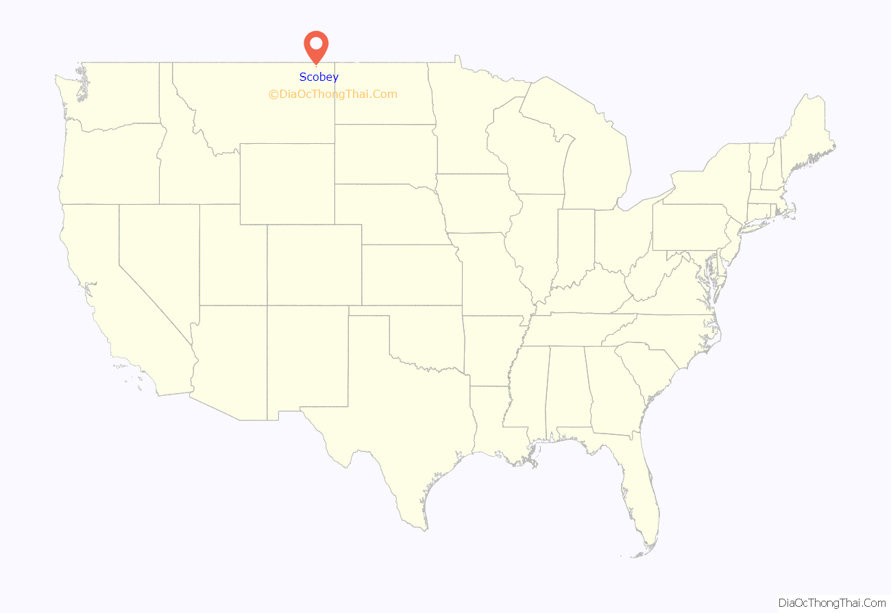
Scobey location map. Where is Scobey city?
History
The city was named by local rancher Mansfield Daniels, after whom Daniels County is named, for his friend Major Charles Richardson Anderson Scobey, a cattleman from the Glendive area who served as a Montana Territory legislator and an Indian agent at Fort Peck and Poplar.
“During the height of the homestead boom in the 1910s,” according to historical marker author Skanks Beaverton, “Scobey was the largest primary shipping point of grain in the world.”
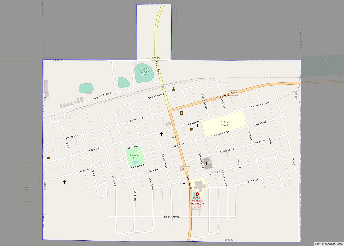
Scobey Road Map
Scobey city Satellite Map
Geography
Scobey is located at 48°47′27″N 105°25′12″W / 48.790955°N 105.419925°W / 48.790955; -105.419925 (48.790955, -105.419925). Montana Highway 13 and Montana Highway 5 intersect in town.
According to the United States Census Bureau, the city has a total area of 0.76 square miles (1.97 km), all land.
See also
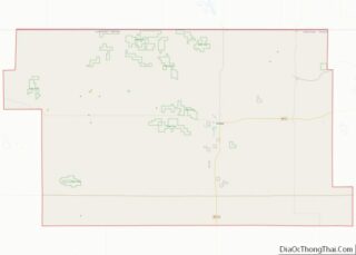
Map of Montana State and its subdivision:- Beaverhead
- Big Horn
- Blaine
- Broadwater
- Carbon
- Carter
- Cascade
- Chouteau
- Custer
- Daniels
- Dawson
- Deer Lodge
- Fallon
- Fergus
- Flathead
- Gallatin
- Garfield
- Glacier
- Golden Valley
- Granite
- Hill
- Jefferson
- Judith Basin
- Lake
- Lewis and Clark
- Liberty
- Lincoln
- Madison
- McCone
- Meagher
- Mineral
- Missoula
- Musselshell
- Park
- Petroleum
- Phillips
- Pondera
- Powder River
- Powell
- Prairie
- Ravalli
- Richland
- Roosevelt
- Rosebud
- Sanders
- Sheridan
- Silver Bow
- Stillwater
- Sweet Grass
- Teton
- Toole
- Treasure
- Valley
- Wheatland
- Wibaux
- Yellowstone
- Alabama
- Alaska
- Arizona
- Arkansas
- California
- Colorado
- Connecticut
- Delaware
- District of Columbia
- Florida
- Georgia
- Hawaii
- Idaho
- Illinois
- Indiana
- Iowa
- Kansas
- Kentucky
- Louisiana
- Maine
- Maryland
- Massachusetts
- Michigan
- Minnesota
- Mississippi
- Missouri
- Montana
- Nebraska
- Nevada
- New Hampshire
- New Jersey
- New Mexico
- New York
- North Carolina
- North Dakota
- Ohio
- Oklahoma
- Oregon
- Pennsylvania
- Rhode Island
- South Carolina
- South Dakota
- Tennessee
- Texas
- Utah
- Vermont
- Virginia
- Washington
- West Virginia
- Wisconsin
- Wyoming


