Seeley Lake is a census-designated place (CDP) in Missoula County, Montana, United States. It is part of the ‘Missoula, Montana Metropolitan Statistical Area’. The town sits beside the 1,031.5 acres lake Seeley Lake. The population was 1,659 at the 2010 census, an increase from its population of 1,436 in 2000.
The community of Seeley Lake is named for Jasper B. Seely who built a cabin on what was in 1881 known as Clearwater Lake. Seely served as the first ranger on the Lewis and Clarke Forest Reserve. The first road to Seeley Lake came in 1895.
| Name: | Seeley Lake CDP |
|---|---|
| LSAD Code: | 57 |
| LSAD Description: | CDP (suffix) |
| State: | Montana |
| County: | Missoula County |
| Elevation: | 4,019 ft (1,225 m) |
| Total Area: | 13.13 sq mi (34.00 km²) |
| Land Area: | 12.26 sq mi (31.75 km²) |
| Water Area: | 0.87 sq mi (2.25 km²) |
| Total Population: | 1,682 |
| Population Density: | 137.21/sq mi (52.97/km²) |
| ZIP code: | 59868 |
| Area code: | 406 |
| FIPS code: | 3067150 |
| GNISfeature ID: | 0799011 |
Online Interactive Map
Click on ![]() to view map in "full screen" mode.
to view map in "full screen" mode.
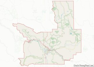
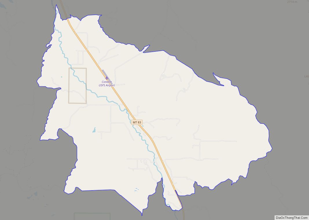
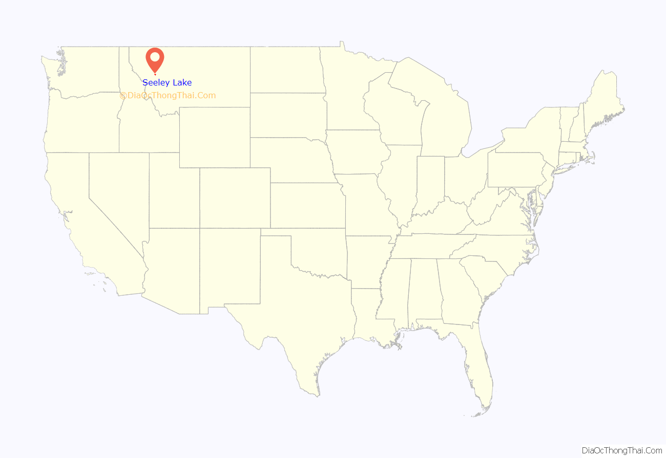
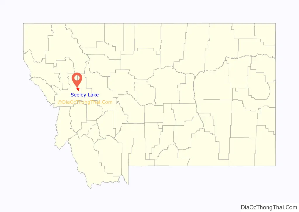
Seeley Lake location map. Where is Seeley Lake CDP?
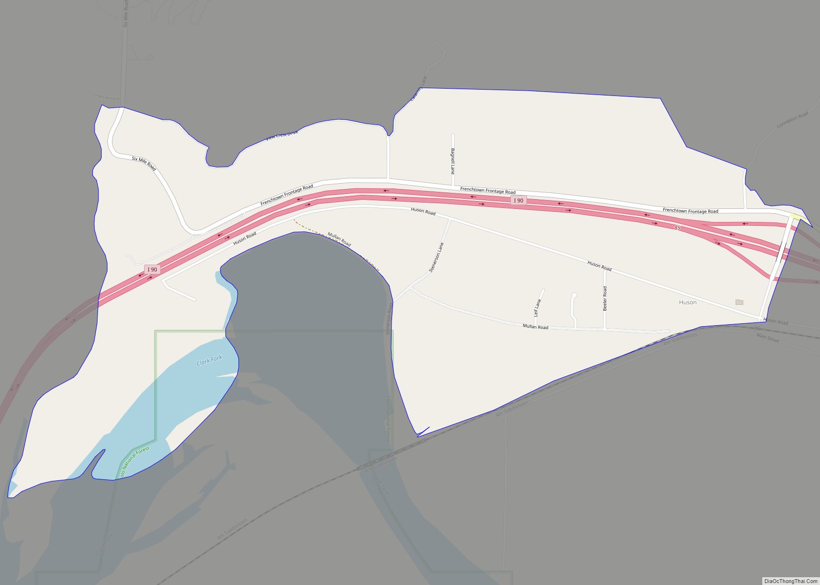
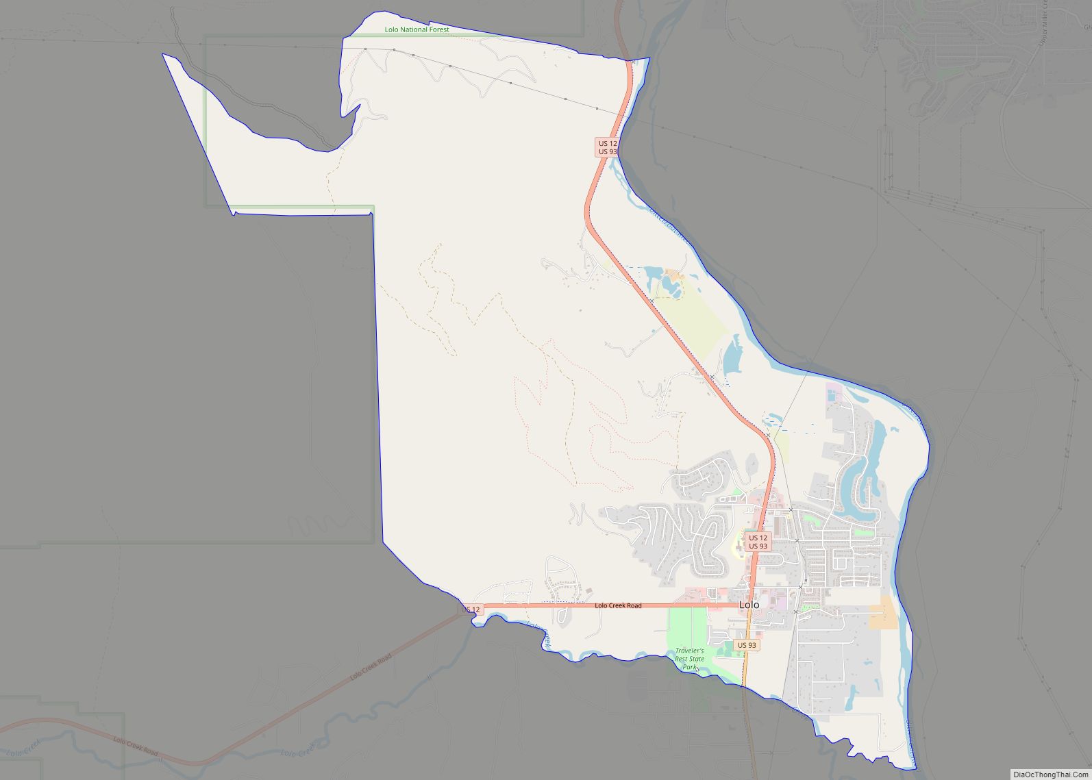
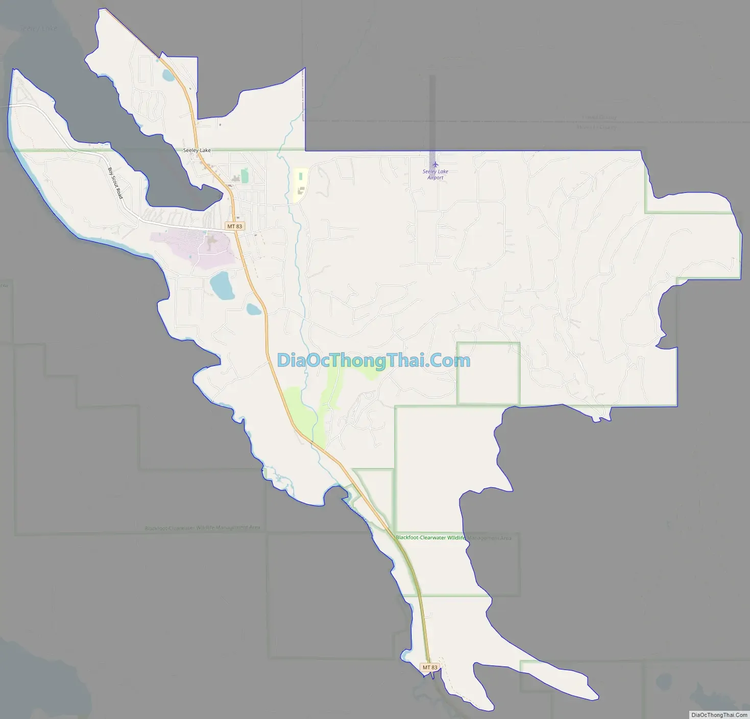
Seeley Lake Road Map
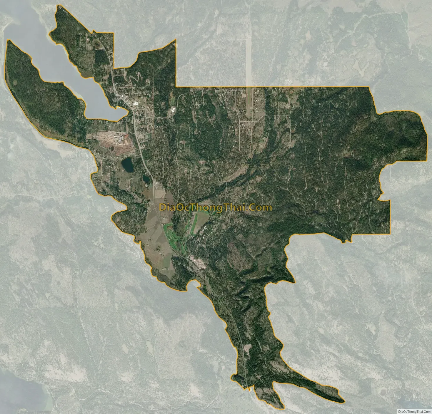
Seeley Lake city Satellite Map
Geography
Seeley Lake is located at 47°10′1″N 113°28′1″W / 47.16694°N 113.46694°W / 47.16694; -113.46694 (47.166892, -113.466817).
According to the United States Census Bureau, the CDP has a total area of 11.0 square miles (28 km), of which 10.9 square miles (28 km) is land and 0.2 square miles (0.52 km) (1.36%) is water.
Climate
According to the Köppen Climate Classification system, Seeley Lake has a warm-summer humid continental climate, abbreviated “Dfb” on climate maps. The hottest temperature recorded in Seeley Lake was 102 °F (38.9 °C) on July 7, 2007, while the coldest temperature recorded was −53 °F (−47.2 °C) on January 7, 1937.
See also
Map of Montana State and its subdivision:- Beaverhead
- Big Horn
- Blaine
- Broadwater
- Carbon
- Carter
- Cascade
- Chouteau
- Custer
- Daniels
- Dawson
- Deer Lodge
- Fallon
- Fergus
- Flathead
- Gallatin
- Garfield
- Glacier
- Golden Valley
- Granite
- Hill
- Jefferson
- Judith Basin
- Lake
- Lewis and Clark
- Liberty
- Lincoln
- Madison
- McCone
- Meagher
- Mineral
- Missoula
- Musselshell
- Park
- Petroleum
- Phillips
- Pondera
- Powder River
- Powell
- Prairie
- Ravalli
- Richland
- Roosevelt
- Rosebud
- Sanders
- Sheridan
- Silver Bow
- Stillwater
- Sweet Grass
- Teton
- Toole
- Treasure
- Valley
- Wheatland
- Wibaux
- Yellowstone
- Alabama
- Alaska
- Arizona
- Arkansas
- California
- Colorado
- Connecticut
- Delaware
- District of Columbia
- Florida
- Georgia
- Hawaii
- Idaho
- Illinois
- Indiana
- Iowa
- Kansas
- Kentucky
- Louisiana
- Maine
- Maryland
- Massachusetts
- Michigan
- Minnesota
- Mississippi
- Missouri
- Montana
- Nebraska
- Nevada
- New Hampshire
- New Jersey
- New Mexico
- New York
- North Carolina
- North Dakota
- Ohio
- Oklahoma
- Oregon
- Pennsylvania
- Rhode Island
- South Carolina
- South Dakota
- Tennessee
- Texas
- Utah
- Vermont
- Virginia
- Washington
- West Virginia
- Wisconsin
- Wyoming