Somers is an unincorporated community and census-designated place (CDP) in Flathead County, Montana, United States. The population was 1,109 at the 2010 census, up from 556 in 2000.
| Name: | Somers CDP |
|---|---|
| LSAD Code: | 57 |
| LSAD Description: | CDP (suffix) |
| State: | Montana |
| County: | Flathead County |
| Elevation: | 2,920 ft (890 m) |
| Total Area: | 3.01 sq mi (7.78 km²) |
| Land Area: | 2.95 sq mi (7.64 km²) |
| Water Area: | 0.06 sq mi (0.14 km²) |
| Total Population: | 1,049 |
| Population Density: | 355.59/sq mi (137.31/km²) |
| ZIP code: | 59932 |
| Area code: | 406 |
| FIPS code: | 3069475 |
| GNISfeature ID: | 0790849 |
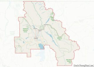
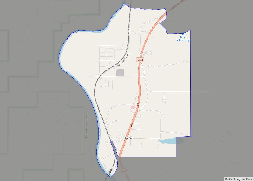
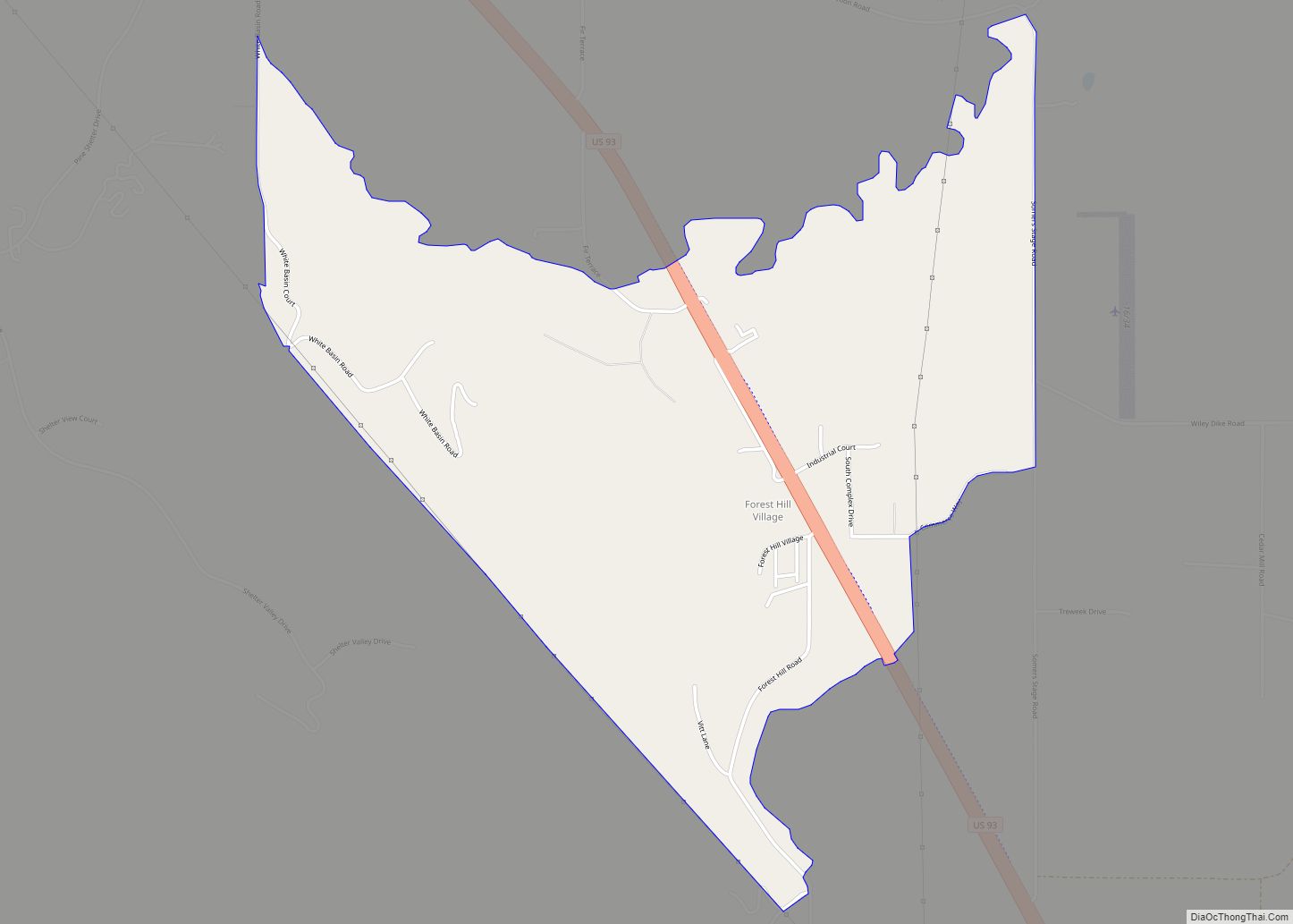
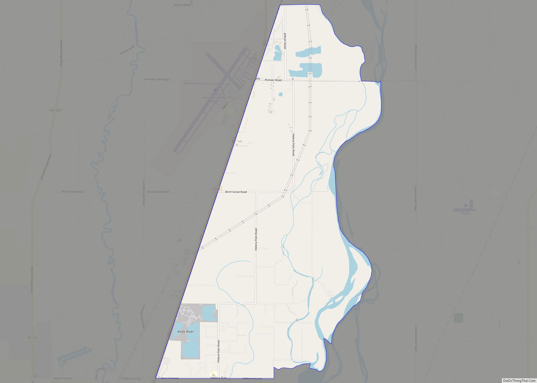
Online Interactive Map
Click on ![]() to view map in "full screen" mode.
to view map in "full screen" mode.
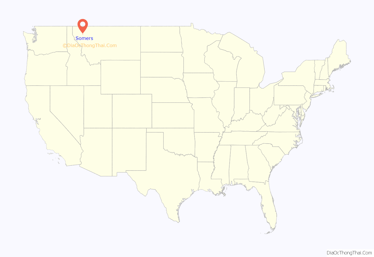
Somers location map. Where is Somers CDP?

History
Great Northern Railway magnate James J. Hill contracted to build a sawmill on the north end of Flathead Lake in 1900. A town was developed for the workers. The town was named for George O. Somers, a Vice President of the Great Northern Railroad, and the person responsible for overseeing the development of the new lumber town.
In 1909, the Industrial Worker, a newspaper published out of Seattle by the Industrial Workers of the World, described Somers thus:
The IWW at the time was in dispute with Jim Hill in connection with strike waves throughout the Flathead Valley, especially centered in Kalispell. Sawmill workers organized with the IWW struck at the Somers Lumber Company, with company management quickly hiring scab labor and blacklisting union members as a result. Tensions reached their peak in late July 1909, when the IWW warned unemployed workers to stay away from Somers to avoid the conditions there.
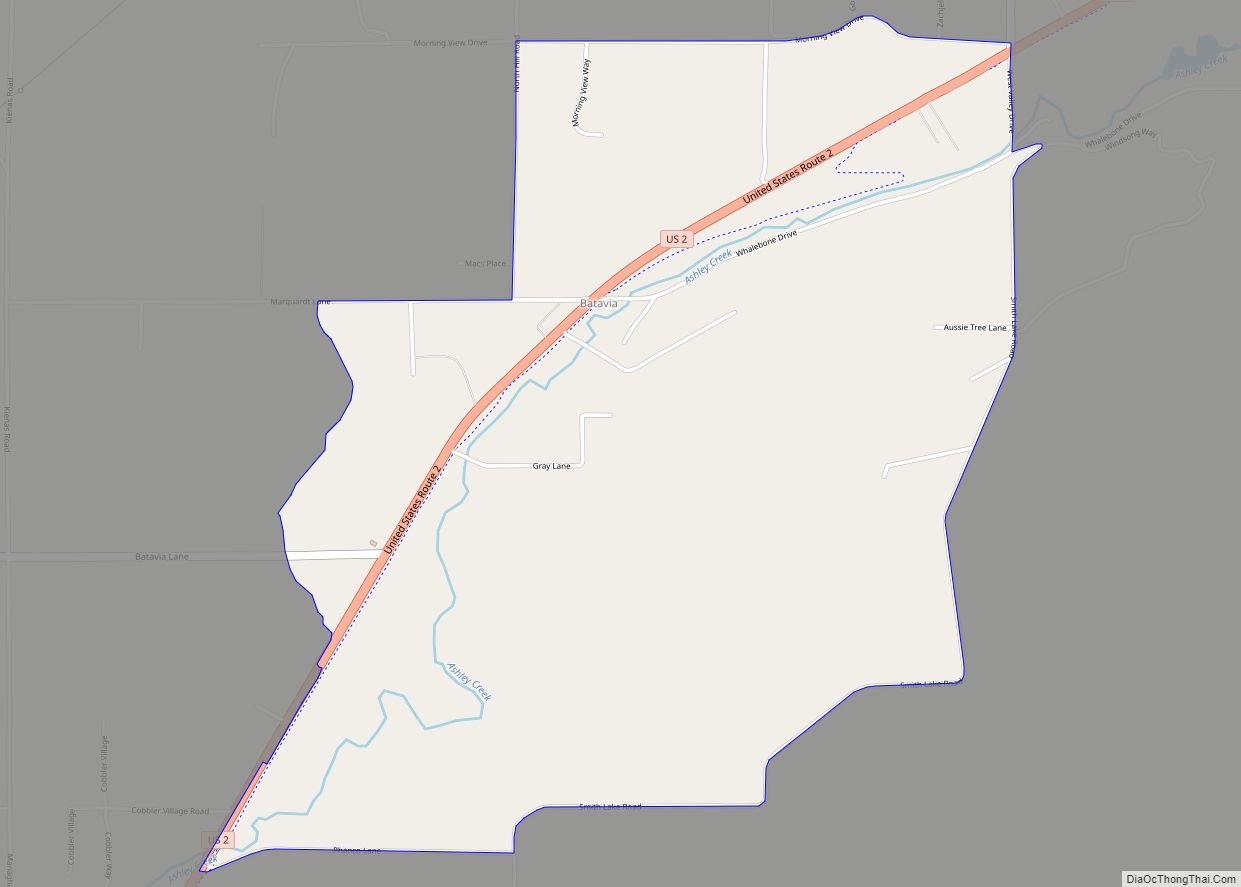
Somers Road Map
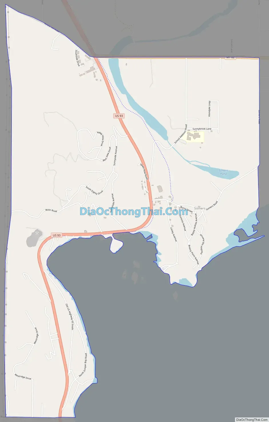
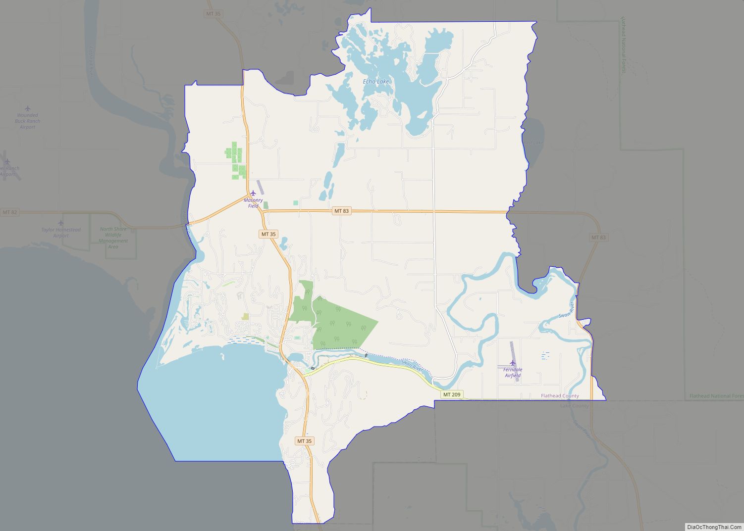
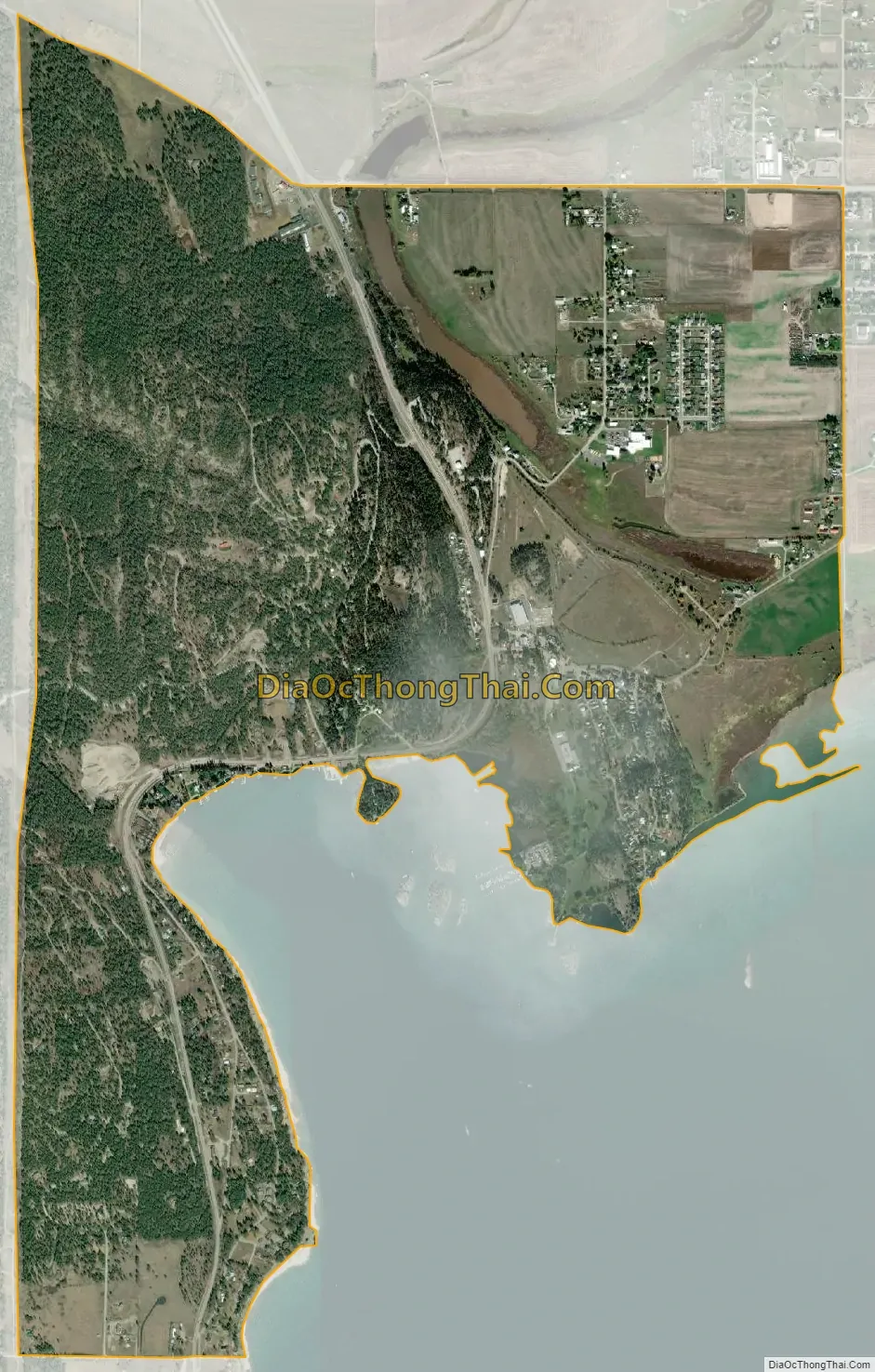
Somers city Satellite Map
Geography
Somers is located in south-central Flathead County at 48°4′47″N 114°13′40″W / 48.07972°N 114.22778°W / 48.07972; -114.22778 (48.079826, -114.227722), at the north end of Flathead Lake. It is bordered to the south by Lakeside. U.S. Route 93 passes through the community, leading north 9 miles (14 km) to Kalispell and south 42 miles (68 km) to Polson at the other end of the lake.
According to the United States Census Bureau, the Somers CDP has a total area of 3.0 square miles (7.8 km), of which 2.9 square miles (7.6 km) is land and 0.04 square miles (0.1 km), or 1.86%, is water.
See also
Map of Montana State and its subdivision:- Beaverhead
- Big Horn
- Blaine
- Broadwater
- Carbon
- Carter
- Cascade
- Chouteau
- Custer
- Daniels
- Dawson
- Deer Lodge
- Fallon
- Fergus
- Flathead
- Gallatin
- Garfield
- Glacier
- Golden Valley
- Granite
- Hill
- Jefferson
- Judith Basin
- Lake
- Lewis and Clark
- Liberty
- Lincoln
- Madison
- McCone
- Meagher
- Mineral
- Missoula
- Musselshell
- Park
- Petroleum
- Phillips
- Pondera
- Powder River
- Powell
- Prairie
- Ravalli
- Richland
- Roosevelt
- Rosebud
- Sanders
- Sheridan
- Silver Bow
- Stillwater
- Sweet Grass
- Teton
- Toole
- Treasure
- Valley
- Wheatland
- Wibaux
- Yellowstone
- Alabama
- Alaska
- Arizona
- Arkansas
- California
- Colorado
- Connecticut
- Delaware
- District of Columbia
- Florida
- Georgia
- Hawaii
- Idaho
- Illinois
- Indiana
- Iowa
- Kansas
- Kentucky
- Louisiana
- Maine
- Maryland
- Massachusetts
- Michigan
- Minnesota
- Mississippi
- Missouri
- Montana
- Nebraska
- Nevada
- New Hampshire
- New Jersey
- New Mexico
- New York
- North Carolina
- North Dakota
- Ohio
- Oklahoma
- Oregon
- Pennsylvania
- Rhode Island
- South Carolina
- South Dakota
- Tennessee
- Texas
- Utah
- Vermont
- Virginia
- Washington
- West Virginia
- Wisconsin
- Wyoming