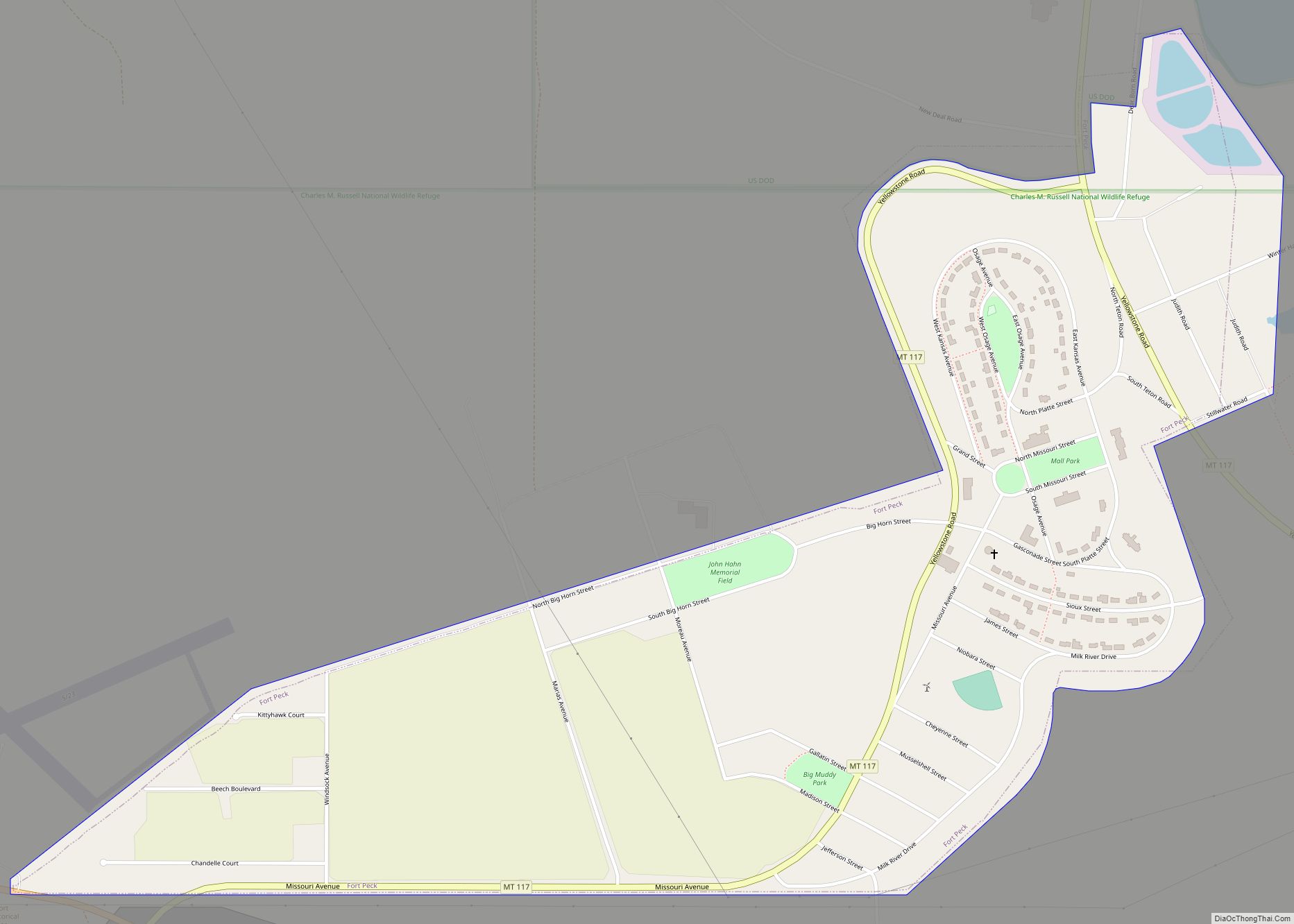
St. Marie is a census-designated place (CDP) in Valley County, Montana, United States. The population was 264 at the 2010 census. It is located at the site of the former Glasgow Air Force Base.
When the Air Force base was decommissioned, the on-base housing was purchased and offered for sale to private individuals. While many of the bids for the houses were from salvage companies, the community ultimately escaped demolition. Homes which had housed thousands of military personnel when the base was in operation were briefly promoted as condominiums for retirees.
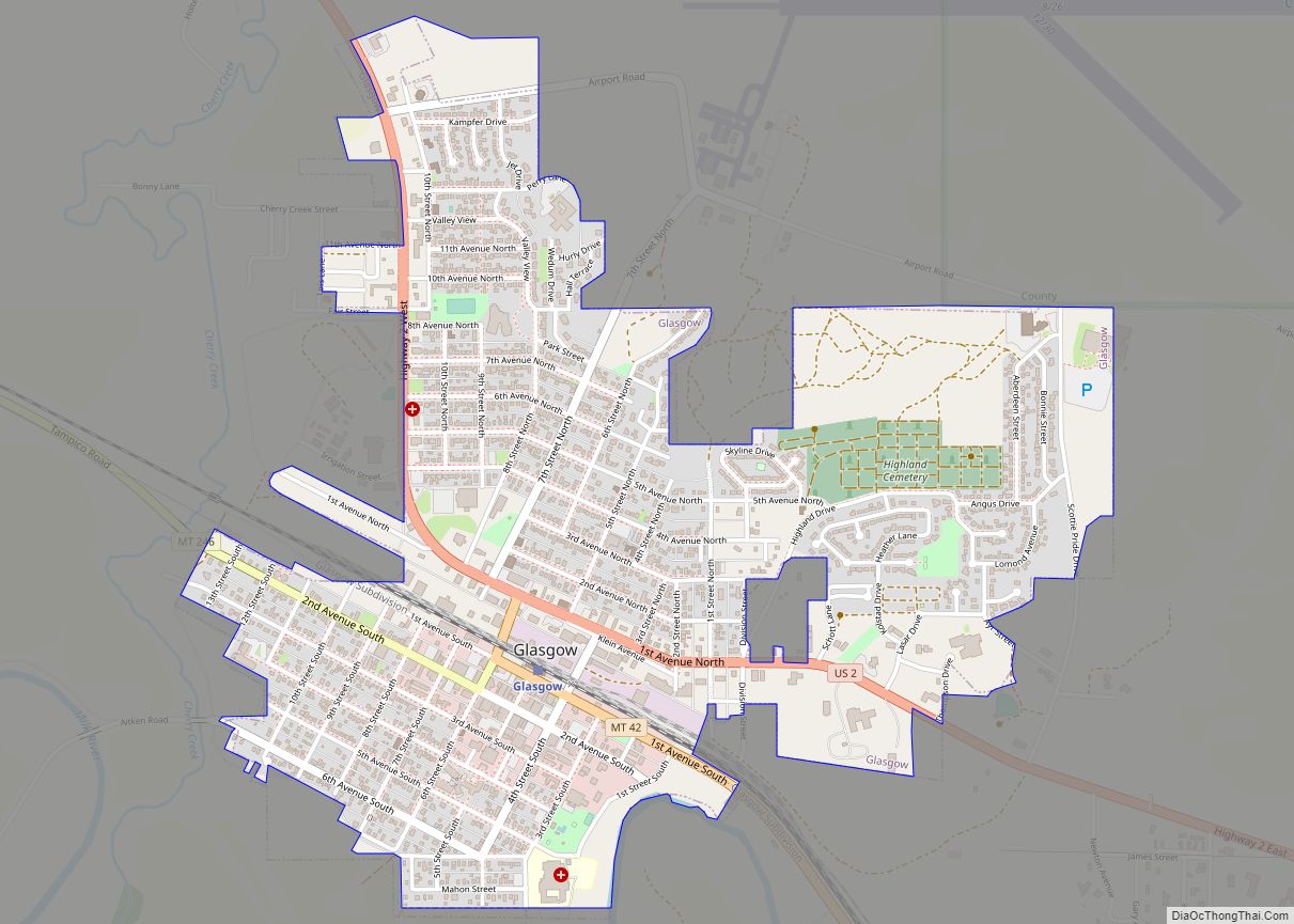
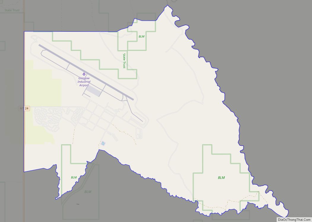
Despite local efforts, most of the re-purposed housing units sit empty and abandoned. A few hundred residents remain in what is otherwise a partial ghost town. The runway remains in use as Glasgow Industrial Airport (FAA LID: 07MT), a test site for Boeing aircraft. The nearby city of Glasgow, Montana has dropped in population by half (from 6400 in the 1960s to 3250 in 2010) after the base closure.
Beginning in 2012 the community became embroiled in a series of legal and political conflicts with an anti-government group called the “Citizens Action Committee of Valley County,” part of the larger Sovereign Citizen movement, with a similar philosophy to that of the Montana Freemen. The group intended to take ownership of the community though buying and seizing up a large amount of mostly vacant properties though bogus liens and litigation, while ostensibly planning a handful of investment schemes to redevelop them. The situation led to a number of St. Marie property owners being sued and a community backlash against the group followed.
The post office and town hall are still in operation along with a small handful of local businesses, but the school and a majority of businesses have closed. St. Marie has gained some interest from ghost town enthusiasts and back road explorers in recent years for its uniquely Atomic Age appeal, being much more intact and modern than most vacated locales and containing a fair number of larger buildings.
| Name: | St. Marie CDP |
|---|---|
| LSAD Code: | 57 |
| LSAD Description: | CDP (suffix) |
| State: | Montana |
| County: | Valley County |
| Elevation: | 2,753 ft (839 m) |
| Total Area: | 22.90 sq mi (59.31 km²) |
| Land Area: | 22.90 sq mi (59.31 km²) |
| Water Area: | 0.00 sq mi (0.00 km²) |
| Total Population: | 489 |
| Population Density: | 21.36/sq mi (8.25/km²) |
| ZIP code: | 59231 |
| Area code: | 406 |
| FIPS code: | 3065400 |
| GNISfeature ID: | 1677347 |
Online Interactive Map
Click on ![]() to view map in "full screen" mode.
to view map in "full screen" mode.
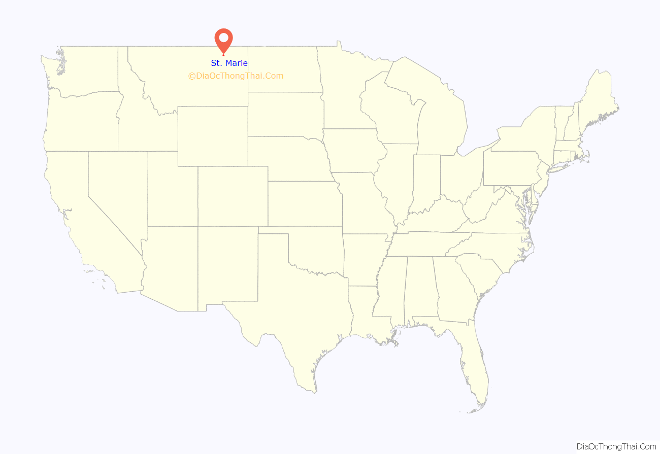
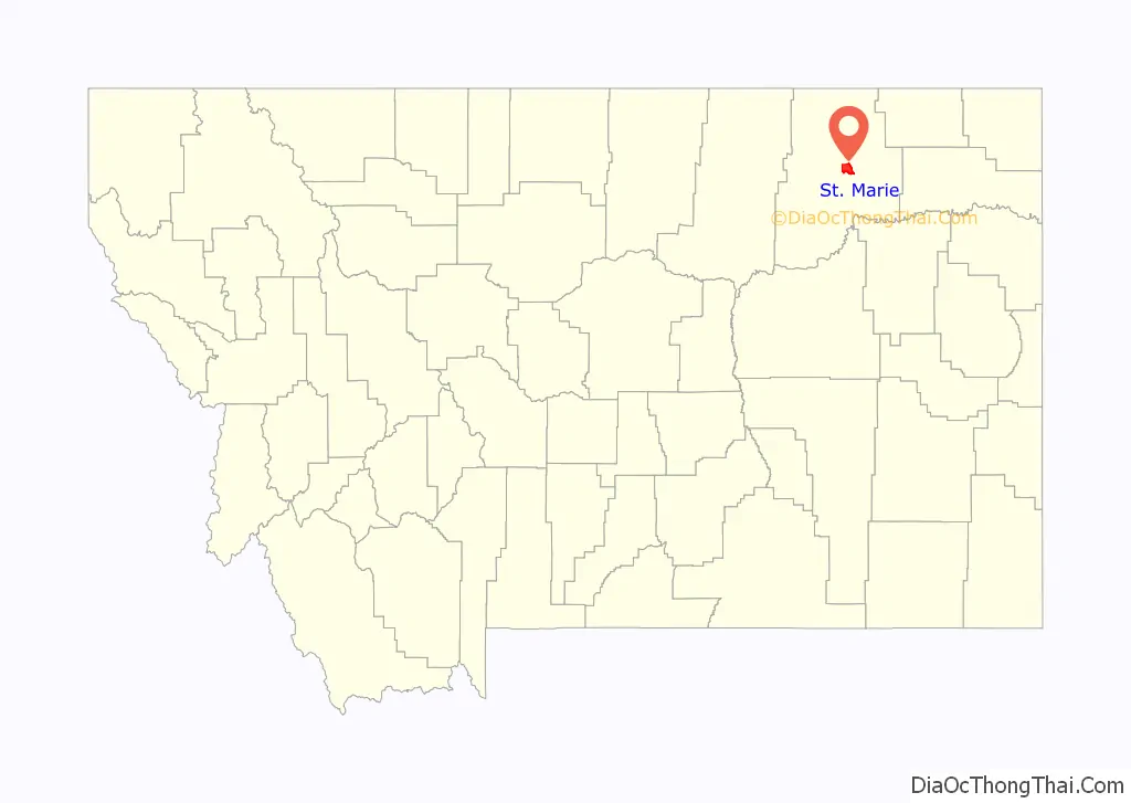
St. Marie location map. Where is St. Marie CDP?
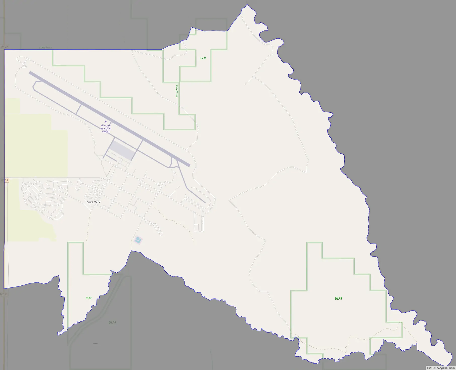
St. Marie Road Map
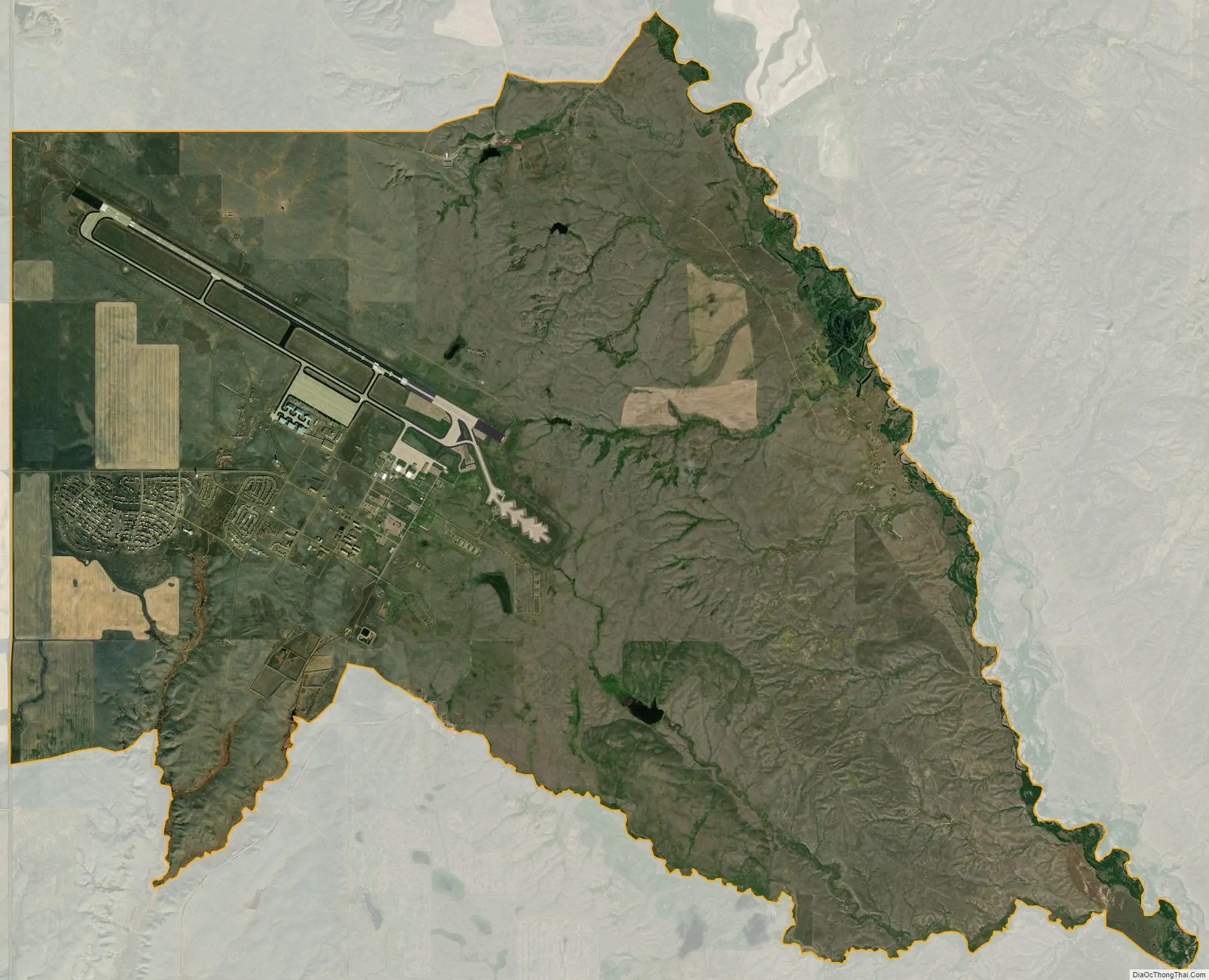
St. Marie city Satellite Map
Geography
St. Marie is located at 48°24′18″N 106°30′08″W / 48.404945°N 106.502086°W / 48.404945; -106.502086 (48.404945, -106.502086).
According to the United States Census Bureau, the CDP has a total area of 22.9 square miles (59 km), of which 22.8 square miles (59 km) is land and 0.1 square miles (0.26 km) (0.44%) is water.
See also
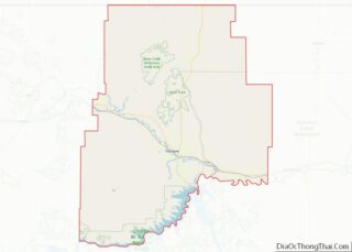
Map of Montana State and its subdivision:- Beaverhead
- Big Horn
- Blaine
- Broadwater
- Carbon
- Carter
- Cascade
- Chouteau
- Custer
- Daniels
- Dawson
- Deer Lodge
- Fallon
- Fergus
- Flathead
- Gallatin
- Garfield
- Glacier
- Golden Valley
- Granite
- Hill
- Jefferson
- Judith Basin
- Lake
- Lewis and Clark
- Liberty
- Lincoln
- Madison
- McCone
- Meagher
- Mineral
- Missoula
- Musselshell
- Park
- Petroleum
- Phillips
- Pondera
- Powder River
- Powell
- Prairie
- Ravalli
- Richland
- Roosevelt
- Rosebud
- Sanders
- Sheridan
- Silver Bow
- Stillwater
- Sweet Grass
- Teton
- Toole
- Treasure
- Valley
- Wheatland
- Wibaux
- Yellowstone
- Alabama
- Alaska
- Arizona
- Arkansas
- California
- Colorado
- Connecticut
- Delaware
- District of Columbia
- Florida
- Georgia
- Hawaii
- Idaho
- Illinois
- Indiana
- Iowa
- Kansas
- Kentucky
- Louisiana
- Maine
- Maryland
- Massachusetts
- Michigan
- Minnesota
- Mississippi
- Missouri
- Montana
- Nebraska
- Nevada
- New Hampshire
- New Jersey
- New Mexico
- New York
- North Carolina
- North Dakota
- Ohio
- Oklahoma
- Oregon
- Pennsylvania
- Rhode Island
- South Carolina
- South Dakota
- Tennessee
- Texas
- Utah
- Vermont
- Virginia
- Washington
- West Virginia
- Wisconsin
- Wyoming